
| Memorials | : | 139 |
| Location | : | Walton, Boone County, USA |
| Phone | : | (859) 485-7200 |
| Coordinate | : | 38.8994500, -84.6516300 |
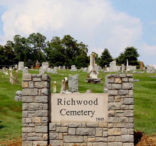
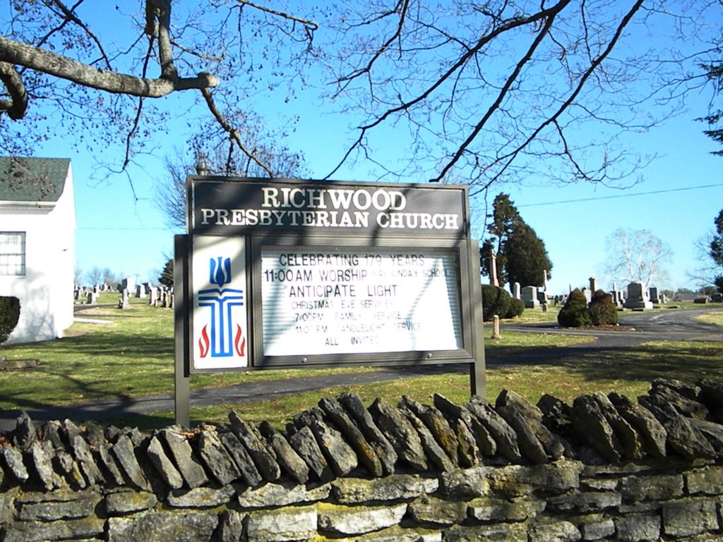
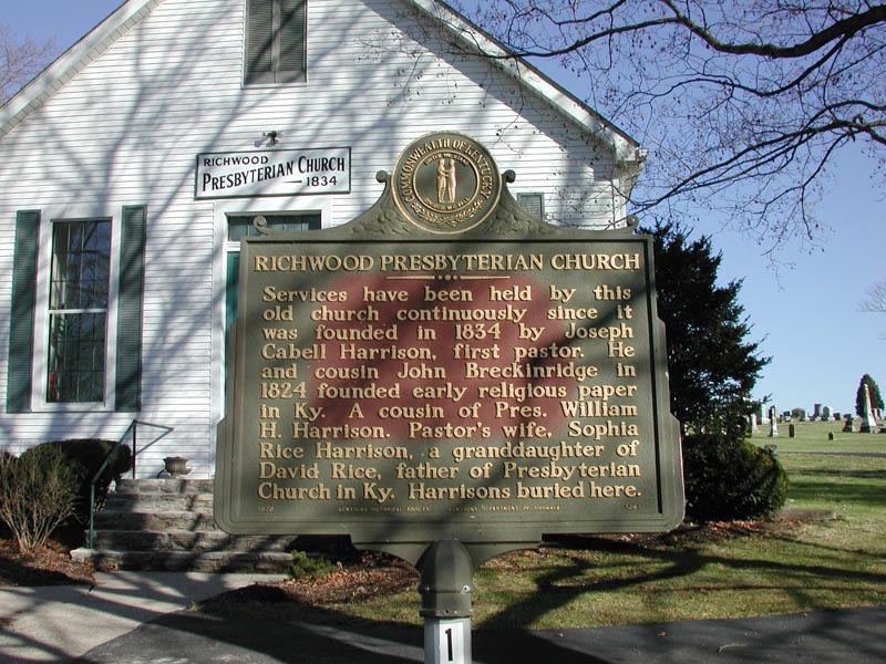
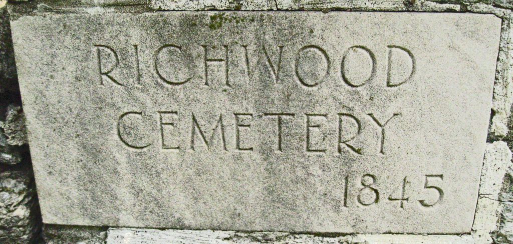
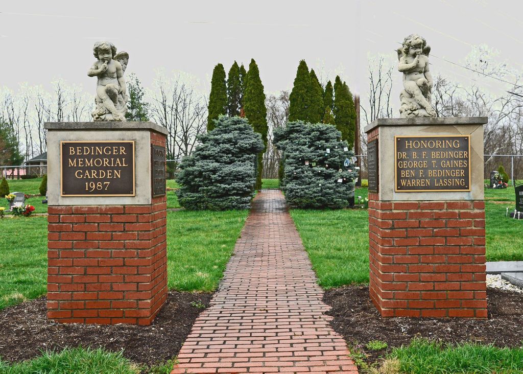
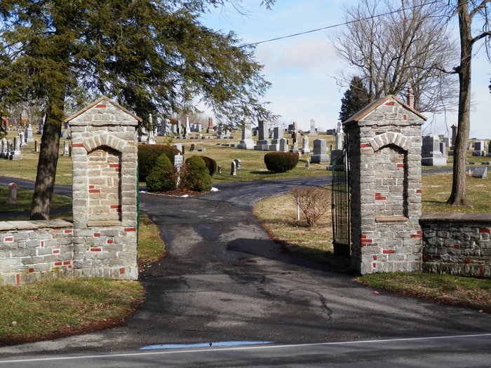
| Description | : | Take the Richwood exit off I-75 (Exit No. 175) on to Route 338 If going South turn Right (West) If going North turn Left Go 1.8 miles to a 3-way stop Turn Right Cemetery is immediately on the right next to church The U.S. Geological Survey (USGS) Geographic Names Information System (GNIS) feature ID for the cemetery is 2569286 (Richwood Church Cemetery). The Boone County GIS unique ID assigned to this cemetery is 137 (Richwood Presbyterian Cemetery). The cemetery has an index number of 139 (Richwood Presbyterian) on the Boone County Kentucky Cemetery Map published in 2005 by the Boone County Planning Commission in conjunction with... Read More |
frequently asked questions (FAQ):
-
Where is Richwood Presbyterian Cemetery?
Richwood Presbyterian Cemetery is located at 1070 Richwood Road Walton, Boone County ,Kentucky , 41094USA.
-
Richwood Presbyterian Cemetery cemetery's updated grave count on graveviews.com?
138 memorials
-
Where are the coordinates of the Richwood Presbyterian Cemetery?
Latitude: 38.8994500
Longitude: -84.6516300
Nearby Cemetories:
1. Hughes Cemetery
Walton, Boone County, USA
Coordinate: 38.8897220, -84.6438890
2. Hudson Cemetery
Walton, Boone County, USA
Coordinate: 38.8872220, -84.6375000
3. Senour Family Burying Ground
Walton, Boone County, USA
Coordinate: 38.8844770, -84.6396230
4. Glackin Family Cemetery
Richwood, Boone County, USA
Coordinate: 38.9130050, -84.6302180
5. Booth Family Cemetery
Union, Boone County, USA
Coordinate: 38.9265990, -84.6450410
6. Lampton Family Cemetery
Richwood, Boone County, USA
Coordinate: 38.9104350, -84.6151260
7. Carpenter Cemetery
Boone County, USA
Coordinate: 38.9258070, -84.6281840
8. Robinson Cemetery
Walton, Boone County, USA
Coordinate: 38.8888890, -84.6100000
9. Butts-Snow-Loar Cemetery
Union, Boone County, USA
Coordinate: 38.9328660, -84.6396090
10. Hughes Chapel Cemetery
Union, Boone County, USA
Coordinate: 38.8855896, -84.6936111
11. Cleek Cemetery (Defunct)
Union, Boone County, USA
Coordinate: 38.9341620, -84.6634140
12. Carter Family Cemetery
Union, Boone County, USA
Coordinate: 38.9370090, -84.6565470
13. Philip Baker Cemetery (Defunct)
Union, Boone County, USA
Coordinate: 38.9338890, -84.6730560
14. Bethel Baptist Church Cemetery
Union, Boone County, USA
Coordinate: 38.9356040, -84.6677790
15. Johnson-Noell Family Cemetery
Walton, Boone County, USA
Coordinate: 38.8611180, -84.6497140
16. Beaverlick Cemetery
Beaverlick, Boone County, USA
Coordinate: 38.8790070, -84.6950630
17. Finnell-Burton-Roberts Cemetery
Walton, Boone County, USA
Coordinate: 38.8665940, -84.6216130
18. Clarkson Family Cemetery
Union, Boone County, USA
Coordinate: 38.9401620, -84.6559290
19. Grubbs Cemetery
Richwood, Boone County, USA
Coordinate: 38.9366260, -84.6262810
20. Rachel Hudson Cemetery
Beaverlick, Boone County, USA
Coordinate: 38.8750000, -84.6969440
21. Hugh Steers Burial Site
Florence, Boone County, USA
Coordinate: 38.9340280, -84.6865210
22. Marshall Family Cemetery
Union, Boone County, USA
Coordinate: 38.9438890, -84.6455560
23. Roberts Family Cemetery
Walton, Boone County, USA
Coordinate: 38.8531970, -84.6457220
24. Stansifer-Utz Cemetery
Union, Boone County, USA
Coordinate: 38.9419289, -84.6791534