
| Memorials | : | 117 |
| Location | : | Hebron, Boone County, USA |
| Coordinate | : | 39.0641677, -84.6988889 |
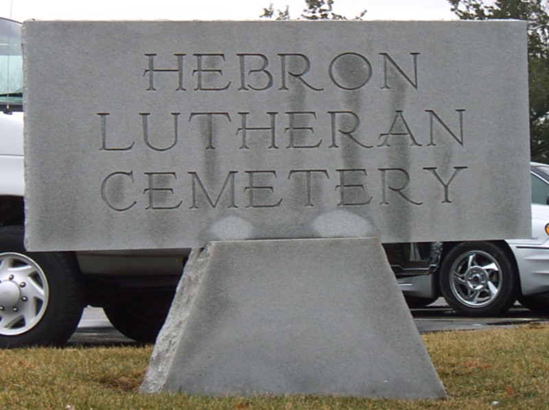
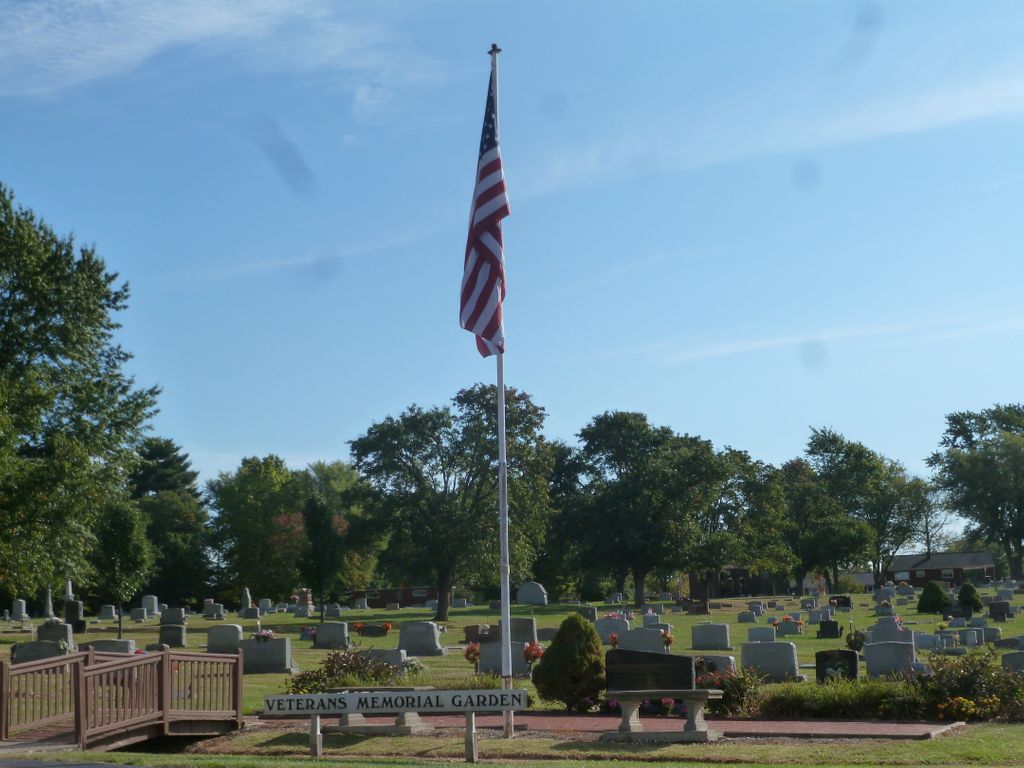
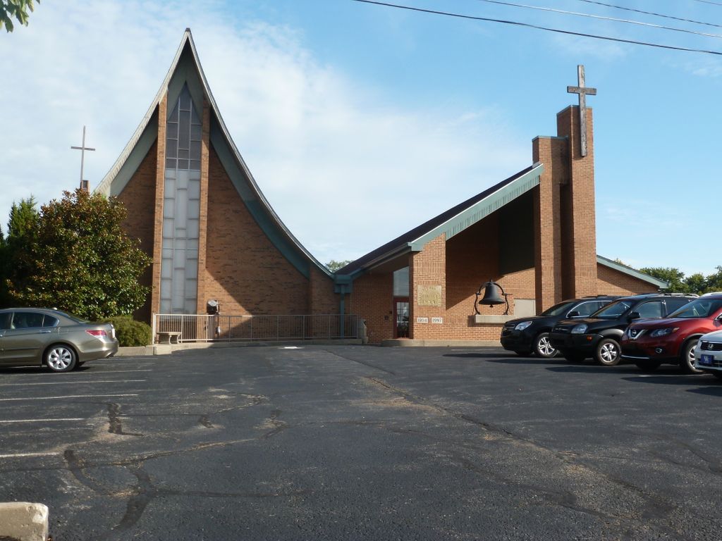
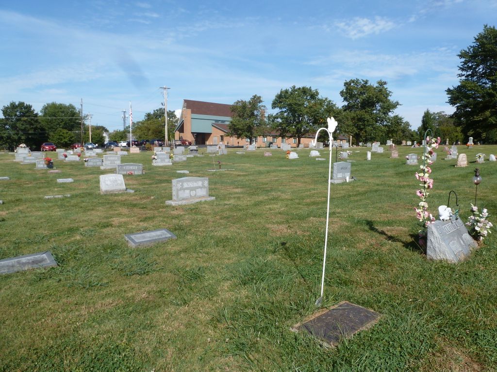
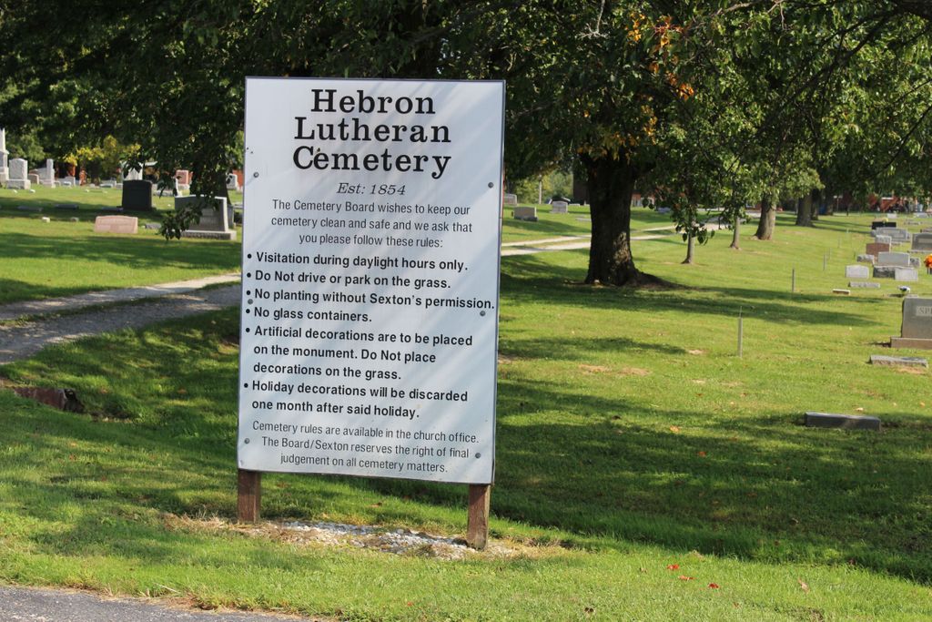
| Description | : | This cemetery is located behind the Hebron Lutheran Church on the east side of Limaburg Road (Kentucky State Highway 3168) about 0.1 miles south of its intersection with Petersburg Road (Kentucky State Highway 20). The U.S. Geological Survey (USGS) Geographic Names Information System (GNIS) feature ID for the cemetery is 2090295 (Hebron Lutheran Church Cemetery). The Boone County GIS unique ID assigned to this cemetery is 80 (Hebron Lutheran Church Cemetery). The cemetery has an index number of 81 (Hebron Lutheran Church Cemetery) on the Boone County Kentucky Cemetery Map published in 2005 by the Boone County Planning Commission in conjunction with Johnson-Wilson... Read More |
frequently asked questions (FAQ):
-
Where is Hebron Lutheran Church Cemetery?
Hebron Lutheran Church Cemetery is located at 3090 Limaburg Road (Kentucky State Highway 3168) Hebron, Boone County ,Kentucky , 41048USA.
-
Hebron Lutheran Church Cemetery cemetery's updated grave count on graveviews.com?
105 memorials
-
Where are the coordinates of the Hebron Lutheran Church Cemetery?
Latitude: 39.0641677
Longitude: -84.6988889
Nearby Cemetories:
1. Hicks Cemetery
Hebron, Boone County, USA
Coordinate: 39.0711110, -84.7013890
2. Crigler-Clore-Smith Cemetery
Hebron, Boone County, USA
Coordinate: 39.0580560, -84.7141670
3. Zinn Cemetery
Burlington, Boone County, USA
Coordinate: 39.0447220, -84.7183330
4. Utz Slave Cemetery
Burlington, Boone County, USA
Coordinate: 39.0416670, -84.7172220
5. Utz Cemetery
Burlington, Boone County, USA
Coordinate: 39.0414170, -84.7177350
6. Rouse-Utz Cemetery
Burlington, Boone County, USA
Coordinate: 39.0372220, -84.7127780
7. McNeal Family Cemetery
Florence, Boone County, USA
Coordinate: 39.0638790, -84.6581350
8. Souther Cemetery
Taylorsport, Boone County, USA
Coordinate: 39.0972830, -84.7071080
9. E Rouse Cemetery (Defunct)
Hebron, Boone County, USA
Coordinate: 39.0316670, -84.6869440
10. Garnet Cemetery
Florence, Boone County, USA
Coordinate: 39.0377998, -84.6694031
11. Crisler-Millakin Place Cemetery
Burlington, Boone County, USA
Coordinate: 39.0676970, -84.7441380
12. Taylorsport Cemetery
Taylorsport, Boone County, USA
Coordinate: 39.0996972, -84.6945611
13. Watts Cemetery
Hebron, Boone County, USA
Coordinate: 39.0788994, -84.7427979
14. Old Burlington Cemetery
Burlington, Boone County, USA
Coordinate: 39.0319444, -84.7233333
15. Nancy Harper Cemetery (Defunct)
Stringtown, Boone County, USA
Coordinate: 39.0800000, -84.6550000
16. Graves-Duncan Cemetery
Francisville, Boone County, USA
Coordinate: 39.0963080, -84.7268580
17. Limaburg Cemetery
Limaburg, Boone County, USA
Coordinate: 39.0303260, -84.6741860
18. Christy Family Cemetery
Burlington, Boone County, USA
Coordinate: 39.0380790, -84.6617180
19. Brown Cemetery
Hebron, Boone County, USA
Coordinate: 39.0377780, -84.6613890
20. Potters Field Cemetery
Burlington, Boone County, USA
Coordinate: 39.0341670, -84.7319440
21. Klasserner-Wilson Family Cemetery
Taylorsport, Boone County, USA
Coordinate: 39.0895810, -84.6596880
22. Duncan Cemetery
Burlington, Boone County, USA
Coordinate: 39.0478230, -84.7459560
23. Weaver Cemetery
Florence, Boone County, USA
Coordinate: 39.0283012, -84.6755981
24. Burlington IOOF Cemetery
Burlington, Boone County, USA
Coordinate: 39.0253983, -84.7154999