
| Memorials | : | 0 |
| Location | : | Hebron, Boone County, USA |
| Coordinate | : | 39.0711110, -84.7013890 |
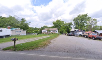
| Description | : | The cemetery is located on the north side of Elijah Creek road about 300 feet northeast of its junction with Limaburg Road (Kentucky State Highway 3168). The Boone County GIS unique ID assigned to this cemetery is 83 (Hicks Cemetery). The cemetery has an index number of 84 (Hicks) on the Boone County Kentucky Cemetery Map published in 2005 by the Boone County Planning Commission in conjunction with Johnson-Wilson Cemetery Stewards Association. The cemetery is identified as Hicks Cemetery in Boone County Family Cemetery Register, Volume 1, compiled by the Boone County Historic Preservation Review Board. The cemetery register sheet is dated October... Read More |
frequently asked questions (FAQ):
-
Where is Hicks Cemetery?
Hicks Cemetery is located at Elijah Creek Road Hebron, Boone County ,Kentucky , 41048USA.
-
Hicks Cemetery cemetery's updated grave count on graveviews.com?
0 memorials
-
Where are the coordinates of the Hicks Cemetery?
Latitude: 39.0711110
Longitude: -84.7013890
Nearby Cemetories:
1. Hebron Lutheran Church Cemetery
Hebron, Boone County, USA
Coordinate: 39.0641677, -84.6988889
2. Crigler-Clore-Smith Cemetery
Hebron, Boone County, USA
Coordinate: 39.0580560, -84.7141670
3. Souther Cemetery
Taylorsport, Boone County, USA
Coordinate: 39.0972830, -84.7071080
4. Taylorsport Cemetery
Taylorsport, Boone County, USA
Coordinate: 39.0996972, -84.6945611
5. Zinn Cemetery
Burlington, Boone County, USA
Coordinate: 39.0447220, -84.7183330
6. Utz Slave Cemetery
Burlington, Boone County, USA
Coordinate: 39.0416670, -84.7172220
7. Graves-Duncan Cemetery
Francisville, Boone County, USA
Coordinate: 39.0963080, -84.7268580
8. Utz Cemetery
Burlington, Boone County, USA
Coordinate: 39.0414170, -84.7177350
9. Watts Cemetery
Hebron, Boone County, USA
Coordinate: 39.0788994, -84.7427979
10. Crisler-Millakin Place Cemetery
Burlington, Boone County, USA
Coordinate: 39.0676970, -84.7441380
11. McNeal Family Cemetery
Florence, Boone County, USA
Coordinate: 39.0638790, -84.6581350
12. Rouse-Utz Cemetery
Burlington, Boone County, USA
Coordinate: 39.0372220, -84.7127780
13. Nancy Harper Cemetery (Defunct)
Stringtown, Boone County, USA
Coordinate: 39.0800000, -84.6550000
14. Klasserner-Wilson Family Cemetery
Taylorsport, Boone County, USA
Coordinate: 39.0895810, -84.6596880
15. Sand Run Baptist Church Cemetery
Francisville, Boone County, USA
Coordinate: 39.1035156, -84.7259293
16. E Rouse Cemetery (Defunct)
Hebron, Boone County, USA
Coordinate: 39.0316670, -84.6869440
17. Garnet Cemetery
Florence, Boone County, USA
Coordinate: 39.0377998, -84.6694031
18. Duncan Cemetery
Burlington, Boone County, USA
Coordinate: 39.0478230, -84.7459560
19. Old Burlington Cemetery
Burlington, Boone County, USA
Coordinate: 39.0319444, -84.7233333
20. Peeno Cemetery #02
Constance, Boone County, USA
Coordinate: 39.0725000, -84.6455560
21. Potters Field Cemetery
Burlington, Boone County, USA
Coordinate: 39.0341670, -84.7319440
22. Calvin Peeno Cemetery
Stringtown, Boone County, USA
Coordinate: 39.0815917, -84.6461861
23. Peeno Cemetery
Constance, Boone County, USA
Coordinate: 39.0752983, -84.6446991
24. Masters Cemetery
Constance, Boone County, USA
Coordinate: 39.0675000, -84.6444440