| Memorials | : | 0 |
| Location | : | Polkton, Anson County, USA |
| Coordinate | : | 34.9338200, -80.1701710 |
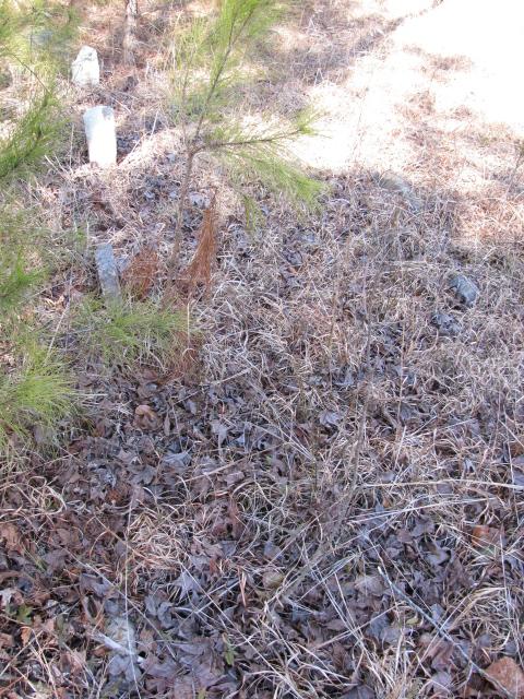
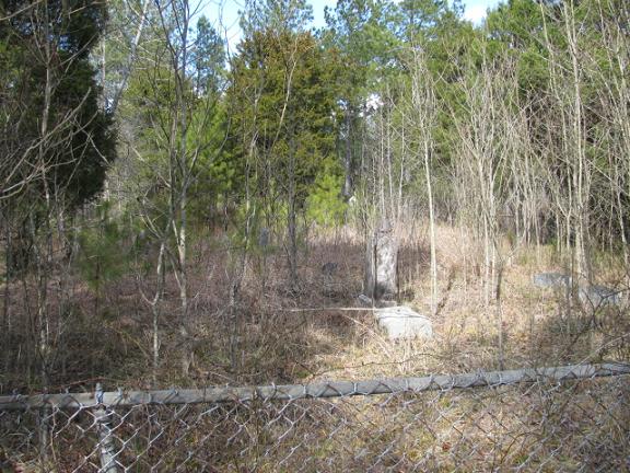
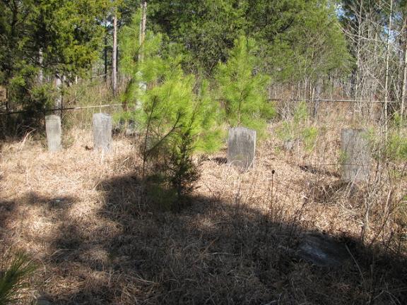
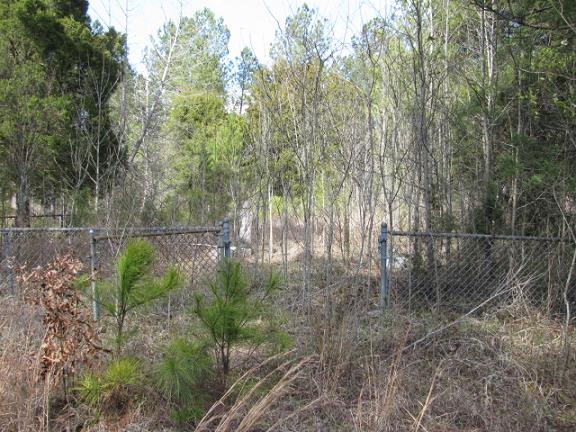
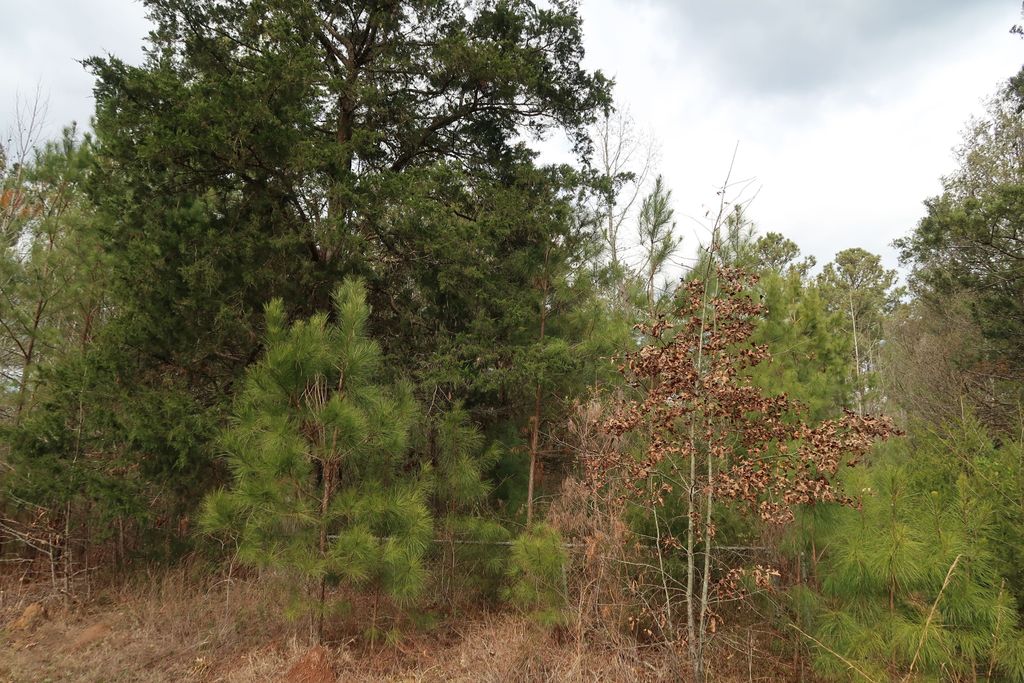
| Description | : | Please add directions: From Wadesboro, N.C. take Whites Store Road for 6.4 miles. You will pass Prison Camp Road which is on the right. Take the second dirt drive to the left. At present time it leads to a lot with campers on it. These campers are occupied during deer hunting season. Go past the campers and it will be on the left beside the dirt drive. This is PRIVATE PROPERTY. Please get permission. |
frequently asked questions (FAQ):
-
Where is Henry Cemetery?
Henry Cemetery is located at Polkton, Anson County ,North Carolina ,USA.
-
Henry Cemetery cemetery's updated grave count on graveviews.com?
0 memorials
-
Where are the coordinates of the Henry Cemetery?
Latitude: 34.9338200
Longitude: -80.1701710
Nearby Cemetories:
1. John Horne Cemetery
White Store Township, Anson County, USA
Coordinate: 34.9261230, -80.1853470
2. Lawrence & Tabitha Moore Family Cemetery
Anson County, USA
Coordinate: 34.9531410, -80.1789090
3. Poplar Hill United Methodist Church Cemetery
Polkton, Anson County, USA
Coordinate: 34.9383230, -80.2031990
4. West Rocky Ford Missionary Baptist Church Cemetery
Wadesboro, Anson County, USA
Coordinate: 34.9518660, -80.1426080
5. Gordon Mountain Cemetery
Wadesboro Township, Anson County, USA
Coordinate: 34.9162604, -80.2001372
6. Tillman Cemetery
Travis, Anson County, USA
Coordinate: 34.9068350, -80.1492490
7. Camden Presbyterian Church Cemetery
Wadesboro, Anson County, USA
Coordinate: 34.9083061, -80.1437073
8. Chewning Cemetery
Lowrys, Anson County, USA
Coordinate: 34.8983231, -80.1577988
9. Poplar Hill Missionary Baptist Church Cemetery
Polkton, Anson County, USA
Coordinate: 34.9182590, -80.2223500
10. McGregor Cemetery
White Store Township, Anson County, USA
Coordinate: 34.8868904, -80.1724396
11. Gaddy Cemetery
Deep Creek, Anson County, USA
Coordinate: 34.8924332, -80.1427307
12. Bennett Grove Cemetery
Polkton, Anson County, USA
Coordinate: 34.9847908, -80.1757202
13. Westview Memorial Park
Russellville, Anson County, USA
Coordinate: 34.9867440, -80.1476560
14. Mineral Springs Baptist Church Cemetery
Peachland, Anson County, USA
Coordinate: 34.9440660, -80.2407720
15. Union Methodist Church Cemetery
White Store Township, Anson County, USA
Coordinate: 34.8811188, -80.2098846
16. Redfearn Cemetery
White Store Township, Anson County, USA
Coordinate: 34.8831670, -80.2186670
17. Hanna Chapel United Methodist Church Cemetery
Wadesboro, Anson County, USA
Coordinate: 34.9461680, -80.0919250
18. Gulledge-Webb Cemetery
Deep Creek, Anson County, USA
Coordinate: 34.8697357, -80.1394882
19. Moore Cemetery
Anson County, USA
Coordinate: 34.8864059, -80.1085587
20. W Edmund Horne Family Cemetery
Polkton, Anson County, USA
Coordinate: 34.9924040, -80.2159670
21. Richmond-Sturdivant Cemetery
Polkton, Anson County, USA
Coordinate: 35.0036011, -80.1592026
22. Tarlton Cemetery
Wadesboro, Anson County, USA
Coordinate: 34.9529343, -80.0859528
23. Rev. Joel Gulledge Cemetery
Deep Creek, Anson County, USA
Coordinate: 34.8620071, -80.1693420
24. Magnolia Summitt Cemetery
Wadesboro, Anson County, USA
Coordinate: 34.9786700, -80.1010600

