
| Memorials | : | 0 |
| Location | : | Polkton, Anson County, USA |
| Coordinate | : | 34.9182590, -80.2223500 |
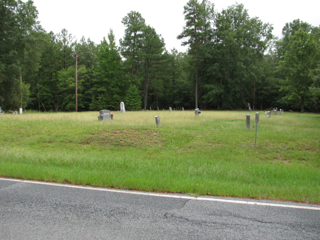
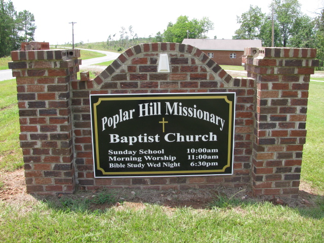
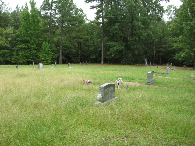
| Description | : | Take White Store Road south from Wadesboro, N.C. for about 8 miles. Church will be on the right at the intersection of Poplar Hill Church Road. Cemetery is not at the church. Cemetery will be about one mile on down White Store Road on the left. Church phone 704-694-6187. The map is for the cemetery. |
frequently asked questions (FAQ):
-
Where is Poplar Hill Missionary Baptist Church Cemetery?
Poplar Hill Missionary Baptist Church Cemetery is located at White Store Road Polkton, Anson County ,North Carolina , 28135USA.
-
Poplar Hill Missionary Baptist Church Cemetery cemetery's updated grave count on graveviews.com?
0 memorials
-
Where are the coordinates of the Poplar Hill Missionary Baptist Church Cemetery?
Latitude: 34.9182590
Longitude: -80.2223500

Nearby Cemetories:
1. Gordon Mountain Cemetery
Wadesboro Township, Anson County, USA
Coordinate: 34.9162604, -80.2001372
2. Poplar Hill United Methodist Church Cemetery
Polkton, Anson County, USA
Coordinate: 34.9383230, -80.2031990
3. Mineral Springs Baptist Church Cemetery
Peachland, Anson County, USA
Coordinate: 34.9440660, -80.2407720
4. John Horne Cemetery
White Store Township, Anson County, USA
Coordinate: 34.9261230, -80.1853470
5. Redfearn Cemetery
White Store Township, Anson County, USA
Coordinate: 34.8831670, -80.2186670
6. Union Methodist Church Cemetery
White Store Township, Anson County, USA
Coordinate: 34.8811188, -80.2098846
7. Gulledge Cemetery
White Store Township, Anson County, USA
Coordinate: 34.8821640, -80.2390366
8. Gulledge Cemetery
White Store Township, Anson County, USA
Coordinate: 34.8834496, -80.2495880
9. Barrett Cemetery
White Store Township, Anson County, USA
Coordinate: 34.9109192, -80.2752991
10. Henry Cemetery
Polkton, Anson County, USA
Coordinate: 34.9338200, -80.1701710
11. Col. Joseph White Cemetery
White Store Township, Anson County, USA
Coordinate: 34.9440760, -80.2709150
12. Lawrence & Tabitha Moore Family Cemetery
Anson County, USA
Coordinate: 34.9531410, -80.1789090
13. Sturdivant-Bennett-Dargan Cemetery
Peachland, Anson County, USA
Coordinate: 34.9506000, -80.2701150
14. McGregor Cemetery
White Store Township, Anson County, USA
Coordinate: 34.8868904, -80.1724396
15. Chewning Cemetery
Lowrys, Anson County, USA
Coordinate: 34.8983231, -80.1577988
16. Huntley Cemetery
White Store Township, Anson County, USA
Coordinate: 34.8659070, -80.2583430
17. Tillman Cemetery
Travis, Anson County, USA
Coordinate: 34.9068350, -80.1492490
18. Edwards Cemetery
Peachland, Anson County, USA
Coordinate: 34.9362300, -80.2953280
19. Camden Presbyterian Church Cemetery
Wadesboro, Anson County, USA
Coordinate: 34.9083061, -80.1437073
20. Horne Family Cemetery
Peachland, Anson County, USA
Coordinate: 34.9515150, -80.2928600
21. Phillips Cemetery
Peachland, Anson County, USA
Coordinate: 34.9668010, -80.2831610
22. Gaddy Cemetery
Deep Creek, Anson County, USA
Coordinate: 34.8924332, -80.1427307
23. Collins Cemetery
White Store Township, Anson County, USA
Coordinate: 34.8569540, -80.2646970
24. Rev. Joel Gulledge Cemetery
Deep Creek, Anson County, USA
Coordinate: 34.8620071, -80.1693420