| Memorials | : | 0 |
| Location | : | Alveley, Shropshire Unitary Authority, England |
| Website | : | www.claverley-tuckhill.co.uk/Holy-Innocents-Tuck-Hill.html |
| Coordinate | : | 52.4932817, -2.2902335 |
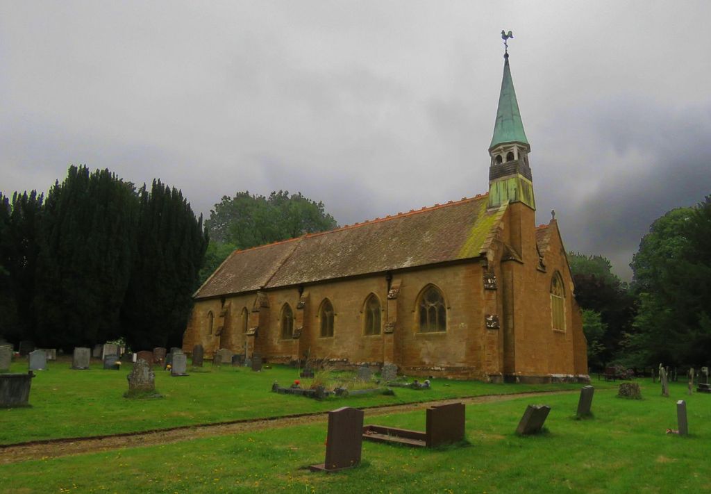
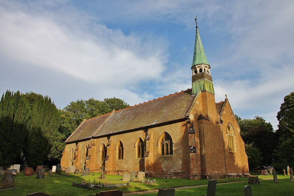
| Description | : | The church situated in an elevated position with superb views of Shropshire and is surrounded by mature beech and Spanish chestnut trees. On early spring days the churchyard is carpeted with snowdrops and then daffodils.in his memory and the processional cross was given in memory of the Rev. Alexander Stodart, Vicar of this church 1914-1927. There is a simple war memorial on the north wall of the nave in memory of those from the parish who perished in the Great War of 1914-1918. |
frequently asked questions (FAQ):
-
Where is Holy Innocents Churchyard?
Holy Innocents Churchyard is located at Alveley, Shropshire Unitary Authority ,Shropshire , WV15 6EWEngland.
-
Holy Innocents Churchyard cemetery's updated grave count on graveviews.com?
0 memorials
-
Where are the coordinates of the Holy Innocents Churchyard?
Latitude: 52.4932817
Longitude: -2.2902335
Nearby Cemetories:
1. Holy Cross Churchyard
Bobbington, South Staffordshire Borough, England
Coordinate: 52.5011697, -2.2450663
2. All Saints Churchyard
Claverley, Shropshire Unitary Authority, England
Coordinate: 52.5382800, -2.3069010
3. Saint Mary the Virgin Churchyard
Alveley, Shropshire Unitary Authority, England
Coordinate: 52.4581590, -2.3553520
4. Sytch Lane Cemetery
Wombourne, South Staffordshire Borough, England
Coordinate: 52.5261590, -2.1892040
5. St. Mary's Churchyard
Highley, Shropshire Unitary Authority, England
Coordinate: 52.4465100, -2.3818640
6. Earl of Dudley's Memory Garden
Himley, South Staffordshire Borough, England
Coordinate: 52.5177000, -2.1739000
7. Saint Peter's Church
Chelmarsh, Shropshire Unitary Authority, England
Coordinate: 52.4878300, -2.4129890
8. St. Michael & All Angels Churchyard
Himley, South Staffordshire Borough, England
Coordinate: 52.5177560, -2.1738320
9. St Benedict Biscop Churchyard
Wombourne, South Staffordshire Borough, England
Coordinate: 52.5361394, -2.1834008
10. St. Peter's Churchyard
Upper Arley, Wyre Forest District, England
Coordinate: 52.4215560, -2.3486760
11. St Mary Churchyard
Kingswinford, Metropolitan Borough of Dudley, England
Coordinate: 52.5015430, -2.1581310
12. Holy Trinity Church
Wordsley, Metropolitan Borough of Dudley, England
Coordinate: 52.4802420, -2.1588740
13. St. Peter's Churchyard
Cookley, Wyre Forest District, England
Coordinate: 52.4193280, -2.2334370
14. Stourbridge Cemetery and Crematorium
Stourbridge, Metropolitan Borough of Dudley, England
Coordinate: 52.4530270, -2.1682470
15. St John the Baptist Churchyard
Wolverley, Wyre Forest District, England
Coordinate: 52.4115868, -2.2533950
16. Bridgnorth Cemetery
Bridgnorth, Shropshire Unitary Authority, England
Coordinate: 52.5387350, -2.4078250
17. St. James' Churchyard
Wollaston, Metropolitan Borough of Dudley, England
Coordinate: 52.4602799, -2.1605207
18. Holy Trinity Churchyard
Trimpley, Wyre Forest District, England
Coordinate: 52.4068300, -2.3111690
19. St Mary Magdelena Churchyard
Bridgnorth, Shropshire Unitary Authority, England
Coordinate: 52.5325220, -2.4187470
20. St Leonard Churchyard
Bridgnorth, Shropshire Unitary Authority, England
Coordinate: 52.5371970, -2.4187683
21. St Bartholomew Churchyard
Glazeley, Shropshire Unitary Authority, England
Coordinate: 52.4913000, -2.4385000
22. Amblecote
Stourbridge, Metropolitan Borough of Dudley, England
Coordinate: 52.4630297, -2.1490620
23. Holy Trinity Churchyard
Amblecote, Metropolitan Borough of Dudley, England
Coordinate: 52.4629900, -2.1489400
24. Roman Catholic Cemetery
Stourbridge, Metropolitan Borough of Dudley, England
Coordinate: 52.4403800, -2.1629600


