
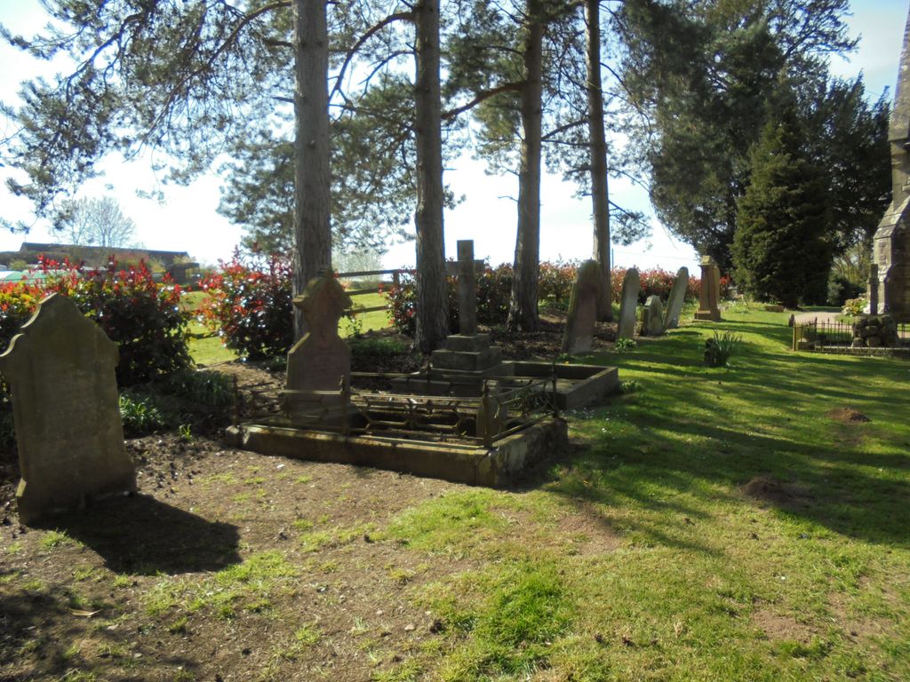
| Memorials | : | 0 |
| Location | : | Glazeley, Shropshire Unitary Authority, England |
| Coordinate | : | 52.4913000, -2.4385000 |
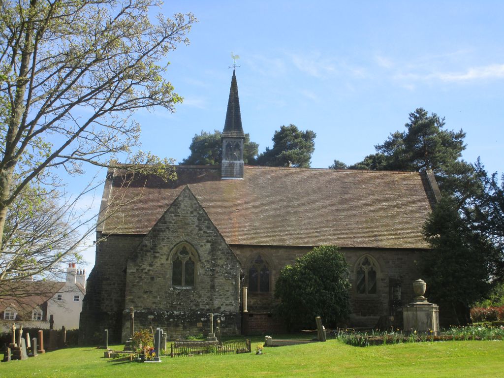
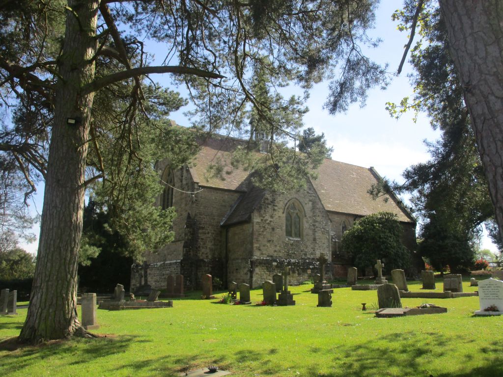
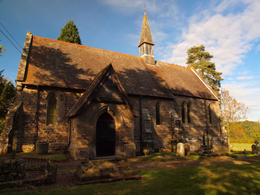
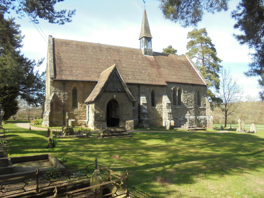
| Description | : | ====================================== St. Bartholomew's, Glazeley was built in 1875 to a design by A. W. Bloomfield. It was the latest in a series of churches on the site since Saxon times. The living had long been held jointly with Deuxhill and by the start of the 20th Century it was also joined to Chetton. The register of Deuxhill and Glazeley. Deuxhill and Glazeley Registers. The Parishes of Deuxhill and Glazeley were united at an early date, when they were combined is not known, certainly as early as 1535, and perhaps much earlier. They are in the Hundred of Stottesdon, Rural Deanery... Read More |
frequently asked questions (FAQ):
-
Where is St Bartholomew Churchyard?
St Bartholomew Churchyard is located at B 4363, Glazely, Shropshire, WV16 6AB Glazeley, Shropshire Unitary Authority ,Shropshire , WV 16 6 ABEngland.
-
St Bartholomew Churchyard cemetery's updated grave count on graveviews.com?
0 memorials
-
Where are the coordinates of the St Bartholomew Churchyard?
Latitude: 52.4913000
Longitude: -2.4385000
Nearby Cemetories:
1. Saint Peter's Church
Chelmarsh, Shropshire Unitary Authority, England
Coordinate: 52.4878300, -2.4129890
2. St. Giles Churchyard
Chetton, Shropshire Unitary Authority, England
Coordinate: 52.5101600, -2.4966300
3. St Mary Magdelena Churchyard
Bridgnorth, Shropshire Unitary Authority, England
Coordinate: 52.5325220, -2.4187470
4. Chorley Chapel Burial Ground
Chorley, Shropshire Unitary Authority, England
Coordinate: 52.4463570, -2.4409710
5. St Leonard Churchyard
Bridgnorth, Shropshire Unitary Authority, England
Coordinate: 52.5371970, -2.4187683
6. Bridgnorth Cemetery
Bridgnorth, Shropshire Unitary Authority, England
Coordinate: 52.5387350, -2.4078250
7. St. Mary's Churchyard
Highley, Shropshire Unitary Authority, England
Coordinate: 52.4465100, -2.3818640
8. Saint Mary the Virgin Churchyard
Alveley, Shropshire Unitary Authority, England
Coordinate: 52.4581590, -2.3553520
9. St. John the Baptist Churchyard
Kinlet, Shropshire Unitary Authority, England
Coordinate: 52.4265270, -2.4270270
10. St. Calixtus Churchyard
Astley Abbotts, Shropshire Unitary Authority, England
Coordinate: 52.5631160, -2.4312720
11. St. Peter and St. Paul Churchyard
Cleobury North, Shropshire Unitary Authority, England
Coordinate: 52.4796420, -2.5562440
12. St. Michael's Churchyard
Aston Botterell, Shropshire Unitary Authority, England
Coordinate: 52.4537240, -2.5422030
13. St Laurence Churchyard
Burwarton, Shropshire Unitary Authority, England
Coordinate: 52.4611160, -2.5637380
14. St. John The Baptist Churchyard
Ditton Priors, Shropshire Unitary Authority, England
Coordinate: 52.4990090, -2.5784720
15. St. Peter's Churchyard
Upper Arley, Wyre Forest District, England
Coordinate: 52.4215560, -2.3486760
16. St. Giles' Churchyard
Farlow, Shropshire Unitary Authority, England
Coordinate: 52.4222750, -2.5316310
17. Holy Innocents Churchyard
Alveley, Shropshire Unitary Authority, England
Coordinate: 52.4932817, -2.2902335
18. St. Mary's Churchyard
Acton Round, Shropshire Unitary Authority, England
Coordinate: 52.5573080, -2.5406470
19. All Saints Churchyard
Claverley, Shropshire Unitary Authority, England
Coordinate: 52.5382800, -2.3069010
20. Neen Savage
Cleobury Mortimer, Shropshire Unitary Authority, England
Coordinate: 52.3930000, -2.4799400
21. Blackford Chapel Burial Ground
Blackford, Shropshire Unitary Authority, England
Coordinate: 52.4437470, -2.5930900
22. St. Giles Church Cemetery
Barrow, Shropshire Unitary Authority, England
Coordinate: 52.5969300, -2.5065700
23. Holy Trinity Churchyard
Trimpley, Wyre Forest District, England
Coordinate: 52.4068300, -2.3111690
24. St Mary the Virgin
Cleobury Mortimer, Shropshire Unitary Authority, England
Coordinate: 52.3792280, -2.4803610