
| Memorials | : | 4 |
| Location | : | Chelmarsh, Shropshire Unitary Authority, England |
| Coordinate | : | 52.4878300, -2.4129890 |
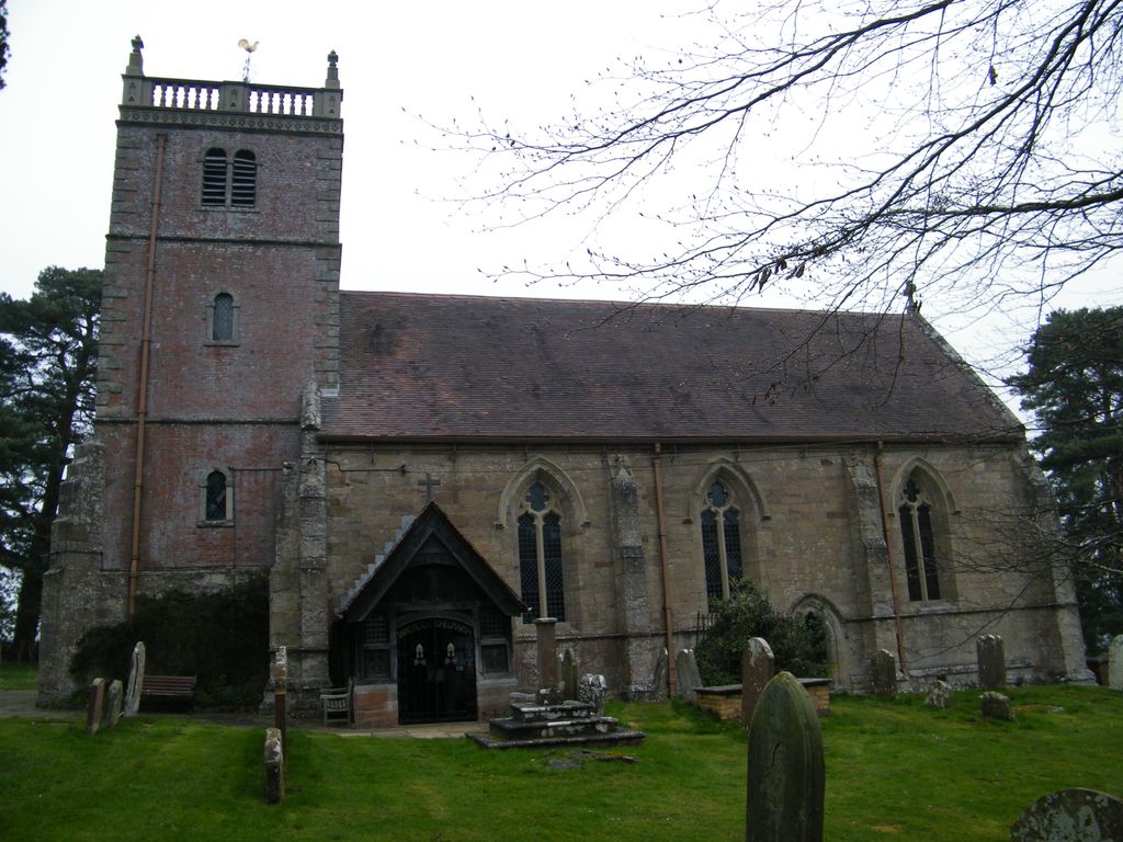
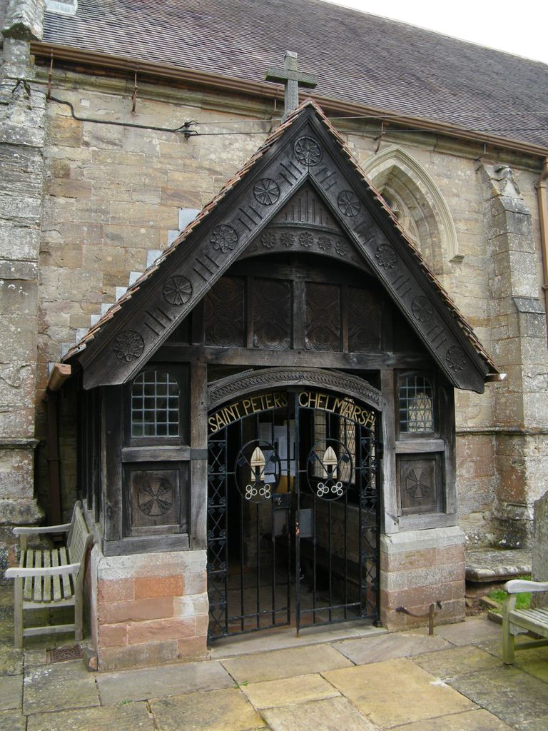
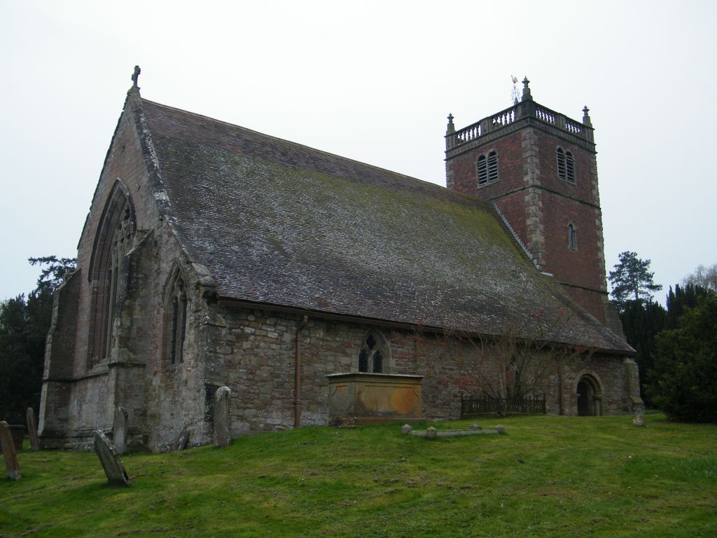
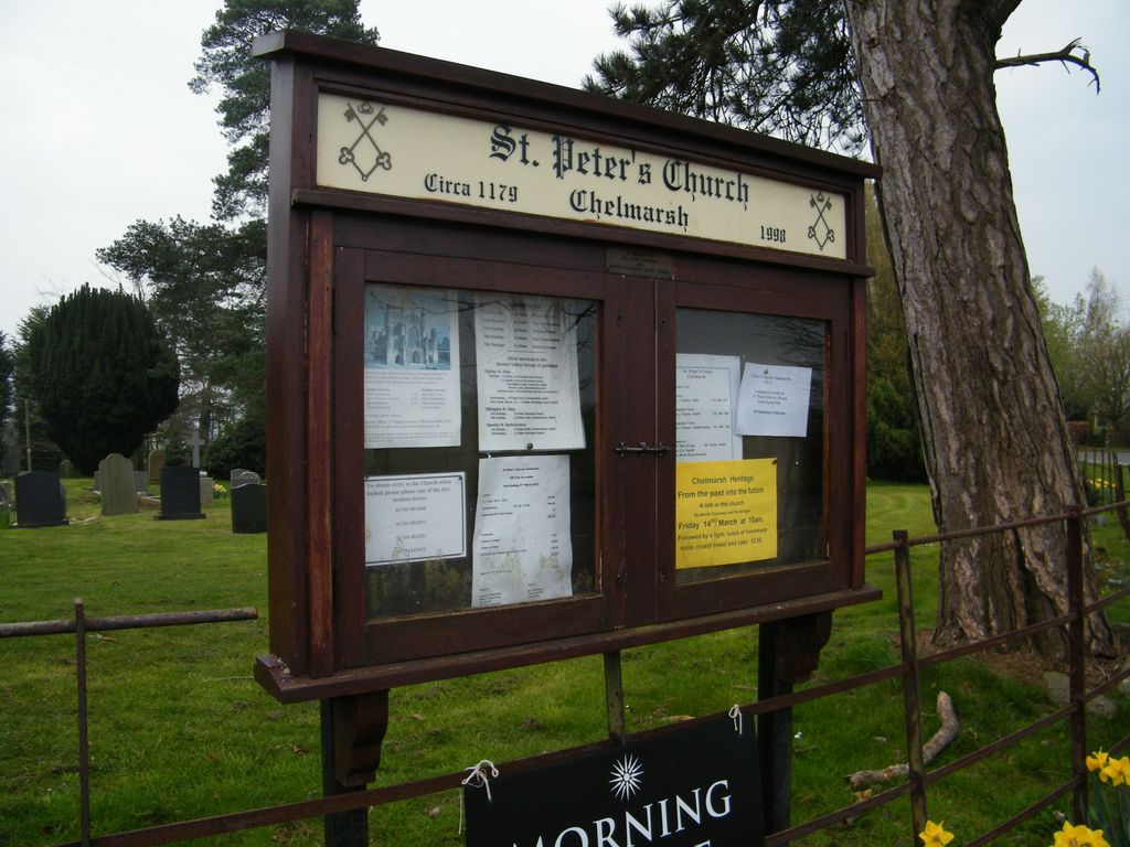
| Description | : | St Peter's Church, Chelmarsh, is located in the village of Chelmarsh, Shropshire, England. It is an active Anglican parish church in the deanery of Bridgnorth, the archdeaconry of Ludlow, and the diocese of Hereford. |
frequently asked questions (FAQ):
-
Where is Saint Peter's Church?
Saint Peter's Church is located at Chelmarsh, Shropshire Unitary Authority ,Shropshire ,England.
-
Saint Peter's Church cemetery's updated grave count on graveviews.com?
4 memorials
-
Where are the coordinates of the Saint Peter's Church?
Latitude: 52.4878300
Longitude: -2.4129890
Nearby Cemetories:
1. St Bartholomew Churchyard
Glazeley, Shropshire Unitary Authority, England
Coordinate: 52.4913000, -2.4385000
2. St Mary Magdelena Churchyard
Bridgnorth, Shropshire Unitary Authority, England
Coordinate: 52.5325220, -2.4187470
3. Chorley Chapel Burial Ground
Chorley, Shropshire Unitary Authority, England
Coordinate: 52.4463570, -2.4409710
4. St. Mary's Churchyard
Highley, Shropshire Unitary Authority, England
Coordinate: 52.4465100, -2.3818640
5. Saint Mary the Virgin Churchyard
Alveley, Shropshire Unitary Authority, England
Coordinate: 52.4581590, -2.3553520
6. St Leonard Churchyard
Bridgnorth, Shropshire Unitary Authority, England
Coordinate: 52.5371970, -2.4187683
7. Bridgnorth Cemetery
Bridgnorth, Shropshire Unitary Authority, England
Coordinate: 52.5387350, -2.4078250
8. St. Giles Churchyard
Chetton, Shropshire Unitary Authority, England
Coordinate: 52.5101600, -2.4966300
9. St. John the Baptist Churchyard
Kinlet, Shropshire Unitary Authority, England
Coordinate: 52.4265270, -2.4270270
10. Holy Innocents Churchyard
Alveley, Shropshire Unitary Authority, England
Coordinate: 52.4932817, -2.2902335
11. St. Calixtus Churchyard
Astley Abbotts, Shropshire Unitary Authority, England
Coordinate: 52.5631160, -2.4312720
12. St. Peter's Churchyard
Upper Arley, Wyre Forest District, England
Coordinate: 52.4215560, -2.3486760
13. All Saints Churchyard
Claverley, Shropshire Unitary Authority, England
Coordinate: 52.5382800, -2.3069010
14. St. Michael's Churchyard
Aston Botterell, Shropshire Unitary Authority, England
Coordinate: 52.4537240, -2.5422030
15. St. Peter and St. Paul Churchyard
Cleobury North, Shropshire Unitary Authority, England
Coordinate: 52.4796420, -2.5562440
16. St Laurence Churchyard
Burwarton, Shropshire Unitary Authority, England
Coordinate: 52.4611160, -2.5637380
17. St. Giles' Churchyard
Farlow, Shropshire Unitary Authority, England
Coordinate: 52.4222750, -2.5316310
18. St. John The Baptist Churchyard
Ditton Priors, Shropshire Unitary Authority, England
Coordinate: 52.4990090, -2.5784720
19. Holy Trinity Churchyard
Trimpley, Wyre Forest District, England
Coordinate: 52.4068300, -2.3111690
20. Holy Cross Churchyard
Bobbington, South Staffordshire Borough, England
Coordinate: 52.5011697, -2.2450663
21. Neen Savage
Cleobury Mortimer, Shropshire Unitary Authority, England
Coordinate: 52.3930000, -2.4799400
22. St. Mary's Churchyard
Acton Round, Shropshire Unitary Authority, England
Coordinate: 52.5573080, -2.5406470
23. St. Giles Churchyard
Badger, Shropshire Unitary Authority, England
Coordinate: 52.5936507, -2.3438993
24. Holy Trinity Churchyard
Far Forest, Wyre Forest District, England
Coordinate: 52.3730700, -2.4004200