
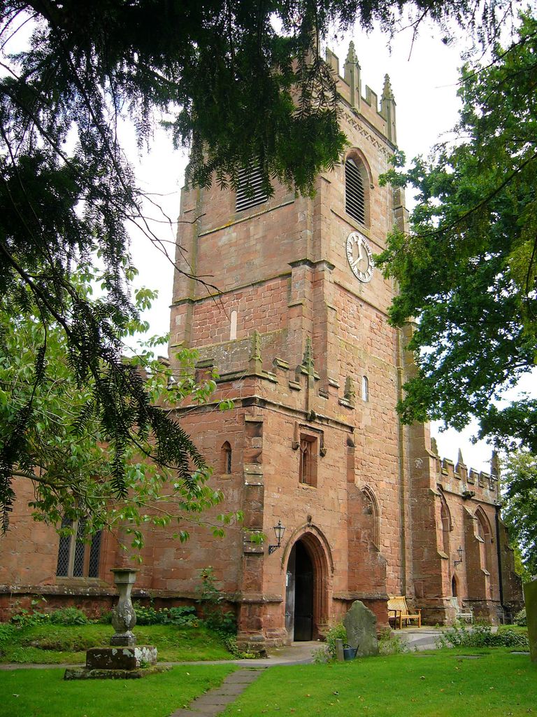
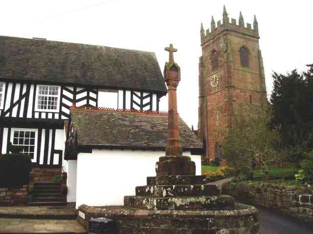
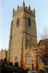
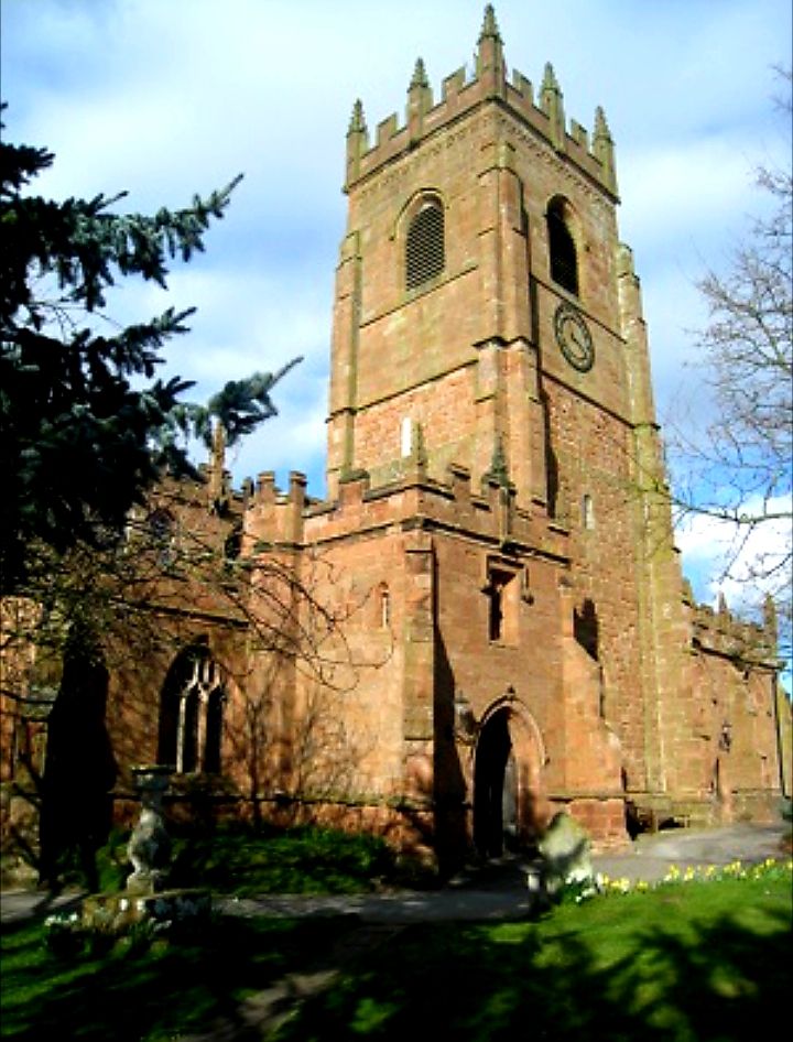
| Memorials | : | 0 |
| Location | : | Claverley, Shropshire Unitary Authority, England |
| Coordinate | : | 52.5382800, -2.3069010 |
frequently asked questions (FAQ):
-
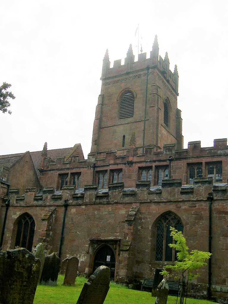
Where is All Saints Churchyard?
All Saints Churchyard is located at Claverley, Shropshire Unitary Authority ,Shropshire ,England.
-
All Saints Churchyard cemetery's updated grave count on graveviews.com?
0 memorials
-
Where are the coordinates of the All Saints Churchyard?
Latitude: 52.5382800
Longitude: -2.3069010
Nearby Cemetories:
1. Holy Innocents Churchyard
Alveley, Shropshire Unitary Authority, England
Coordinate: 52.4932817, -2.2902335
2. Holy Cross Churchyard
Bobbington, South Staffordshire Borough, England
Coordinate: 52.5011697, -2.2450663
3. St Chad Churchyard
Pattingham, South Staffordshire Borough, England
Coordinate: 52.5897150, -2.2656570
4. St. Giles Churchyard
Badger, Shropshire Unitary Authority, England
Coordinate: 52.5936507, -2.3438993
5. Bridgnorth Cemetery
Bridgnorth, Shropshire Unitary Authority, England
Coordinate: 52.5387350, -2.4078250
6. St Mary Patshull Burnhill Green
Pattingham, South Staffordshire Borough, England
Coordinate: 52.6056540, -2.2916790
7. St Leonard Churchyard
Bridgnorth, Shropshire Unitary Authority, England
Coordinate: 52.5371970, -2.4187683
8. St Mary Magdelena Churchyard
Bridgnorth, Shropshire Unitary Authority, England
Coordinate: 52.5325220, -2.4187470
9. Sytch Lane Cemetery
Wombourne, South Staffordshire Borough, England
Coordinate: 52.5261590, -2.1892040
10. St Benedict Biscop Churchyard
Wombourne, South Staffordshire Borough, England
Coordinate: 52.5361394, -2.1834008
11. St Milburga's Churchyard
Beckbury, Shropshire Unitary Authority, England
Coordinate: 52.6113140, -2.3481180
12. St. Calixtus Churchyard
Astley Abbotts, Shropshire Unitary Authority, England
Coordinate: 52.5631160, -2.4312720
13. Saint Peter's Church
Chelmarsh, Shropshire Unitary Authority, England
Coordinate: 52.4878300, -2.4129890
14. Earl of Dudley's Memory Garden
Himley, South Staffordshire Borough, England
Coordinate: 52.5177000, -2.1739000
15. St. Michael & All Angels Churchyard
Himley, South Staffordshire Borough, England
Coordinate: 52.5177560, -2.1738320
16. St. Chad
Boningale, Shropshire Unitary Authority, England
Coordinate: 52.6208330, -2.2795110
17. Saint Mary the Virgin Churchyard
Alveley, Shropshire Unitary Authority, England
Coordinate: 52.4581590, -2.3553520
18. Penn Cemetery
Penn, Metropolitan Borough of Wolverhampton, England
Coordinate: 52.5563850, -2.1641210
19. Christ Church
Tettenhall Wood, Metropolitan Borough of Wolverhampton, England
Coordinate: 52.5895828, -2.1805506
20. St Bartholomew Churchyard
Penn, Metropolitan Borough of Wolverhampton, England
Coordinate: 52.5554900, -2.1569250
21. St Bartholomew Churchyard
Glazeley, Shropshire Unitary Authority, England
Coordinate: 52.4913000, -2.4385000
22. St. Philip Churchyard Penn Fields
Penn, Metropolitan Borough of Wolverhampton, England
Coordinate: 52.5703200, -2.1552400
23. St Mary Churchyard
Kingswinford, Metropolitan Borough of Dudley, England
Coordinate: 52.5015430, -2.1581310
24. St Mary Magdalene Churchyard
Albrighton, Shropshire Unitary Authority, England
Coordinate: 52.6373060, -2.2831290