
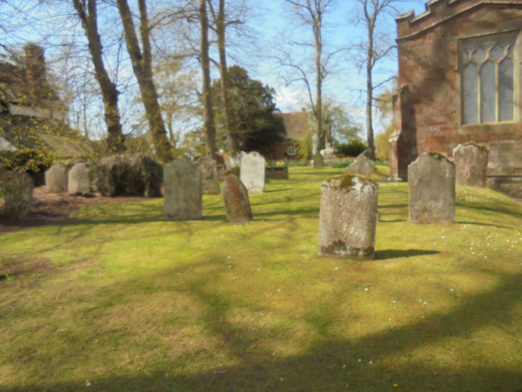
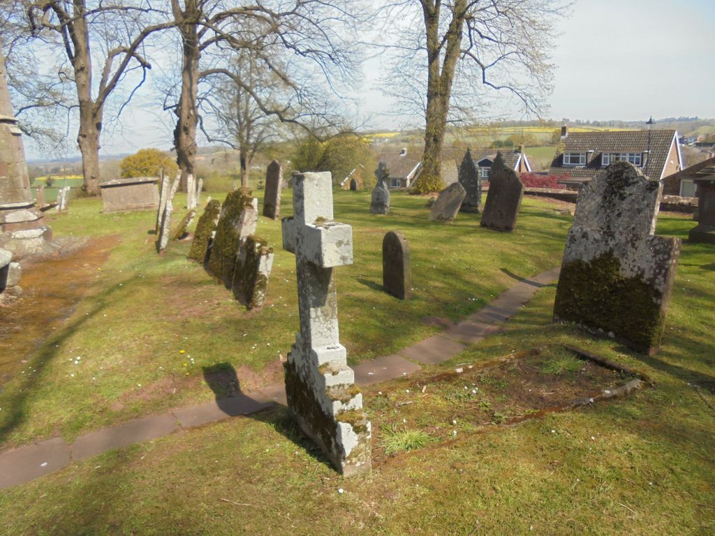
| Memorials | : | 0 |
| Location | : | Alveley, Shropshire Unitary Authority, England |
| Coordinate | : | 52.4581590, -2.3553520 |
frequently asked questions (FAQ):
-
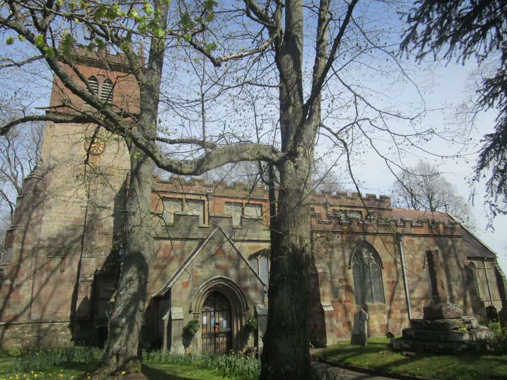
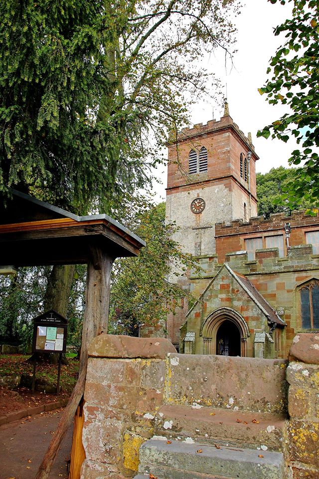
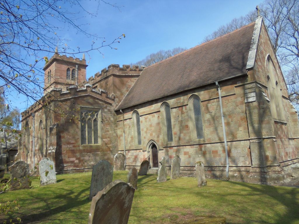
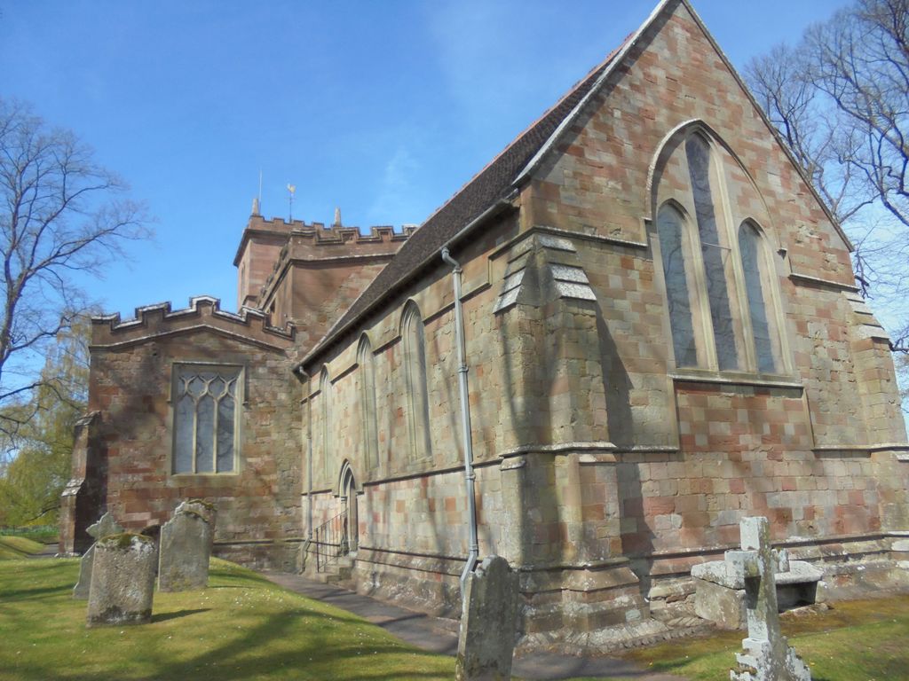
Where is Saint Mary the Virgin Churchyard?
Saint Mary the Virgin Churchyard is located at Alveley, Shropshire Unitary Authority ,Shropshire ,England.
-
Saint Mary the Virgin Churchyard cemetery's updated grave count on graveviews.com?
0 memorials
-
Where are the coordinates of the Saint Mary the Virgin Churchyard?
Latitude: 52.4581590
Longitude: -2.3553520
Nearby Cemetories:
1. St. Mary's Churchyard
Highley, Shropshire Unitary Authority, England
Coordinate: 52.4465100, -2.3818640
2. St. Peter's Churchyard
Upper Arley, Wyre Forest District, England
Coordinate: 52.4215560, -2.3486760
3. Saint Peter's Church
Chelmarsh, Shropshire Unitary Authority, England
Coordinate: 52.4878300, -2.4129890
4. Holy Innocents Churchyard
Alveley, Shropshire Unitary Authority, England
Coordinate: 52.4932817, -2.2902335
5. Chorley Chapel Burial Ground
Chorley, Shropshire Unitary Authority, England
Coordinate: 52.4463570, -2.4409710
6. St. John the Baptist Churchyard
Kinlet, Shropshire Unitary Authority, England
Coordinate: 52.4265270, -2.4270270
7. Holy Trinity Churchyard
Trimpley, Wyre Forest District, England
Coordinate: 52.4068300, -2.3111690
8. St Bartholomew Churchyard
Glazeley, Shropshire Unitary Authority, England
Coordinate: 52.4913000, -2.4385000
9. St Andrews Churchyard
Bewdley, Wyre Forest District, England
Coordinate: 52.3851154, -2.3254050
10. St John the Baptist Churchyard
Wolverley, Wyre Forest District, England
Coordinate: 52.4115868, -2.2533950
11. Holy Cross Churchyard
Bobbington, South Staffordshire Borough, England
Coordinate: 52.5011697, -2.2450663
12. St Mary Magdelena Churchyard
Bridgnorth, Shropshire Unitary Authority, England
Coordinate: 52.5325220, -2.4187470
13. St. Peter's Churchyard
Cookley, Wyre Forest District, England
Coordinate: 52.4193280, -2.2334370
14. All Saints Churchyard
Bewdley, Wyre Forest District, England
Coordinate: 52.3785910, -2.3056640
15. All Saints Churchyard
Claverley, Shropshire Unitary Authority, England
Coordinate: 52.5382800, -2.3069010
16. Bridgnorth Cemetery
Bridgnorth, Shropshire Unitary Authority, England
Coordinate: 52.5387350, -2.4078250
17. St Leonard Churchyard
Bridgnorth, Shropshire Unitary Authority, England
Coordinate: 52.5371970, -2.4187683
18. Holy Trinity Churchyard
Far Forest, Wyre Forest District, England
Coordinate: 52.3730700, -2.4004200
19. Holy Trinity Churchyard
Kidderminster, Wyre Forest District, England
Coordinate: 52.3727940, -2.3999840
20. St John the Baptist Churchyard
Kidderminster, Wyre Forest District, England
Coordinate: 52.3870500, -2.2612100
21. St. Mary and All Saints Churchyard
Kidderminster, Wyre Forest District, England
Coordinate: 52.3902820, -2.2510700
22. St George Churchyard
Kidderminster, Wyre Forest District, England
Coordinate: 52.3903090, -2.2425290
23. St Leonard's Churchyard
Ribbesford, Wyre Forest District, England
Coordinate: 52.3640200, -2.3147800
24. Kidderminster Cemetery
Kidderminster, Wyre Forest District, England
Coordinate: 52.3838330, -2.2521340