
| Memorials | : | 64 |
| Location | : | Scotts Hill, Decatur County, USA |
| Coordinate | : | 35.4466050, -88.2146570 |
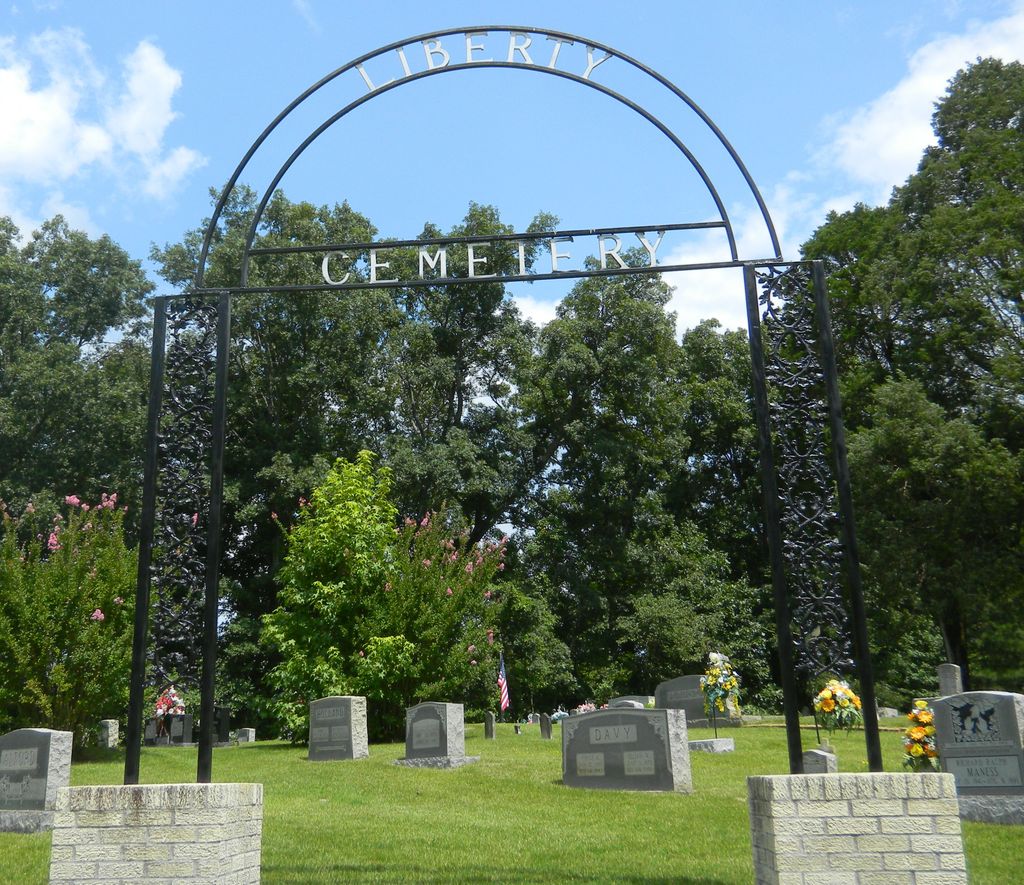
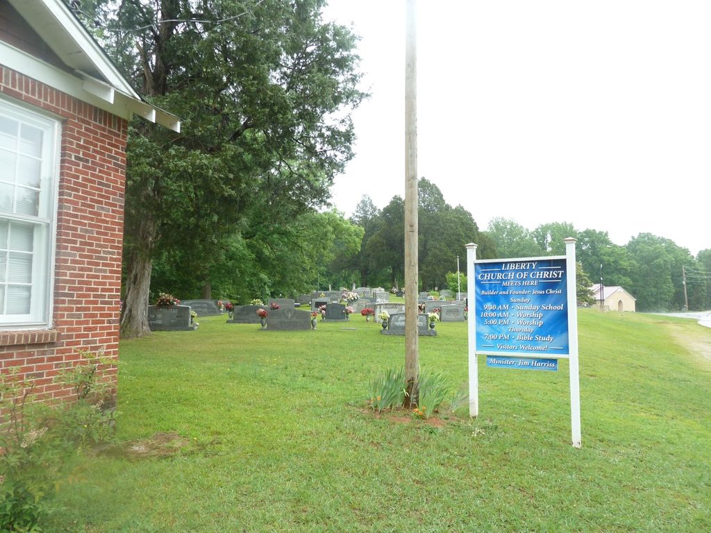
| Description | : | This cemetery is located on Liberty Road in the Liberty Community, besides the Liberty Church of Christ & south of Scotts Hill. The core of the cemetery is very old and the cemetery is nearly full. There are probably over 125 graves either unmarked or marked with plain concrete slabs. David Donahue recorded this cemetery in 1995 and checked and updated it in 2002. The cemetery was recorded by Scott and Tuten in 1976. |
frequently asked questions (FAQ):
-
Where is Liberty Church Cemetery?
Liberty Church Cemetery is located at Liberty Road Scotts Hill, Decatur County ,Tennessee ,USA.
-
Liberty Church Cemetery cemetery's updated grave count on graveviews.com?
63 memorials
-
Where are the coordinates of the Liberty Church Cemetery?
Latitude: 35.4466050
Longitude: -88.2146570
Nearby Cemetories:
1. Patterson Cemetery
Lick Skillet, Decatur County, USA
Coordinate: 35.4383800, -88.1979020
2. Lowery-Doe Creek Cemetery
Decatur County, USA
Coordinate: 35.4483120, -88.2468900
3. Corinth Church Cemetery
Decatur County, USA
Coordinate: 35.4126020, -88.2056180
4. Doe Creek Cemetery
Scotts Hill, Henderson County, USA
Coordinate: 35.4692990, -88.2474350
5. Murphy Cemetery
Lick Skillet, Decatur County, USA
Coordinate: 35.4806930, -88.1983720
6. Red Walnut Church Cemetery
Lick Skillet, Decatur County, USA
Coordinate: 35.4700840, -88.1787990
7. Prospect Church Cemetery
Sardis, Henderson County, USA
Coordinate: 35.4584950, -88.2683120
8. Gardner - Wylie Cemetery
Bath Springs, Decatur County, USA
Coordinate: 35.4370190, -88.1558690
9. Bethel Cemetery
Scotts Hill, Decatur County, USA
Coordinate: 35.4963690, -88.2320790
10. Cedar Grove Cemetery
Henderson County, USA
Coordinate: 35.4799600, -88.2678900
11. Sardis Cemetery
Sardis, Henderson County, USA
Coordinate: 35.4366020, -88.2833100
12. Cedar Grove Pentecostal Cemetery
Sardis, Henderson County, USA
Coordinate: 35.4829530, -88.2698440
13. Shannon Cemetery
Decatur County, USA
Coordinate: 35.3916230, -88.1832190
14. Scotts Hill Pentecostal Church Cemetery
Scotts Hill, Decatur County, USA
Coordinate: 35.5065610, -88.2336080
15. Fellowship Church Cemetery
Scotts Hill, Henderson County, USA
Coordinate: 35.4965940, -88.2602540
16. Lafferty Cemetery
Bath Springs, Decatur County, USA
Coordinate: 35.4673620, -88.1414970
17. Decatur County Farm Cemetery
Scotts Hill, Decatur County, USA
Coordinate: 35.5078697, -88.1940994
18. Pleasant Hill Church Cemetery
Bath Springs, Decatur County, USA
Coordinate: 35.4839610, -88.1511390
19. Montgomery Family Cemetery
Pleasant Hill, Decatur County, USA
Coordinate: 35.4833090, -88.1495630
20. Kelley Cemetery
Bath Springs, Decatur County, USA
Coordinate: 35.4037640, -88.1532630
21. Granny Austin Cemetery
Scotts Hill, Henderson County, USA
Coordinate: 35.4949850, -88.2734300
22. Butler Cemetery
Bath Springs, Decatur County, USA
Coordinate: 35.4525690, -88.1296430
23. Martin Family Cemetery
Decaturville, Decatur County, USA
Coordinate: 35.5139160, -88.1882440
24. Crawford Cemetery
Scotts Hill, Decatur County, USA
Coordinate: 35.5141550, -88.1882830