
| Memorials | : | 0 |
| Location | : | Benton County, USA |
| Coordinate | : | 35.9030991, -87.9944000 |
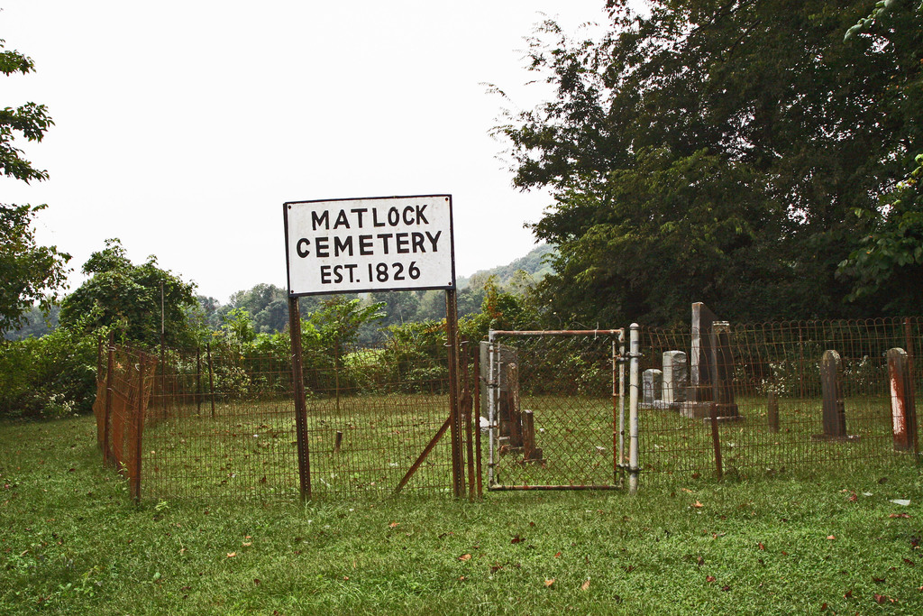
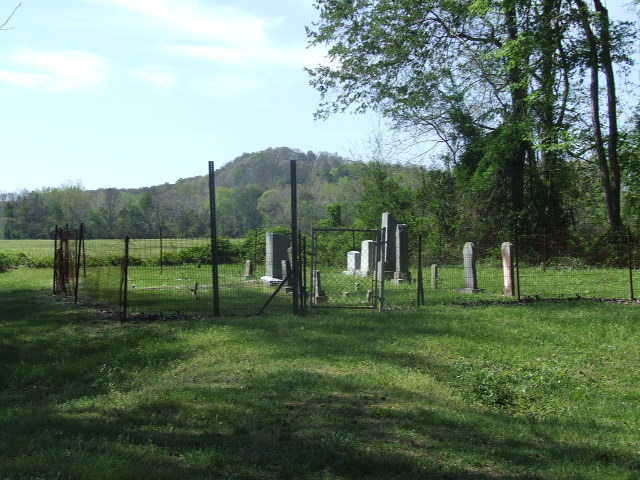
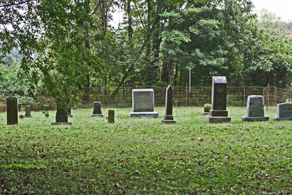
| Description | : | The Matlock Cemetery is located on Birdsong Road ( TN 191) about 100 feet South of the Eagle Creek Bridge. The cemetery is well cared for and fenced with a new metal sign. The stones of Caswell and Mary Matlock have been repaired and located inside the fenced area. The 1826 Caswell Matlock stone is the oldest marked grave in Benton County buried here when still a part of Humphreys County. |
frequently asked questions (FAQ):
-
Where is Matlock Cemetery?
Matlock Cemetery is located at on Birdsong Hwy (TN 191) Benton County ,Tennessee ,USA.
-
Matlock Cemetery cemetery's updated grave count on graveviews.com?
0 memorials
-
Where are the coordinates of the Matlock Cemetery?
Latitude: 35.9030991
Longitude: -87.9944000
Nearby Cemetories:
1. Dry Branch Cemetery
Holladay, Benton County, USA
Coordinate: 35.8985190, -87.9915550
2. Eagle Creek Church Cemetery
Rockport, Benton County, USA
Coordinate: 35.9163200, -87.9833700
3. Malin Cemetery
Holladay, Benton County, USA
Coordinate: 35.8955430, -88.0161442
4. Wilbanks Cemetery
Holladay, Benton County, USA
Coordinate: 35.8831960, -87.9942490
5. Peebles Sims Cemetery
Benton County, USA
Coordinate: 35.9236650, -88.0101830
6. Fry Cemetery
Holladay, Benton County, USA
Coordinate: 35.8966530, -88.0252880
7. DePriest Cemetery
Benton County, USA
Coordinate: 35.9219017, -87.9713974
8. Capps Cemetery
Holladay, Benton County, USA
Coordinate: 35.8997002, -88.0444031
9. Pavatt-Whitfield Cemetery
Holladay, Benton County, USA
Coordinate: 35.9260620, -87.9387750
10. Byrd Cemetery
Holladay, Benton County, USA
Coordinate: 35.9346950, -87.9382920
11. Hamm Cemetery
Buffalo, Humphreys County, USA
Coordinate: 35.8816986, -87.9274979
12. Baker McAuley Cemetery
Benton County, USA
Coordinate: 35.9556007, -88.0274963
13. Manley Chapel Cemetery
McIllwain, Benton County, USA
Coordinate: 35.8690750, -88.0543250
14. Moore's Chapel Cemetery
McIllwain, Benton County, USA
Coordinate: 35.8690750, -88.0543250
15. Luper Cemetery
Holladay, Benton County, USA
Coordinate: 35.9522370, -88.0372720
16. Friendship Church Cemetery
McIllwain, Benton County, USA
Coordinate: 35.8682710, -88.0551560
17. Arrington Cemetery
Humphreys County, USA
Coordinate: 35.9082985, -87.9188995
18. Cox Family Cemetery
Holladay, Benton County, USA
Coordinate: 35.8888100, -88.0700310
19. Davis Cemetery
Birdsong Heights, Benton County, USA
Coordinate: 35.9578780, -88.0381140
20. Morgan Creek Primitive Baptist Cemetery
Holladay, Benton County, USA
Coordinate: 35.8409840, -88.0211680
21. Tippitt Cemetery
Benton County, USA
Coordinate: 35.8877983, -88.0736008
22. Ezekiel Tippitt Cemetery
Holladay, Benton County, USA
Coordinate: 35.8875750, -88.0739270
23. Arthur Hatley Cemetery
Rockport, Benton County, USA
Coordinate: 35.9358430, -88.0661280
24. Hatley Cemetery
Mount Moriah, Benton County, USA
Coordinate: 35.9358430, -88.0661280