
| Memorials | : | 23 |
| Location | : | Eaton, Gibson County, USA |
| Coordinate | : | 35.9910230, -89.1678300 |
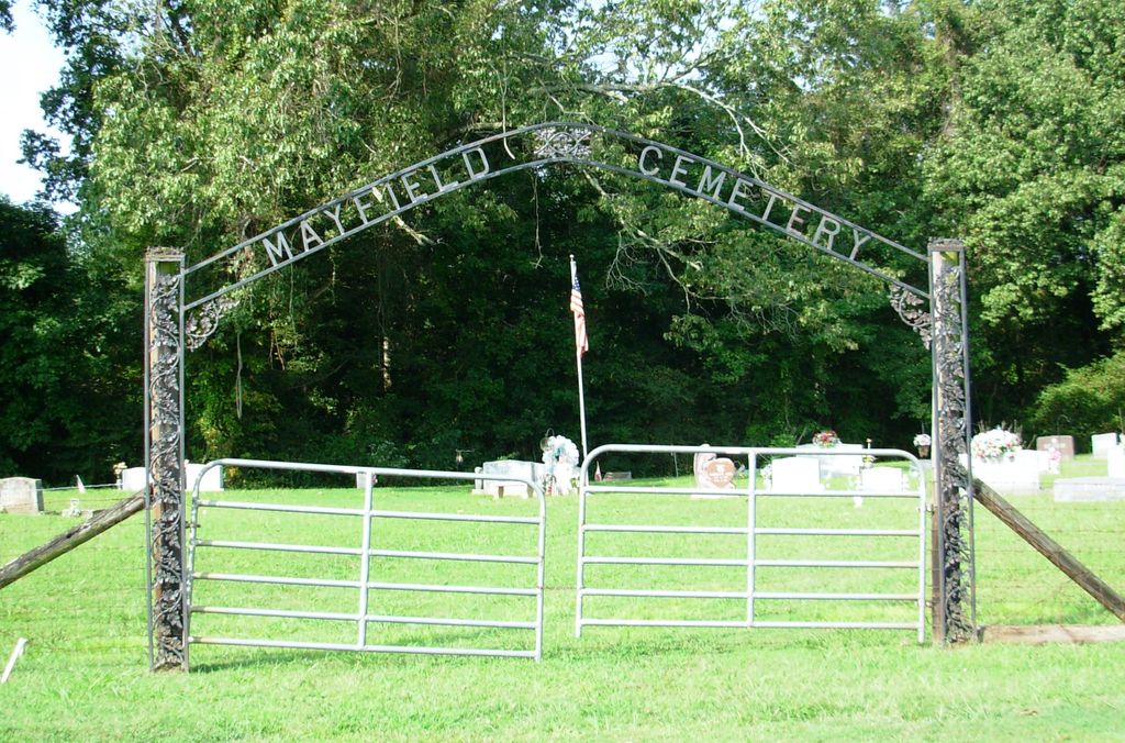
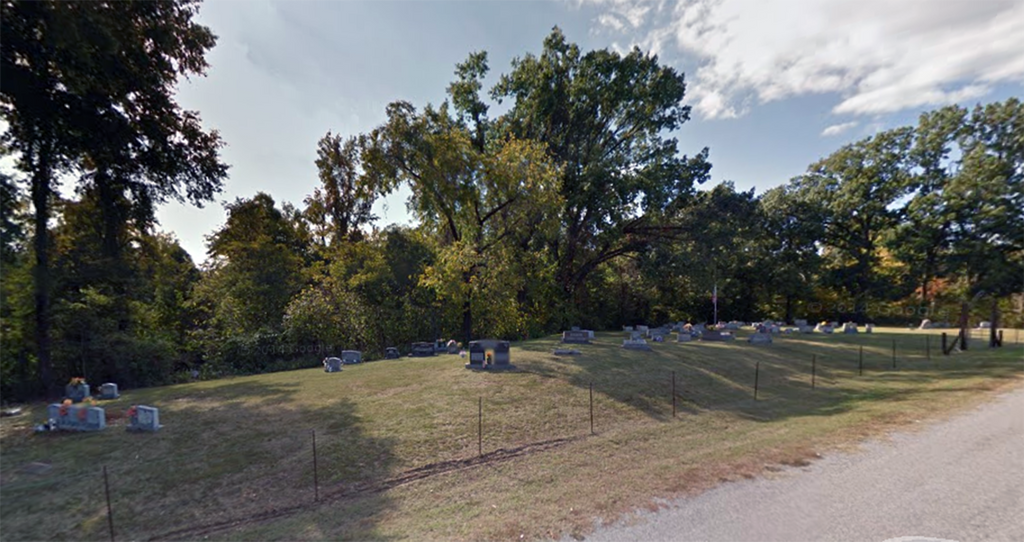
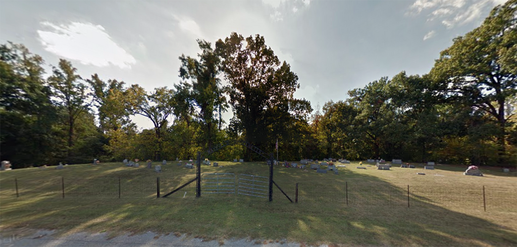
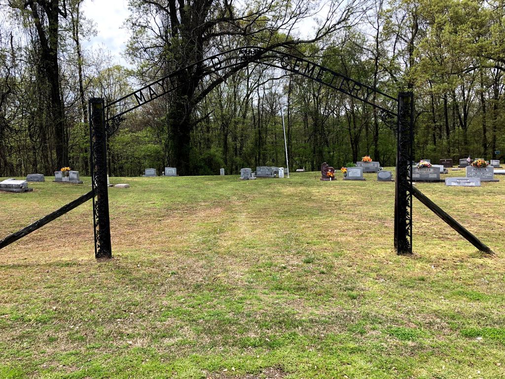
| Description | : | From Eaton, head north on TN-188 for 0.4 mi., turning west (left) onto Bluff Rd., going 2.5 mi. to the Mayfield Cemetery on the southwest (left) side of the road, 0.1 mi. north of the "Old Mayfield Cem." This cemetery is well maintained, surrounded with a fence & has the name on an arch at the entrance. Earliest burials are in the early 1900's |
frequently asked questions (FAQ):
-
Where is Mayfield Cemetery?
Mayfield Cemetery is located at 266 Bluff Road Eaton, Gibson County ,Tennessee ,USA.
-
Mayfield Cemetery cemetery's updated grave count on graveviews.com?
23 memorials
-
Where are the coordinates of the Mayfield Cemetery?
Latitude: 35.9910230
Longitude: -89.1678300
Nearby Cemetories:
1. Old Mayfield Cemetery
Eaton, Gibson County, USA
Coordinate: 35.9894960, -89.1666780
2. Young & Williams Cemetery
Elizabeth, Crockett County, USA
Coordinate: 35.9707990, -89.1937240
3. Elizabeth Methodist Church Cemetery
Elizabeth, Crockett County, USA
Coordinate: 35.9605010, -89.1770140
4. Spring Hill Baptist Church Cemetery
Eaton, Gibson County, USA
Coordinate: 35.9859520, -89.1221080
5. Springhill MB Church Cemetery
Eaton, Gibson County, USA
Coordinate: 35.9871860, -89.1210420
6. Shaw Cemetery
Tatumville, Dyer County, USA
Coordinate: 36.0435982, -89.1868973
7. Bethesda Cemetery
Wilcox, Crockett County, USA
Coordinate: 35.9361230, -89.1557970
8. Hendrix Cemetery
Tigrett, Dyer County, USA
Coordinate: 35.9511500, -89.2206950
9. Allen Chapel Cemetery
Tigrett, Dyer County, USA
Coordinate: 35.9511400, -89.2207500
10. Wilson Cemetery
Gibson County, USA
Coordinate: 35.9706001, -89.0980988
11. Mays Chapel Cemetery
Friendship, Crockett County, USA
Coordinate: 35.9363540, -89.2006050
12. Deaton Cemetery
Friendship, Crockett County, USA
Coordinate: 35.9350080, -89.2122640
13. Williams Chapel Baptist Church Cemetery
Friendship, Crockett County, USA
Coordinate: 35.9258940, -89.1916320
14. Edwards Cemetery
Friendship, Crockett County, USA
Coordinate: 35.9314120, -89.2146810
15. Concidine Gravesite
Gibson County, USA
Coordinate: 35.9930000, -89.0800000
16. McGary Family Cemetery
Tigrett, Dyer County, USA
Coordinate: 35.9649530, -89.2501520
17. Walnut Grove Cemetery
Trenton, Gibson County, USA
Coordinate: 35.9947014, -89.0764008
18. Saint Peter Cemetery
Tigrett, Dyer County, USA
Coordinate: 35.9616440, -89.2520140
19. Roberts Family Cemetery
Eaton, Gibson County, USA
Coordinate: 35.9882200, -89.0734100
20. Rogers Cemetery
RoEllen, Dyer County, USA
Coordinate: 36.0069000, -89.2618000
21. Rehoboth Cemetery
RoEllen, Dyer County, USA
Coordinate: 36.0300700, -89.2530700
22. Rehoboth Church Cemetery
RoEllen, Dyer County, USA
Coordinate: 36.0306720, -89.2527870
23. Hogue Cemetery
Yorkville, Gibson County, USA
Coordinate: 36.0495580, -89.0985780
24. Prichard Family Cemetery
RoEllen, Dyer County, USA
Coordinate: 36.0104400, -89.2651020