
| Memorials | : | 10 |
| Location | : | Eaton, Gibson County, USA |
| Coordinate | : | 35.9894960, -89.1666780 |
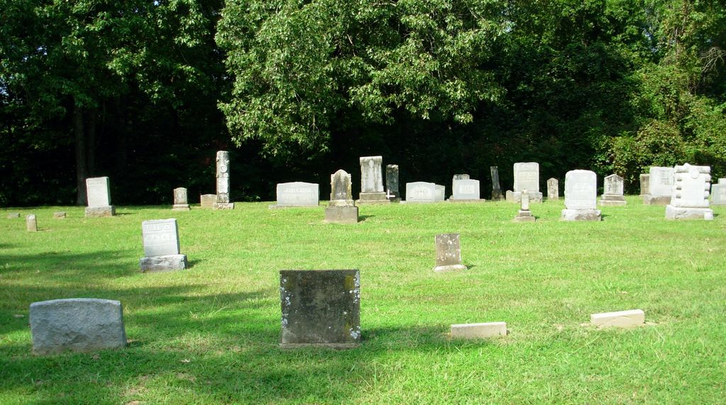
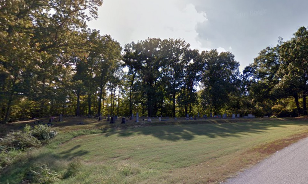
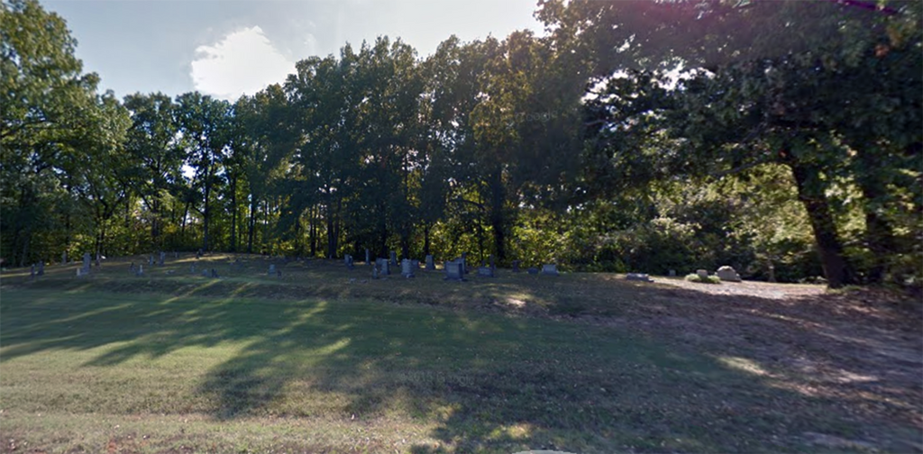
| Description | : | The Old Mayfield Cemetery was established by Green Mayfield about 1840 (earliest burial 1833). It is in western Gibson County, TN about 2.5 mile NE of Eaton on the old Bluff Rd., which runs along the east bluff of the Middle Fork of the Forked Deer River. This record was copied Jan 14, 1983 by Mr. & Mrs. C. C. James From Eaton, head north on TN-188 for 0.4 mi., turning west (left) onto Bluff Rd., going 2.4 mi. to the Old Mayfield Cemetery on the southwest (left) side of the road, 0.1 mi. south of the... Read More |
frequently asked questions (FAQ):
-
Where is Old Mayfield Cemetery?
Old Mayfield Cemetery is located at 255 Bluff Road Eaton, Gibson County ,Tennessee ,USA.
-
Old Mayfield Cemetery cemetery's updated grave count on graveviews.com?
10 memorials
-
Where are the coordinates of the Old Mayfield Cemetery?
Latitude: 35.9894960
Longitude: -89.1666780
Nearby Cemetories:
1. Mayfield Cemetery
Eaton, Gibson County, USA
Coordinate: 35.9910230, -89.1678300
2. Young & Williams Cemetery
Elizabeth, Crockett County, USA
Coordinate: 35.9707990, -89.1937240
3. Elizabeth Methodist Church Cemetery
Elizabeth, Crockett County, USA
Coordinate: 35.9605010, -89.1770140
4. Spring Hill Baptist Church Cemetery
Eaton, Gibson County, USA
Coordinate: 35.9859520, -89.1221080
5. Springhill MB Church Cemetery
Eaton, Gibson County, USA
Coordinate: 35.9871860, -89.1210420
6. Bethesda Cemetery
Wilcox, Crockett County, USA
Coordinate: 35.9361230, -89.1557970
7. Shaw Cemetery
Tatumville, Dyer County, USA
Coordinate: 36.0435982, -89.1868973
8. Hendrix Cemetery
Tigrett, Dyer County, USA
Coordinate: 35.9511500, -89.2206950
9. Allen Chapel Cemetery
Tigrett, Dyer County, USA
Coordinate: 35.9511400, -89.2207500
10. Wilson Cemetery
Gibson County, USA
Coordinate: 35.9706001, -89.0980988
11. Mays Chapel Cemetery
Friendship, Crockett County, USA
Coordinate: 35.9363540, -89.2006050
12. Deaton Cemetery
Friendship, Crockett County, USA
Coordinate: 35.9350080, -89.2122640
13. Williams Chapel Baptist Church Cemetery
Friendship, Crockett County, USA
Coordinate: 35.9258940, -89.1916320
14. Edwards Cemetery
Friendship, Crockett County, USA
Coordinate: 35.9314120, -89.2146810
15. Concidine Gravesite
Gibson County, USA
Coordinate: 35.9930000, -89.0800000
16. McGary Family Cemetery
Tigrett, Dyer County, USA
Coordinate: 35.9649530, -89.2501520
17. Walnut Grove Cemetery
Trenton, Gibson County, USA
Coordinate: 35.9947014, -89.0764008
18. Saint Peter Cemetery
Tigrett, Dyer County, USA
Coordinate: 35.9616440, -89.2520140
19. Roberts Family Cemetery
Eaton, Gibson County, USA
Coordinate: 35.9882200, -89.0734100
20. Rogers Cemetery
RoEllen, Dyer County, USA
Coordinate: 36.0069000, -89.2618000
21. Sanders Cemetery
Crockett Mills, Crockett County, USA
Coordinate: 35.9096750, -89.1609030
22. Salem Primitive Baptist Cemetery
Hickory Grove, Gibson County, USA
Coordinate: 35.9681400, -89.0709700
23. Bowen Chapel Cemetery
Friendship, Dyer County, USA
Coordinate: 35.9311810, -89.2353720
24. Rehoboth Cemetery
RoEllen, Dyer County, USA
Coordinate: 36.0300700, -89.2530700