
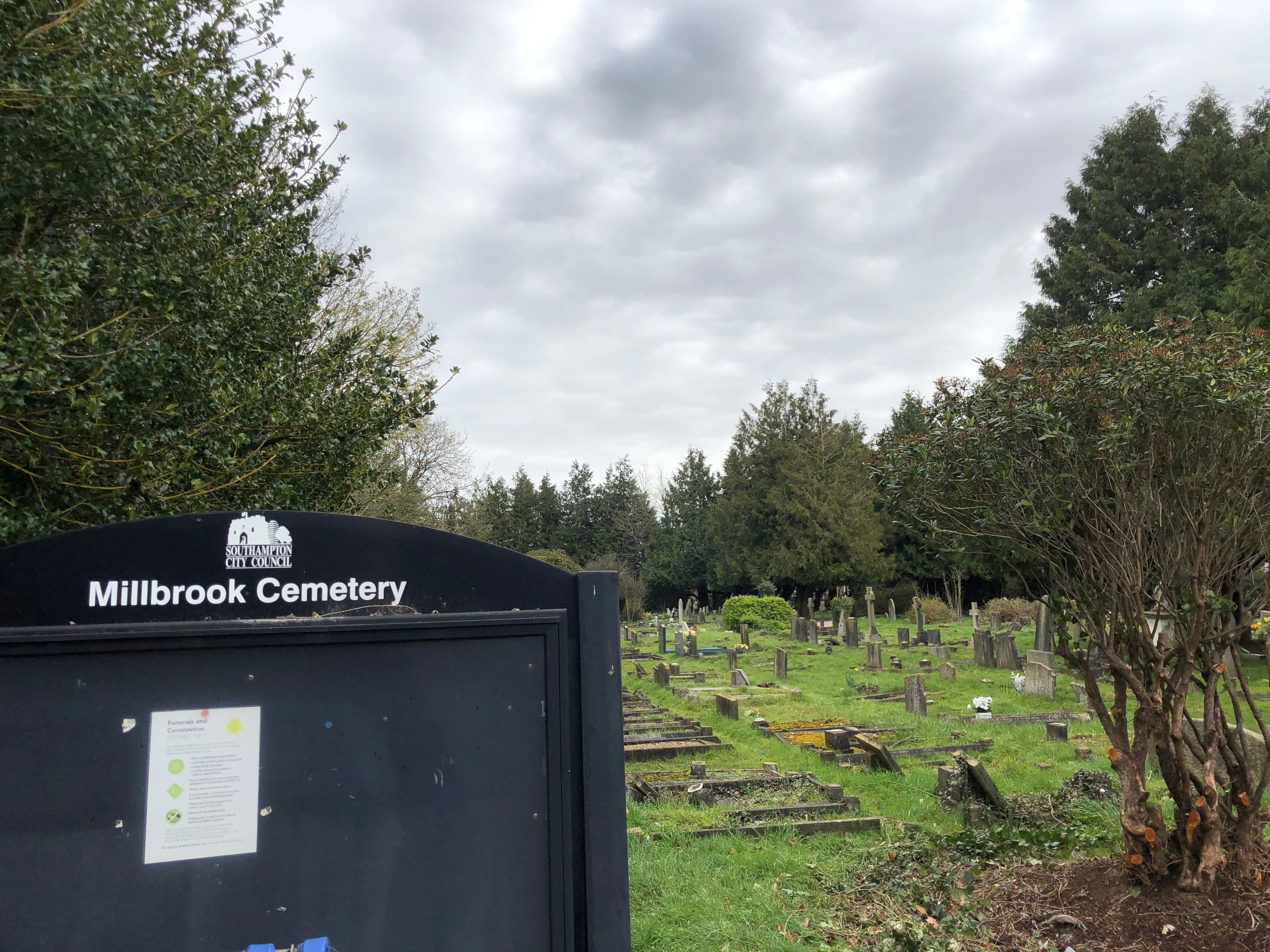
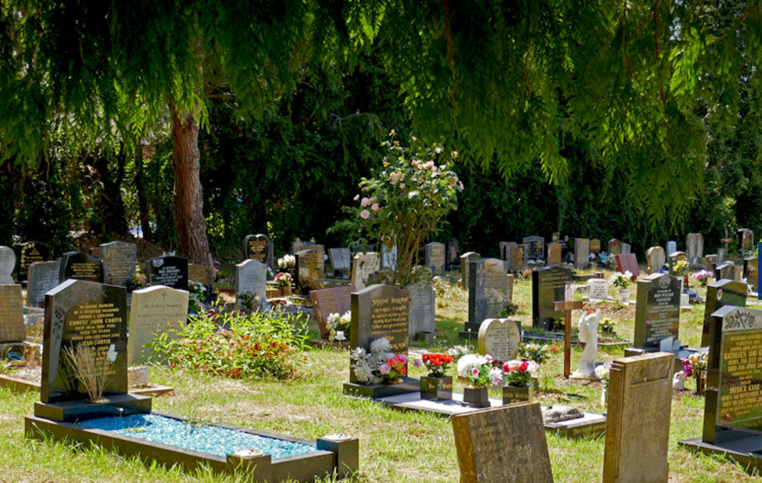
| Memorials | : | 175 |
| Location | : | Millbrook, Southampton Unitary Authority, England |
| Coordinate | : | 50.9164900, -1.4526100 |
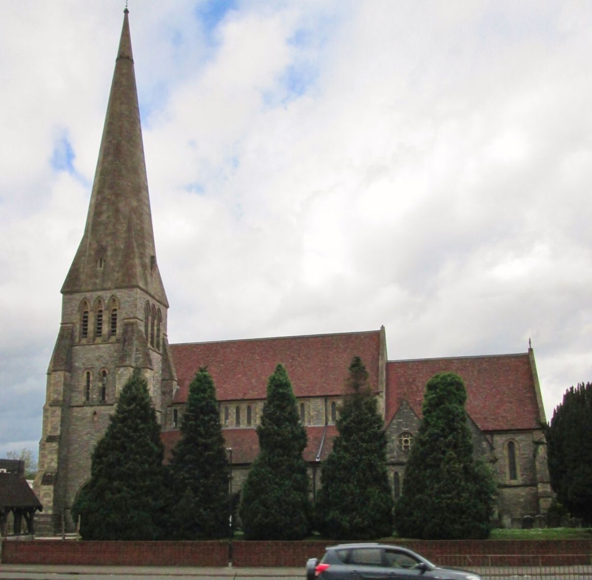
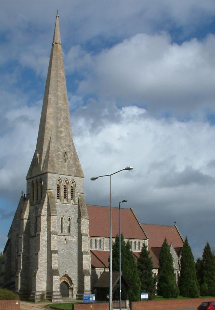
| Description | : | This cemetery was established on land adjacent to Holy Trinity Churchyard. The first burial in Millbrook Cemetery took place on 27 February 1909. Originally established by the Millbrook Parish Council, Southampton City Council took ownership of the cemetery in 1954. |
frequently asked questions (FAQ):
-
Where is Millbrook Cemetery?
Millbrook Cemetery is located at Millbrook Road West Millbrook, Southampton Unitary Authority ,Hampshire , SO15 0LAEngland.
-
Millbrook Cemetery cemetery's updated grave count on graveviews.com?
0 memorials
-
Where are the coordinates of the Millbrook Cemetery?
Latitude: 50.9164900
Longitude: -1.4526100
Nearby Cemetories:
1. Holy Trinity Churchyard
Millbrook, Southampton Unitary Authority, England
Coordinate: 50.9158400, -1.4535100
2. St. Nicholas Churchyard
Millbrook, Southampton Unitary Authority, England
Coordinate: 50.9139100, -1.4439800
3. St. Mary the Virgin Churchyard
Eling, New Forest District, England
Coordinate: 50.9103000, -1.4795700
4. St James by the Park Churchyard
Shirley, Southampton Unitary Authority, England
Coordinate: 50.9266800, -1.4285800
5. St. James by the Park Cemetery
Southampton Unitary Authority, England
Coordinate: 50.9267988, -1.4283898
6. Eling Cemetery
Eling, New Forest District, England
Coordinate: 50.9092640, -1.4817810
7. Hollybrook War Memorial
Southampton, Southampton Unitary Authority, England
Coordinate: 50.9337420, -1.4311350
8. Hollybrook Cemetery
Southampton, Southampton Unitary Authority, England
Coordinate: 50.9340680, -1.4312970
9. Southampton Old Cemetery
Southampton, Southampton Unitary Authority, England
Coordinate: 50.9202900, -1.4130650
10. St John the Apostle Churchyard
Marchwood, New Forest District, England
Coordinate: 50.8900300, -1.4530700
11. Falklands War Memorial
Marchwood, New Forest District, England
Coordinate: 50.8898280, -1.4533250
12. St Michael the Archangel Churchyard
Southampton, Southampton Unitary Authority, England
Coordinate: 50.8996200, -1.4056900
13. Holyrood Church
Southampton Unitary Authority, England
Coordinate: 50.8997498, -1.4034560
14. Holyrood Churchyard
Southampton, Southampton Unitary Authority, England
Coordinate: 50.8996600, -1.4035300
15. All Saints Catacombs and Burial Ground (Defunct)
Southampton, Southampton Unitary Authority, England
Coordinate: 50.9013350, -1.4021500
16. St Lawrence with St John Churchyard
Southampton, Southampton Unitary Authority, England
Coordinate: 50.8977570, -1.4052470
17. St John the Evangelist Churchyard
Rownhams, Test Valley Borough, England
Coordinate: 50.9520900, -1.4541200
18. St. Julien's Church
Southampton, Southampton Unitary Authority, England
Coordinate: 50.8965000, -1.4036000
19. St Boniface Churchyard
Nursling, Test Valley Borough, England
Coordinate: 50.9464660, -1.4896760
20. St Mary Churchyard
Southampton, Southampton Unitary Authority, England
Coordinate: 50.9027100, -1.3960800
21. Highfield Churchyard
Portswood, Southampton Unitary Authority, England
Coordinate: 50.9295400, -1.3949800
22. Christ Church Churchyard
Ashurst, New Forest District, England
Coordinate: 50.8960200, -1.5054200
23. All Saints Churchyard
Dibden, New Forest District, England
Coordinate: 50.8753020, -1.4362590
24. St. Matthew's Churchyard
Netley Marsh, New Forest District, England
Coordinate: 50.9161620, -1.5285530