
| Memorials | : | 5 |
| Location | : | Ashurst, New Forest District, England |
| Coordinate | : | 50.8960200, -1.5054200 |
frequently asked questions (FAQ):
-
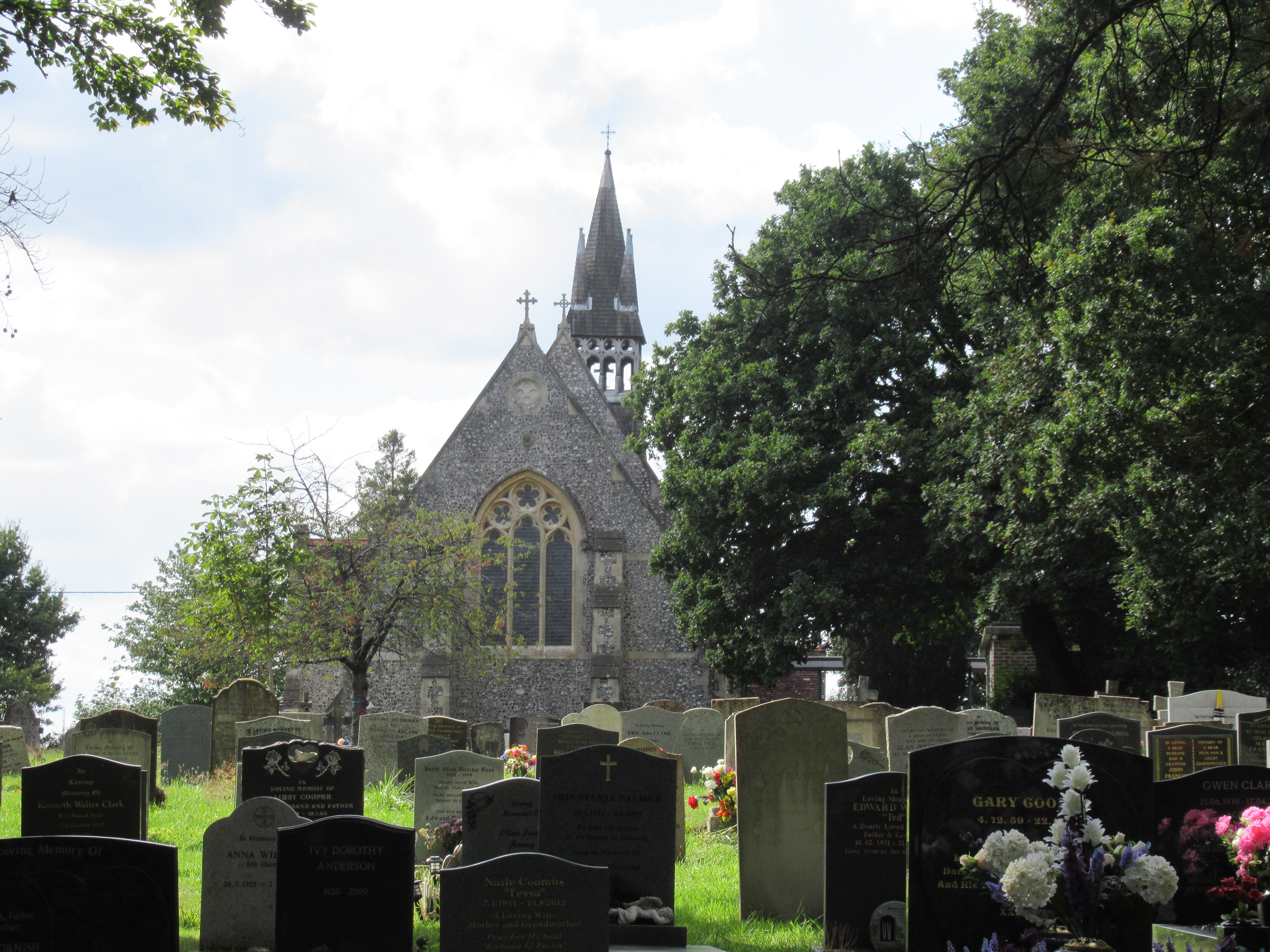
Where is Christ Church Churchyard?
Christ Church Churchyard is located at Deerleap Lane, Ashurst with Colbury Ashurst, New Forest District ,Hampshire , SO40 7EHEngland.
-
Christ Church Churchyard cemetery's updated grave count on graveviews.com?
5 memorials
-
Where are the coordinates of the Christ Church Churchyard?
Latitude: 50.8960200
Longitude: -1.5054200
Nearby Cemetories:
1. Eling Cemetery
Eling, New Forest District, England
Coordinate: 50.9092640, -1.4817810
2. St. Mary the Virgin Churchyard
Eling, New Forest District, England
Coordinate: 50.9103000, -1.4795700
3. St. Matthew's Churchyard
Netley Marsh, New Forest District, England
Coordinate: 50.9161620, -1.5285530
4. Falklands War Memorial
Marchwood, New Forest District, England
Coordinate: 50.8898280, -1.4533250
5. St John the Apostle Churchyard
Marchwood, New Forest District, England
Coordinate: 50.8900300, -1.4530700
6. Holy Trinity Churchyard
Millbrook, Southampton Unitary Authority, England
Coordinate: 50.9158400, -1.4535100
7. Millbrook Cemetery
Millbrook, Southampton Unitary Authority, England
Coordinate: 50.9164900, -1.4526100
8. St. Nicholas Churchyard
Millbrook, Southampton Unitary Authority, England
Coordinate: 50.9139100, -1.4439800
9. Lyndhurst Cemetery
Lyndhurst, New Forest District, England
Coordinate: 50.8723000, -1.5644600
10. All Saints Churchyard
Dibden, New Forest District, England
Coordinate: 50.8753020, -1.4362590
11. St. Mary's Churchyard
Copythorne, New Forest District, England
Coordinate: 50.9307300, -1.5641400
12. St Boniface Churchyard
Nursling, Test Valley Borough, England
Coordinate: 50.9464660, -1.4896760
13. St Michael and All Angels Churchyard
Lyndhurst, New Forest District, England
Coordinate: 50.8722520, -1.5778710
14. St James by the Park Churchyard
Shirley, Southampton Unitary Authority, England
Coordinate: 50.9266800, -1.4285800
15. St. James by the Park Cemetery
Southampton Unitary Authority, England
Coordinate: 50.9267988, -1.4283898
16. Christ Church Churchyard
Emery Down, New Forest District, England
Coordinate: 50.8742900, -1.5935600
17. Hollybrook War Memorial
Southampton, Southampton Unitary Authority, England
Coordinate: 50.9337420, -1.4311350
18. Hollybrook Cemetery
Southampton, Southampton Unitary Authority, England
Coordinate: 50.9340680, -1.4312970
19. All Saints Churchyard
Minstead, New Forest District, England
Coordinate: 50.8967200, -1.6017160
20. St Michael the Archangel Churchyard
Southampton, Southampton Unitary Authority, England
Coordinate: 50.8996200, -1.4056900
21. Southampton Old Cemetery
Southampton, Southampton Unitary Authority, England
Coordinate: 50.9202900, -1.4130650
22. St Lawrence with St John Churchyard
Southampton, Southampton Unitary Authority, England
Coordinate: 50.8977570, -1.4052470
23. St. Julien's Church
Southampton, Southampton Unitary Authority, England
Coordinate: 50.8965000, -1.4036000
24. Holyrood Churchyard
Southampton, Southampton Unitary Authority, England
Coordinate: 50.8996600, -1.4035300