
| Memorials | : | 48 |
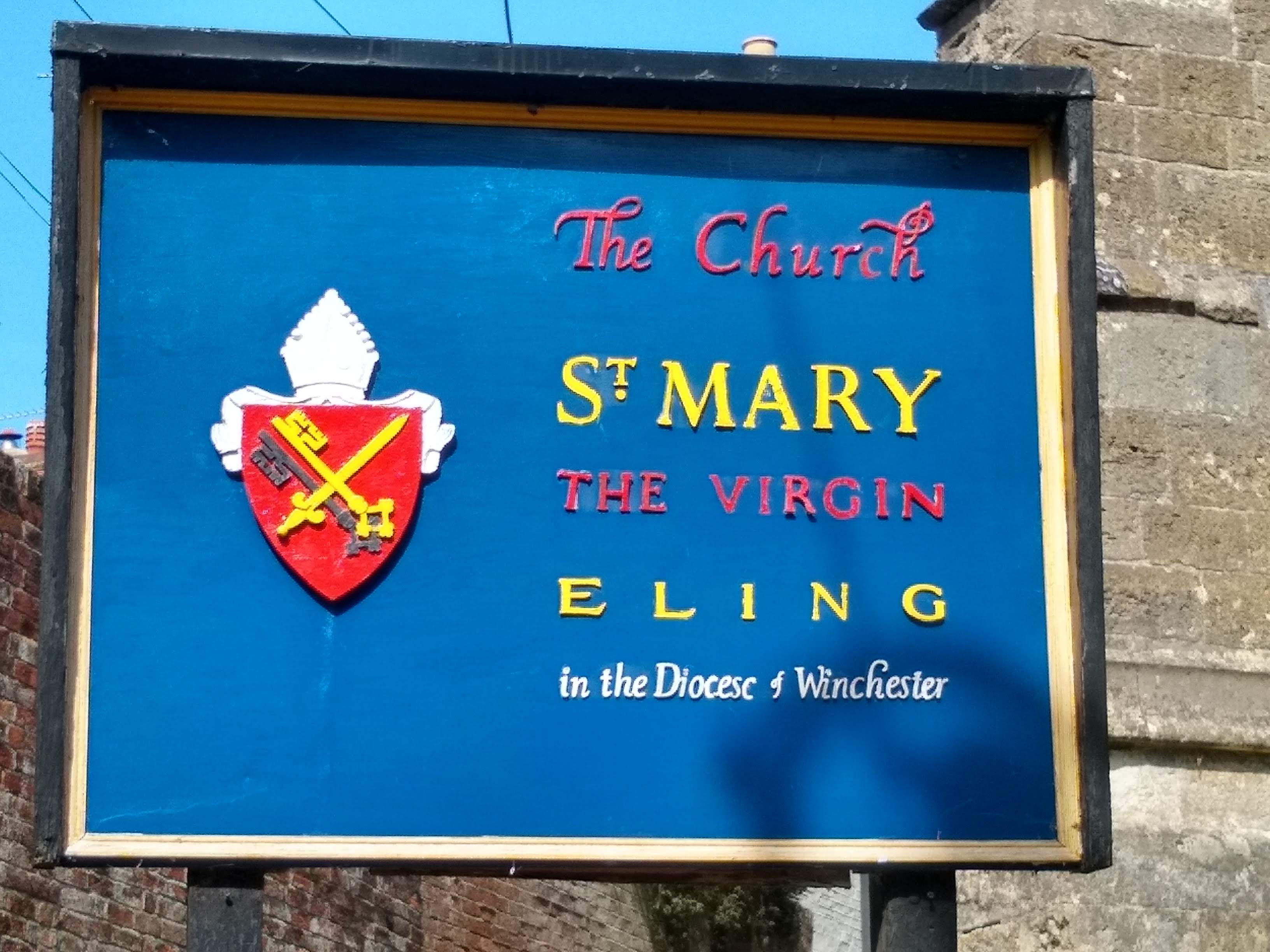
| Location | : | Eling, New Forest District, England |
| Coordinate | : | 50.9103000, -1.4795700 |
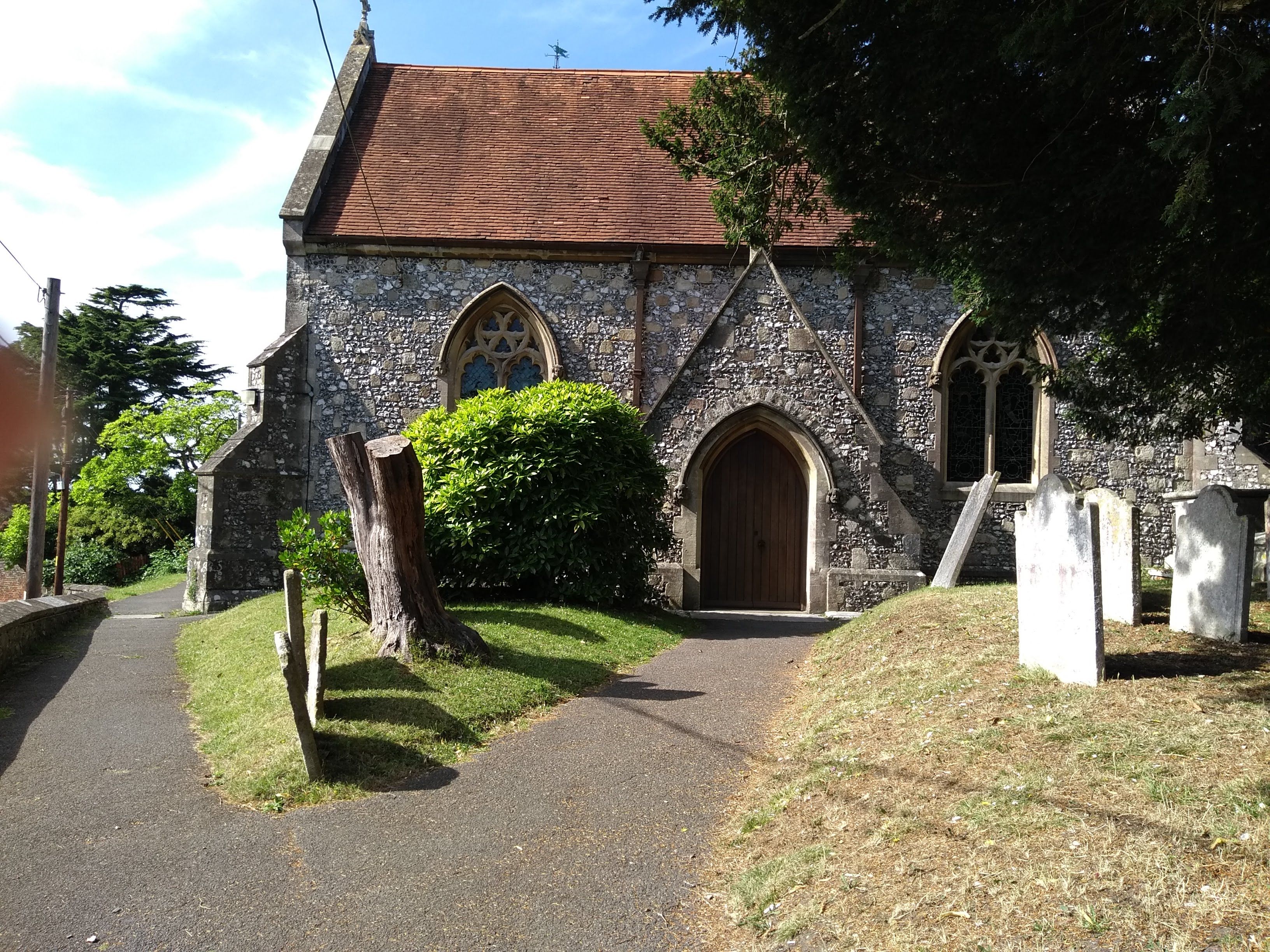
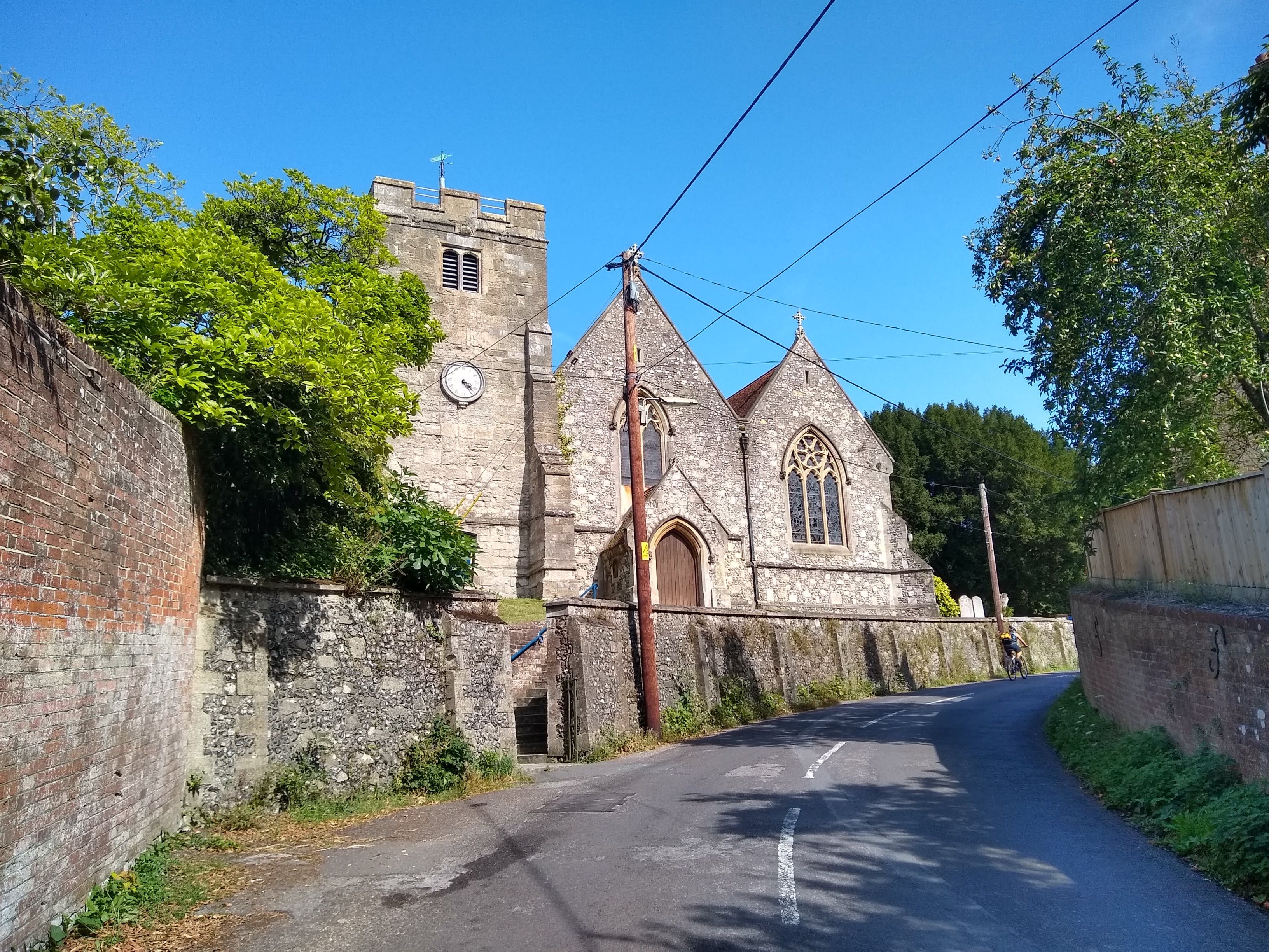
| Description | : | The church stands on high ground not far from the water's edge, on the western shores of the Southampton Water, on Eling Hill, and near it is the vicarage with its extensive garden and fine trees. In the churchyard are a number of very good carved 18th-century headstones, all cut in the hard Purbeck stone. Located on the intersection of Jacob's Cutter Lane and Bury Lane in Eling. The parish records go back to 1535 and the graveyard is estimated to hold 30,000 burials. This is not surprising since the graveyard has been used for at least 900 years!... Read More |
frequently asked questions (FAQ):
-
Where is St. Mary the Virgin Churchyard?
St. Mary the Virgin Churchyard is located at Eling Hill Eling, New Forest District ,Hampshire , SO40 9HFEngland.
-
St. Mary the Virgin Churchyard cemetery's updated grave count on graveviews.com?
48 memorials
-
Where are the coordinates of the St. Mary the Virgin Churchyard?
Latitude: 50.9103000
Longitude: -1.4795700
Nearby Cemetories:
1. Eling Cemetery
Eling, New Forest District, England
Coordinate: 50.9092640, -1.4817810
2. Holy Trinity Churchyard
Millbrook, Southampton Unitary Authority, England
Coordinate: 50.9158400, -1.4535100
3. Millbrook Cemetery
Millbrook, Southampton Unitary Authority, England
Coordinate: 50.9164900, -1.4526100
4. Christ Church Churchyard
Ashurst, New Forest District, England
Coordinate: 50.8960200, -1.5054200
5. St. Nicholas Churchyard
Millbrook, Southampton Unitary Authority, England
Coordinate: 50.9139100, -1.4439800
6. St John the Apostle Churchyard
Marchwood, New Forest District, England
Coordinate: 50.8900300, -1.4530700
7. Falklands War Memorial
Marchwood, New Forest District, England
Coordinate: 50.8898280, -1.4533250
8. St. Matthew's Churchyard
Netley Marsh, New Forest District, England
Coordinate: 50.9161620, -1.5285530
9. St James by the Park Churchyard
Shirley, Southampton Unitary Authority, England
Coordinate: 50.9266800, -1.4285800
10. St. James by the Park Cemetery
Southampton Unitary Authority, England
Coordinate: 50.9267988, -1.4283898
11. St Boniface Churchyard
Nursling, Test Valley Borough, England
Coordinate: 50.9464660, -1.4896760
12. Hollybrook War Memorial
Southampton, Southampton Unitary Authority, England
Coordinate: 50.9337420, -1.4311350
13. Hollybrook Cemetery
Southampton, Southampton Unitary Authority, England
Coordinate: 50.9340680, -1.4312970
14. Southampton Old Cemetery
Southampton, Southampton Unitary Authority, England
Coordinate: 50.9202900, -1.4130650
15. All Saints Churchyard
Dibden, New Forest District, England
Coordinate: 50.8753020, -1.4362590
16. St John the Evangelist Churchyard
Rownhams, Test Valley Borough, England
Coordinate: 50.9520900, -1.4541200
17. St Michael the Archangel Churchyard
Southampton, Southampton Unitary Authority, England
Coordinate: 50.8996200, -1.4056900
18. St Lawrence with St John Churchyard
Southampton, Southampton Unitary Authority, England
Coordinate: 50.8977570, -1.4052470
19. Holyrood Churchyard
Southampton, Southampton Unitary Authority, England
Coordinate: 50.8996600, -1.4035300
20. Holyrood Church
Southampton Unitary Authority, England
Coordinate: 50.8997498, -1.4034560
21. All Saints Catacombs and Burial Ground (Defunct)
Southampton, Southampton Unitary Authority, England
Coordinate: 50.9013350, -1.4021500
22. St. Julien's Church
Southampton, Southampton Unitary Authority, England
Coordinate: 50.8965000, -1.4036000
23. St Mary Churchyard
Southampton, Southampton Unitary Authority, England
Coordinate: 50.9027100, -1.3960800
24. Highfield Churchyard
Portswood, Southampton Unitary Authority, England
Coordinate: 50.9295400, -1.3949800