
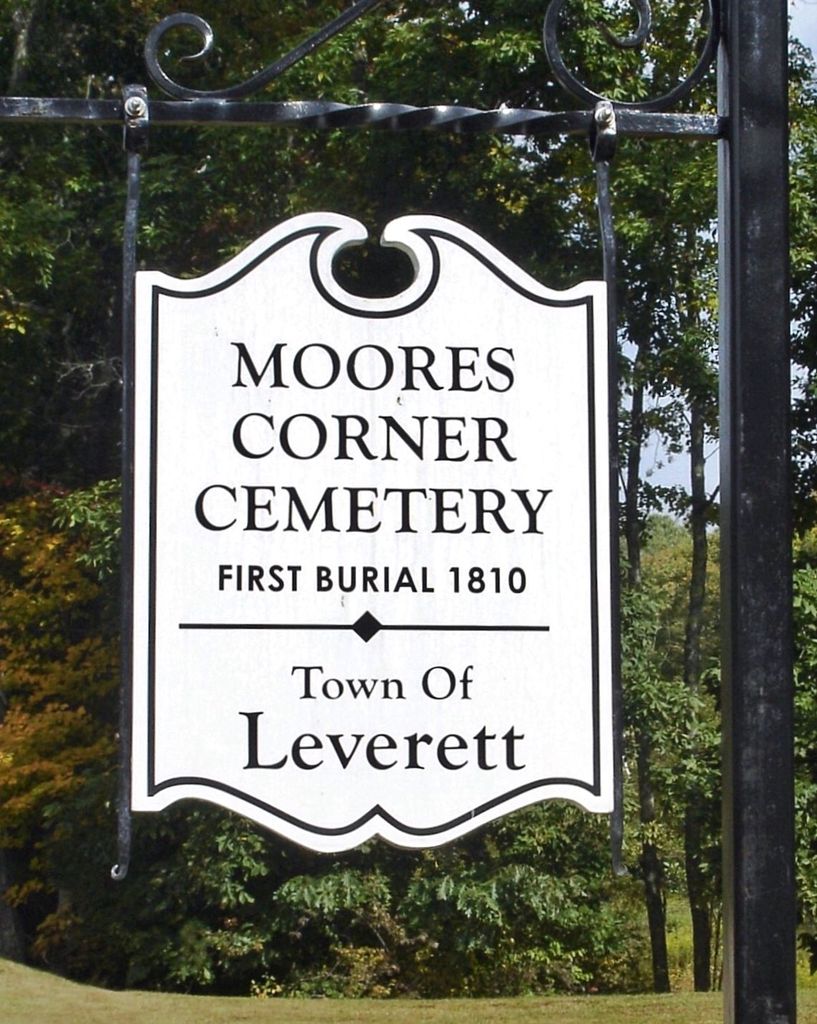
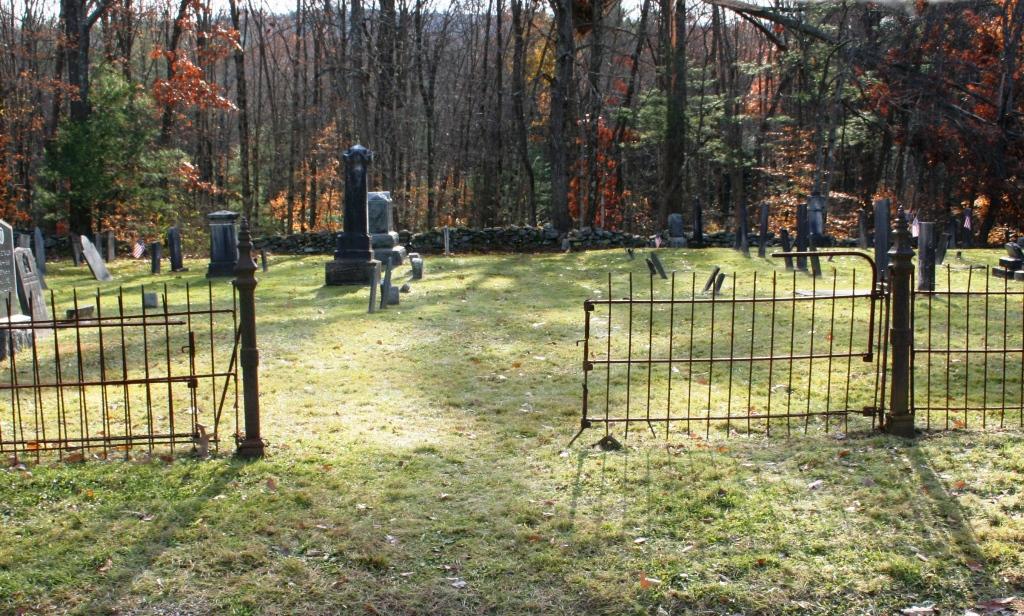
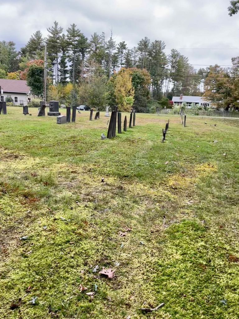
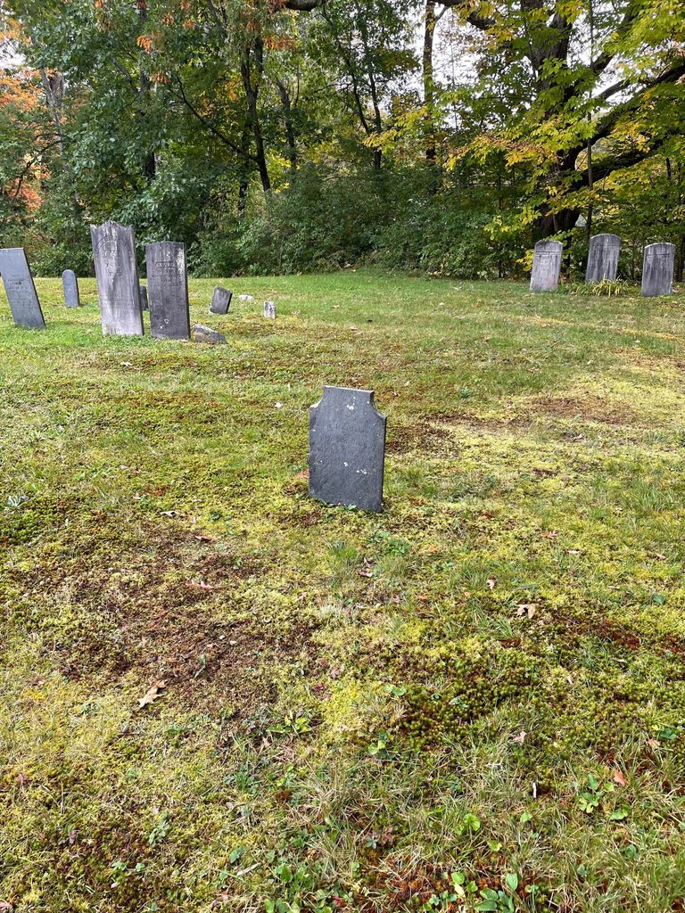
| Memorials | : | 16 |
| Location | : | Leverett, Franklin County, USA |
| Coordinate | : | 42.4924200, -72.4730700 |
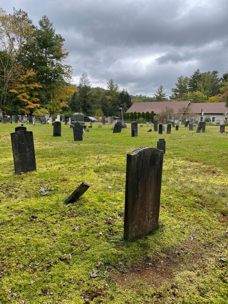
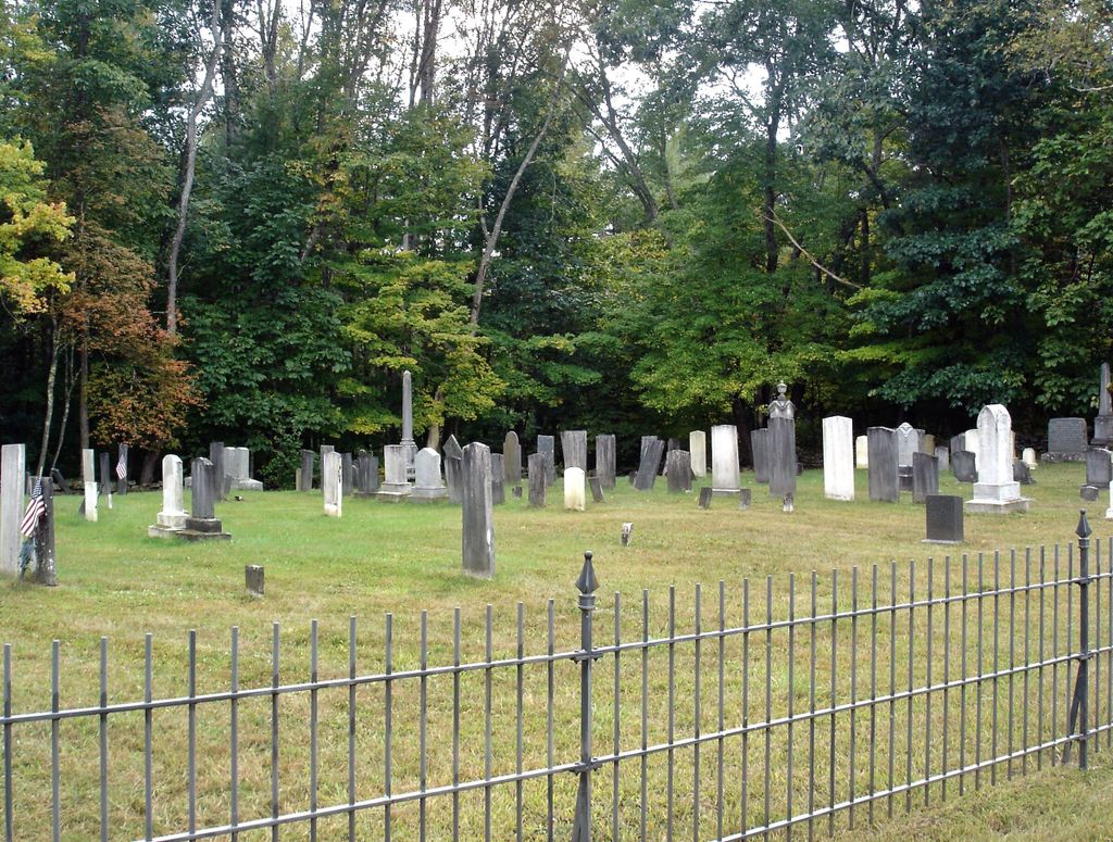
| Description | : | The land for this cemetery was donated on June 11, 1824 by Asa Moore. This cemetery is owned and operated by the North Leverett Cemetery Association. The Massachusetts Historical Commission refers to this cemetery in MACRIS as LEV804. |
frequently asked questions (FAQ):
-
Where is Moores Corner Cemetery?
Moores Corner Cemetery is located at Rattlesnake Gutter Road Leverett, Franklin County ,Massachusetts , 01054USA.
-
Moores Corner Cemetery cemetery's updated grave count on graveviews.com?
15 memorials
-
Where are the coordinates of the Moores Corner Cemetery?
Latitude: 42.4924200
Longitude: -72.4730700
Nearby Cemetories:
1. Plain View Cemetery
Leverett, Franklin County, USA
Coordinate: 42.4972100, -72.4751900
2. Patrick Cemetery
Leverett, Franklin County, USA
Coordinate: 42.4995800, -72.4619500
3. Gardner Cemetery
Leverett, Franklin County, USA
Coordinate: 42.5036011, -72.4574966
4. Mount Hope Cemetery
Leverett, Franklin County, USA
Coordinate: 42.5111008, -72.4906006
5. Jackson Hill Cemetery
Leverett, Franklin County, USA
Coordinate: 42.5028000, -72.5028000
6. Marvell Cemetery
Leverett, Franklin County, USA
Coordinate: 42.5028000, -72.5042038
7. Locks Village Cemetery
Shutesbury, Franklin County, USA
Coordinate: 42.5010200, -72.4364000
8. Chestnut Hill Cemetery
Montague, Franklin County, USA
Coordinate: 42.5228004, -72.4822006
9. North Cemetery
Leverett, Franklin County, USA
Coordinate: 42.4673720, -72.4983230
10. Mount Toby Cemetery
Leverett, Franklin County, USA
Coordinate: 42.4894810, -72.5174400
11. South Cemetery
Wendell, Franklin County, USA
Coordinate: 42.5092000, -72.4206000
12. Jewish Community Association of Amherst Cemetery
Shutesbury, Franklin County, USA
Coordinate: 42.4502690, -72.4297230
13. Luther Henry Tomb Yard
Shutesbury, Franklin County, USA
Coordinate: 42.4501500, -72.4253400
14. West Cemetery
Shutesbury, Franklin County, USA
Coordinate: 42.4502300, -72.4242700
15. Old South Cemetery
Montague, Franklin County, USA
Coordinate: 42.5232500, -72.5360300
16. North Sunderland Cemetery
Sunderland, Franklin County, USA
Coordinate: 42.4972000, -72.5492020
17. Long Plain Cemetery
Leverett, Franklin County, USA
Coordinate: 42.4510994, -72.5250015
18. East Leverett Cemetery
Leverett, Franklin County, USA
Coordinate: 42.4357224, -72.4857788
19. Dry Hill Cemetery
Montague, Franklin County, USA
Coordinate: 42.5558300, -72.4647600
20. Locust Hill Cemetery
Montague, Franklin County, USA
Coordinate: 42.5394700, -72.5363400
21. Elm Grove Cemetery
Montague, Franklin County, USA
Coordinate: 42.5418600, -72.5359000
22. Pine Nook Cemetery
Deerfield, Franklin County, USA
Coordinate: 42.5086300, -72.5661400
23. Town Cemetery
Montague, Franklin County, USA
Coordinate: 42.5595000, -72.5070200
24. Pratts Corner Cemetery
Shutesbury, Franklin County, USA
Coordinate: 42.4183400, -72.4700500