
| Memorials | : | 0 |
| Location | : | Marion, McDowell County, USA |
| Coordinate | : | 35.6174650, -82.0190030 |
frequently asked questions (FAQ):
-
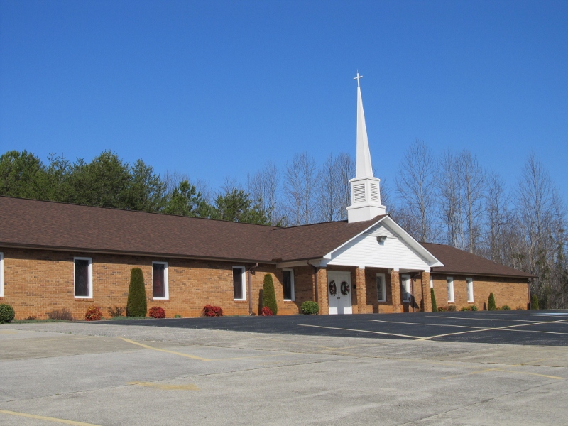
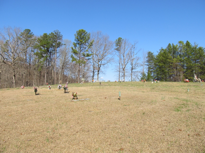
Where is Mount Pleasant Baptist Church Cemetery?
Mount Pleasant Baptist Church Cemetery is located at Marion, McDowell County ,North Carolina ,USA.
-
Mount Pleasant Baptist Church Cemetery cemetery's updated grave count on graveviews.com?
0 memorials
-
Where are the coordinates of the Mount Pleasant Baptist Church Cemetery?
Latitude: 35.6174650
Longitude: -82.0190030
Nearby Cemetories:
1. Neal Cemetery
McDowell County, USA
Coordinate: 35.6068993, -81.9991989
2. Ridgeway Freewill Baptist Church Cemetery
McDowell County, USA
Coordinate: 35.6319070, -82.0010530
3. Providence United Methodist Church Cemetery
Marion, McDowell County, USA
Coordinate: 35.6368860, -82.0503680
4. Nealsville Church Of God Cemetery
McDowell County, USA
Coordinate: 35.5885590, -81.9924240
5. Pleasant Grove Cemetery
Marion, McDowell County, USA
Coordinate: 35.5830920, -82.0399750
6. Freedom Missionary Baptist Church Cemetery
McDowell County, USA
Coordinate: 35.5835400, -82.0412400
7. Sugar Hill Baptist Church Cemetery
McDowell County, USA
Coordinate: 35.5803070, -82.0316050
8. Bethel Baptist Church Cemetery
Marion, McDowell County, USA
Coordinate: 35.5847890, -81.9929230
9. Glenwood Cemetery
Marion, McDowell County, USA
Coordinate: 35.6117870, -81.9708270
10. Glenwood Independent Baptist Church Cemetery
McDowell County, USA
Coordinate: 35.5884730, -81.9829800
11. Zion Hill Baptist Church Cemetery
Marion, McDowell County, USA
Coordinate: 35.6314011, -82.0686035
12. West Marion United Methodist Church Cemetery
Marion, McDowell County, USA
Coordinate: 35.6609920, -82.0235890
13. Glades Cemetery
McDowell County, USA
Coordinate: 35.6422005, -82.0669022
14. Old Pleasant Grove Methodist Church Cemetery
McDowell County, USA
Coordinate: 35.5785060, -82.0515210
15. Mount Calvary Free Will Baptist Church Cemetery
McDowell County, USA
Coordinate: 35.6617550, -82.0401430
16. Nix Creek Free Will Baptist Church
Marion, McDowell County, USA
Coordinate: 35.6461500, -82.0699590
17. Mountain Creek Independent Baptist Church Cemetery
Glenwood, McDowell County, USA
Coordinate: 35.5657700, -82.0057900
18. Lawing Cemetery
McDowell County, USA
Coordinate: 35.5628014, -82.0056000
19. Cross Mill Cemetery
Marion, McDowell County, USA
Coordinate: 35.6736341, -82.0221047
20. Chapel Hill Cemetery
Marion, McDowell County, USA
Coordinate: 35.6613998, -81.9756012
21. Barnes Cemetery
McDowell County, USA
Coordinate: 35.6567440, -81.9692870
22. McDowell Cemetery
McDowell County, USA
Coordinate: 35.6638380, -82.0587210
23. Arrowood Cemetery
Glenwood, McDowell County, USA
Coordinate: 35.5774970, -81.9669530
24. Oak Grove Cemetery
Marion, McDowell County, USA
Coordinate: 35.6768990, -81.9966965