
| Memorials | : | 9 |
| Location | : | Marion, McDowell County, USA |
| Coordinate | : | 35.6609920, -82.0235890 |
frequently asked questions (FAQ):
-
Where is West Marion United Methodist Church Cemetery?
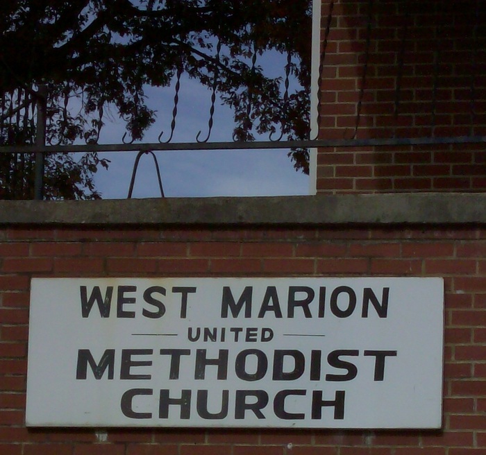
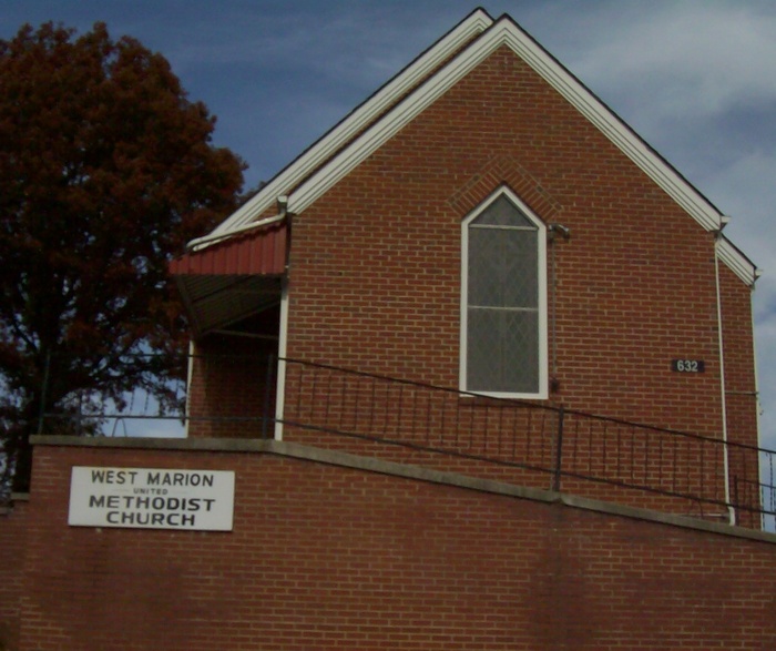
West Marion United Methodist Church Cemetery is located at 632 Stroud Street Marion, McDowell County ,North Carolina , 28752USA.
-
West Marion United Methodist Church Cemetery cemetery's updated grave count on graveviews.com?
9 memorials
-
Where are the coordinates of the West Marion United Methodist Church Cemetery?
Latitude: 35.6609920
Longitude: -82.0235890
Nearby Cemetories:
1. Cross Mill Cemetery
Marion, McDowell County, USA
Coordinate: 35.6736341, -82.0221047
2. Mount Calvary Free Will Baptist Church Cemetery
McDowell County, USA
Coordinate: 35.6617550, -82.0401430
3. Saint John's Episcopal Church Columbarium
Marion, McDowell County, USA
Coordinate: 35.6793360, -82.0058020
4. Duncan Family Cemetery
Marion, McDowell County, USA
Coordinate: 35.6791540, -82.0011160
5. Oak Grove Cemetery
Marion, McDowell County, USA
Coordinate: 35.6768990, -81.9966965
6. Old Marion Methodist Episcopal Church Cemetery
McDowell County, USA
Coordinate: 35.6856260, -82.0063220
7. McDowell Cemetery
McDowell County, USA
Coordinate: 35.6638380, -82.0587210
8. Morehead Cemetery
Marion, McDowell County, USA
Coordinate: 35.6787420, -81.9956450
9. Providence United Methodist Church Cemetery
Marion, McDowell County, USA
Coordinate: 35.6368860, -82.0503680
10. First United Methodist Church Columbarium
Marion, McDowell County, USA
Coordinate: 35.6917680, -82.0063040
11. Ridgeway Freewill Baptist Church Cemetery
McDowell County, USA
Coordinate: 35.6319070, -82.0010530
12. Elhannon Cemetery
Marion, McDowell County, USA
Coordinate: 35.6861350, -81.9924160
13. Chapel Hill Cemetery
Marion, McDowell County, USA
Coordinate: 35.6613998, -81.9756012
14. Glades Cemetery
McDowell County, USA
Coordinate: 35.6422005, -82.0669022
15. Nix Creek Free Will Baptist Church
Marion, McDowell County, USA
Coordinate: 35.6461500, -82.0699590
16. Mount Pleasant Baptist Church Cemetery
Marion, McDowell County, USA
Coordinate: 35.6174650, -82.0190030
17. Proctor-Henline Cemetery
Marion, McDowell County, USA
Coordinate: 35.7047030, -82.0192750
18. Barnes Cemetery
McDowell County, USA
Coordinate: 35.6567440, -81.9692870
19. Zion Hill Baptist Church Cemetery
Marion, McDowell County, USA
Coordinate: 35.6314011, -82.0686035
20. Round Hill Baptist Church Cemetery
McDowell County, USA
Coordinate: 35.7050620, -82.0468440
21. Brown Family Cemetery
Pleasant Gardens, McDowell County, USA
Coordinate: 35.6967239, -82.0679550
22. Pleasant Gardens Baptist Church Cemetery
Marion, McDowell County, USA
Coordinate: 35.6933390, -82.0719010
23. Patton-Logan Cemetery
Pleasant Gardens, McDowell County, USA
Coordinate: 35.6907230, -82.0767370
24. Solid Rock Free Will Baptist Church Cemetery
Marion, McDowell County, USA
Coordinate: 35.6693120, -81.9589280