
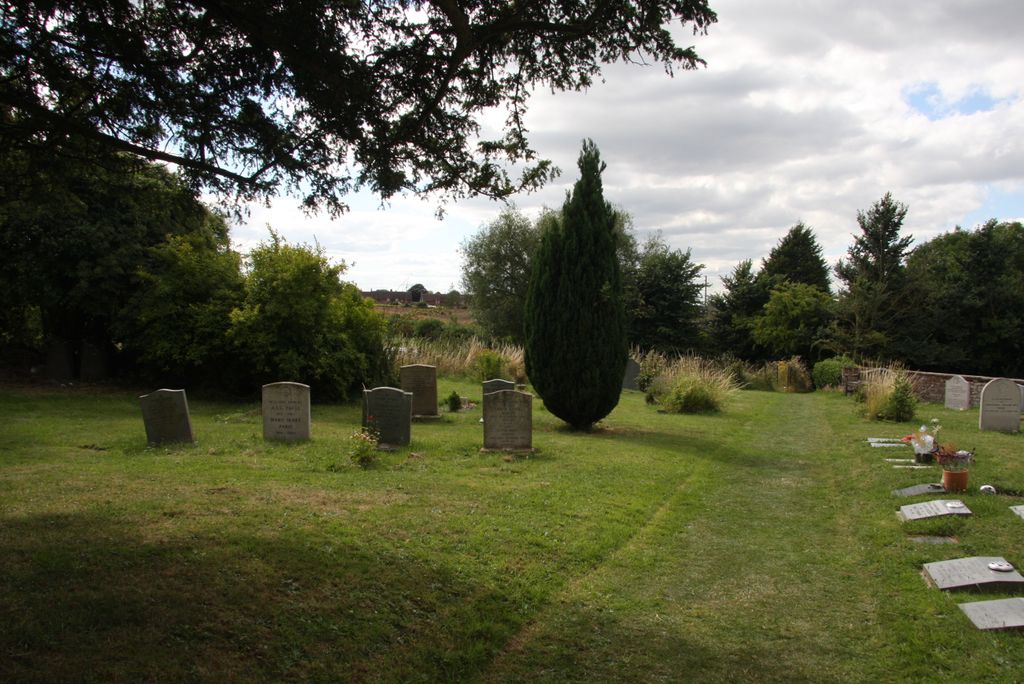
| Memorials | : | 5 |
| Location | : | Crowell, South Oxfordshire District, England |
| Coordinate | : | 51.6921610, -0.9268631 |
frequently asked questions (FAQ):
-
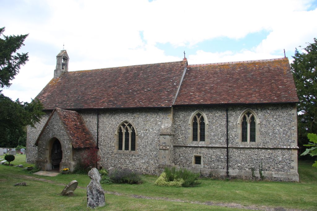
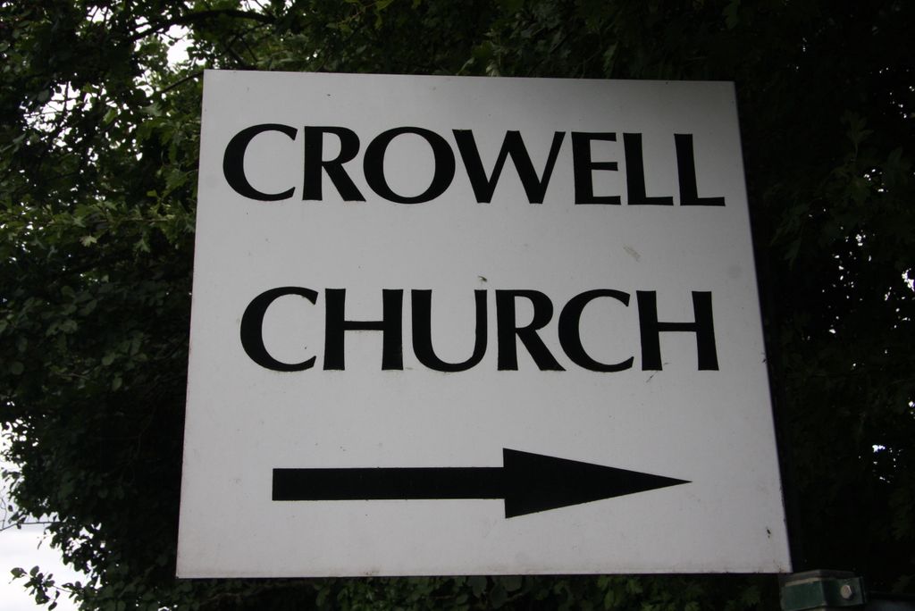
Where is Nativity of the Blessed Virgin Mary Churchyard?
Nativity of the Blessed Virgin Mary Churchyard is located at Just off the B4009 Crowell, South Oxfordshire District ,Oxfordshire , OX39 4RPEngland.
-
Nativity of the Blessed Virgin Mary Churchyard cemetery's updated grave count on graveviews.com?
5 memorials
-
Where are the coordinates of the Nativity of the Blessed Virgin Mary Churchyard?
Latitude: 51.6921610
Longitude: -0.9268631
Nearby Cemetories:
1. St Andrew's Church
Chinnor, South Oxfordshire District, England
Coordinate: 51.7016400, -0.9062790
2. St. Peter and St. Paul's Church Cemetery
Aston Rowant, South Oxfordshire District, England
Coordinate: 51.6851100, -0.9502900
3. St Mary's Churchyard
Sydenham, South Oxfordshire District, England
Coordinate: 51.7112360, -0.9398460
4. St Margarets Churchyard
Lewknor, South Oxfordshire District, England
Coordinate: 51.6730340, -0.9663030
5. St Peter and St Paul Churchyard
Stokenchurch, Wycombe District, England
Coordinate: 51.6615290, -0.9022940
6. Holy Trinity Churchyard
Bledlow, Wycombe District, England
Coordinate: 51.7127780, -0.8745720
7. Holy Trinity New Churchyard
Bledlow, Wycombe District, England
Coordinate: 51.7136400, -0.8737800
8. Stokenchurch Church Cemetery
Stokenchurch, Wycombe District, England
Coordinate: 51.6572200, -0.8960300
9. St. Mary's Churchyard
Adwell, South Oxfordshire District, England
Coordinate: 51.6906560, -0.9938380
10. St Mary Churchyard
Radnage, Wycombe District, England
Coordinate: 51.6747990, -0.8647210
11. Thame Park Chapel
Thame, South Oxfordshire District, England
Coordinate: 51.7290130, -0.9650540
12. Getty Family Estate
Stokenchurch, Wycombe District, England
Coordinate: 51.6437360, -0.9334510
13. St. Andrew's Churchyard
Wheatfield, South Oxfordshire District, England
Coordinate: 51.6879720, -1.0050930
14. St. Catherine Churchyard
Towersey, South Oxfordshire District, England
Coordinate: 51.7411700, -0.9360300
15. Ss. Mary and Nicholas Churchyard
Saunderton, Wycombe District, England
Coordinate: 51.7101051, -0.8499552
16. St Paul's Churchyard
Bledlow Ridge, Wycombe District, England
Coordinate: 51.6726230, -0.8484280
17. St Giles Churchyard
Tetsworth, South Oxfordshire District, England
Coordinate: 51.7085800, -1.0086700
18. St. Michael's and All Angels Churchyard
Horsenden, Wycombe District, England
Coordinate: 51.7193800, -0.8527040
19. All Saints Churchyard
Shirburn, South Oxfordshire District, England
Coordinate: 51.6577000, -0.9945000
20. St. Peter's Churchyard
Ilmer, Wycombe District, England
Coordinate: 51.7428914, -0.8873946
21. St. Mary Magdalene
Stoke Talmage, South Oxfordshire District, England
Coordinate: 51.6878240, -1.0183240
22. Thame War Memorial
Thame, South Oxfordshire District, England
Coordinate: 51.7452570, -0.9743330
23. St Mary Churchyard
Pyrton, South Oxfordshire District, England
Coordinate: 51.6558520, -1.0076830
24. St Nicholas Churchyard
Kingsey, Aylesbury Vale District, England
Coordinate: 51.7545190, -0.9246110