
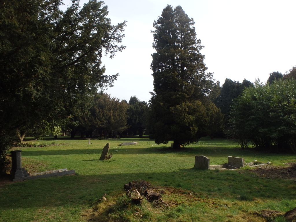
| Memorials | : | 0 |
| Location | : | Stokenchurch, Wycombe District, England |
| Coordinate | : | 51.6572200, -0.8960300 |
frequently asked questions (FAQ):
-
Where is Stokenchurch Church Cemetery?
Stokenchurch Church Cemetery is located at Marlow Road Stokenchurch, Wycombe District ,Buckinghamshire ,England.
-
Stokenchurch Church Cemetery cemetery's updated grave count on graveviews.com?
0 memorials
-
Where are the coordinates of the Stokenchurch Church Cemetery?
Latitude: 51.6572200
Longitude: -0.8960300

Nearby Cemetories:
1. St Peter and St Paul Churchyard
Stokenchurch, Wycombe District, England
Coordinate: 51.6615290, -0.9022940
2. St Mary Churchyard
Radnage, Wycombe District, England
Coordinate: 51.6747990, -0.8647210
3. Getty Family Estate
Stokenchurch, Wycombe District, England
Coordinate: 51.6437360, -0.9334510
4. St Paul's Churchyard
Bledlow Ridge, Wycombe District, England
Coordinate: 51.6726230, -0.8484280
5. St Nicholas Churchyard
Ibstone, Wycombe District, England
Coordinate: 51.6247660, -0.9093120
6. St. Mary-le-Moor Churchyard
Cadmore End, Wycombe District, England
Coordinate: 51.6263500, -0.8686600
7. Nativity of the Blessed Virgin Mary Churchyard
Crowell, South Oxfordshire District, England
Coordinate: 51.6921610, -0.9268631
8. St Mary's Churchyard
Turville, Wycombe District, England
Coordinate: 51.6139860, -0.8938190
9. St. Peter and St. Paul's Church Cemetery
Aston Rowant, South Oxfordshire District, England
Coordinate: 51.6851100, -0.9502900
10. St. Bartholomew Churchyard
Fingest, Wycombe District, England
Coordinate: 51.6137200, -0.8791500
11. St Andrew's Church
Chinnor, South Oxfordshire District, England
Coordinate: 51.7016400, -0.9062790
12. St Margarets Churchyard
Lewknor, South Oxfordshire District, England
Coordinate: 51.6730340, -0.9663030
13. Holy Trinity Churchyard Extension
Lane End, Wycombe District, England
Coordinate: 51.6172700, -0.8382920
14. Holy Trinity Churchyard
Lane End, Wycombe District, England
Coordinate: 51.6176000, -0.8368900
15. St. Lawrence Churchyard
West Wycombe, Wycombe District, England
Coordinate: 51.6479900, -0.8060200
16. Holy Trinity Churchyard
Bledlow, Wycombe District, England
Coordinate: 51.7127780, -0.8745720
17. Dashwood Mausoleum
West Wycombe, Wycombe District, England
Coordinate: 51.6471210, -0.8047420
18. St. Botolph Churchyard
Bradenham, Wycombe District, England
Coordinate: 51.6668380, -0.8041850
19. Holy Trinity New Churchyard
Bledlow, Wycombe District, England
Coordinate: 51.7136400, -0.8737800
20. St. John the Evangelist Churchyard
Hambleden, Wycombe District, England
Coordinate: 51.6052700, -0.8514000
21. Ss. Mary and Nicholas Churchyard
Saunderton, Wycombe District, England
Coordinate: 51.7101051, -0.8499552
22. St Mary's Churchyard
Sydenham, South Oxfordshire District, England
Coordinate: 51.7112360, -0.9398460
23. All Saints Churchyard
Shirburn, South Oxfordshire District, England
Coordinate: 51.6577000, -0.9945000
24. Loosley Row Cemetery
Losley Row, Wycombe District, England
Coordinate: 51.6974200, -0.8190600