
| Memorials | : | 0 |
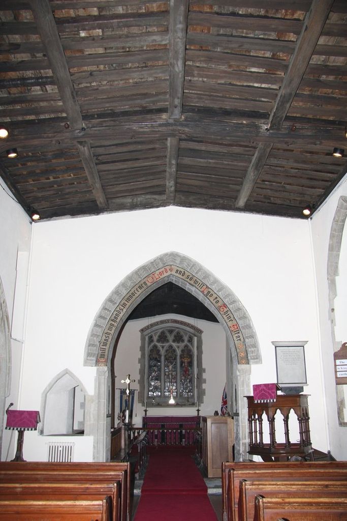
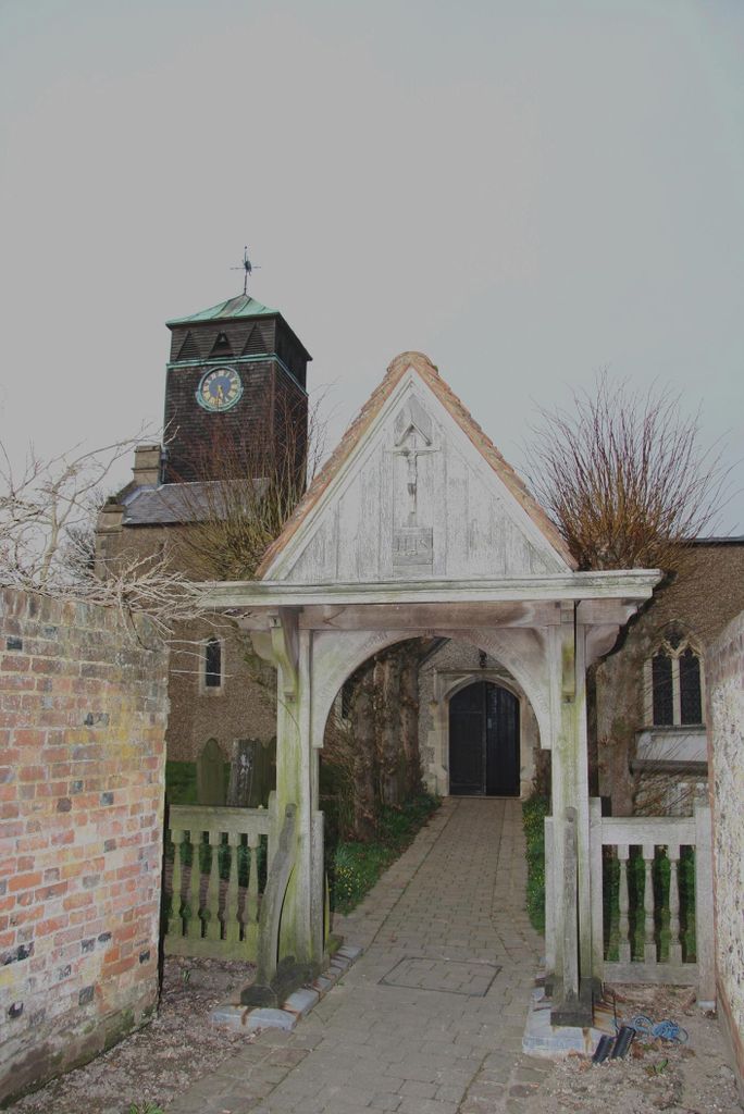
| Location | : | Stokenchurch, Wycombe District, England |
| Coordinate | : | 51.6615290, -0.9022940 |
| Description | : | Stokenchurch is a village and civil parish within Wycombe district in the English county of Buckinghamshire. It is located in the Chiltern Hills, about three miles south of Chinnor in Oxfordshire, six miles west of High Wycombe. The village is a popular place to live, due to its rural location and ease of access to London and Birmingham. Stokenchurch has its own junction of the M40 (junction 5). Added By wertypop. |
frequently asked questions (FAQ):
-
Where is St Peter and St Paul Churchyard?
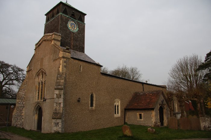
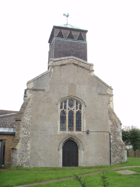
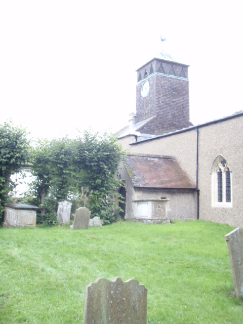
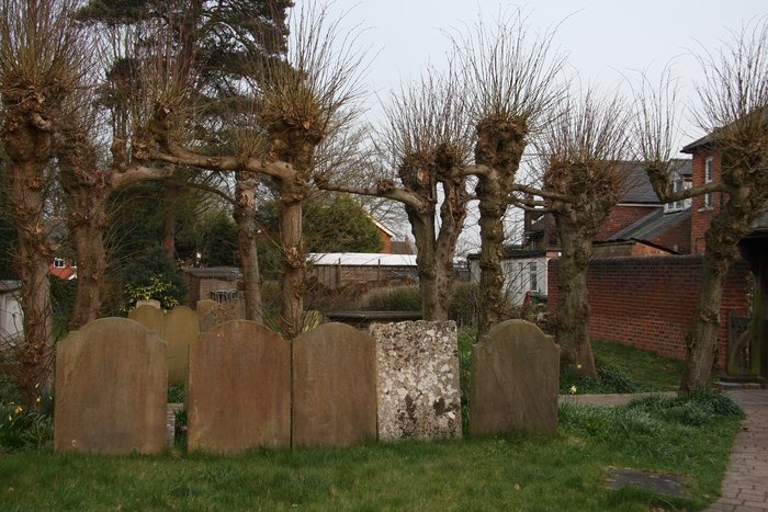
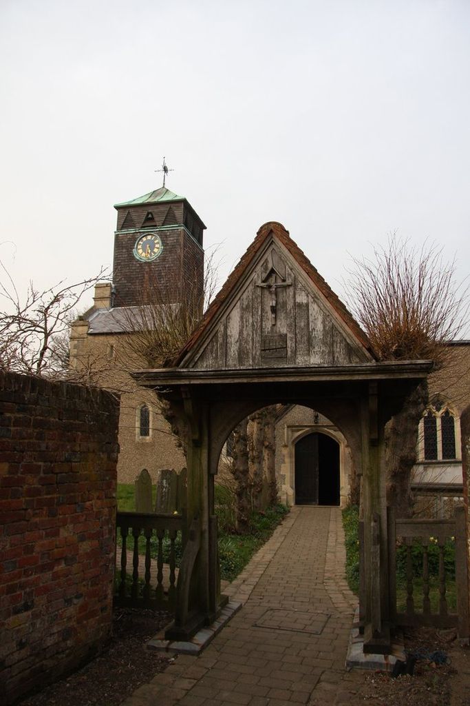
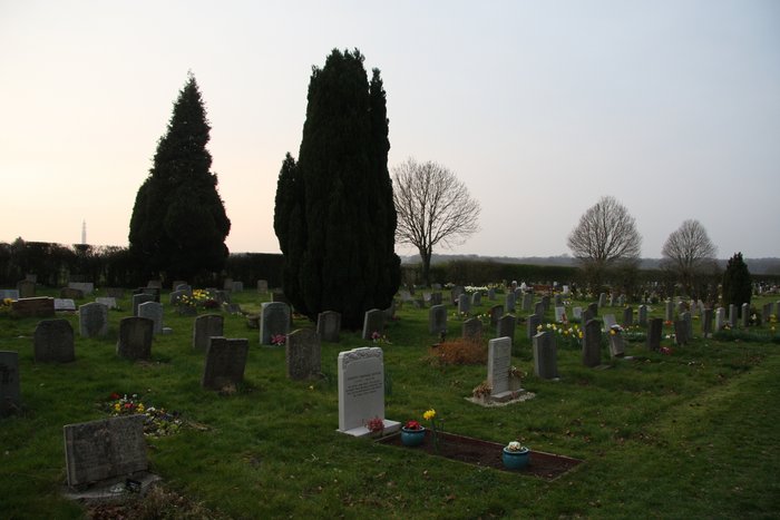
St Peter and St Paul Churchyard is located at Church Street Stokenchurch, Wycombe District ,Buckinghamshire , HP14 3RGEngland.
-
St Peter and St Paul Churchyard cemetery's updated grave count on graveviews.com?
0 memorials
-
Where are the coordinates of the St Peter and St Paul Churchyard?
Latitude: 51.6615290
Longitude: -0.9022940
Nearby Cemetories:
1. Stokenchurch Church Cemetery
Stokenchurch, Wycombe District, England
Coordinate: 51.6572200, -0.8960300
2. Getty Family Estate
Stokenchurch, Wycombe District, England
Coordinate: 51.6437360, -0.9334510
3. St Mary Churchyard
Radnage, Wycombe District, England
Coordinate: 51.6747990, -0.8647210
4. Nativity of the Blessed Virgin Mary Churchyard
Crowell, South Oxfordshire District, England
Coordinate: 51.6921610, -0.9268631
5. St Paul's Churchyard
Bledlow Ridge, Wycombe District, England
Coordinate: 51.6726230, -0.8484280
6. St Nicholas Churchyard
Ibstone, Wycombe District, England
Coordinate: 51.6247660, -0.9093120
7. St. Peter and St. Paul's Church Cemetery
Aston Rowant, South Oxfordshire District, England
Coordinate: 51.6851100, -0.9502900
8. St Andrew's Church
Chinnor, South Oxfordshire District, England
Coordinate: 51.7016400, -0.9062790
9. St. Mary-le-Moor Churchyard
Cadmore End, Wycombe District, England
Coordinate: 51.6263500, -0.8686600
10. St Margarets Churchyard
Lewknor, South Oxfordshire District, England
Coordinate: 51.6730340, -0.9663030
11. St Mary's Churchyard
Turville, Wycombe District, England
Coordinate: 51.6139860, -0.8938190
12. St. Bartholomew Churchyard
Fingest, Wycombe District, England
Coordinate: 51.6137200, -0.8791500
13. Holy Trinity Churchyard
Bledlow, Wycombe District, England
Coordinate: 51.7127780, -0.8745720
14. St Mary's Churchyard
Sydenham, South Oxfordshire District, England
Coordinate: 51.7112360, -0.9398460
15. Holy Trinity New Churchyard
Bledlow, Wycombe District, England
Coordinate: 51.7136400, -0.8737800
16. All Saints Churchyard
Shirburn, South Oxfordshire District, England
Coordinate: 51.6577000, -0.9945000
17. Ss. Mary and Nicholas Churchyard
Saunderton, Wycombe District, England
Coordinate: 51.7101051, -0.8499552
18. Holy Trinity Churchyard Extension
Lane End, Wycombe District, England
Coordinate: 51.6172700, -0.8382920
19. Holy Trinity Churchyard
Lane End, Wycombe District, England
Coordinate: 51.6176000, -0.8368900
20. St. Botolph Churchyard
Bradenham, Wycombe District, England
Coordinate: 51.6668380, -0.8041850
21. St. Lawrence Churchyard
West Wycombe, Wycombe District, England
Coordinate: 51.6479900, -0.8060200
22. Dashwood Mausoleum
West Wycombe, Wycombe District, England
Coordinate: 51.6471210, -0.8047420
23. Loosley Row Cemetery
Losley Row, Wycombe District, England
Coordinate: 51.6974200, -0.8190600
24. St. Mary's Churchyard
Adwell, South Oxfordshire District, England
Coordinate: 51.6906560, -0.9938380