
| Memorials | : | 0 |
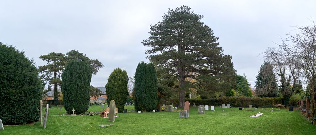
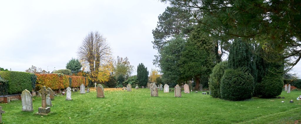
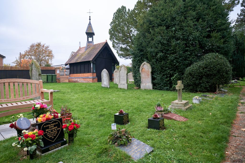
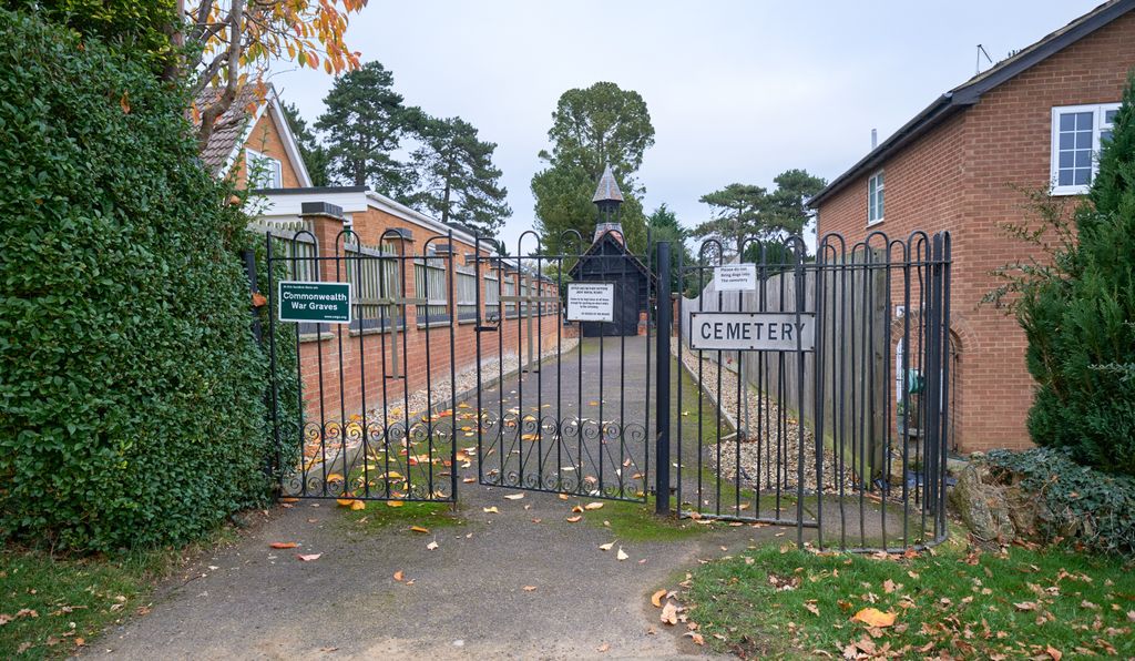
| Location | : | Nether Heyford, South Northamptonshire Borough, England |
| Coordinate | : | 52.2220715, -1.0385032 |
frequently asked questions (FAQ):
-
Where is Nether Heyford Cemetery?
Nether Heyford Cemetery is located at Weedon Road Nether Heyford, South Northamptonshire Borough ,Northamptonshire ,England.
-
Nether Heyford Cemetery cemetery's updated grave count on graveviews.com?
0 memorials
-
Where are the coordinates of the Nether Heyford Cemetery?
Latitude: 52.2220715
Longitude: -1.0385032
Nearby Cemetories:
1. All Saints Churchyard
Flore, Daventry District, England
Coordinate: 52.2331000, -1.0615000
2. St Michael & All Angels Churchyard
Bugbrooke, South Northamptonshire Borough, England
Coordinate: 52.2096900, -1.0149000
3. Weedon Bec Cemetery
Weedon Bec, Daventry District, England
Coordinate: 52.2275500, -1.0715300
4. St. Peter & St. Paul's Churchyard
Weedon Bec, Daventry District, England
Coordinate: 52.2281180, -1.0741343
5. St Michael's Church
Stowe Nine Churches, Daventry District, England
Coordinate: 52.2120000, -1.0721000
6. United Reformed Churchyard
Weedon Bec, Daventry District, England
Coordinate: 52.2278000, -1.0776000
7. All Saints Churchyard
Harpole, South Northamptonshire Borough, England
Coordinate: 52.2427100, -0.9899750
8. St. Luke Churchyard
Kislingbury, South Northamptonshire Borough, England
Coordinate: 52.2307300, -0.9806300
9. Church of the Holy Cross
Pattishall, South Northamptonshire Borough, England
Coordinate: 52.1828670, -1.0197770
10. St Mary the Virgin Churchyard
Dodford, Daventry District, England
Coordinate: 52.2396800, -1.1044500
11. St. Luke's Churchyard
Cold Higham, South Northamptonshire Borough, England
Coordinate: 52.1759000, -1.0323000
12. St. Mary the Virgin
Farthingstone, Daventry District, England
Coordinate: 52.1899123, -1.1043480
13. Rothersthorpe Extension
Rothersthorpe, South Northamptonshire Borough, England
Coordinate: 52.2046235, -0.9591382
14. St Peter and St Paul
Rothersthorpe, South Northamptonshire Borough, England
Coordinate: 52.2034651, -0.9566385
15. St. Mary the Virgin Churchyard
Gayton, South Northamptonshire Borough, England
Coordinate: 52.1869000, -0.9687000
16. St Michael's Churchyard
Upton, Northampton Borough, England
Coordinate: 52.2356600, -0.9508160
17. Everdon Parish CHurchyard
Everdon, Daventry District, England
Coordinate: 52.2123168, -1.1310740
18. St. Andrew Churchyard
Whilton, Daventry District, England
Coordinate: 52.2776040, -1.0683450
19. St Mary the Virgin with St John Churchyard
Great Brington, Daventry District, England
Coordinate: 52.2810470, -1.0235660
20. Saint Luke Churchyard
Duston, Northampton Borough, England
Coordinate: 52.2428820, -0.9396550
21. All Saints Churchyard
Norton, Daventry District, England
Coordinate: 52.2681250, -1.1180030
22. Spencer Estate Grounds
Althorp, Daventry District, England
Coordinate: 52.2839190, -0.9889520
23. Counties Crematorium
Northampton, Northampton Borough, England
Coordinate: 52.2058720, -0.9245220
24. Dallington Cemetery
Northampton, Northampton Borough, England
Coordinate: 52.2505200, -0.9287200