
| Memorials | : | 86 |
| Location | : | Upton, Northampton Borough, England |
| Coordinate | : | 52.2356600, -0.9508160 |
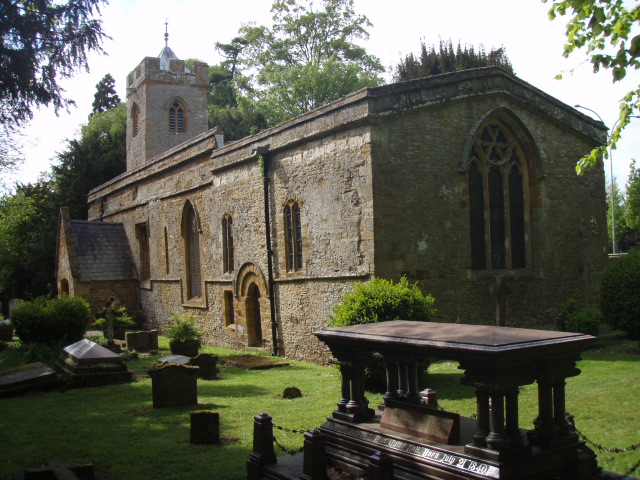
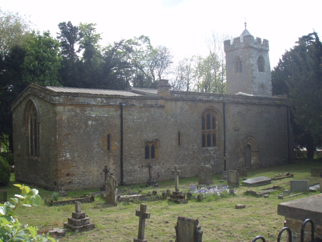
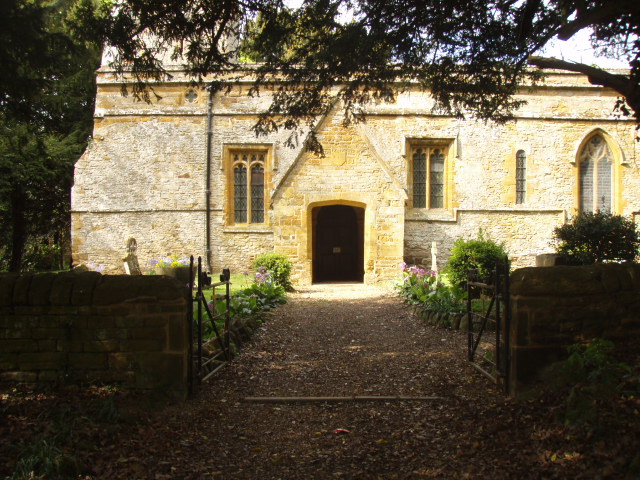
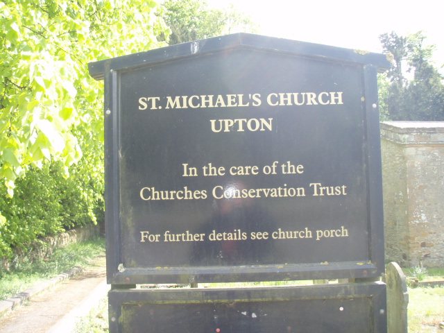
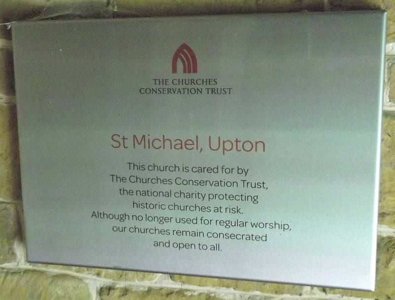
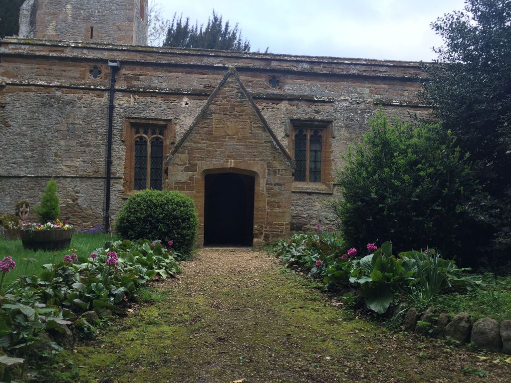
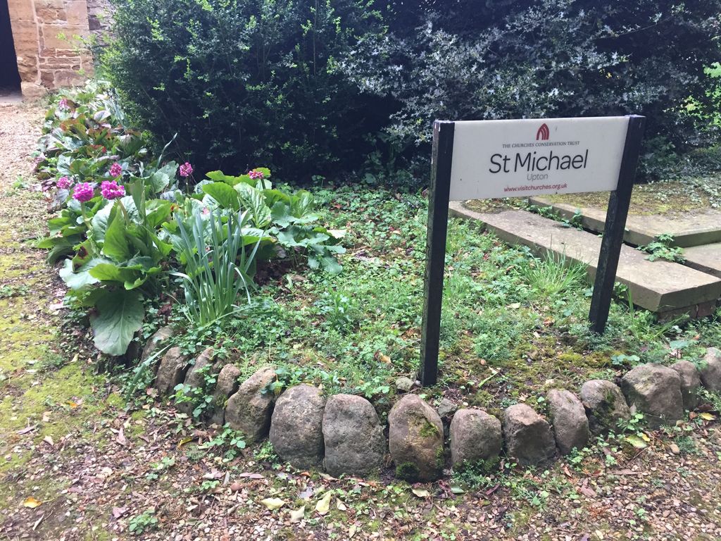
| Description | : | 2 miles west of Northampton on A45 and immediately to the west of the A45/A4500 roundabout; adjacent to Quinton House School on the south side of Weedon Road via Upton Road This curious box-like Norman church, with its slender 14th century tower, stands between the very busy A45 and the grounds of Upton Hall, now a school: it is full of character and interest. There are several memorials and hatchments mostly commemorating the Samwell family, recumbent effigies of Sir Richard Knightley (d.1537) and his wife and a monument to James Harrington (d. 1677), the author of Oceana. The Northampton architect, Matthew... Read More |
frequently asked questions (FAQ):
-
Where is St Michael's Churchyard?
St Michael's Churchyard is located at Upton Lane Upton, Northampton Borough ,Northamptonshire , NN5 4UXEngland.
-
St Michael's Churchyard cemetery's updated grave count on graveviews.com?
86 memorials
-
Where are the coordinates of the St Michael's Churchyard?
Latitude: 52.2356600
Longitude: -0.9508160
Nearby Cemetories:
1. Saint Luke Churchyard
Duston, Northampton Borough, England
Coordinate: 52.2428820, -0.9396550
2. St. Luke Churchyard
Kislingbury, South Northamptonshire Borough, England
Coordinate: 52.2307300, -0.9806300
3. Dallington Cemetery
Northampton, Northampton Borough, England
Coordinate: 52.2505200, -0.9287200
4. All Saints Churchyard
Harpole, South Northamptonshire Borough, England
Coordinate: 52.2427100, -0.9899750
5. Towcester Road Cemetery
Far Cotton, Northampton Borough, England
Coordinate: 52.2178190, -0.9117050
6. Rothersthorpe Extension
Rothersthorpe, South Northamptonshire Borough, England
Coordinate: 52.2046235, -0.9591382
7. St Peter and St Paul
Rothersthorpe, South Northamptonshire Borough, England
Coordinate: 52.2034651, -0.9566385
8. St. Sepulchre Churchyard
Northampton, Northampton Borough, England
Coordinate: 52.2414600, -0.8973600
9. All Saints Church
Northampton, Northampton Borough, England
Coordinate: 52.2371129, -0.8964385
10. Counties Crematorium
Northampton, Northampton Borough, England
Coordinate: 52.2058720, -0.9245220
11. Northampton County Goal Cemetery
Northampton, Northampton Borough, England
Coordinate: 52.2364470, -0.8945440
12. Northampton Gaol Cemetery
Northampton, Northampton Borough, England
Coordinate: 52.2418540, -0.8940440
13. Cemetery of the Sisters of Notre Dame
Northampton Borough, England
Coordinate: 52.2399000, -0.8923333
14. Billing Road Cemetery
Northampton, Northampton Borough, England
Coordinate: 52.2387200, -0.8750900
15. St Michael & All Angels Churchyard
Bugbrooke, South Northamptonshire Borough, England
Coordinate: 52.2096900, -1.0149000
16. St Botolph Churchyard
Church Brampton, Daventry District, England
Coordinate: 52.2849866, -0.9486724
17. Kingsthorpe Cemetery
Kingsthorpe, Northampton Borough, England
Coordinate: 52.2740400, -0.9001200
18. Hardingstone Combined War Memorial
Hardingstone, Northampton Borough, England
Coordinate: 52.2137600, -0.8784700
19. St. Mary the Virgin Churchyard
Gayton, South Northamptonshire Borough, England
Coordinate: 52.1869000, -0.9687000
20. St Peter and St Paul Churchyard
Abington, Northampton Borough, England
Coordinate: 52.2461580, -0.8653790
21. Spencer Estate Grounds
Althorp, Daventry District, England
Coordinate: 52.2839190, -0.9889520
22. St. Columba Cemetery
Collingtree, Northampton Borough, England
Coordinate: 52.1908900, -0.8990000
23. Nether Heyford Cemetery
Nether Heyford, South Northamptonshire Borough, England
Coordinate: 52.2220715, -1.0385032
24. St John the Baptist Churchyard
Boughton, Daventry District, England
Coordinate: 52.2861187, -0.8971496