
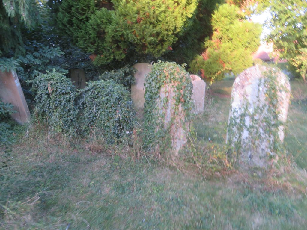
| Memorials | : | 2 |
| Location | : | Gayton, South Northamptonshire Borough, England |
| Coordinate | : | 52.1869000, -0.9687000 |
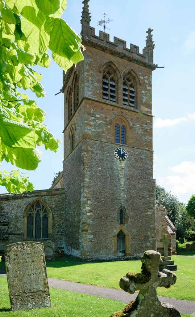
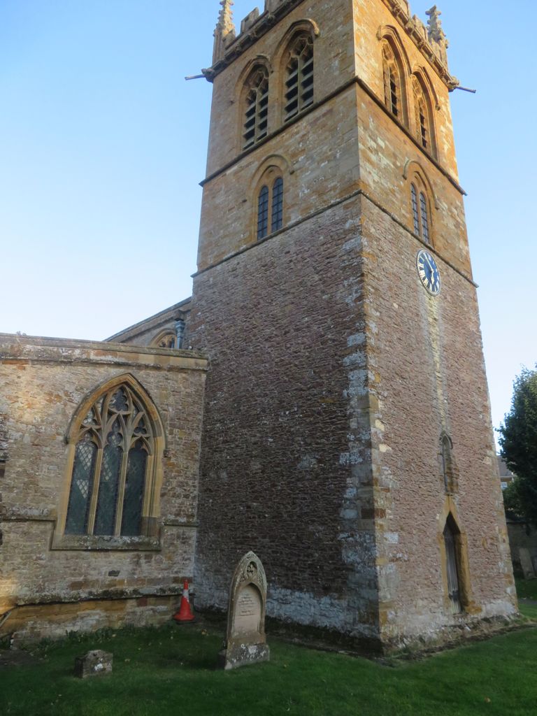
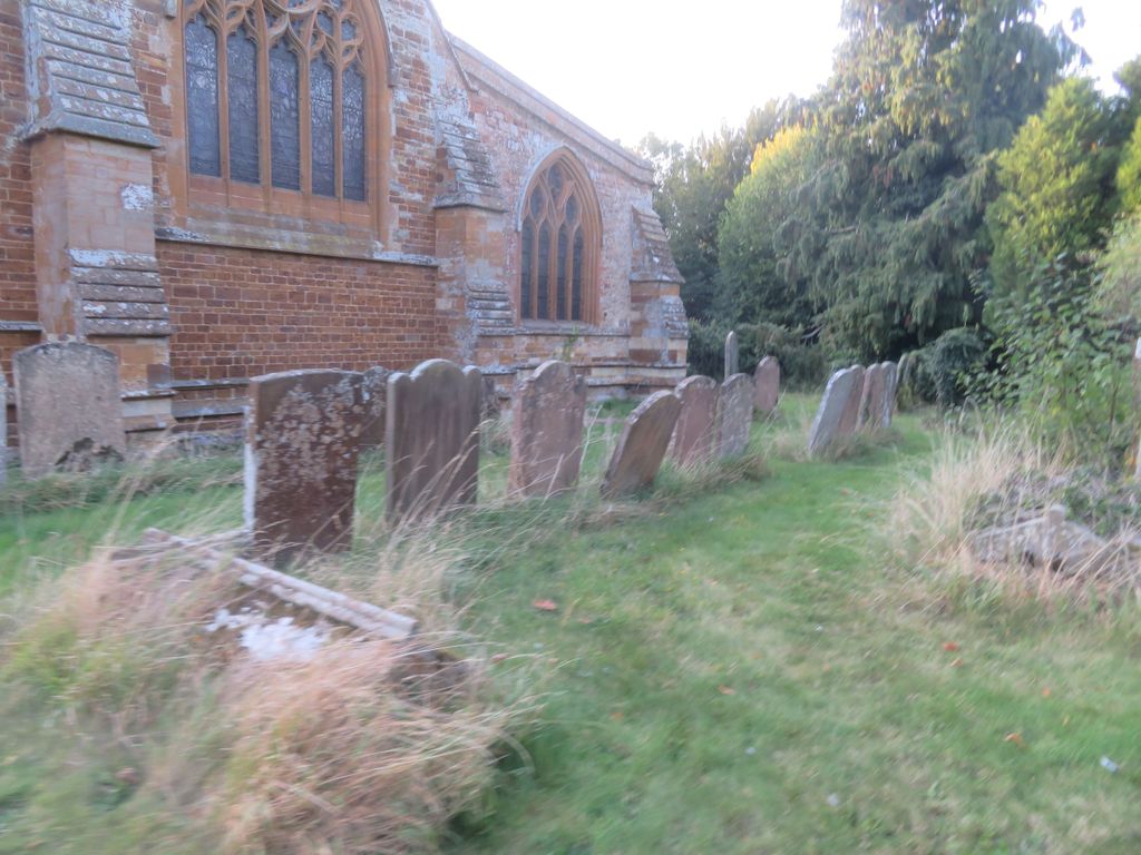
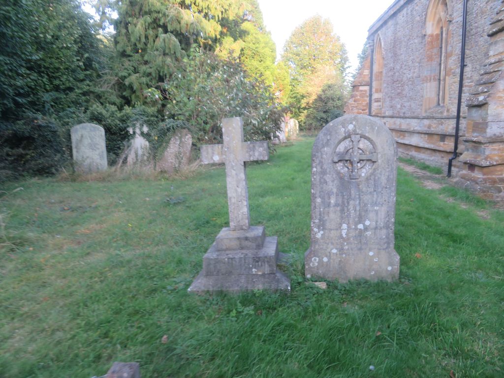
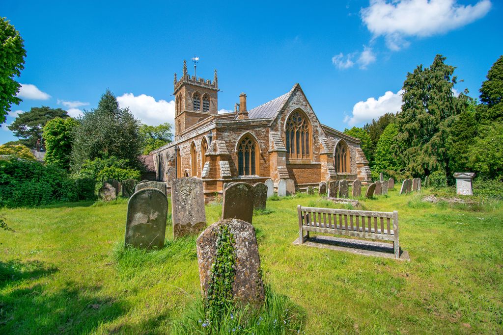
| Description | : | The church, dedicated to St Mary the Virgin. The base of the tower and font are Norman though the upper part of the tower 19th century. The church contains six misericords dating from the 14th and 15th century. |
frequently asked questions (FAQ):
-
Where is St. Mary the Virgin Churchyard?
St. Mary the Virgin Churchyard is located at 1 Milton Road Gayton, South Northamptonshire Borough ,Northamptonshire , NN7 3HPEngland.
-
St. Mary the Virgin Churchyard cemetery's updated grave count on graveviews.com?
2 memorials
-
Where are the coordinates of the St. Mary the Virgin Churchyard?
Latitude: 52.1869000
Longitude: -0.9687000
Nearby Cemetories:
1. St Peter and St Paul
Rothersthorpe, South Northamptonshire Borough, England
Coordinate: 52.2034651, -0.9566385
2. Rothersthorpe Extension
Rothersthorpe, South Northamptonshire Borough, England
Coordinate: 52.2046235, -0.9591382
3. Blisworth
Blisworth, South Northamptonshire Borough, England
Coordinate: 52.1751366, -0.9416729
4. St. John the Baptist Churchyard
Tiffield, South Northamptonshire Borough, England
Coordinate: 52.1586117, -0.9794450
5. Church of the Holy Cross
Pattishall, South Northamptonshire Borough, England
Coordinate: 52.1828670, -1.0197770
6. Counties Crematorium
Northampton, Northampton Borough, England
Coordinate: 52.2058720, -0.9245220
7. St Michael & All Angels Churchyard
Bugbrooke, South Northamptonshire Borough, England
Coordinate: 52.2096900, -1.0149000
8. St. Luke's Churchyard
Cold Higham, South Northamptonshire Borough, England
Coordinate: 52.1759000, -1.0323000
9. St. Columba Cemetery
Collingtree, Northampton Borough, England
Coordinate: 52.1908900, -0.8990000
10. St. Luke Churchyard
Kislingbury, South Northamptonshire Borough, England
Coordinate: 52.2307300, -0.9806300
11. Towcester Road Cemetery
Far Cotton, Northampton Borough, England
Coordinate: 52.2178190, -0.9117050
12. St Michael's Churchyard
Upton, Northampton Borough, England
Coordinate: 52.2356600, -0.9508160
13. St. Mary's Churchyard
Easton Neston, South Northamptonshire Borough, England
Coordinate: 52.1363720, -0.9756590
14. St Bartholomew Churchyard
Greens Norton, South Northamptonshire Borough, England
Coordinate: 52.1434200, -1.0234100
15. Courteenhall
Courteenhall, South Northamptonshire Borough, England
Coordinate: 52.1695200, -0.8834900
16. Nether Heyford Cemetery
Nether Heyford, South Northamptonshire Borough, England
Coordinate: 52.2220715, -1.0385032
17. All Saints Churchyard
Harpole, South Northamptonshire Borough, England
Coordinate: 52.2427100, -0.9899750
18. Saint Luke Churchyard
Duston, Northampton Borough, England
Coordinate: 52.2428820, -0.9396550
19. Brackley Road Cemetery
Towcester, South Northamptonshire Borough, England
Coordinate: 52.1294010, -0.9997560
20. Hardingstone Combined War Memorial
Hardingstone, Northampton Borough, England
Coordinate: 52.2137600, -0.8784700
21. All Saints Church
Northampton, Northampton Borough, England
Coordinate: 52.2371129, -0.8964385
22. Northampton County Goal Cemetery
Northampton, Northampton Borough, England
Coordinate: 52.2364470, -0.8945440
23. St Michael's Church
Stowe Nine Churches, Daventry District, England
Coordinate: 52.2120000, -1.0721000
24. Dallington Cemetery
Northampton, Northampton Borough, England
Coordinate: 52.2505200, -0.9287200