
| Memorials | : | 1 |
| Location | : | Moreton-in-Marsh, Cotswold District, England |
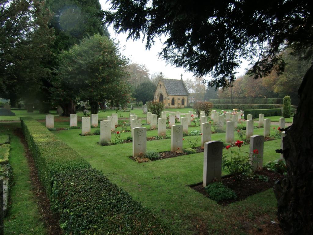
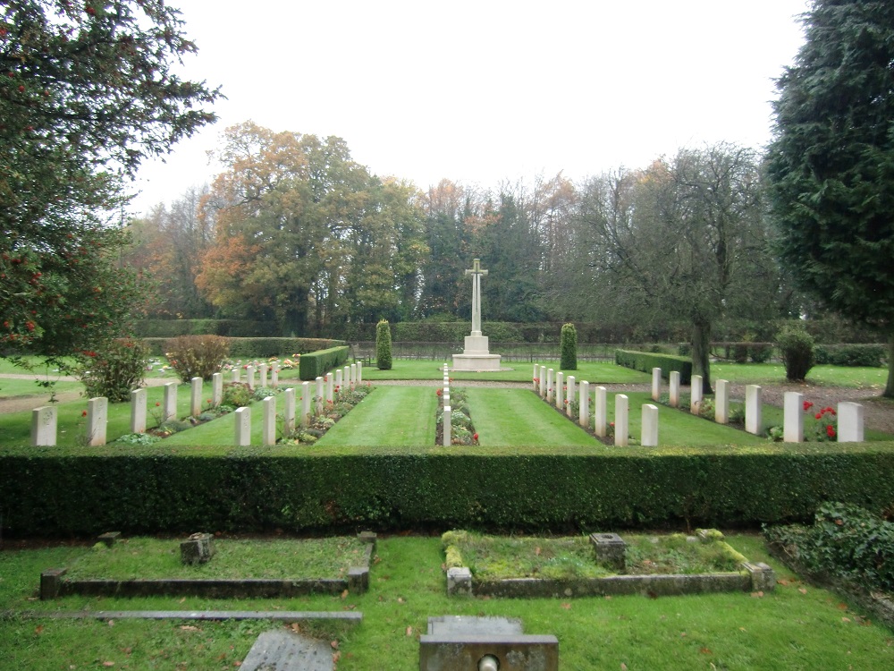
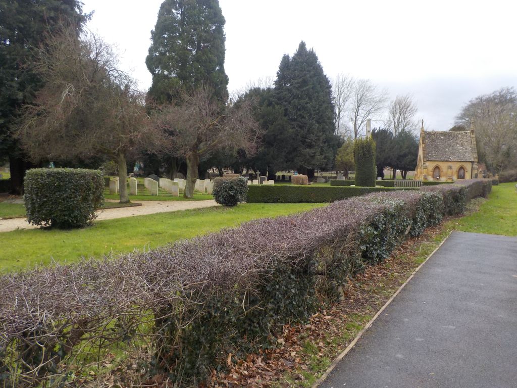
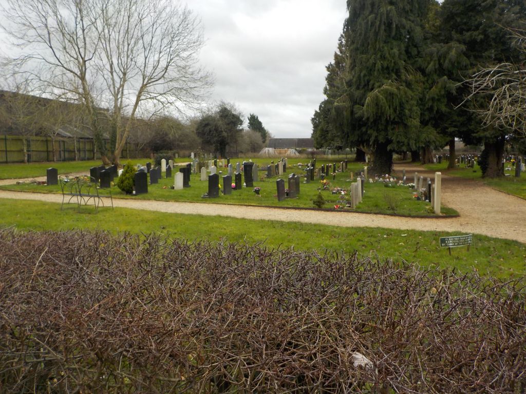
| Description | : | The RAF Station at Moreton-in-Marsh, was home of 21 OTU (Operational Training Unit) which formed on 21st January 1941. The base was used by RAF Bomber Command to train airmen during the second world war and was equipped with the Vickers Wellington bomber. The majority of airmen buried in the new cemetery, war graves plot K, 46 in all, died as a result of training accidents while preparing for the conflict. The information compiled would not have been possible without records from Commonwealth War Graves Commission; Military Crashes in South West Midlands WWW.Aviation Archaeology.org.uk; Crash records WW2 RAAF and the London... Read More |
frequently asked questions (FAQ):
-
Where is New Cemetery?
New Cemetery is located at Moreton-in-Marsh, Cotswold District, England.
-
New Cemetery cemetery's updated grave count on graveviews.com?
1 memorials

Nearby Cemetories:
1. St. Bartholomew's Churchyard
Aldsworth, Cotswold District, England
2. Holy Cross Churchyard
Avening, Cotswold District, England
Coordinate: 51.9278340, -1.6597080
3. St Mary the Virgin Churchyard
Beverston, Cotswold District, England
4. St Paul Churchyard
Broadwell, Cotswold District, England
5. St James the Great Church
Coln St Dennis, Cotswold District, England
Coordinate: 51.6052510, -2.1571120
6. St Peter Churchyard
Daylesford, Cotswold District, England
7. St Michael & St Martin Churchyard
Eastleach, Cotswold District, England
Coordinate: 51.6359632, -2.1585792
8. St. Andrew's Churchyard
Eastleach, Cotswold District, England
Coordinate: 51.8771977, -1.8895386
9. St. Mary's Churchyard
Great Barrington, Cotswold District, England
Coordinate: 51.7125000, -1.8919000
10. St. Mary the Virgin Churchyard
Icomb, Cotswold District, England
Coordinate: 51.7445030, -1.8894860
11. Boxwell St Mary the Virgin Churchyard
Leighterton, Cotswold District, England
Coordinate: 51.7587037, -1.8376852
12. Leighterton Church Cemetery
Leighterton, Cotswold District, England
13. St Mary Churchyard
Lower Swell, Cotswold District, England
14. St Nicholas Churchyard
Oddington, Cotswold District, England
Coordinate: 51.9278340, -1.6597080
15. Quenington Cemetery
Quenington, Cotswold District, England
16. St Swithin's Churchyard
Quenington, Cotswold District, England
17. St John The Baptist Churchyard
Shipton Moyne, Cotswold District, England
Coordinate: 51.6052510, -2.1571120
18. St. Peter's Churchyard
Southrop, Cotswold District, England
19. St. Michael's Churchyard
Tetbury Upton, Cotswold District, England
Coordinate: 51.6359632, -2.1585792
20. All Saints Churchyard Cold Salperton
Cotswold District, England
Coordinate: 51.8771977, -1.8895386
21. Ampney St. Mary Parish Churchyard
Ampney St Mary, Cotswold District, England
Coordinate: 51.7125000, -1.8919000
22. St Mary Churchyard
Barnsley, Cotswold District, England
Coordinate: 51.7445030, -1.8894860
23. St. Mary the Virgin Churchyard
Bibury, Cotswold District, England
Coordinate: 51.7587037, -1.8376852
24. Cherington Church Cemetery
Cherington, Cotswold District, England