
| Memorials | : | 0 |
| Location | : | Barnsley, Cotswold District, England |
| Coordinate | : | 51.7445030, -1.8894860 |
frequently asked questions (FAQ):
-
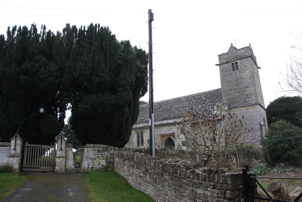
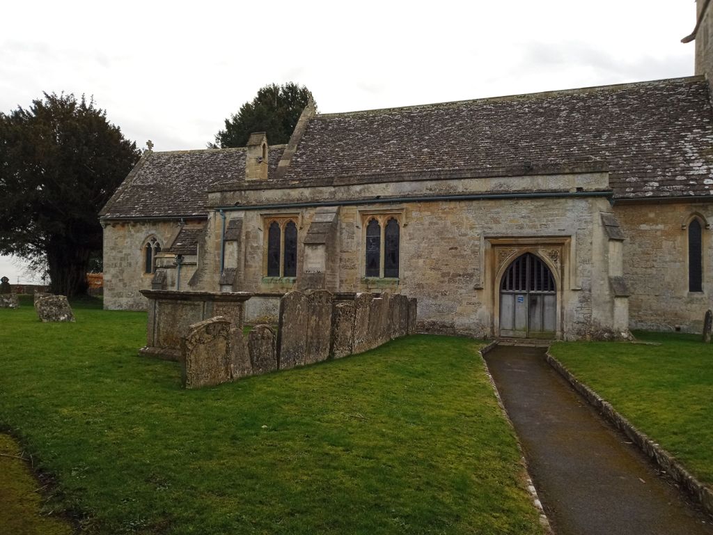
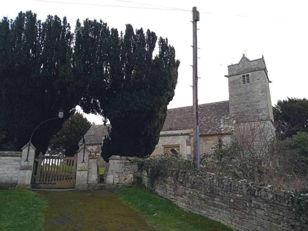
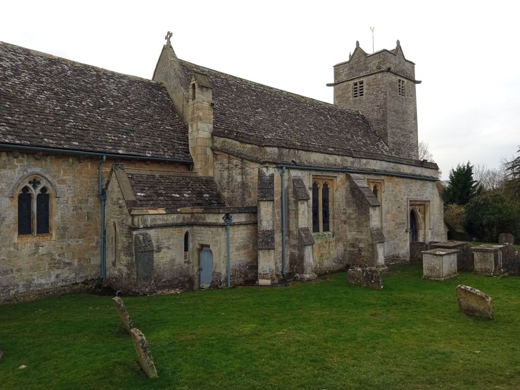
Where is St Mary Churchyard?
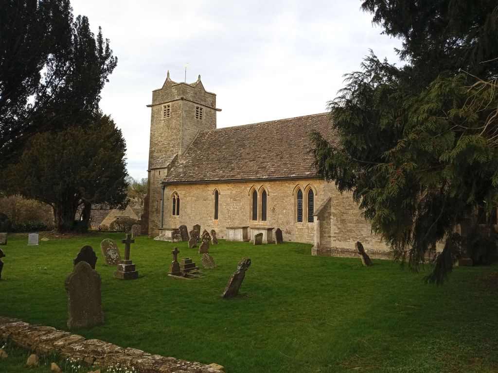
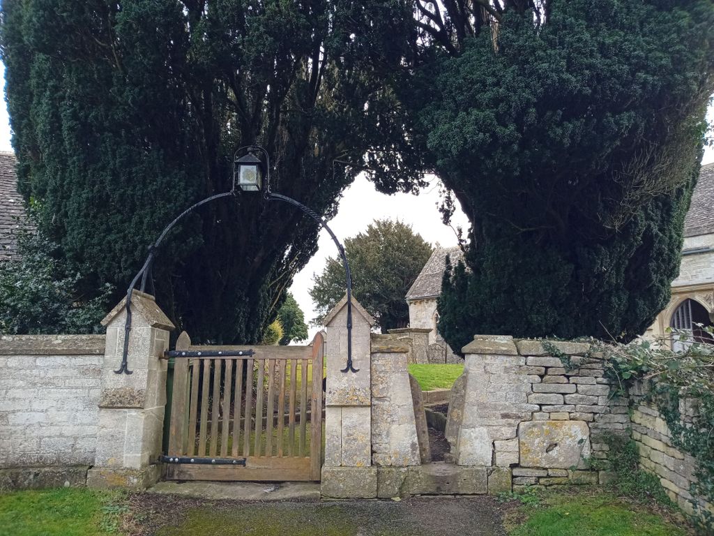
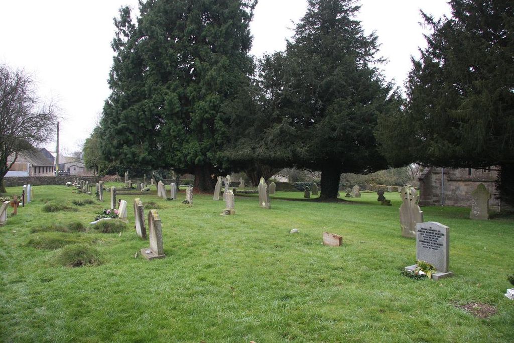
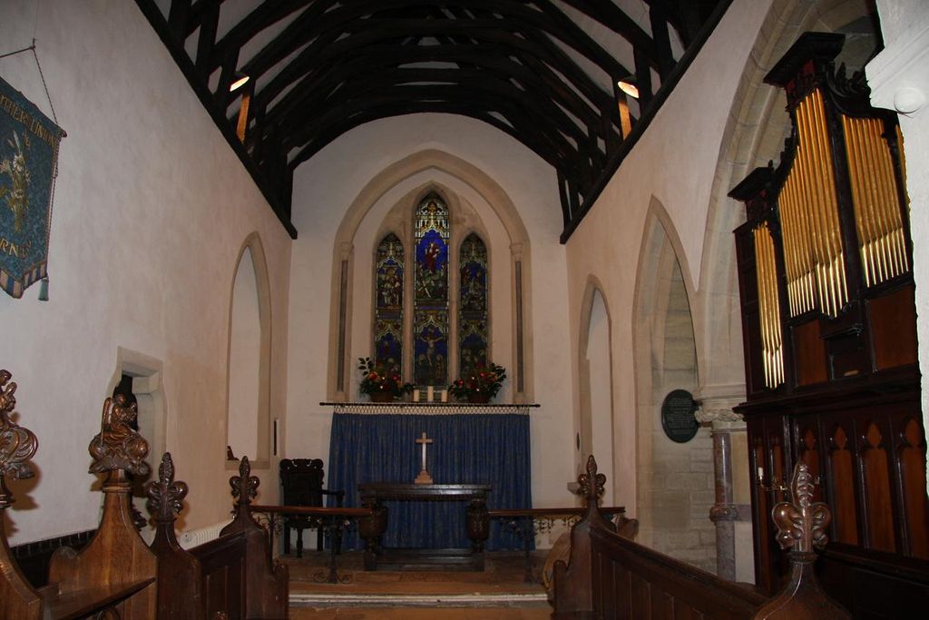
St Mary Churchyard is located at Barnsley, Cotswold District ,Gloucestershire ,England.
-
St Mary Churchyard cemetery's updated grave count on graveviews.com?
0 memorials
-
Where are the coordinates of the St Mary Churchyard?
Latitude: 51.7445030
Longitude: -1.8894860
Nearby Cemetories:
1. Ampney St Peter Churchyard
Ampney St Peter, Cotswold District, England
Coordinate: 51.7126320, -1.8918160
2. Ampney St. Mary Parish Churchyard
Ampney St Mary, Cotswold District, England
Coordinate: 51.7125000, -1.8919000
3. St. Mary the Virgin Churchyard
Bibury, Cotswold District, England
Coordinate: 51.7587037, -1.8376852
4. Poulton Priory
Poulton, Cotswold District, England
Coordinate: 51.6989750, -1.8638940
5. St Mary Magdalene Churchyard
Baunton, Cotswold District, England
Coordinate: 51.7400511, -1.9692225
6. St. John the Baptist Churchyard
Cirencester, Cotswold District, England
Coordinate: 51.7175600, -1.9678580
7. All Saints Churchyard
North Cerney, Cotswold District, England
Coordinate: 51.7687300, -1.9746800
8. St. John the Baptist Churchyard
Coln St Aldwyns, Cotswold District, England
Coordinate: 51.7447000, -1.7928600
9. Stratton Cemetery
Cirencester, Cotswold District, England
Coordinate: 51.7353020, -1.9859041
10. Chesterton Cemetery
Cirencester, Cotswold District, England
Coordinate: 51.7099230, -1.9801340
11. St Andrews
Chedworth, Cotswold District, England
Coordinate: 51.8078450, -1.9259590
12. St. Nicholas' Churchyard
Hatherop, Cotswold District, England
Coordinate: 51.7443000, -1.7786600
13. St. Nicholas Churchyard
Hatherop, Cotswold District, England
Coordinate: 51.7444700, -1.7780800
14. All Hallows Churchyard
South Cerney, Cotswold District, England
Coordinate: 51.6748248, -1.9292083
15. St. Mary the Virgin Churchyard
Fairford, Cotswold District, England
Coordinate: 51.7088500, -1.7814600
16. All Saints Churchyard
Down Ampney, Cotswold District, England
Coordinate: 51.6674850, -1.8592640
17. St. Thomas Churchyard
Fairford, Cotswold District, England
Coordinate: 51.7028776, -1.7801562
18. SS Peter & Paul
Northleach, Cotswold District, England
Coordinate: 51.8295720, -1.8390300
19. St Peter Churchyard
Duntisbourne Abbots, Cotswold District, England
Coordinate: 51.7694080, -2.0438190
20. St Matthew Churchyard
Coates, Cotswold District, England
Coordinate: 51.7077470, -2.0411010
21. Holy Cross Churchyard
Ashton Keynes, Wiltshire Unitary Authority, England
Coordinate: 51.6479000, -1.9394000
22. Parish Church of St. Mary
Castle Eaton, Swindon Unitary Authority, England
Coordinate: 51.6624180, -1.7896647
23. St. Mary's Churchyard
Cricklade, Wiltshire Unitary Authority, England
Coordinate: 51.6435624, -1.8553451
24. Cricklade Cemetery
Cricklade, Wiltshire Unitary Authority, England
Coordinate: 51.6414360, -1.8605570