
| Memorials | : | 0 |
| Location | : | Bibury, Cotswold District, England |
| Coordinate | : | 51.7587037, -1.8376852 |
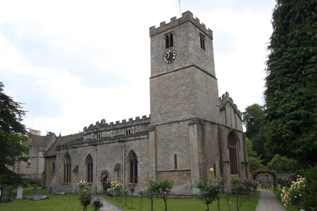
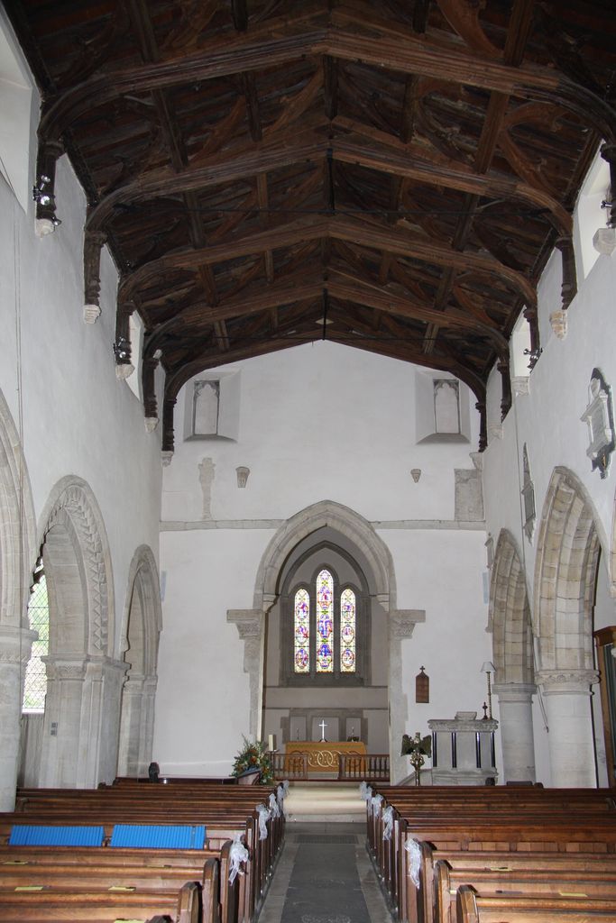
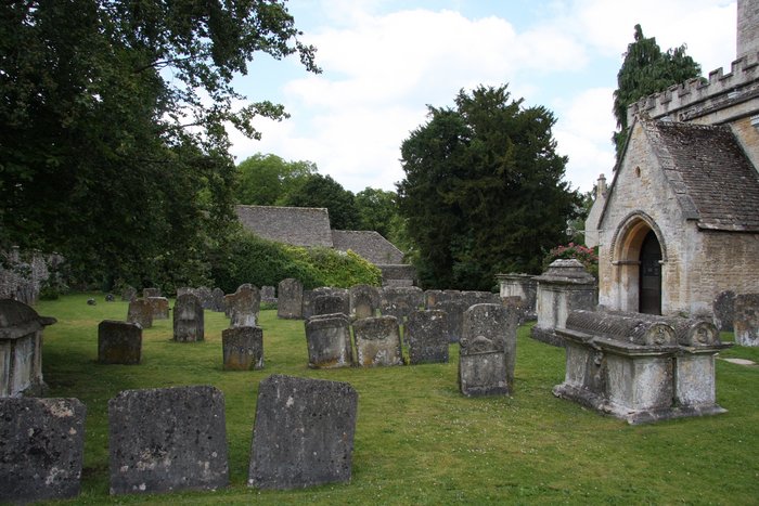
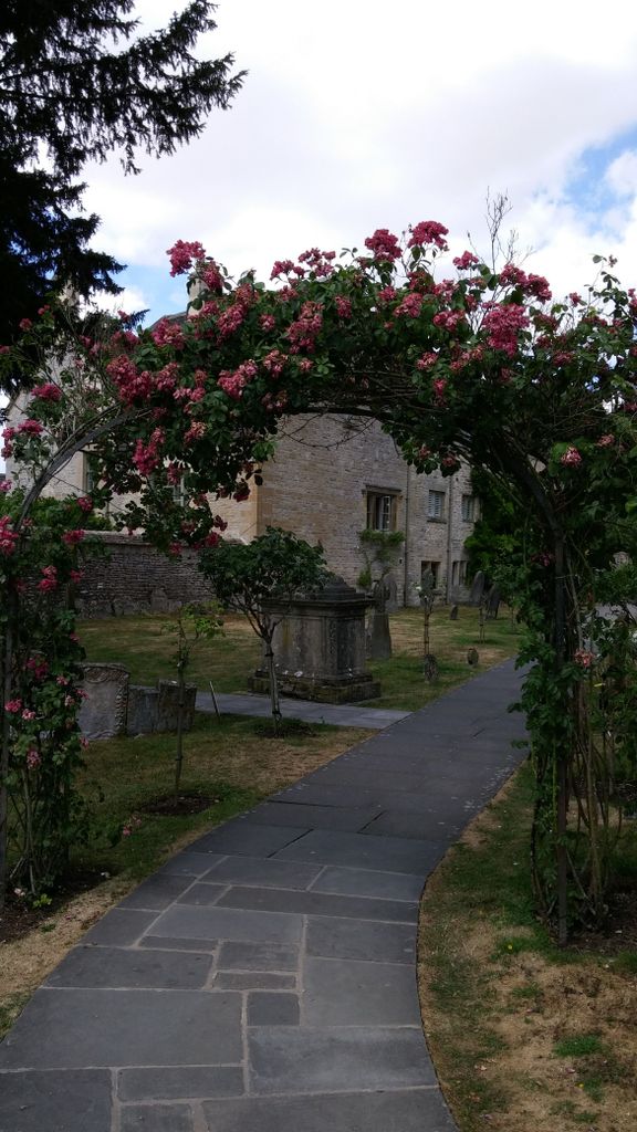
| Description | : | The Anglican Church of St Mary at Bibury is in the Cotswold District of Gloucestershire, England. While the first church in Bibury was established in 899, the Anglo-Saxon church was built in the middle to late 11th century with further work in subsequent centuries. It is a grade I listed building. The church was the property of Osney Abbey until the dissolution of the monasteries. There is a Saxon stone grave slab that has been incorporated into the north wall, while four similar Saxon slabs were given to the British Museum. A Victorian restoration was undertaken in 1863 by George... Read More |
frequently asked questions (FAQ):
-
Where is St. Mary the Virgin Churchyard?
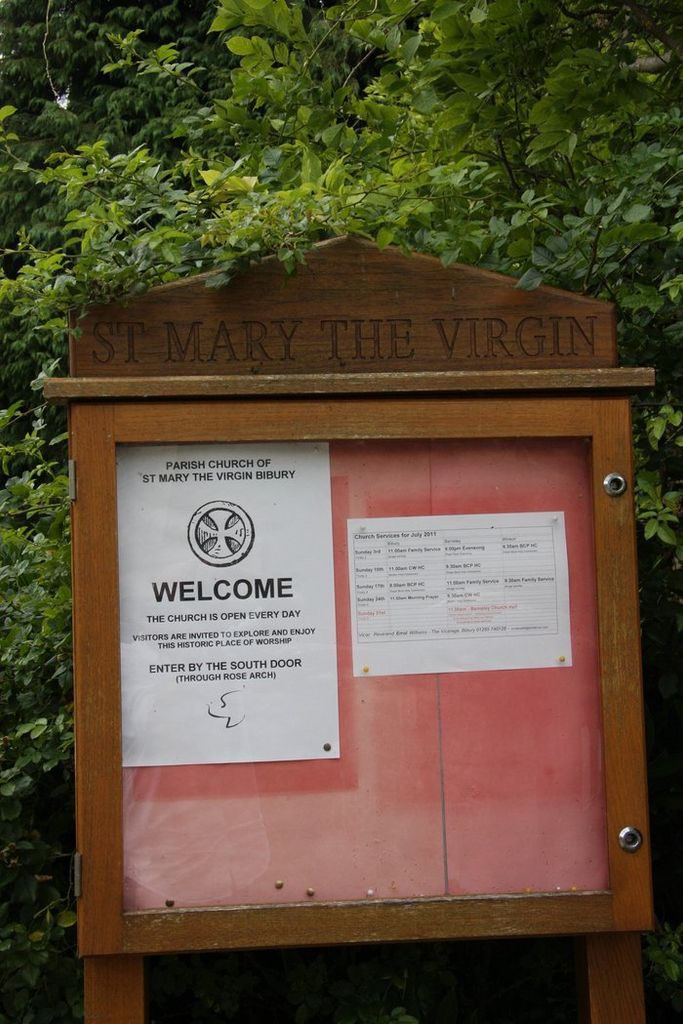
St. Mary the Virgin Churchyard is located at Cemetry Road Bibury, Cotswold District ,Gloucestershire , GL7 5NREngland.
-
St. Mary the Virgin Churchyard cemetery's updated grave count on graveviews.com?
0 memorials
-
Where are the coordinates of the St. Mary the Virgin Churchyard?
Latitude: 51.7587037
Longitude: -1.8376852
Nearby Cemetories:
1. St. John the Baptist Churchyard
Coln St Aldwyns, Cotswold District, England
Coordinate: 51.7447000, -1.7928600
2. St Mary Churchyard
Barnsley, Cotswold District, England
Coordinate: 51.7445030, -1.8894860
3. St. Nicholas' Churchyard
Hatherop, Cotswold District, England
Coordinate: 51.7443000, -1.7786600
4. St. Nicholas Churchyard
Hatherop, Cotswold District, England
Coordinate: 51.7444700, -1.7780800
5. Ampney St Peter Churchyard
Ampney St Peter, Cotswold District, England
Coordinate: 51.7126320, -1.8918160
6. Ampney St. Mary Parish Churchyard
Ampney St Mary, Cotswold District, England
Coordinate: 51.7125000, -1.8919000
7. St. Mary the Virgin Churchyard
Fairford, Cotswold District, England
Coordinate: 51.7088500, -1.7814600
8. Poulton Priory
Poulton, Cotswold District, England
Coordinate: 51.6989750, -1.8638940
9. St. Thomas Churchyard
Fairford, Cotswold District, England
Coordinate: 51.7028776, -1.7801562
10. SS Peter & Paul
Northleach, Cotswold District, England
Coordinate: 51.8295720, -1.8390300
11. St Andrews
Chedworth, Cotswold District, England
Coordinate: 51.8078450, -1.9259590
12. St. Andrew's Churchyard
Eastleach, Cotswold District, England
Coordinate: 51.7465120, -1.7087670
13. St Mary Magdalene Churchyard
Baunton, Cotswold District, England
Coordinate: 51.7400511, -1.9692225
14. All Saints Churchyard
North Cerney, Cotswold District, England
Coordinate: 51.7687300, -1.9746800
15. St Mary Magdalene Churchyard
Sherborne, Cotswold District, England
Coordinate: 51.8308380, -1.7562570
16. Sherborne Churchyard extension
Sherborne, Cotswold District, England
Coordinate: 51.8308450, -1.7536600
17. St. John the Baptist Churchyard
Cirencester, Cotswold District, England
Coordinate: 51.7175600, -1.9678580
18. All Saints Churchyard
Down Ampney, Cotswold District, England
Coordinate: 51.6674850, -1.8592640
19. Stratton Cemetery
Cirencester, Cotswold District, England
Coordinate: 51.7353020, -1.9859041
20. All Saints Churchyard
Turkdean, Cotswold District, England
Coordinate: 51.8554710, -1.8456120
21. Parish Church of St. Mary
Castle Eaton, Swindon Unitary Authority, England
Coordinate: 51.6624180, -1.7896647
22. Chesterton Cemetery
Cirencester, Cotswold District, England
Coordinate: 51.7099230, -1.9801340
23. All Hallows Churchyard
South Cerney, Cotswold District, England
Coordinate: 51.6748248, -1.9292083
24. St. Mary's Churchyard
Kempsford, Cotswold District, England
Coordinate: 51.6670420, -1.7681363