
| Memorials | : | 0 |
| Location | : | Holly Springs, Blount County, USA |
| Coordinate | : | 33.8307991, -86.4931030 |
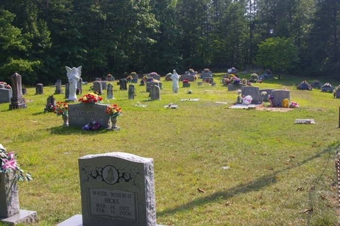
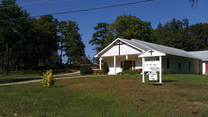
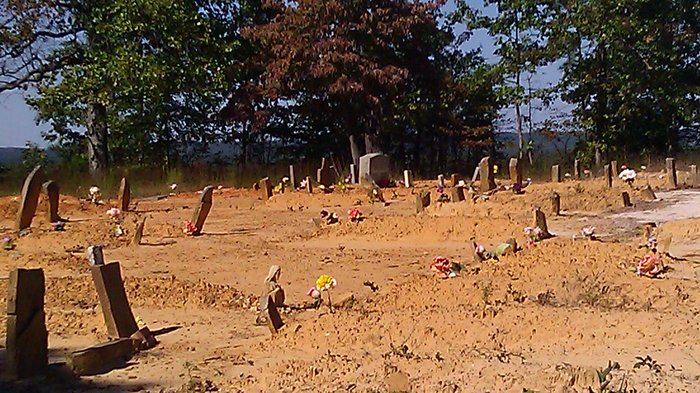
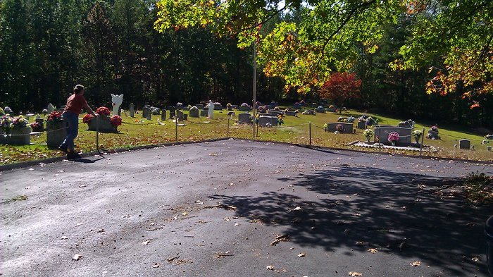
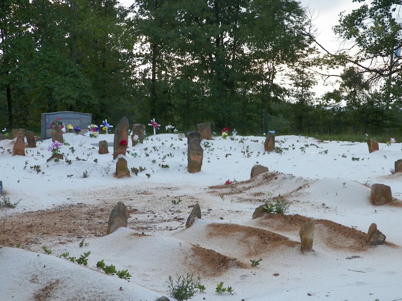
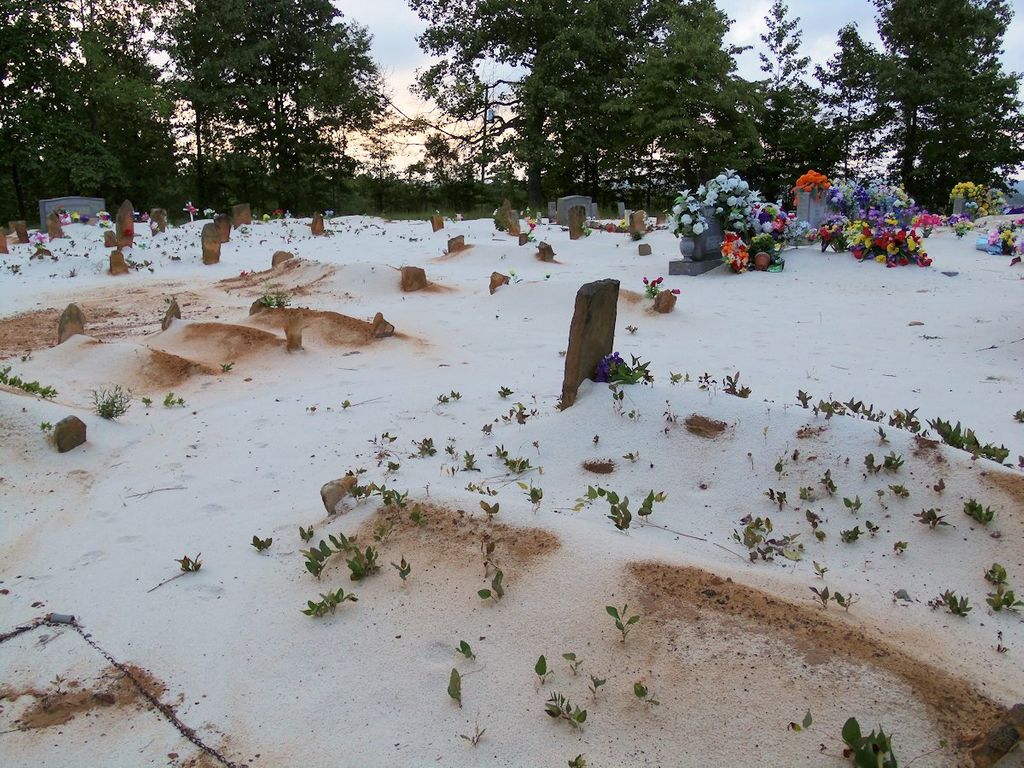
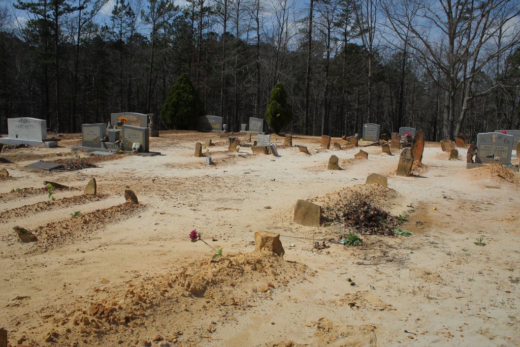
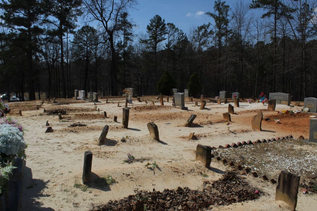
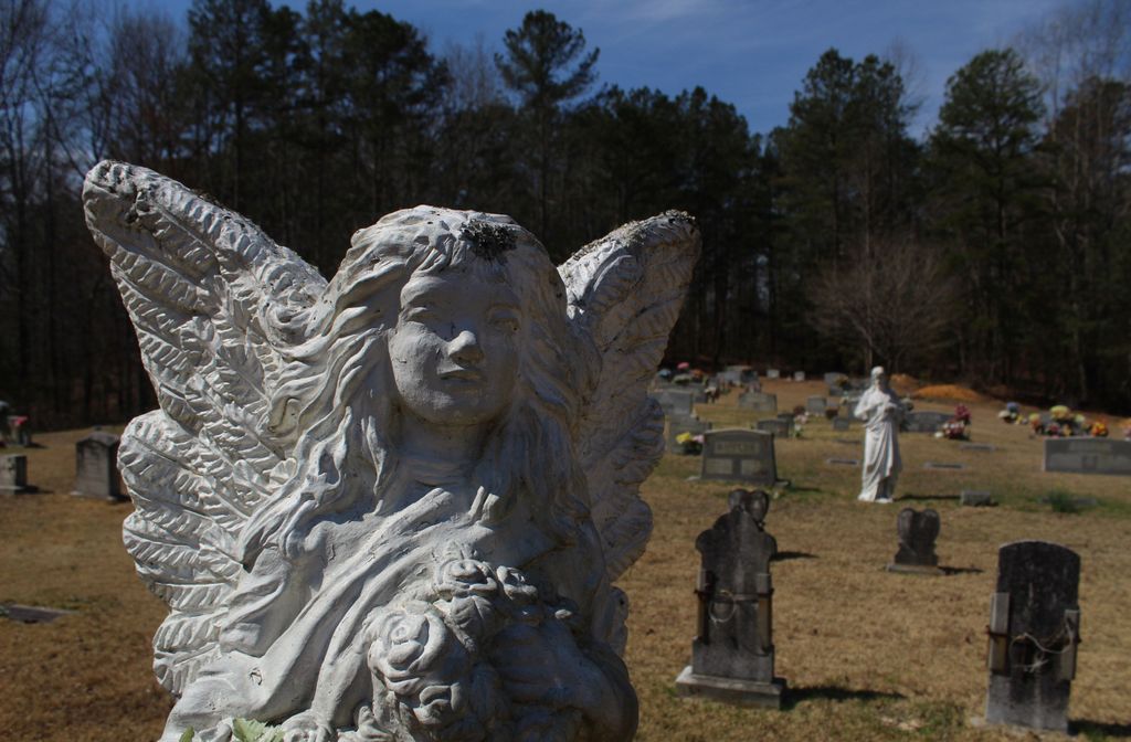
| Description | : | The church and cemetery is located one mile northwest of the community of Holly Springs, off County Road 27, Blount County (near the St. Clair County line). It is divided into two sections; one section being on a hilltop a few yards northwest of the church, the lower part is across the road in front of the church. |
frequently asked questions (FAQ):
-
Where is New Hope Methodist Church Cemetery?
New Hope Methodist Church Cemetery is located at Holly Springs, Blount County ,Alabama ,USA.
-
New Hope Methodist Church Cemetery cemetery's updated grave count on graveviews.com?
0 memorials
-
Where are the coordinates of the New Hope Methodist Church Cemetery?
Latitude: 33.8307991
Longitude: -86.4931030
Nearby Cemetories:
1. County Line Cemetery
Pine Mountain, Blount County, USA
Coordinate: 33.8127370, -86.5184610
2. Hooper Cemetery
St. Clair County, USA
Coordinate: 33.8081017, -86.4697037
3. Springville Cemetery
Springville, St. Clair County, USA
Coordinate: 33.7795400, -86.4720630
4. Mount Zion Cemetery
Springville, St. Clair County, USA
Coordinate: 33.7774530, -86.4594680
5. Lees Chapel Cemetery
Pine Mountain, Blount County, USA
Coordinate: 33.8037682, -86.5629196
6. Pleasant Mount Cemetery
St. Clair County, USA
Coordinate: 33.8007090, -86.5648610
7. Hulletts Chapel Cemetery
Springville, St. Clair County, USA
Coordinate: 33.7662410, -86.5159670
8. Pine Mountain Baptist Church Cemetery
Rainbow City, Etowah County, USA
Coordinate: 33.8096860, -86.5700600
9. Fuller Cemetery
Springville, St. Clair County, USA
Coordinate: 33.7647018, -86.4775009
10. Clear Springs Cemetery
Allgood, Blount County, USA
Coordinate: 33.8642006, -86.5642014
11. Red Hill Baptist Church Cemetery
Springville, St. Clair County, USA
Coordinate: 33.7823610, -86.4296010
12. Shiloh Cemetery
Chepultepec, Blount County, USA
Coordinate: 33.9068413, -86.4983673
13. Truss-Bradford Cemetery
Springville, St. Clair County, USA
Coordinate: 33.7507840, -86.4924000
14. Tidwell Cemetery
Allgood, Blount County, USA
Coordinate: 33.9141998, -86.5109024
15. Straight Mountain Mennonite Church Cemetery
St. Clair County, USA
Coordinate: 33.8479740, -86.3921190
16. Remlap Methodist Church Cemetery
Remlap, Blount County, USA
Coordinate: 33.8182983, -86.5991974
17. Clements Family Cemetery #2
Straight Mountain, Blount County, USA
Coordinate: 33.8888092, -86.4074402
18. Pierce-Braden Cemetery
Odenville, St. Clair County, USA
Coordinate: 33.7532590, -86.4330390
19. Straight Mountain Memory Gardens
Oneonta, Blount County, USA
Coordinate: 33.8735008, -86.3942032
20. Crump Cemetery
Blount County, USA
Coordinate: 33.8880997, -86.5813980
21. Fosters Chapel Cemetery
Straight Mountain, Blount County, USA
Coordinate: 33.8884964, -86.4051132
22. Pleasant Hill United Methodist Church Cemetery
Springville, St. Clair County, USA
Coordinate: 33.8202900, -86.3780600
23. William Cornelius Cemetery
Blount County, USA
Coordinate: 33.9302559, -86.5061798
24. Mardis Cemetery
St. Clair County, USA
Coordinate: 33.7542000, -86.4088974