
| Memorials | : | 3140 |
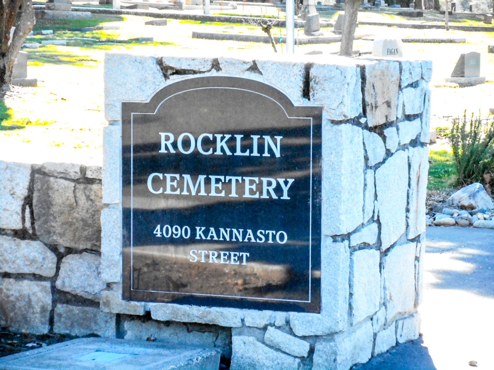
| Location | : | Rocklin, Placer County, USA |
| Coordinate | : | 38.7827670, -121.2337980 |
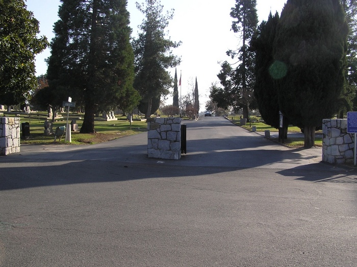
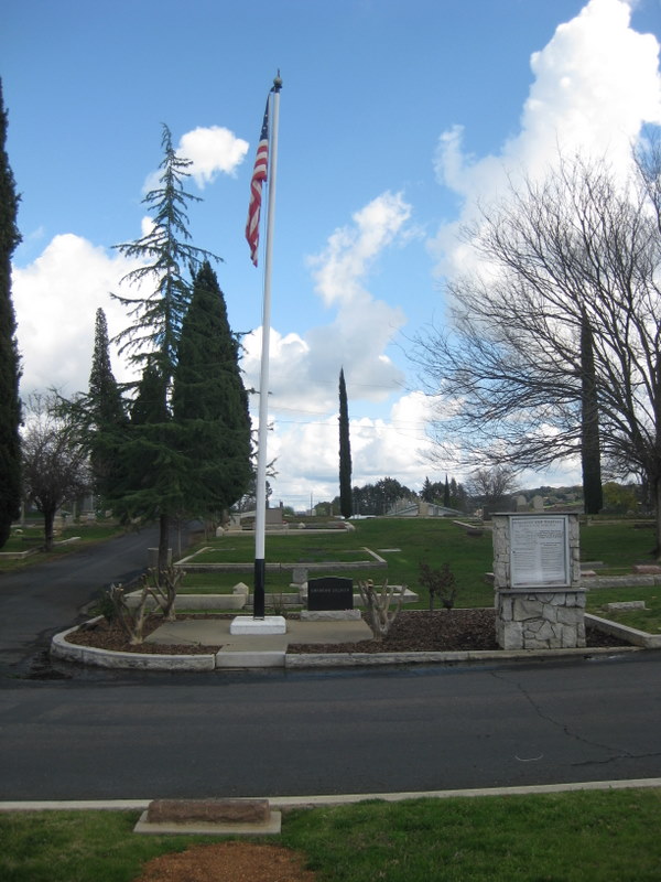
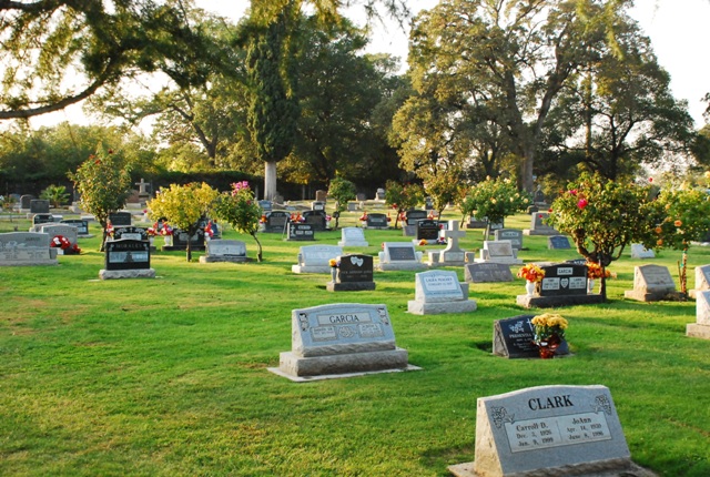
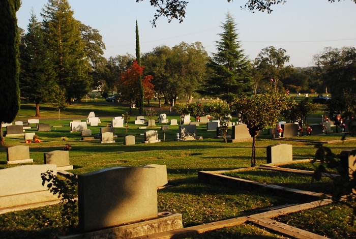
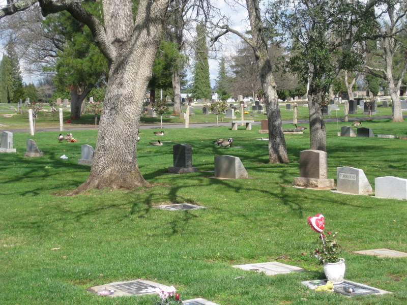
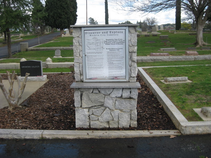
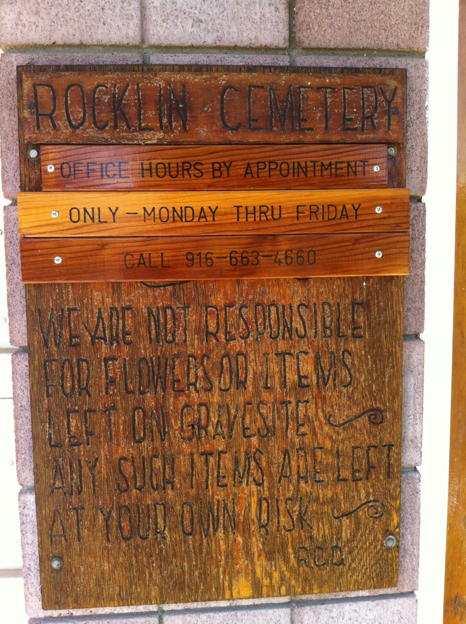
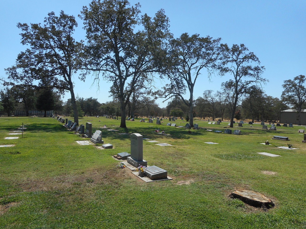
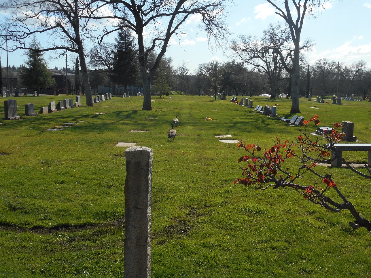
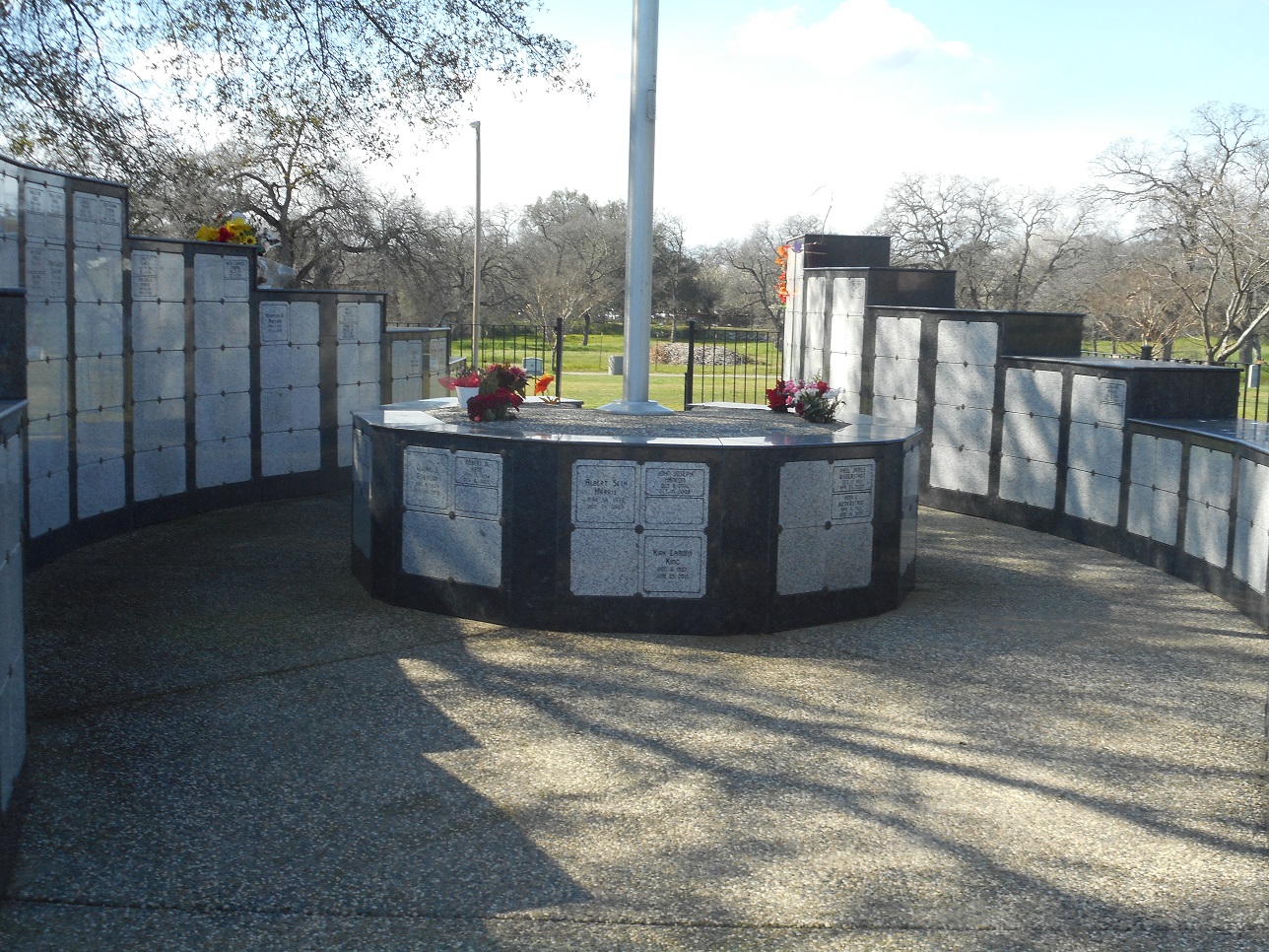
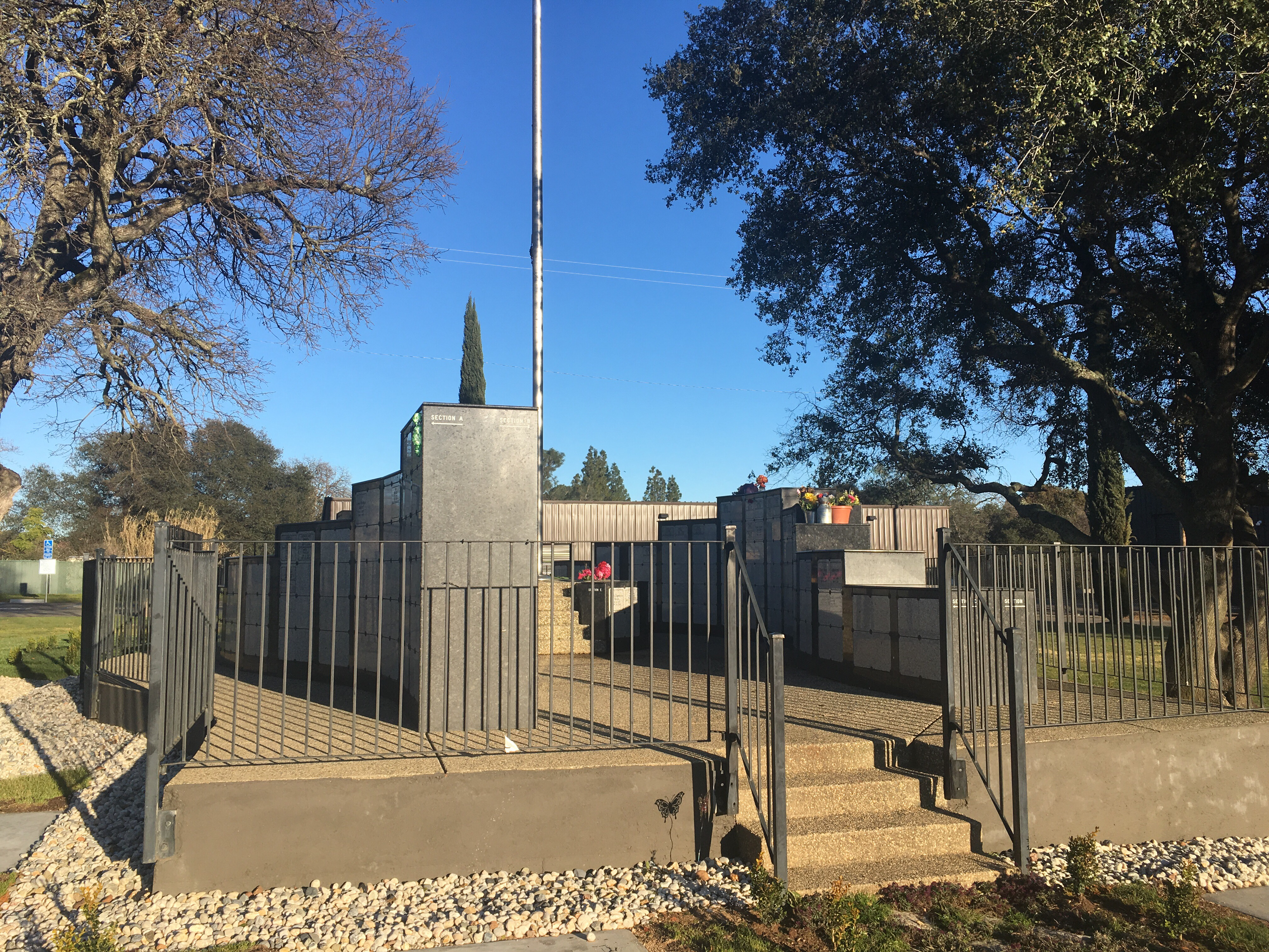
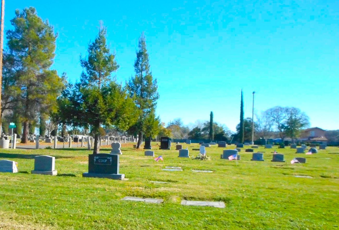
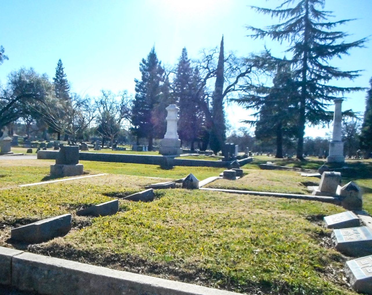
| Description | : | Rocklin Cemetery's earliest burials date back to the Gold Rush era of the 1850's; miners worked the Secret Ravine area (across Hwy 80) which is in close proximity to the burial grounds. In the early years the cemetery's land was state owned. In 1889 the burial grounds were granted to the Masons and Oddfellows Lodge, and then forty years later in 1929 the grounds became part of a public cemetery district in Placer County. There have been approximately 4,500 recorded burials at the cemetery since the 1850's. The names of the older tombstones reflect the... Read More |
frequently asked questions (FAQ):
-
Where is Rocklin Cemetery?
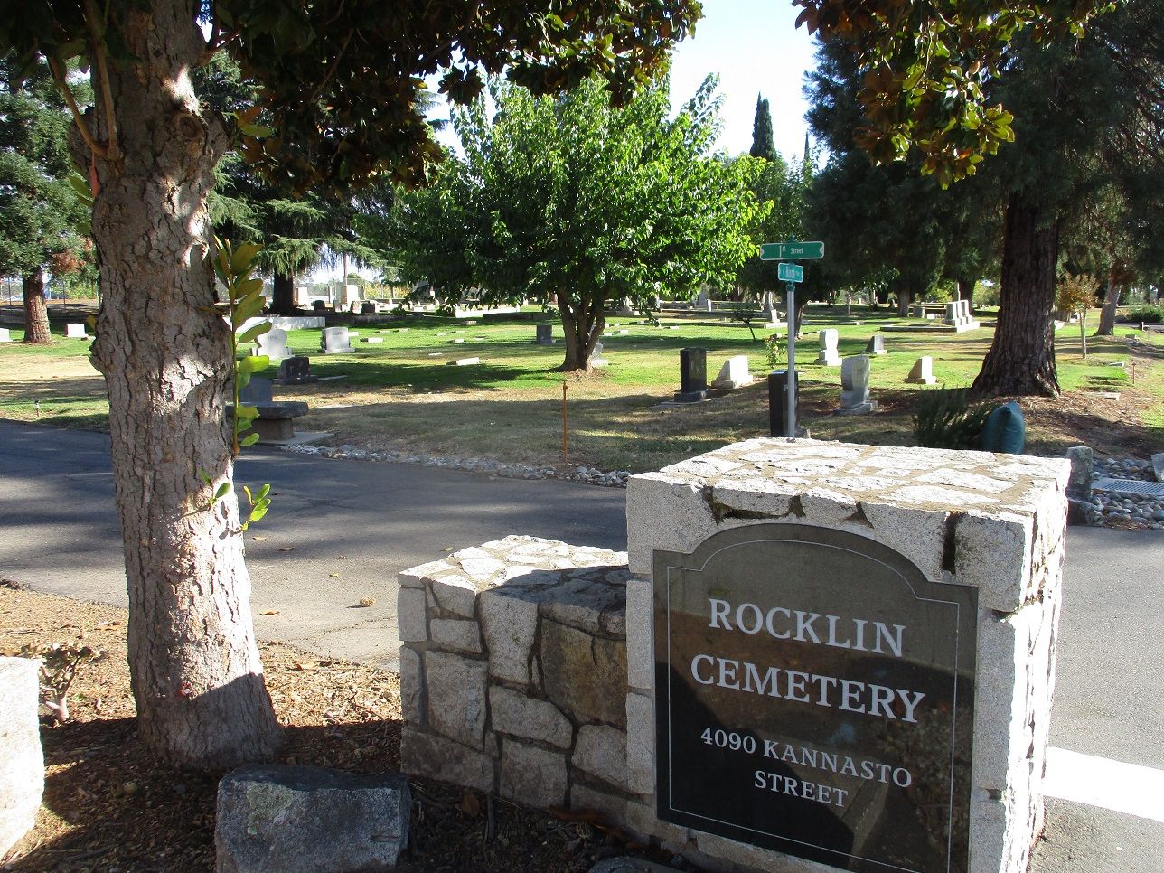
Rocklin Cemetery is located at 4090 Kannasto Street Rocklin, Placer County ,California , 95677USA.
-
Rocklin Cemetery cemetery's updated grave count on graveviews.com?
3140 memorials
-
Where are the coordinates of the Rocklin Cemetery?
Latitude: 38.7827670
Longitude: -121.2337980
Nearby Cemetories:
1. Shepherd of the Sierra Memorial Garden
Loomis, Placer County, USA
Coordinate: 38.7890800, -121.1944200
2. Roseville Public Cemetery District
Roseville, Placer County, USA
Coordinate: 38.7606010, -121.2707977
3. Boothill Cemetery
Roseville, Placer County, USA
Coordinate: 38.7598730, -121.2712130
4. Whitney Family Mausoleum
Rocklin, Placer County, USA
Coordinate: 38.8256500, -121.2477000
5. Prosser Family Cemetery
Loomis, Placer County, USA
Coordinate: 38.8071900, -121.1285600
6. Stewarts Flat Cemetery
Penryn, Placer County, USA
Coordinate: 38.8447360, -121.1507950
7. Mansur Family Cemetery
Loomis, Placer County, USA
Coordinate: 38.8139600, -121.1214000
8. Sylvan Cemetery
Citrus Heights, Sacramento County, USA
Coordinate: 38.7001534, -121.2904587
9. School House Park Cemetery
Roseville, Placer County, USA
Coordinate: 38.7893180, -121.3578670
10. Folsom Prison Cemetery
Folsom, Sacramento County, USA
Coordinate: 38.6952860, -121.1636690
11. Mount Vernon Memorial Park
Fair Oaks, Sacramento County, USA
Coordinate: 38.6800003, -121.2566986
12. Newcastle Cemetery
Newcastle, Placer County, USA
Coordinate: 38.8708880, -121.1444060
13. Calvary Catholic Cemetery and Mausoleum
Sacramento, Sacramento County, USA
Coordinate: 38.6937180, -121.3233109
14. Young Wo Cemetery
Folsom, Sacramento County, USA
Coordinate: 38.6733400, -121.1835000
15. Lincoln Cemetery
Lincoln, Placer County, USA
Coordinate: 38.8864310, -121.3020500
16. Rattlesnake Bar Graveyard
Auburn, Placer County, USA
Coordinate: 38.8163050, -121.0895100
17. Lakeside Memorial Lawn Cemetery
Folsom, Sacramento County, USA
Coordinate: 38.6715300, -121.1841000
18. Saint John the Baptist Catholic Church Cemetery
Folsom, Sacramento County, USA
Coordinate: 38.6721900, -121.1803000
19. F.O.E. 929 Cemetery
Folsom, Sacramento County, USA
Coordinate: 38.6717010, -121.1801010
20. China Mission-Chung Wah Chinese Cemetery
Folsom, Sacramento County, USA
Coordinate: 38.6698410, -121.1851790
21. Sierra Hills Pet Cemetery
Sacramento, Sacramento County, USA
Coordinate: 38.6863500, -121.3305300
22. Sierra Hills Memorial Park
Sacramento, Sacramento County, USA
Coordinate: 38.6843987, -121.3281021
23. Gold Hill Cemetery
Gold Hill, Placer County, USA
Coordinate: 38.9025000, -121.1802200
24. Mormon Island Relocation Cemetery
El Dorado Hills, El Dorado County, USA
Coordinate: 38.6986084, -121.1093521