
| Memorials | : | 3549 |
| Location | : | Lincoln, Placer County, USA |
| Phone | : | 916-645-2475 |
| Coordinate | : | 38.8864310, -121.3020500 |
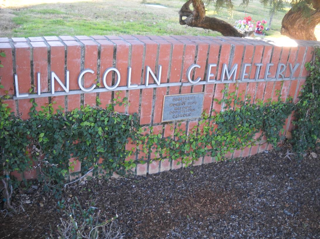
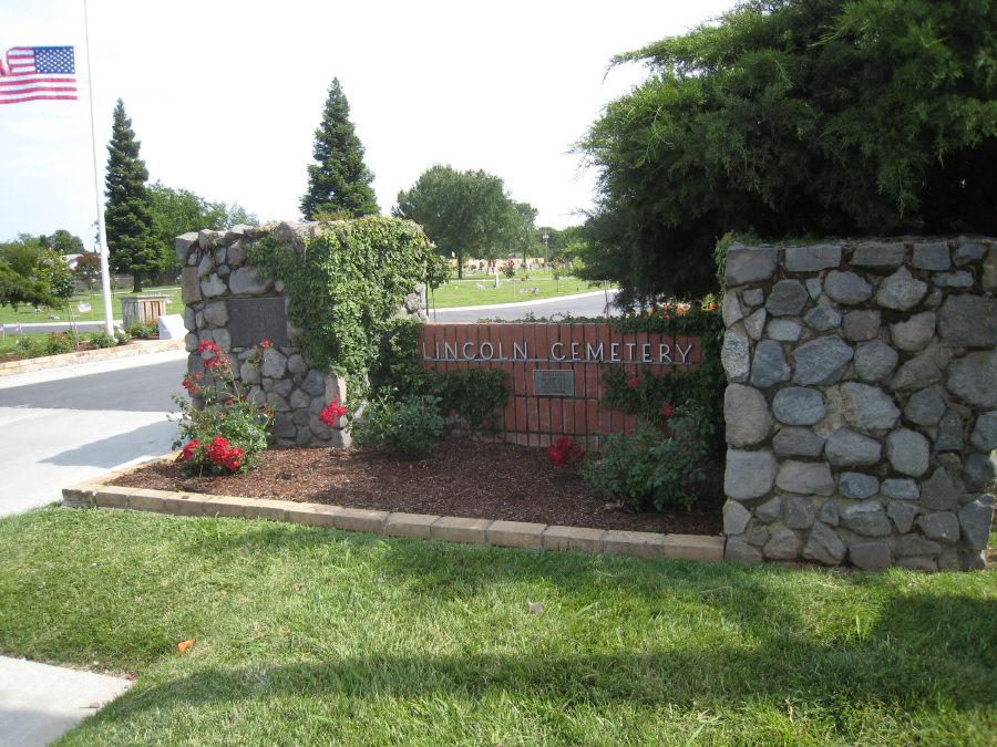
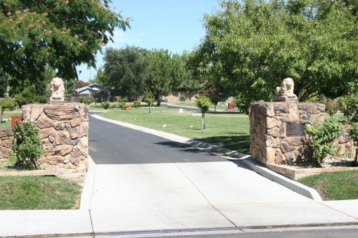
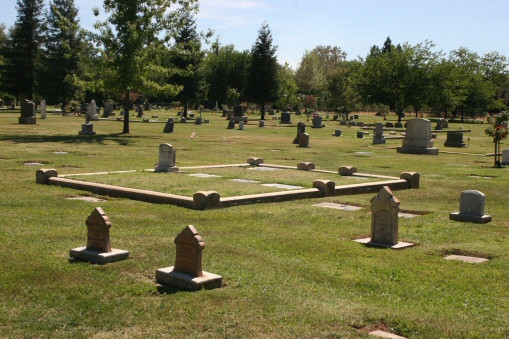
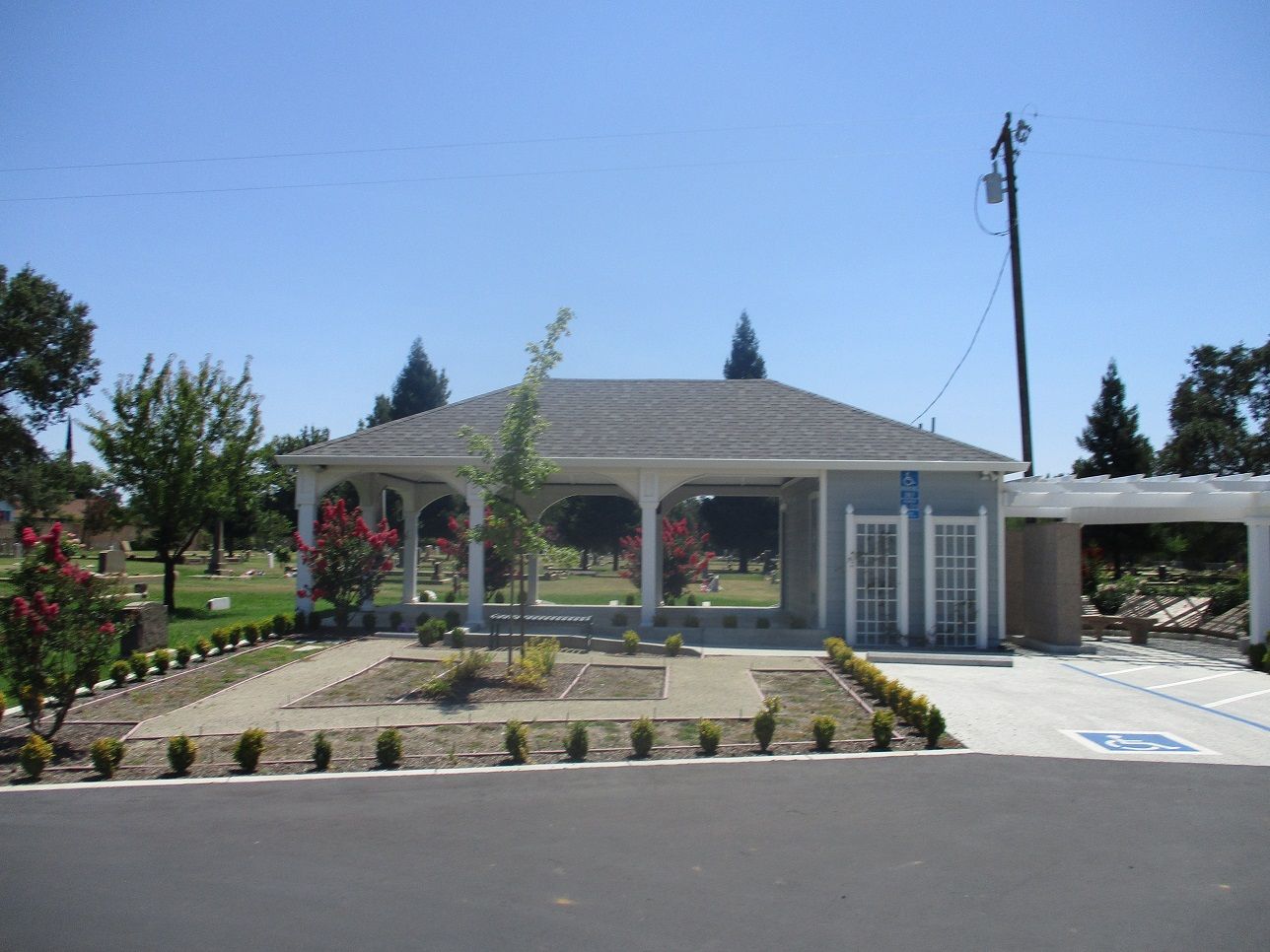
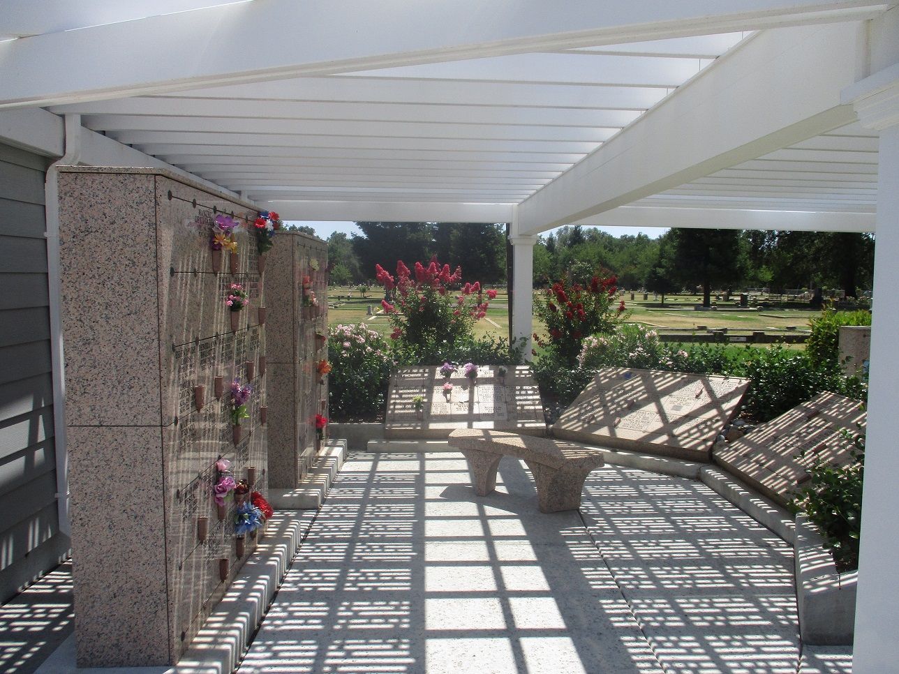
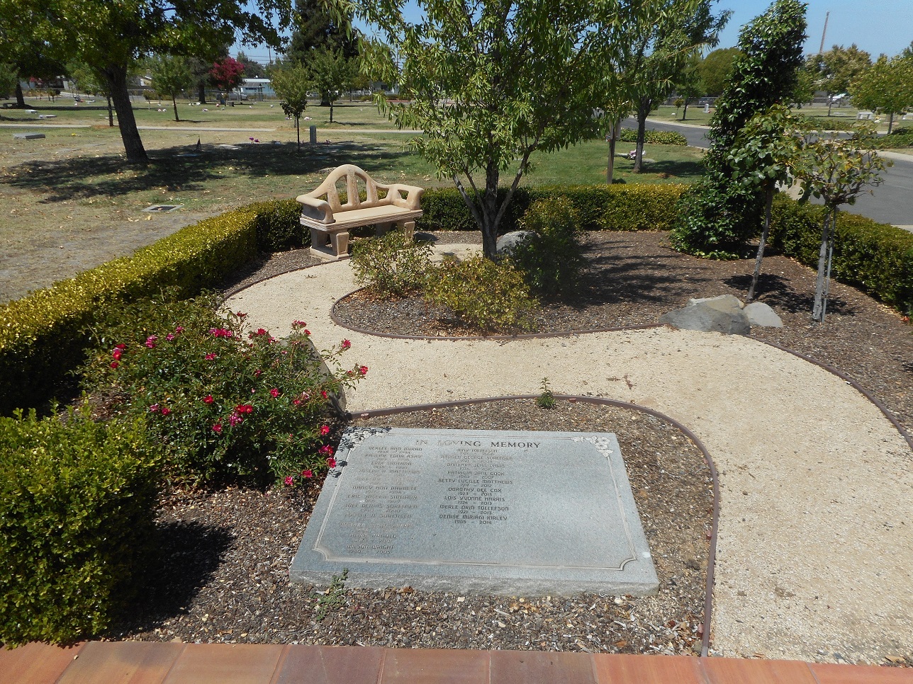
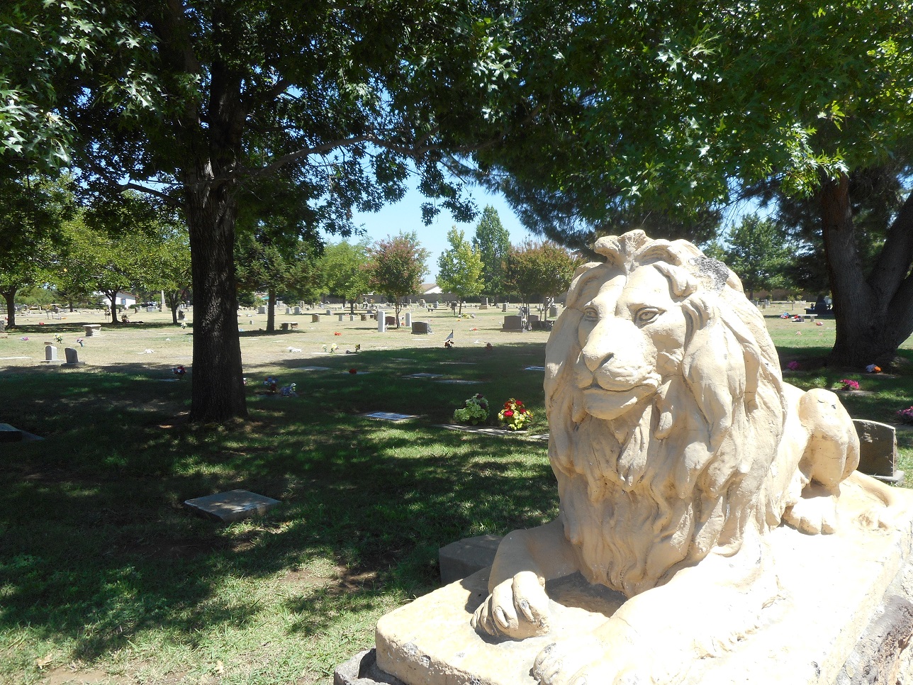
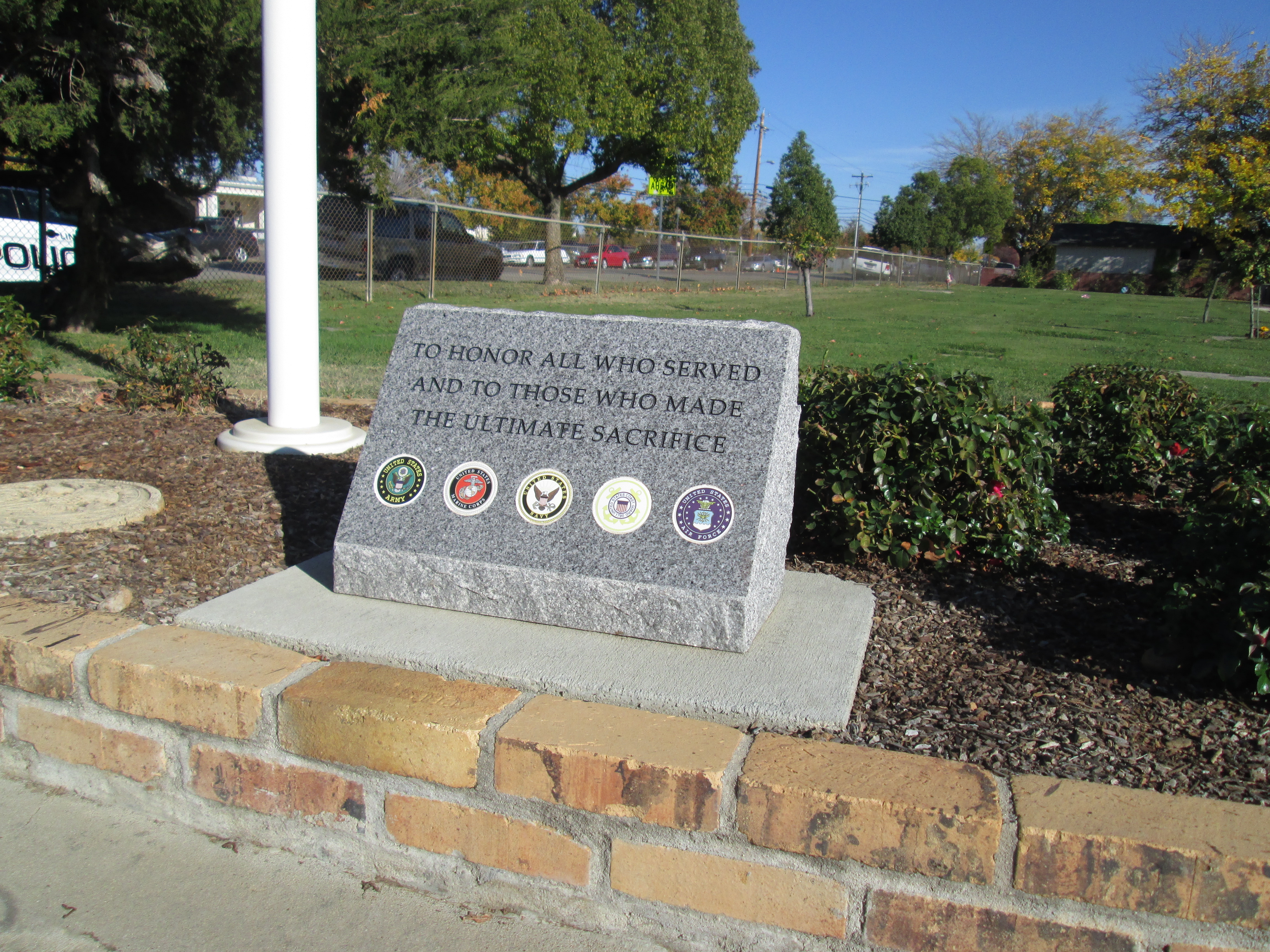
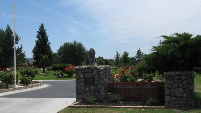
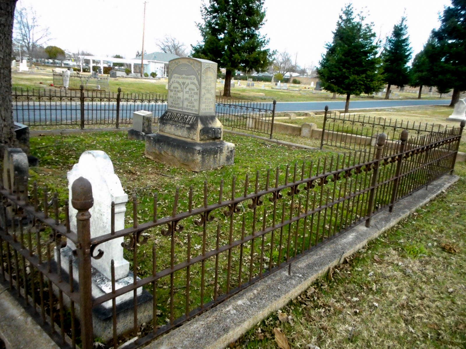
| Description | : | The first burials at Lincoln Cemetery were in the 1850's in the aftermath of the Gold Rush to California. For many years the cemetery was divided into sections for fraternal organizations (Oddfellows and Masonic), the Catholic cemetery, and the Women's Club section. These were incorporated between the 1920's and the 1950's into Lincoln Cemetery located at 1445 1st Street in the city of Lincoln. The Placer County Cemetery District # 1 maintains Lincoln Cemetery, Sheridan, Manzanita, and Santa Clara Memorial Park for the residents and taxpayers of that district. The office for all these cemeteries is... Read More |
frequently asked questions (FAQ):
-
Where is Lincoln Cemetery?
Lincoln Cemetery is located at 1445 1st Street Lincoln, Placer County ,California , 95648USA.
-
Lincoln Cemetery cemetery's updated grave count on graveviews.com?
3549 memorials
-
Where are the coordinates of the Lincoln Cemetery?
Latitude: 38.8864310
Longitude: -121.3020500
Nearby Cemetories:
1. Santa Clara Memorial Park
Lincoln, Placer County, USA
Coordinate: 38.8894710, -121.3260560
2. Manzanita Cemetery
Lincoln, Placer County, USA
Coordinate: 38.9444008, -121.3032990
3. Whitney Family Mausoleum
Rocklin, Placer County, USA
Coordinate: 38.8256500, -121.2477000
4. Morgan Oaks Eternal Preserve
Lincoln, Placer County, USA
Coordinate: 38.9629050, -121.2860530
5. Gold Hill Cemetery
Gold Hill, Placer County, USA
Coordinate: 38.9025000, -121.1802200
6. Sheridan Cemetery
Sheridan, Placer County, USA
Coordinate: 38.9741000, -121.3585300
7. School House Park Cemetery
Roseville, Placer County, USA
Coordinate: 38.7893180, -121.3578670
8. Rocklin Cemetery
Rocklin, Placer County, USA
Coordinate: 38.7827670, -121.2337980
9. Newcastle Cemetery
Newcastle, Placer County, USA
Coordinate: 38.8708880, -121.1444060
10. Stewarts Flat Cemetery
Penryn, Placer County, USA
Coordinate: 38.8447360, -121.1507950
11. Roseville Public Cemetery District
Roseville, Placer County, USA
Coordinate: 38.7606010, -121.2707977
12. Shepherd of the Sierra Memorial Garden
Loomis, Placer County, USA
Coordinate: 38.7890800, -121.1944200
13. Boothill Cemetery
Roseville, Placer County, USA
Coordinate: 38.7598730, -121.2712130
14. Ophir Cemetery
Placer County, USA
Coordinate: 38.8928870, -121.1273790
15. Lone Star Cemetery
Placer County, USA
Coordinate: 38.9757996, -121.1380997
16. Camp Far West Cemetery
Wheatland, Yuba County, USA
Coordinate: 39.0395500, -121.3431400
17. Prosser Family Cemetery
Loomis, Placer County, USA
Coordinate: 38.8071900, -121.1285600
18. Mansur Family Cemetery
Loomis, Placer County, USA
Coordinate: 38.8139600, -121.1214000
19. Wheatland Cemetery
Wheatland, Yuba County, USA
Coordinate: 39.0083008, -121.4360962
20. New Auburn Cemetery
Auburn, Placer County, USA
Coordinate: 38.9026900, -121.0870800
21. Union Cemetery
Roseville, Placer County, USA
Coordinate: 38.7302600, -121.3924200
22. Old Auburn Cemetery
Auburn, Placer County, USA
Coordinate: 38.9023720, -121.0812230
23. Wells Cemetery
Auburn, Placer County, USA
Coordinate: 38.9667000, -121.1054900
24. Maidu Indian Burial Grounds
Auburn, Placer County, USA
Coordinate: 38.8744350, -121.0777290