
| Memorials | : | 172 |
| Location | : | Lincoln, Placer County, USA |
| Coordinate | : | 38.8894710, -121.3260560 |
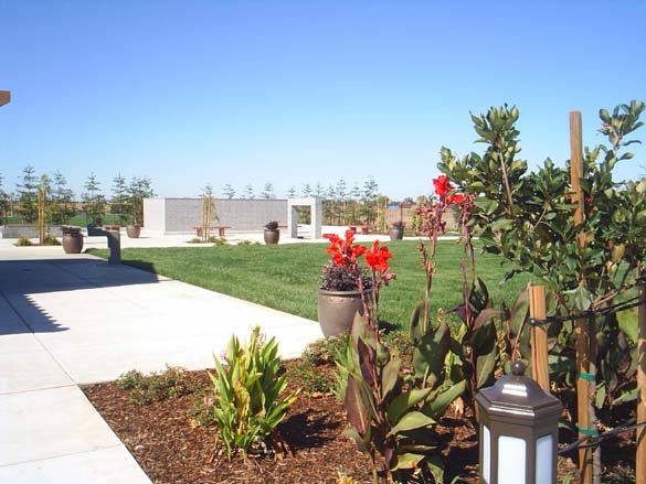
| Description | : | Phone Number: 916-645-2475 Santa Clara Memorial Park opened in 2009. Their office has burial information for the following cemeteries: Sheridan, Manzanita, Lincoln, as well as Santa Clara. If you look at the map and it looks confusing, go to "Satellite" view and zoom in on the location. The marker looks like it is placed on an empty street but where you see the rectangular, empty field to the left is where the cemetery is now located. |
frequently asked questions (FAQ):
-
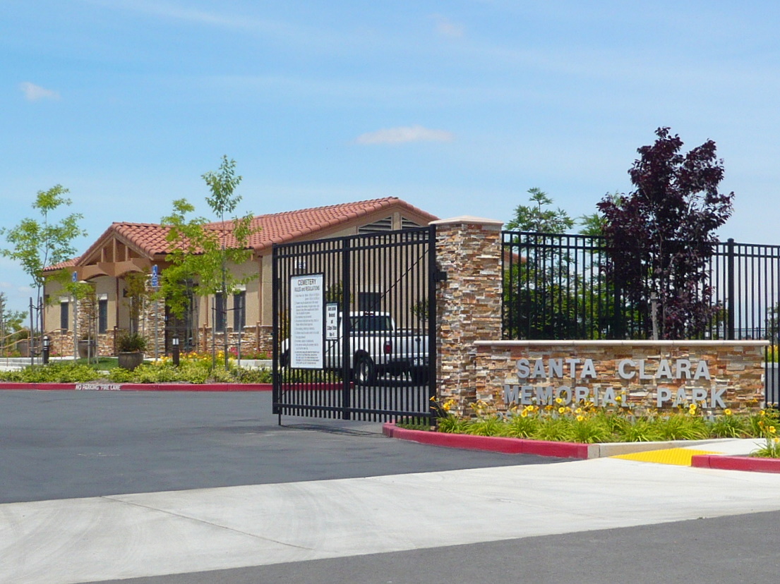
Where is Santa Clara Memorial Park?
Santa Clara Memorial Park is located at 250 Santa Clara Way Lincoln, Placer County ,California , 95648USA.
-
Santa Clara Memorial Park cemetery's updated grave count on graveviews.com?
172 memorials
-
Where are the coordinates of the Santa Clara Memorial Park?
Latitude: 38.8894710
Longitude: -121.3260560

Nearby Cemetories:
1. Lincoln Cemetery
Lincoln, Placer County, USA
Coordinate: 38.8864310, -121.3020500
2. Manzanita Cemetery
Lincoln, Placer County, USA
Coordinate: 38.9444008, -121.3032990
3. Morgan Oaks Eternal Preserve
Lincoln, Placer County, USA
Coordinate: 38.9629050, -121.2860530
4. Whitney Family Mausoleum
Rocklin, Placer County, USA
Coordinate: 38.8256500, -121.2477000
5. Sheridan Cemetery
Sheridan, Placer County, USA
Coordinate: 38.9741000, -121.3585300
6. School House Park Cemetery
Roseville, Placer County, USA
Coordinate: 38.7893180, -121.3578670
7. Gold Hill Cemetery
Gold Hill, Placer County, USA
Coordinate: 38.9025000, -121.1802200
8. Rocklin Cemetery
Rocklin, Placer County, USA
Coordinate: 38.7827670, -121.2337980
9. Roseville Public Cemetery District
Roseville, Placer County, USA
Coordinate: 38.7606010, -121.2707977
10. Boothill Cemetery
Roseville, Placer County, USA
Coordinate: 38.7598730, -121.2712130
11. Newcastle Cemetery
Newcastle, Placer County, USA
Coordinate: 38.8708880, -121.1444060
12. Shepherd of the Sierra Memorial Garden
Loomis, Placer County, USA
Coordinate: 38.7890800, -121.1944200
13. Stewarts Flat Cemetery
Penryn, Placer County, USA
Coordinate: 38.8447360, -121.1507950
14. Wheatland Cemetery
Wheatland, Yuba County, USA
Coordinate: 39.0083008, -121.4360962
15. Camp Far West Cemetery
Wheatland, Yuba County, USA
Coordinate: 39.0395500, -121.3431400
16. Ophir Cemetery
Placer County, USA
Coordinate: 38.8928870, -121.1273790
17. Fairview Cemetery
Rio Oso, Sutter County, USA
Coordinate: 38.9389000, -121.5250015
18. Pleasant Grove Cemetery
Pleasant Grove, Sutter County, USA
Coordinate: 38.8230000, -121.5206900
19. Union Cemetery
Roseville, Placer County, USA
Coordinate: 38.7302600, -121.3924200
20. Lone Star Cemetery
Placer County, USA
Coordinate: 38.9757996, -121.1380997
21. Prosser Family Cemetery
Loomis, Placer County, USA
Coordinate: 38.8071900, -121.1285600
22. Mansur Family Cemetery
Loomis, Placer County, USA
Coordinate: 38.8139600, -121.1214000
23. Nicolaus Cemetery
Nicolaus, Sutter County, USA
Coordinate: 38.8958015, -121.5639038
24. New Auburn Cemetery
Auburn, Placer County, USA
Coordinate: 38.9026900, -121.0870800