| Memorials | : | 337 |
| Location | : | Old Basing, Basingstoke and Deane Borough, England |
| Coordinate | : | 51.2736710, -1.0397679 |
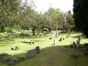
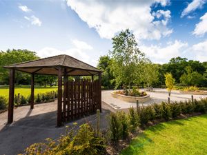
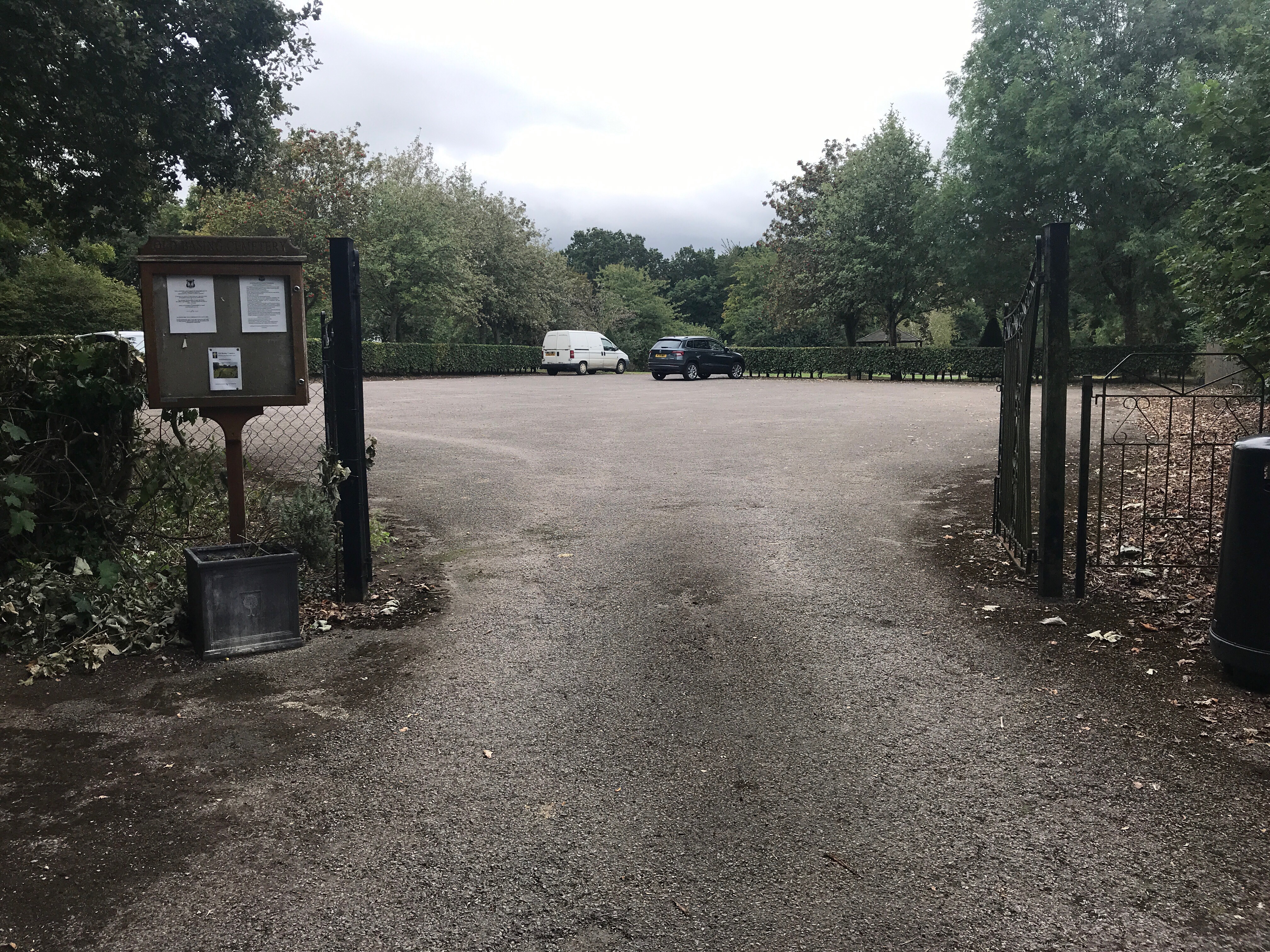
| Description | : | Old Basing and Lychpit Parish Council provide and maintain the cemetery on Riley Lane. (St Mary's churchyard in Old Basing is closed for full burials.) Burials date from the mid 1980s. There is also a Garden of Remembrance for the interment of ashes |
frequently asked questions (FAQ):
-
Where is Old Basing Cemetery?
Old Basing Cemetery is located at Riley Lane Old Basing Basingstoke Hampshire Old Basing, Basingstoke and Deane Borough ,Hampshire , RG24 7DHEngland.
-
Old Basing Cemetery cemetery's updated grave count on graveviews.com?
337 memorials
-
Where are the coordinates of the Old Basing Cemetery?
Latitude: 51.2736710
Longitude: -1.0397679
Nearby Cemetories:
1. St Mary Churchyard
Old Basing, Basingstoke and Deane Borough, England
Coordinate: 51.2715280, -1.0467700
2. St. Swithun Churchyard
Nately Scures, Basingstoke and Deane Borough, England
Coordinate: 51.2719600, -1.0022200
3. St Mary Churchyard
Mapledurwell, Basingstoke and Deane Borough, England
Coordinate: 51.2538100, -1.0161300
4. St Mary Churchyard
Basingstoke, Basingstoke and Deane Borough, England
Coordinate: 51.2652010, -1.0818960
5. St Stephen Churchyard
Up Nately, Basingstoke and Deane Borough, England
Coordinate: 51.2627500, -0.9971500
6. St Nicholas Churchyard
Newnham, Basingstoke and Deane Borough, England
Coordinate: 51.2806190, -0.9922190
7. St. Michael's Churchyard
Basingstoke, Basingstoke and Deane Borough, England
Coordinate: 51.2652400, -1.0885200
8. South View Cemetery
Basingstoke, Basingstoke and Deane Borough, England
Coordinate: 51.2693510, -1.0911620
9. St. Leonard's Churchyard
Sherfield on Loddon, Basingstoke and Deane Borough, England
Coordinate: 51.3061100, -1.0376400
10. Worting Road Cemetery
Basingstoke, Basingstoke and Deane Borough, England
Coordinate: 51.2623970, -1.1049700
11. All Saints Churchyard
Tunworth, Basingstoke and Deane Borough, England
Coordinate: 51.2312600, -1.0367400
12. Rotherwick Churchyard
Rotherwick, Hart District, England
Coordinate: 51.3010190, -0.9806320
13. St. Mary's Churchyard
Greywell, Hart District, England
Coordinate: 51.2536700, -0.9719700
14. St Andrew Churchyard
Sherborne St John, Basingstoke and Deane Borough, England
Coordinate: 51.2955000, -1.1069200
15. St. Mary's Churchyard
Upton Grey, Basingstoke and Deane Borough, England
Coordinate: 51.2307800, -1.0025200
16. St. Leonard's Churchyard
Cliddesden, Basingstoke and Deane Borough, England
Coordinate: 51.2373200, -1.0948700
17. St John the Evangelist Churchyard
Hook, Hart District, England
Coordinate: 51.2833900, -0.9601300
18. Hook Cemetery
Hook, Hart District, England
Coordinate: 51.2840400, -0.9602700
19. St Mary Churchyard
Hartley Wespall, Basingstoke and Deane Borough, England
Coordinate: 51.3197500, -0.9996400
20. St James Churchyard
Bramley, Basingstoke and Deane Borough, England
Coordinate: 51.3263740, -1.0757240
21. St Lawrence Churchyard
Weston Patrick, Basingstoke and Deane Borough, England
Coordinate: 51.2170740, -1.0121040
22. All Saints Churchyard
Monk Sherborne, Basingstoke and Deane Borough, England
Coordinate: 51.2981040, -1.1288260
23. St. Thomas of Canterbury Churchyard
Worting, Basingstoke and Deane Borough, England
Coordinate: 51.2621430, -1.1405070
24. St Mary Churchyard
Herriard, Basingstoke and Deane Borough, England
Coordinate: 51.2093000, -1.0515700


