
| Memorials | : | 136 |
| Location | : | Old Basing, Basingstoke and Deane Borough, England |
| Coordinate | : | 51.2715280, -1.0467700 |
frequently asked questions (FAQ):
-
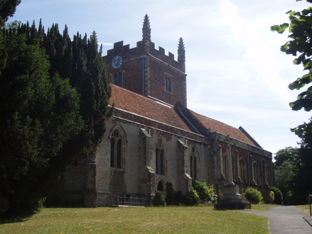
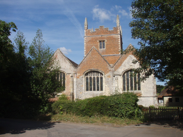
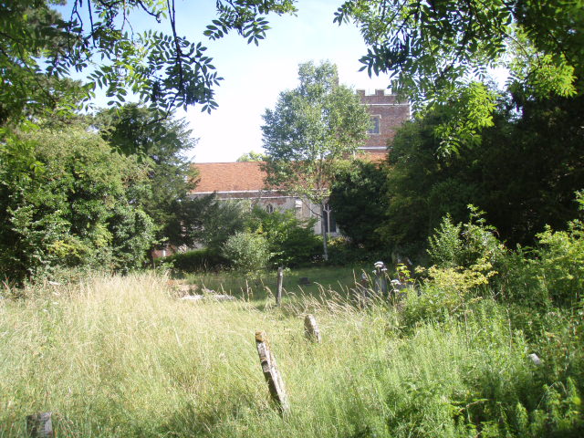
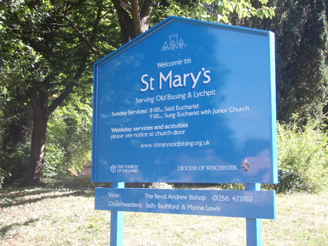
Where is St Mary Churchyard?
St Mary Churchyard is located at Church Lane and the Street Old Basing, Basingstoke and Deane Borough ,Hampshire , RG24 7DJEngland.
-
St Mary Churchyard cemetery's updated grave count on graveviews.com?
136 memorials
-
Where are the coordinates of the St Mary Churchyard?
Latitude: 51.2715280
Longitude: -1.0467700
Nearby Cemetories:
1. Old Basing Cemetery
Old Basing, Basingstoke and Deane Borough, England
Coordinate: 51.2736710, -1.0397679
2. St Mary Churchyard
Basingstoke, Basingstoke and Deane Borough, England
Coordinate: 51.2652010, -1.0818960
3. St Mary Churchyard
Mapledurwell, Basingstoke and Deane Borough, England
Coordinate: 51.2538100, -1.0161300
4. St. Michael's Churchyard
Basingstoke, Basingstoke and Deane Borough, England
Coordinate: 51.2652400, -1.0885200
5. South View Cemetery
Basingstoke, Basingstoke and Deane Borough, England
Coordinate: 51.2693510, -1.0911620
6. St. Swithun Churchyard
Nately Scures, Basingstoke and Deane Borough, England
Coordinate: 51.2719600, -1.0022200
7. St Stephen Churchyard
Up Nately, Basingstoke and Deane Borough, England
Coordinate: 51.2627500, -0.9971500
8. St. Leonard's Churchyard
Sherfield on Loddon, Basingstoke and Deane Borough, England
Coordinate: 51.3061100, -1.0376400
9. St Nicholas Churchyard
Newnham, Basingstoke and Deane Borough, England
Coordinate: 51.2806190, -0.9922190
10. Worting Road Cemetery
Basingstoke, Basingstoke and Deane Borough, England
Coordinate: 51.2623970, -1.1049700
11. All Saints Churchyard
Tunworth, Basingstoke and Deane Borough, England
Coordinate: 51.2312600, -1.0367400
12. St Andrew Churchyard
Sherborne St John, Basingstoke and Deane Borough, England
Coordinate: 51.2955000, -1.1069200
13. St. Leonard's Churchyard
Cliddesden, Basingstoke and Deane Borough, England
Coordinate: 51.2373200, -1.0948700
14. St. Mary's Churchyard
Upton Grey, Basingstoke and Deane Borough, England
Coordinate: 51.2307800, -1.0025200
15. St. Mary's Churchyard
Greywell, Hart District, England
Coordinate: 51.2536700, -0.9719700
16. Rotherwick Churchyard
Rotherwick, Hart District, England
Coordinate: 51.3010190, -0.9806320
17. St John the Evangelist Churchyard
Hook, Hart District, England
Coordinate: 51.2833900, -0.9601300
18. Hook Cemetery
Hook, Hart District, England
Coordinate: 51.2840400, -0.9602700
19. St Mary Churchyard
Hartley Wespall, Basingstoke and Deane Borough, England
Coordinate: 51.3197500, -0.9996400
20. St James Churchyard
Bramley, Basingstoke and Deane Borough, England
Coordinate: 51.3263740, -1.0757240
21. All Saints Churchyard
Monk Sherborne, Basingstoke and Deane Borough, England
Coordinate: 51.2981040, -1.1288260
22. St Lawrence Churchyard
Weston Patrick, Basingstoke and Deane Borough, England
Coordinate: 51.2170740, -1.0121040
23. St. Thomas of Canterbury Churchyard
Worting, Basingstoke and Deane Borough, England
Coordinate: 51.2621430, -1.1405070
24. St. Andrew's Churchyard
Farleigh Wallop, Basingstoke and Deane Borough, England
Coordinate: 51.2234400, -1.1064200