
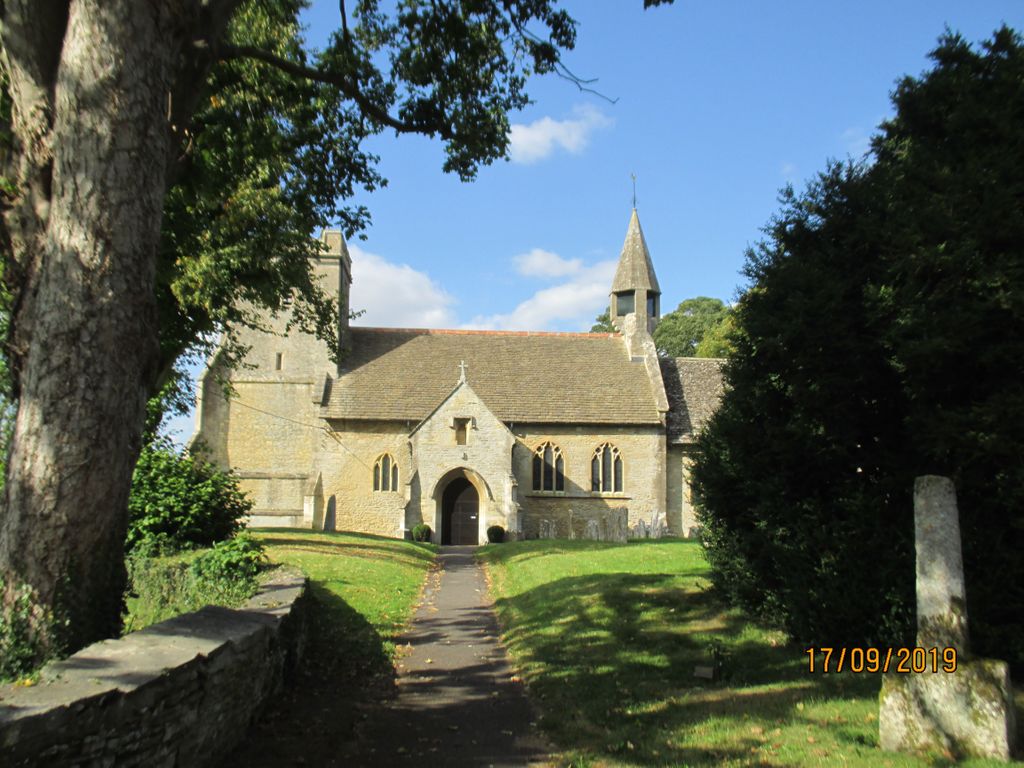
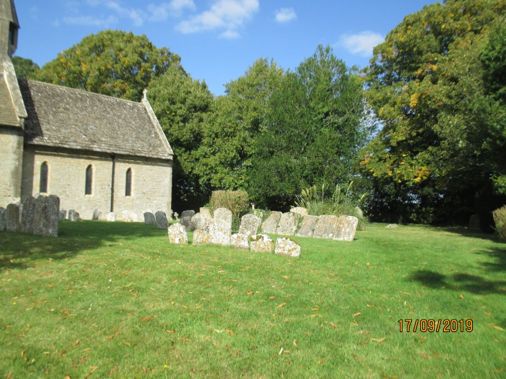
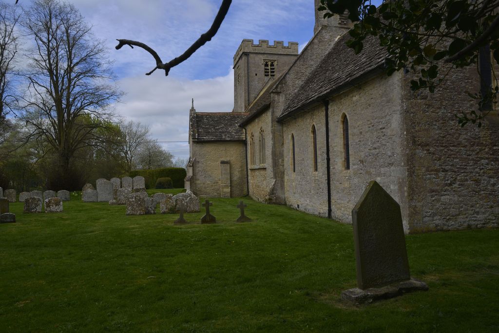
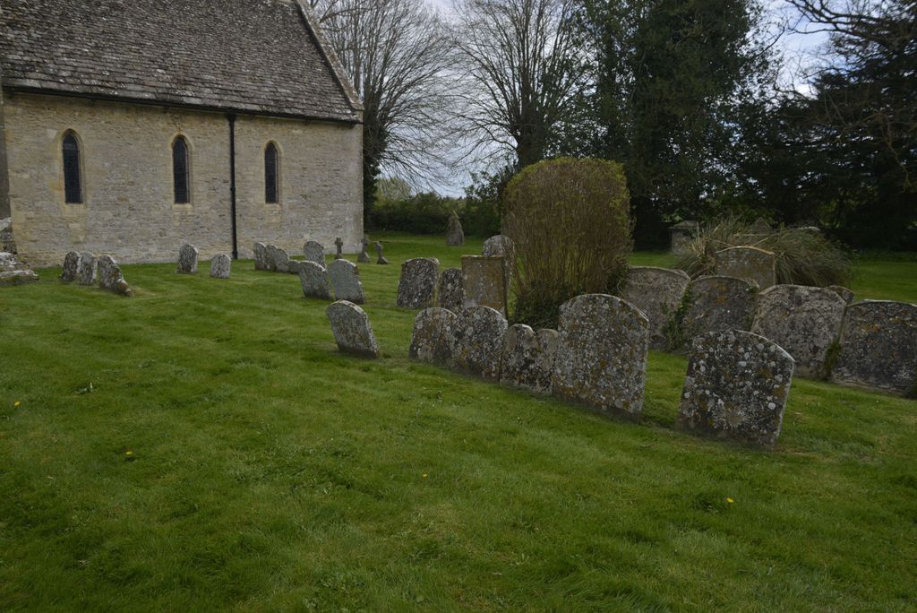
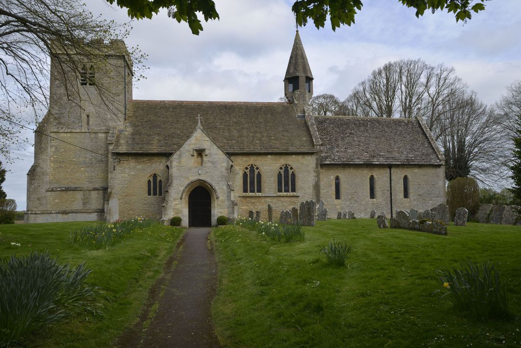
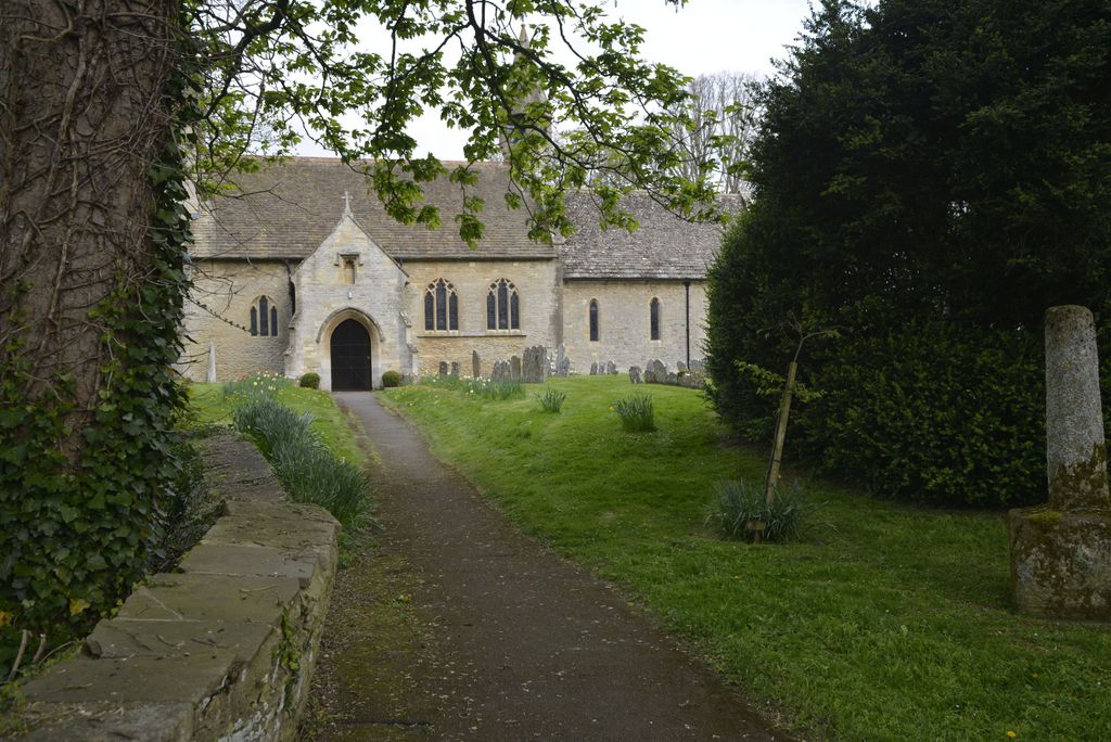
| Memorials | : | 0 |
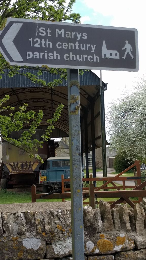
| Location | : | Castle Eaton, Swindon Unitary Authority, England |
| Phone | : | +44 1285 850218 |
| Website | : | www.britishlistedbuildings.co.uk/101023297-parish-church-of-st-mary-castle-eaton/photos#.W0wvldUza70 |
| Coordinate | : | 51.6624180, -1.7896647 |
frequently asked questions (FAQ):
-
Where is Parish Church of St. Mary?
Parish Church of St. Mary is located at Long Row Castle Eaton, Swindon Unitary Authority ,Wiltshire , SN^ 6LBEngland.
-
Parish Church of St. Mary cemetery's updated grave count on graveviews.com?
0 memorials
-
Where are the coordinates of the Parish Church of St. Mary?
Latitude: 51.6624180
Longitude: -1.7896647
Nearby Cemetories:
1. St. Mary's Churchyard
Kempsford, Cotswold District, England
Coordinate: 51.6670420, -1.7681363
2. St. Thomas Churchyard
Fairford, Cotswold District, England
Coordinate: 51.7028776, -1.7801562
3. All Saints Churchyard
Down Ampney, Cotswold District, England
Coordinate: 51.6674850, -1.8592640
4. St. Mary's Churchyard
Cricklade, Wiltshire Unitary Authority, England
Coordinate: 51.6435624, -1.8553451
5. St. Mary the Virgin Churchyard
Fairford, Cotswold District, England
Coordinate: 51.7088500, -1.7814600
6. Blunsdon Cemetery
Broad Blunsdon, Swindon Unitary Authority, England
Coordinate: 51.6160210, -1.7774919
7. St. Leonard's Churchyard
Broad Blunsdon, Swindon Unitary Authority, England
Coordinate: 51.6153980, -1.7804317
8. St. Sampson Churchyard
Cricklade, Wiltshire Unitary Authority, England
Coordinate: 51.6405970, -1.8580760
9. Cricklade Cemetery
Cricklade, Wiltshire Unitary Authority, England
Coordinate: 51.6414360, -1.8605570
10. Highworth Cemetery
Highworth, Swindon Unitary Authority, England
Coordinate: 51.6285450, -1.7212890
11. St Andrew's Church
Blunsdon St Andrew, Swindon Unitary Authority, England
Coordinate: 51.6059595, -1.8048494
12. Poulton Priory
Poulton, Cotswold District, England
Coordinate: 51.6989750, -1.8638940
13. Kingsdown Crematorium
Swindon, Swindon Unitary Authority, England
Coordinate: 51.5968450, -1.7513770
14. St. Mary's Churchyard
Buscot, Vale of White Horse District, England
Coordinate: 51.6815710, -1.6736770
15. St. James' Churchyard
Sevenhampton, Swindon Unitary Authority, England
Coordinate: 51.6119590, -1.6984440
16. Whitworth Road Cemetery
Swindon, Swindon Unitary Authority, England
Coordinate: 51.5836530, -1.7862070
17. Upper Stratton Cemetery
Stratton St Margaret, Swindon Unitary Authority, England
Coordinate: 51.5833283, -1.7661632
18. Ampney St. Mary Parish Churchyard
Ampney St Mary, Cotswold District, England
Coordinate: 51.7125000, -1.8919000
19. Ampney St Peter Churchyard
Ampney St Peter, Cotswold District, England
Coordinate: 51.7126320, -1.8918160
20. St. Nicholas' Churchyard
Hatherop, Cotswold District, England
Coordinate: 51.7443000, -1.7786600
21. All Saints Churchyard
Coleshill, Vale of White Horse District, England
Coordinate: 51.6422960, -1.6611320
22. St. John the Baptist Churchyard
Coln St Aldwyns, Cotswold District, England
Coordinate: 51.7447000, -1.7928600
23. St. Nicholas Churchyard
Hatherop, Cotswold District, England
Coordinate: 51.7444700, -1.7780800
24. St. Mary's Churchyard
Swindon, Swindon Unitary Authority, England
Coordinate: 51.5790500, -1.7990100