
| Memorials | : | 99 |
| Location | : | Fairford, Cotswold District, England |
| Phone | : | 01285 712 611 |
| Coordinate | : | 51.7088500, -1.7814600 |
frequently asked questions (FAQ):
-
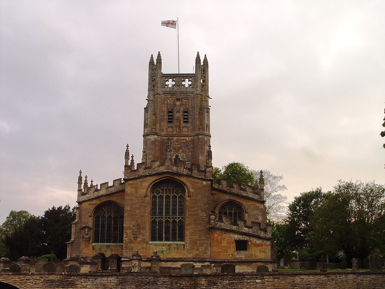
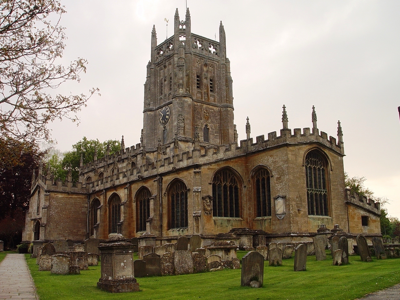
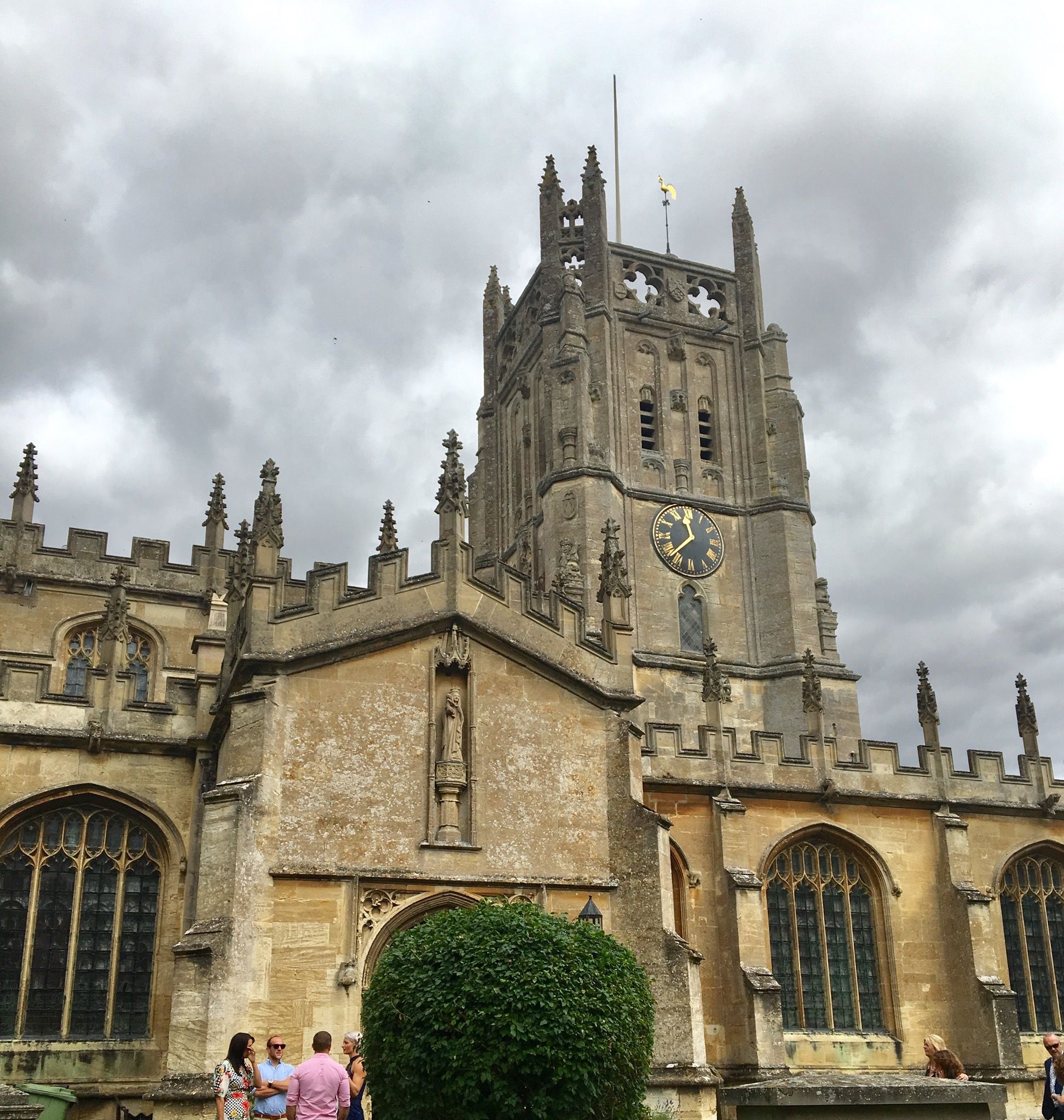
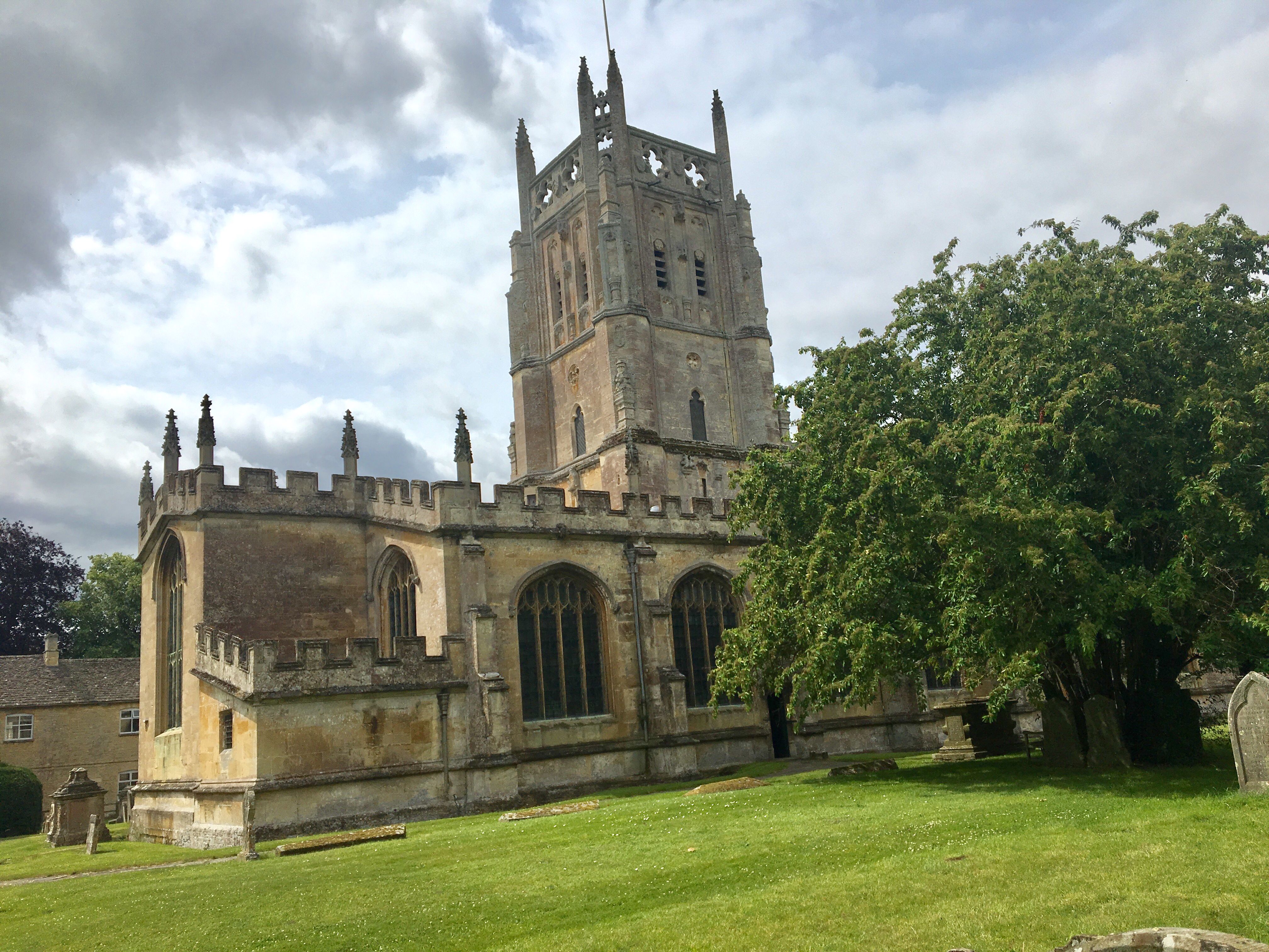
Where is St. Mary the Virgin Churchyard?
St. Mary the Virgin Churchyard is located at Fairford, Cotswold District ,Gloucestershire ,England.
-
St. Mary the Virgin Churchyard cemetery's updated grave count on graveviews.com?
99 memorials
-
Where are the coordinates of the St. Mary the Virgin Churchyard?
Latitude: 51.7088500
Longitude: -1.7814600
Nearby Cemetories:
1. St. Thomas Churchyard
Fairford, Cotswold District, England
Coordinate: 51.7028776, -1.7801562
2. St. Nicholas' Churchyard
Hatherop, Cotswold District, England
Coordinate: 51.7443000, -1.7786600
3. St. Nicholas Churchyard
Hatherop, Cotswold District, England
Coordinate: 51.7444700, -1.7780800
4. St. John the Baptist Churchyard
Coln St Aldwyns, Cotswold District, England
Coordinate: 51.7447000, -1.7928600
5. St. Mary's Churchyard
Kempsford, Cotswold District, England
Coordinate: 51.6670420, -1.7681363
6. Parish Church of St. Mary
Castle Eaton, Swindon Unitary Authority, England
Coordinate: 51.6624180, -1.7896647
7. Poulton Priory
Poulton, Cotswold District, England
Coordinate: 51.6989750, -1.8638940
8. St. Andrew's Churchyard
Eastleach, Cotswold District, England
Coordinate: 51.7465120, -1.7087670
9. St. Mary the Virgin Churchyard
Bibury, Cotswold District, England
Coordinate: 51.7587037, -1.8376852
10. All Saints Churchyard
Down Ampney, Cotswold District, England
Coordinate: 51.6674850, -1.8592640
11. St. Margaret's Churchyard
Little Faringdon, West Oxfordshire District, England
Coordinate: 51.7109400, -1.6739760
12. Ampney St Peter Churchyard
Ampney St Peter, Cotswold District, England
Coordinate: 51.7126320, -1.8918160
13. Ampney St. Mary Parish Churchyard
Ampney St Mary, Cotswold District, England
Coordinate: 51.7125000, -1.8919000
14. St. Mary's Churchyard
Buscot, Vale of White Horse District, England
Coordinate: 51.6815710, -1.6736770
15. St Mary Churchyard
Barnsley, Cotswold District, England
Coordinate: 51.7445030, -1.8894860
16. St. Mary's Churchyard
Cricklade, Wiltshire Unitary Authority, England
Coordinate: 51.6435624, -1.8553451
17. St Peter's Churchyard
Filkins, West Oxfordshire District, England
Coordinate: 51.7358700, -1.6578250
18. St. Sampson Churchyard
Cricklade, Wiltshire Unitary Authority, England
Coordinate: 51.6405970, -1.8580760
19. Cricklade Cemetery
Cricklade, Wiltshire Unitary Authority, England
Coordinate: 51.6414360, -1.8605570
20. Saint Matthew's Churchyard
Langford, West Oxfordshire District, England
Coordinate: 51.7209390, -1.6405280
21. Highworth Cemetery
Highworth, Swindon Unitary Authority, England
Coordinate: 51.6285450, -1.7212890
22. St. George's Churchyard
Kelmscott, West Oxfordshire District, England
Coordinate: 51.6925550, -1.6408780
23. Buscot Park
Faringdon, Vale of White Horse District, England
Coordinate: 51.6684973, -1.6518000
24. Blunsdon Cemetery
Broad Blunsdon, Swindon Unitary Authority, England
Coordinate: 51.6160210, -1.7774919