
| Memorials | : | 9 |
| Location | : | Randolph County, USA |
| Coordinate | : | 39.4690780, -92.5131110 |
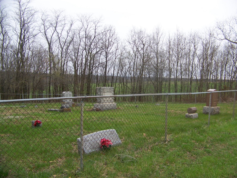
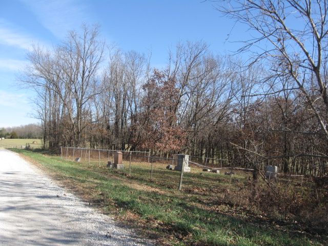
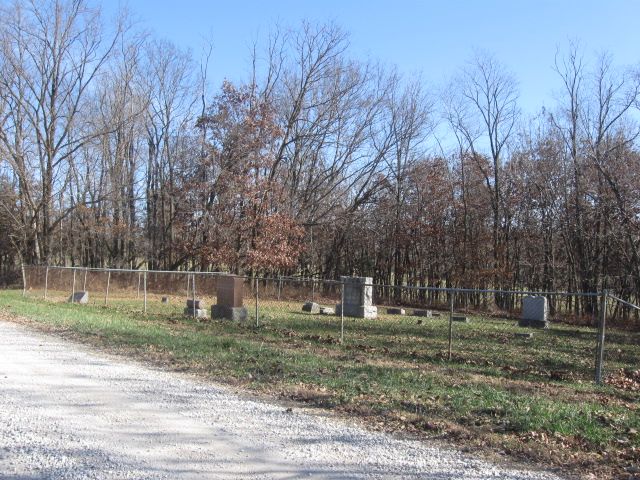
| Description | : | Fenced in & taken care of - on Randolph Co Rd A-95 - off of Hwy DD - at "Road Closed Sign" - T54N/R14W/S20. |
frequently asked questions (FAQ):
-
Where is Mount Olivette Cemetery?
Mount Olivette Cemetery is located at Randolph County ,Missouri ,USA.
-
Mount Olivette Cemetery cemetery's updated grave count on graveviews.com?
9 memorials
-
Where are the coordinates of the Mount Olivette Cemetery?
Latitude: 39.4690780
Longitude: -92.5131110
Nearby Cemetories:
1. Hardister Cemetery
Randolph County, USA
Coordinate: 39.4799210, -92.5116790
2. Chapman Cemetery
Randolph County, USA
Coordinate: 39.4494090, -92.5041380
3. Phipps-Goodding Cemetery
Randolph County, USA
Coordinate: 39.4897420, -92.5200980
4. Klink-Lay Cemetery
Randolph County, USA
Coordinate: 39.4474120, -92.5345440
5. Pleasant Hill Cemetery
Cairo, Randolph County, USA
Coordinate: 39.4976600, -92.4969900
6. Little Union Primitive Baptist Church Cemetery
Randolph County, USA
Coordinate: 39.4528000, -92.5510280
7. Huntsville City Cemetery
Huntsville, Randolph County, USA
Coordinate: 39.4440500, -92.5460000
8. Mason-Payton Cemetery
Randolph County, USA
Coordinate: 39.5067770, -92.5215990
9. Polson-Pipes Cemetery
Randolph County, USA
Coordinate: 39.5044590, -92.4919350
10. Henry Austin Cemetery
Huntsville, Randolph County, USA
Coordinate: 39.4365180, -92.5434960
11. David Austin Cemetery
Huntsville, Randolph County, USA
Coordinate: 39.4737420, -92.5649930
12. Boulware-Morehead Cemetery
Randolph County, USA
Coordinate: 39.4398600, -92.5504750
13. Devore Family Cemetery
Randolph County, USA
Coordinate: 39.4269540, -92.5165500
14. Terry Cemetery
Huntsville, Randolph County, USA
Coordinate: 39.4985470, -92.5585630
15. Dameron Family Cemetery
Cairo, Randolph County, USA
Coordinate: 39.5074898, -92.4732701
16. Sugar Creek Cemetery
Moberly, Randolph County, USA
Coordinate: 39.4468994, -92.4550018
17. Holbrook Family Cemetery
Moberly, Randolph County, USA
Coordinate: 39.4152880, -92.4861960
18. Ancell Cemetery
Cairo, Randolph County, USA
Coordinate: 39.5324600, -92.5044200
19. Hagar Cemetery
Huntsville, Randolph County, USA
Coordinate: 39.4049988, -92.5130997
20. Memorial Park Cemetery
Moberly, Randolph County, USA
Coordinate: 39.4508018, -92.4332962
21. Cleveland Cemetery
Darksville, Randolph County, USA
Coordinate: 39.5018380, -92.6006240
22. Old Fort Henry Cemetery
Clifton Hill, Randolph County, USA
Coordinate: 39.4636990, -92.6114830
23. Summers Family Cemetery
Huntsville, Randolph County, USA
Coordinate: 39.5439036, -92.5413740
24. New Fort Henry Cemetery
Fort Henry, Randolph County, USA
Coordinate: 39.4616500, -92.6164990