
| Memorials | : | 34 |
| Location | : | Heathfield, Wealden District, England |
| Coordinate | : | 50.9617720, 0.2979720 |
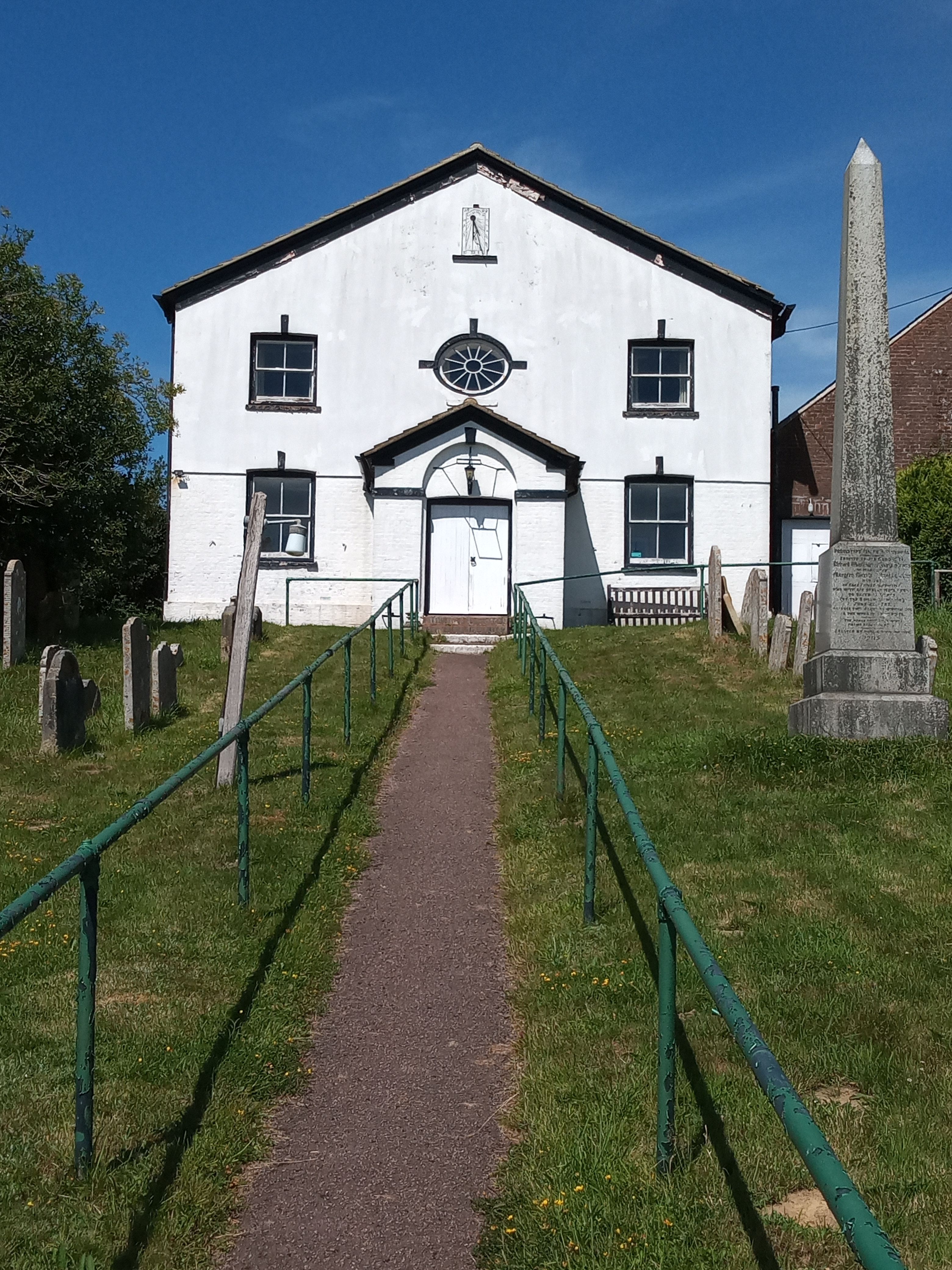
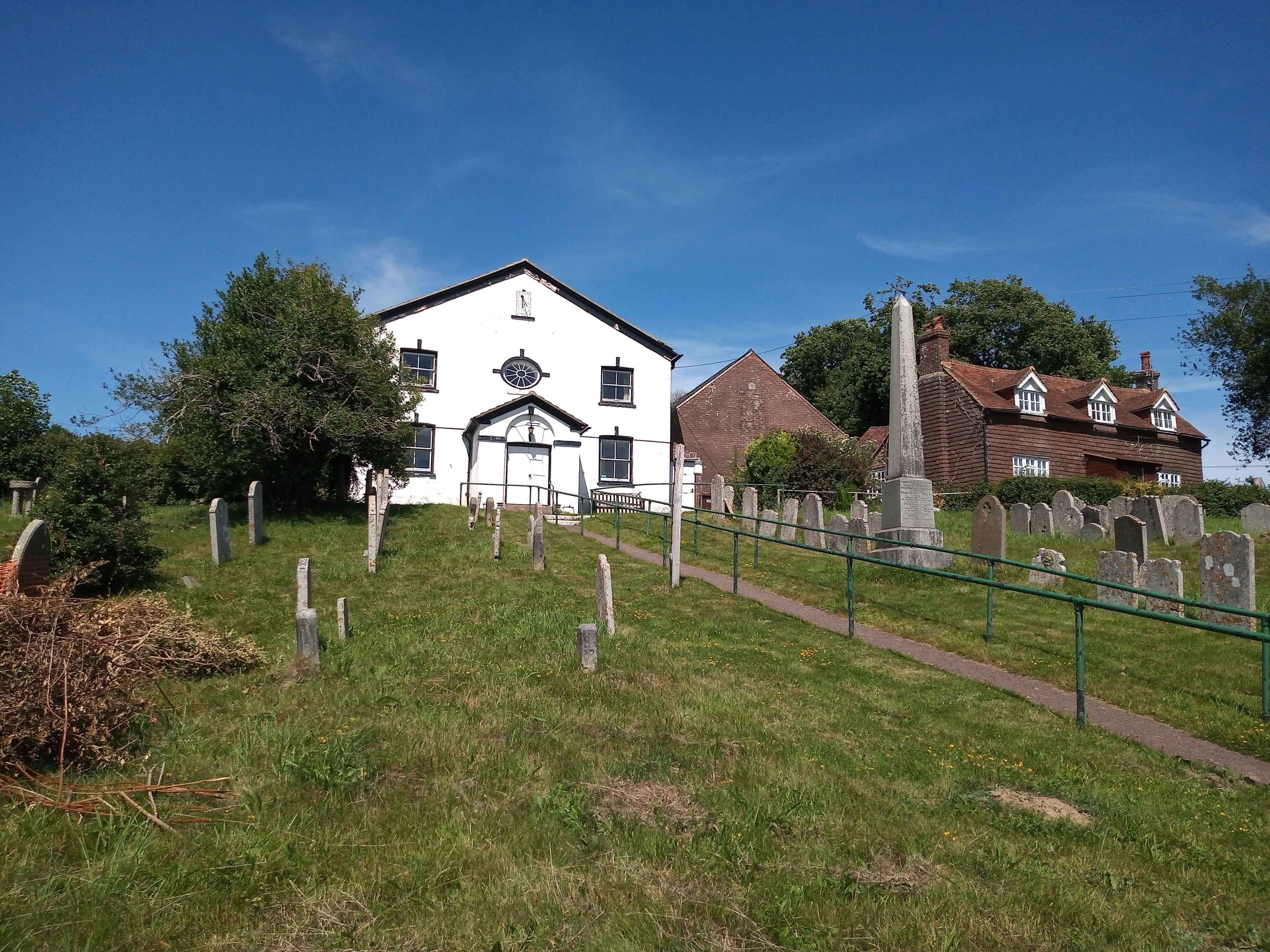
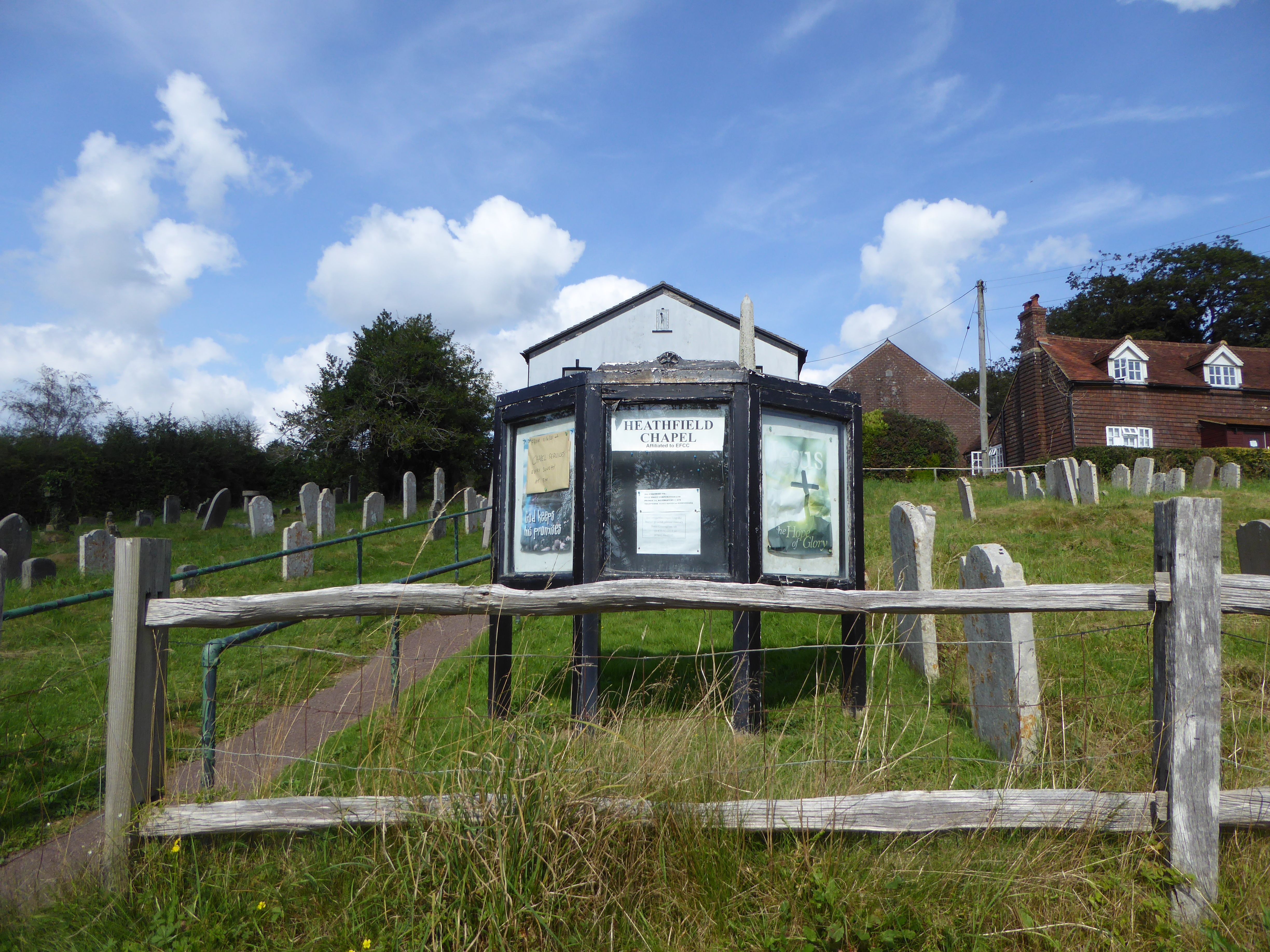
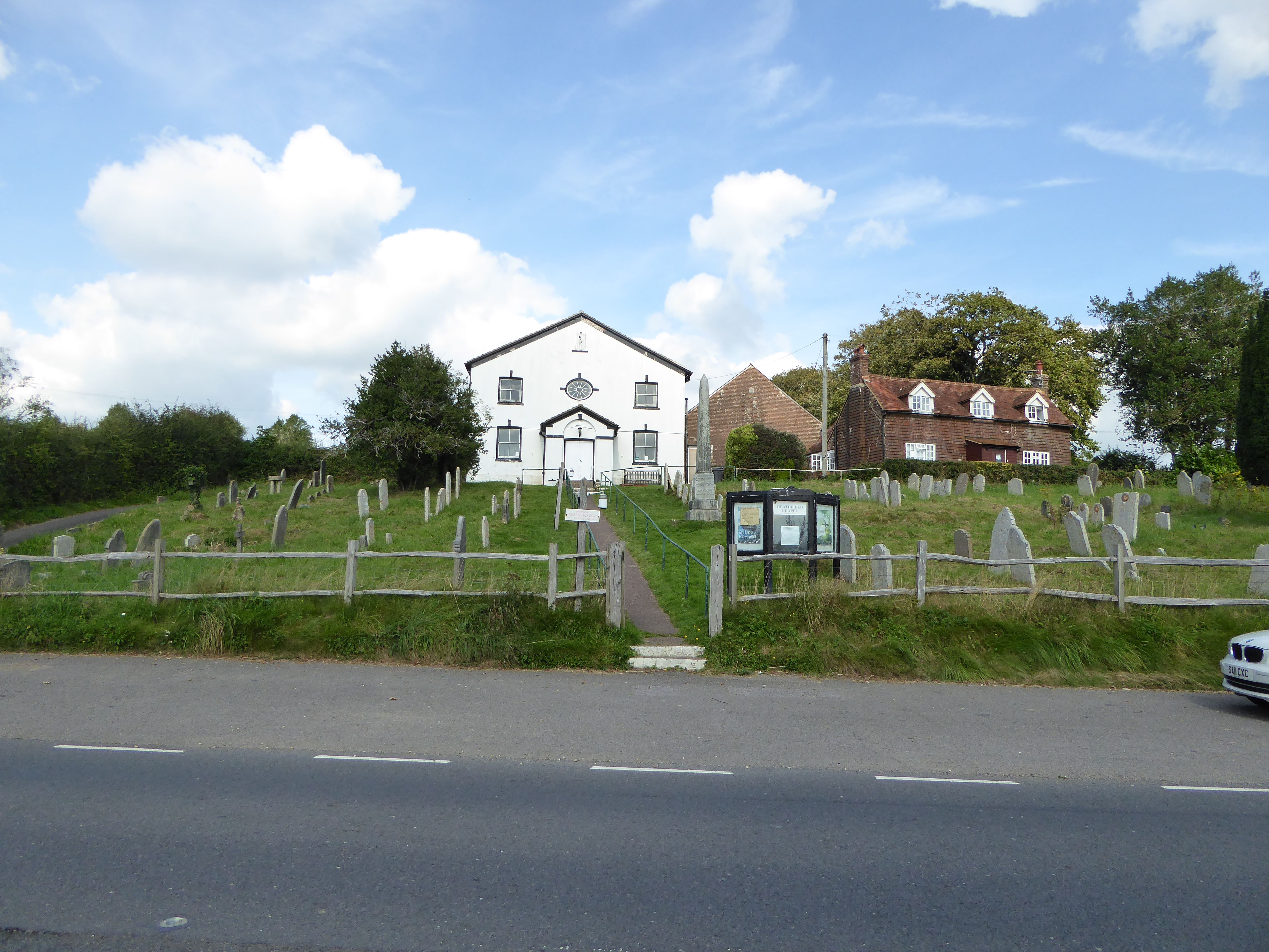
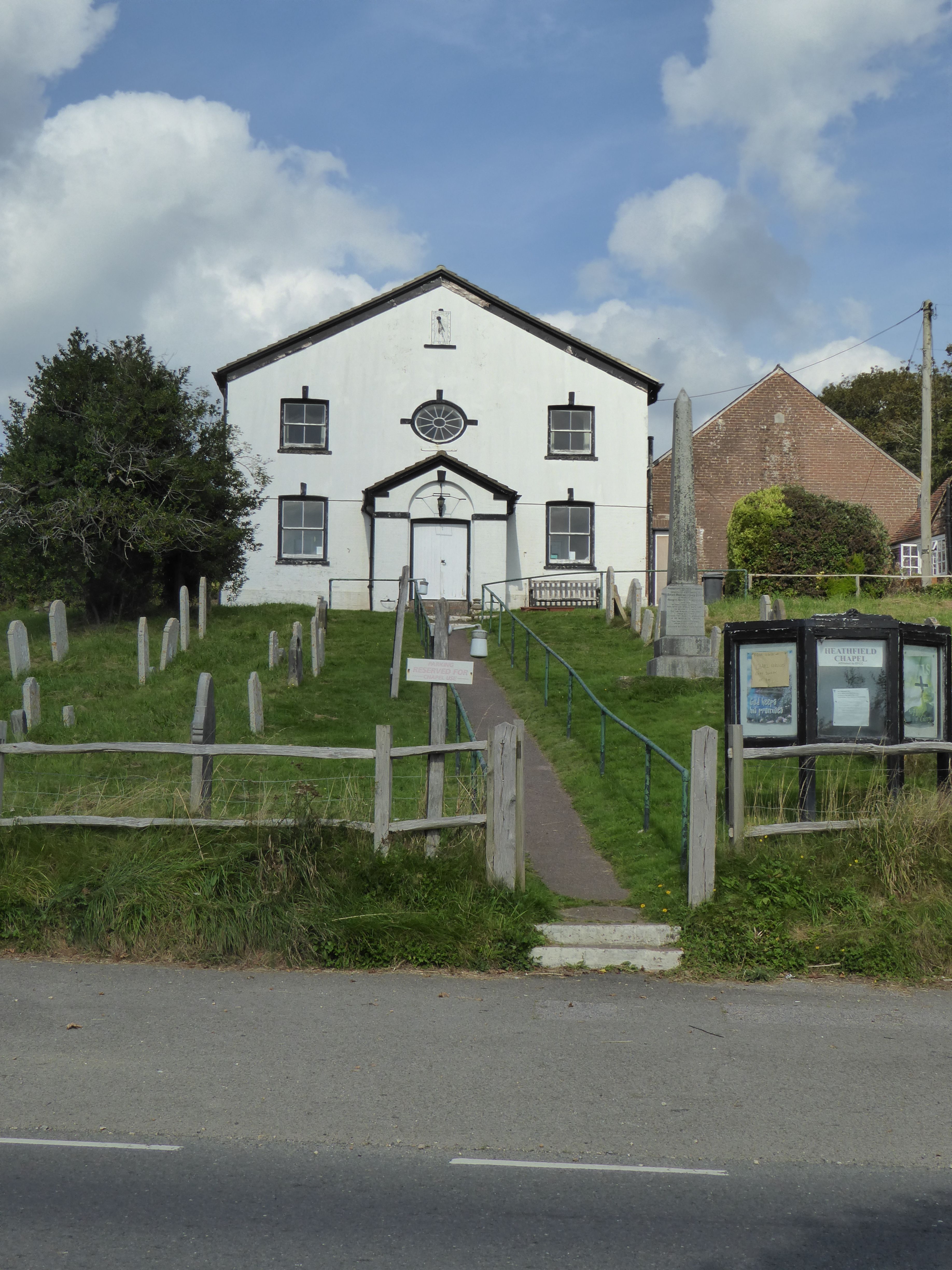
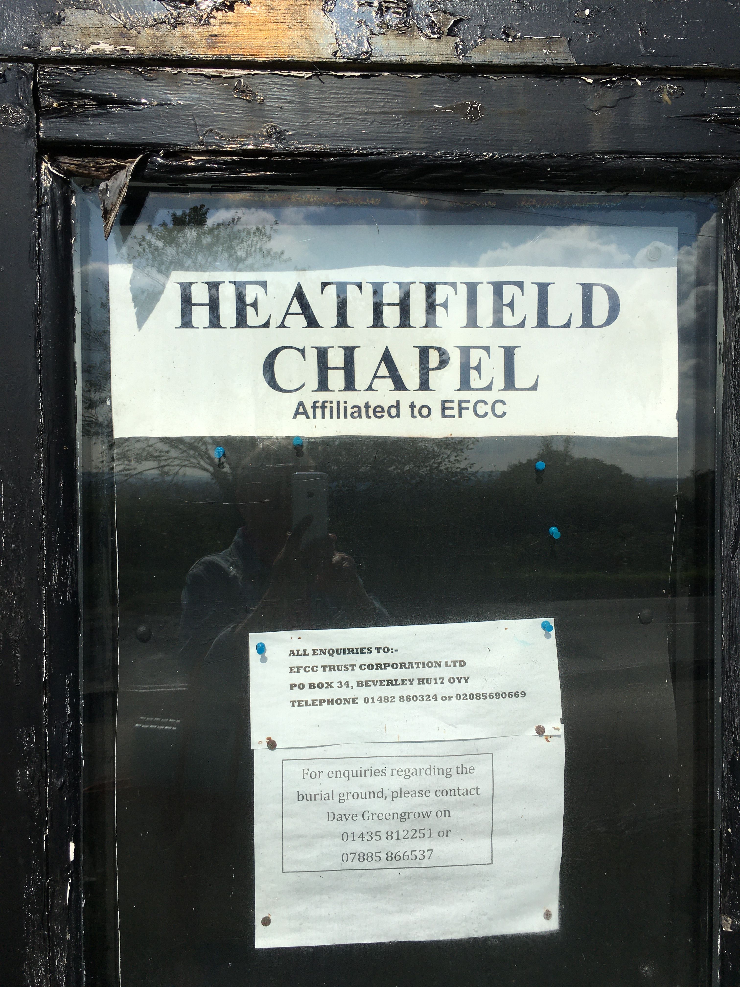
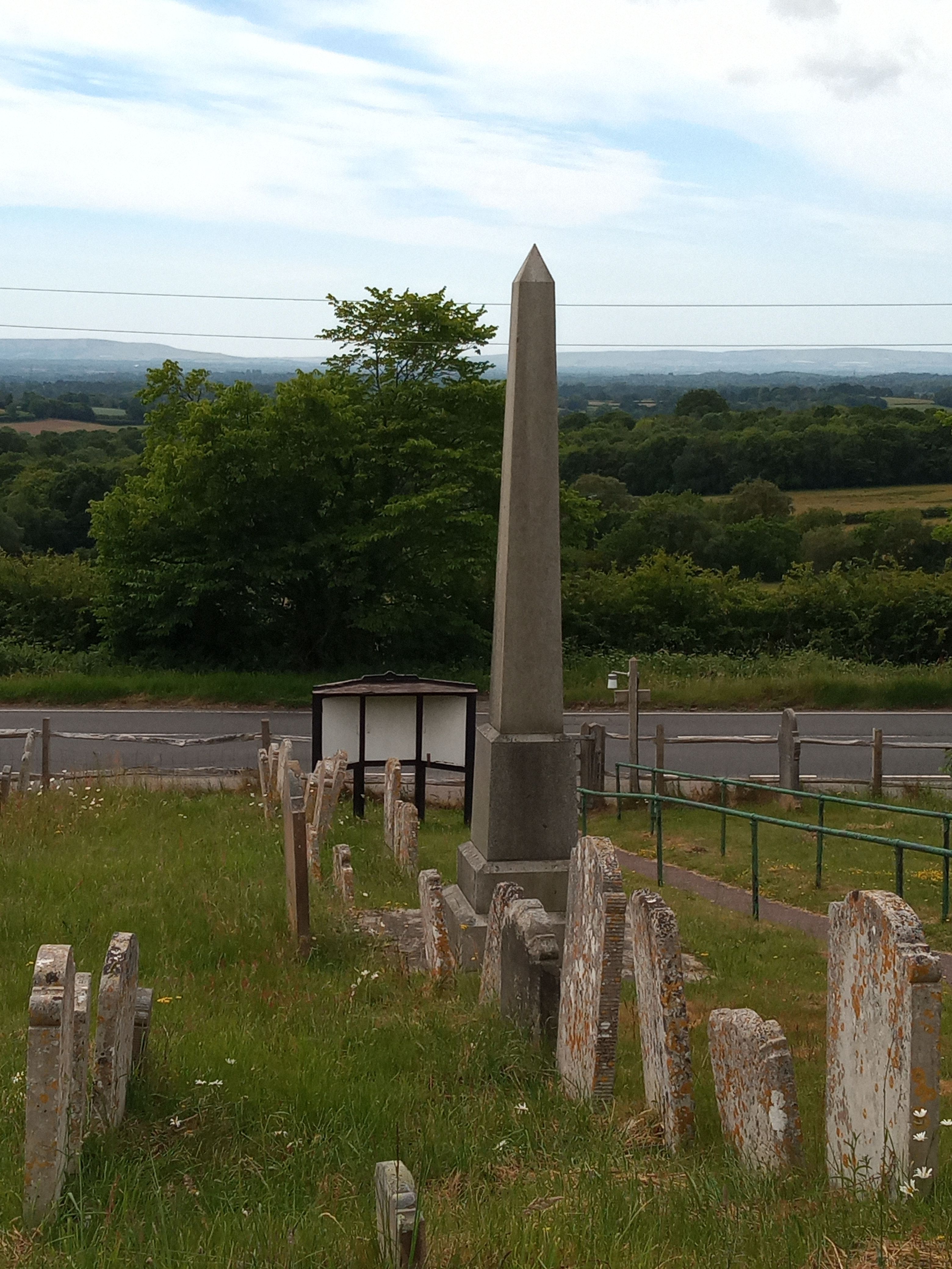
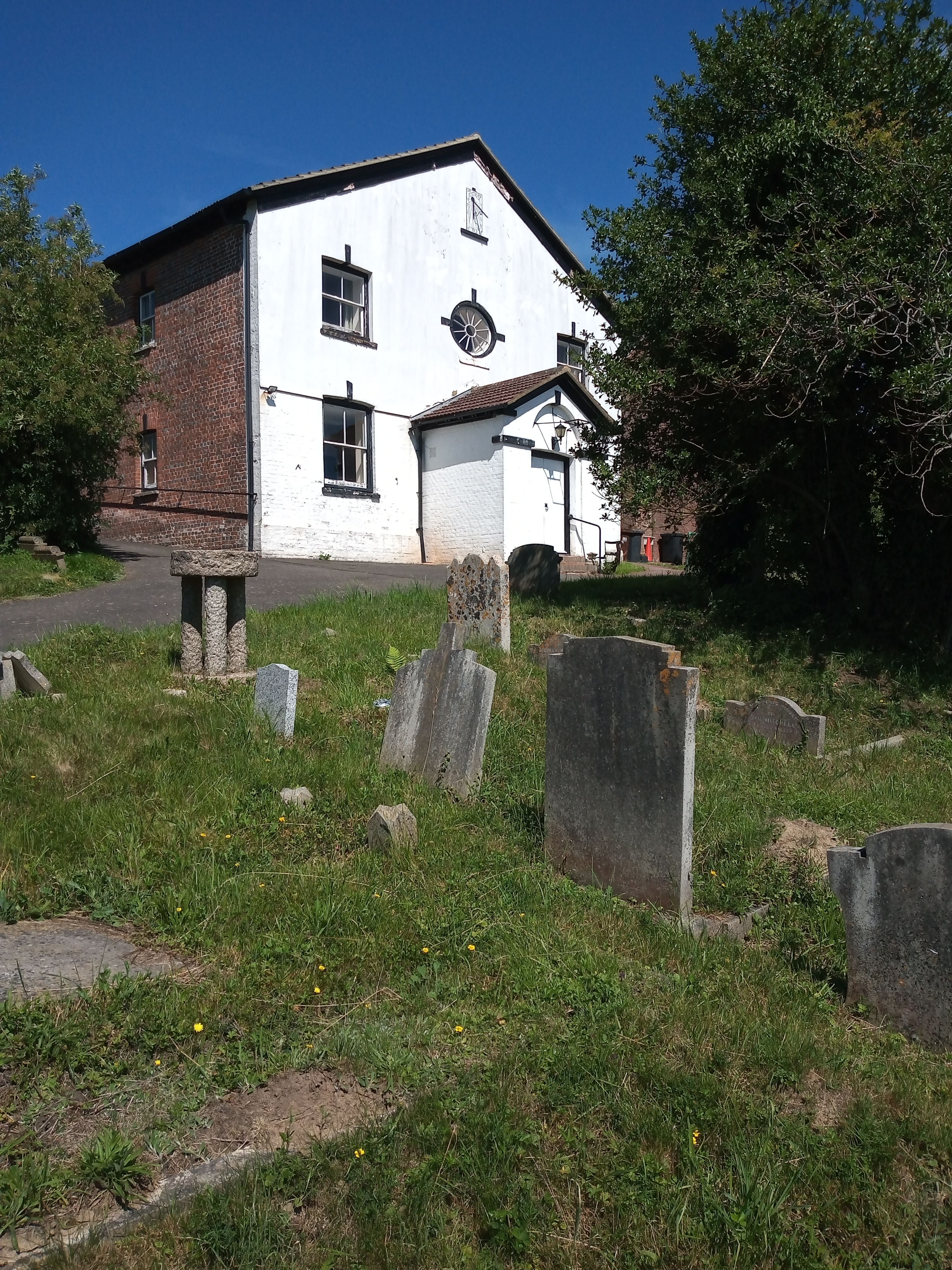
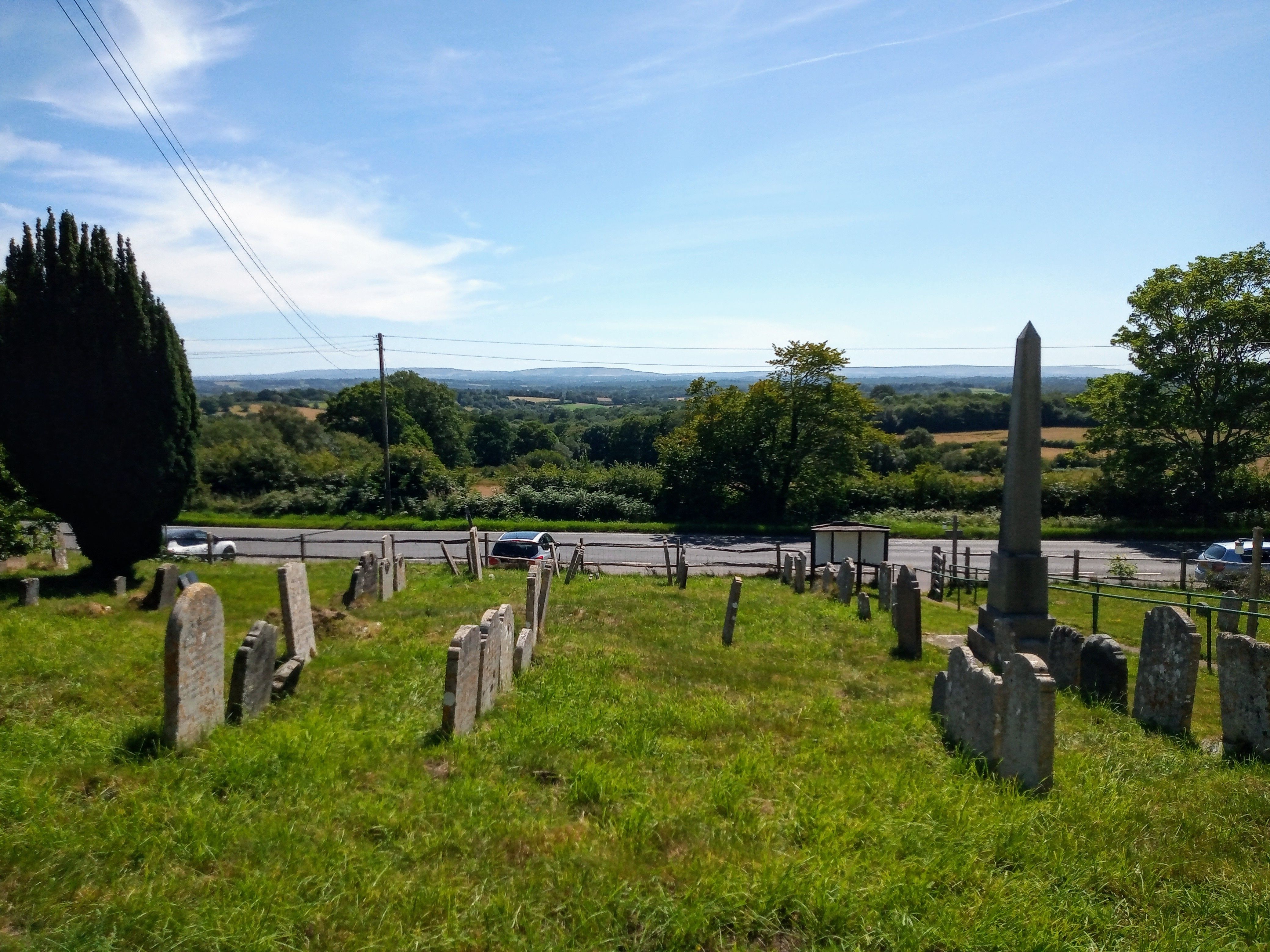
| Description | : | The white chapel at Chapel Cross near Punnetts Town, also called Heathfield Chapel. on B2096 between Punnett's Town/Chapel Cross & Heathfield |
frequently asked questions (FAQ):
-
Where is Punnett's Town Chapel Cemetery?
Punnett's Town Chapel Cemetery is located at Punnetts Town Heathfield, Wealden District ,East Sussex , TN21 9DBEngland.
-
Punnett's Town Chapel Cemetery cemetery's updated grave count on graveviews.com?
34 memorials
-
Where are the coordinates of the Punnett's Town Chapel Cemetery?
Latitude: 50.9617720
Longitude: 0.2979720
Nearby Cemetories:
1. All Saints Churchyard
Heathfield, Wealden District, England
Coordinate: 50.9599190, 0.2748190
2. Broad Oak Chapel
Heathfield, Wealden District, England
Coordinate: 50.9783950, 0.2860630
3. St. Mary the Virgin Churchyard
Warbleton, Wealden District, England
Coordinate: 50.9407250, 0.2885880
4. Theobalds Green Burial Ground
Heathfield, Wealden District, England
Coordinate: 50.9542157, 0.2485328
5. St Philips Churchyard
Burwash, Rother District, England
Coordinate: 50.9889020, 0.3350510
6. St. Giles' Churchyard
Dallington, Rother District, England
Coordinate: 50.9470960, 0.3585090
7. St Bartholomew Churchyard
Wealden District, England
Coordinate: 50.9715490, 0.2338890
8. Ebenezer Baptist Chapel
Bodle Street Green, Wealden District, England
Coordinate: 50.9102250, 0.3438700
9. All Saints Churchyard
Waldron, Wealden District, England
Coordinate: 50.9522090, 0.2034190
10. St. Joseph's Roman Catholic Churchyard
Burwash, Rother District, England
Coordinate: 50.9963500, 0.3782670
11. St. Thomas A. Becket Churchyard
Brightling, Rother District, England
Coordinate: 50.9638440, 0.3961020
12. Holy Cross Priory
Heathfield, Wealden District, England
Coordinate: 50.9715880, 0.1994160
13. St. Dunstan Churchyard
Mayfield, Wealden District, England
Coordinate: 51.0207710, 0.2605280
14. Mayfield School Chapel
Mayfield, Wealden District, England
Coordinate: 51.0212245, 0.2614751
15. Convent of the Holy Child
Mayfield, Wealden District, England
Coordinate: 51.0216780, 0.2609150
16. St. John the Evangelist Churchyard
Bodle Street Green, Wealden District, England
Coordinate: 50.9041214, 0.3465680
17. St. Bartholomew's Churchyard
Burwash, Rother District, England
Coordinate: 50.9976470, 0.3887490
18. Herstmonceux Free Church
Herstmonceux, Wealden District, England
Coordinate: 50.8855160, 0.3278300
19. St Michael the Archangel Churchyard
Penhurst, Rother District, England
Coordinate: 50.9235920, 0.4092830
20. St. Peter and St. Paul Churchyard
Hellingly, Wealden District, England
Coordinate: 50.8885260, 0.2460540
21. St Mark Churchyard
Hadlow Down, Wealden District, England
Coordinate: 50.9967460, 0.1786580
22. St. Peter's Churchyard
Stonegate, Rother District, England
Coordinate: 51.0303090, 0.3747690
23. Hellingly Cemetery
Hellingly, Wealden District, England
Coordinate: 50.8852690, 0.2415280
24. Tidebrook Churchyard
Wadhurst, Wealden District, England
Coordinate: 51.0467700, 0.3013730