
| Memorials | : | 2 |
| Location | : | Burwash, Rother District, England |
| Coordinate | : | 50.9976470, 0.3887490 |
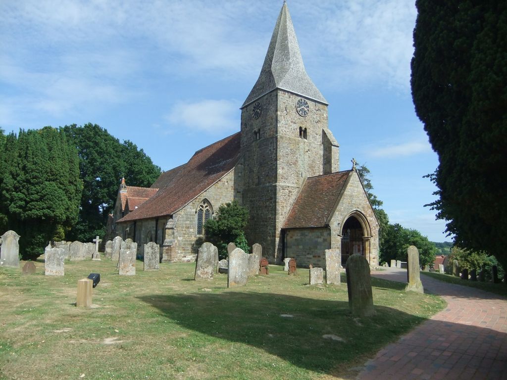
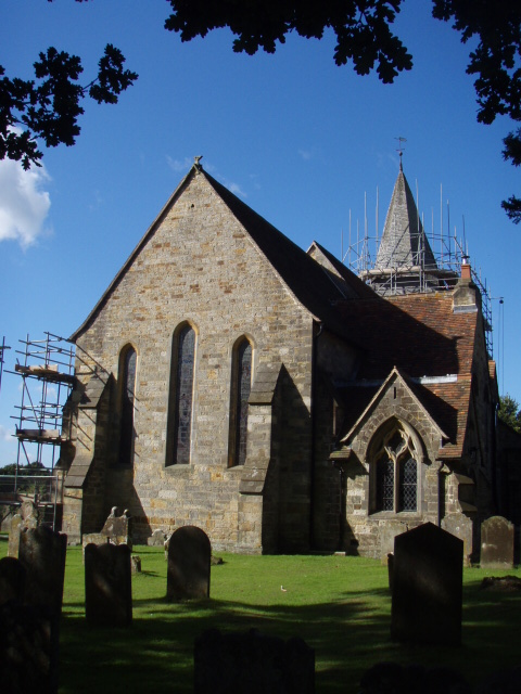
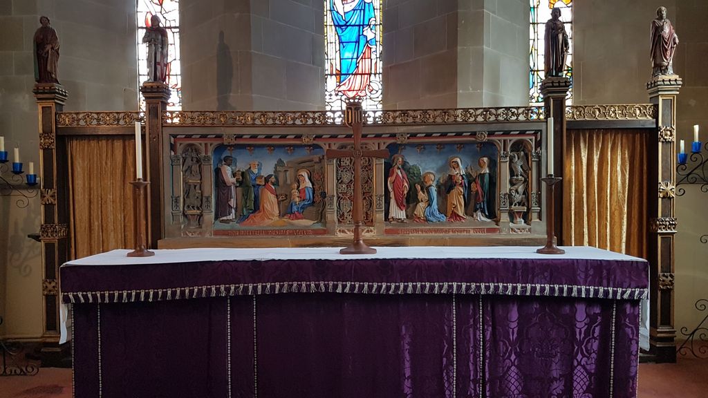
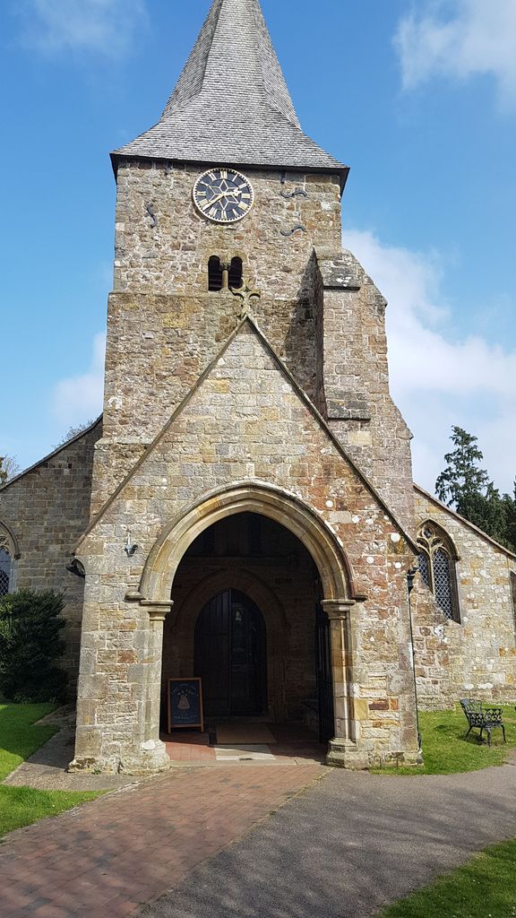
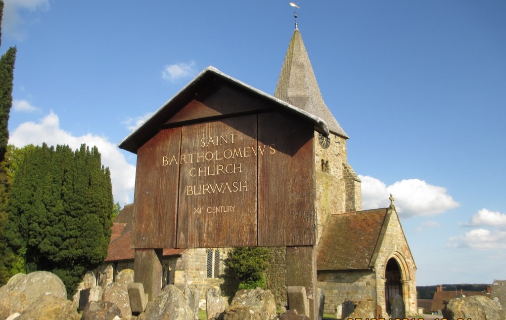
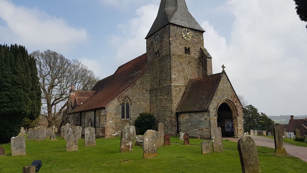
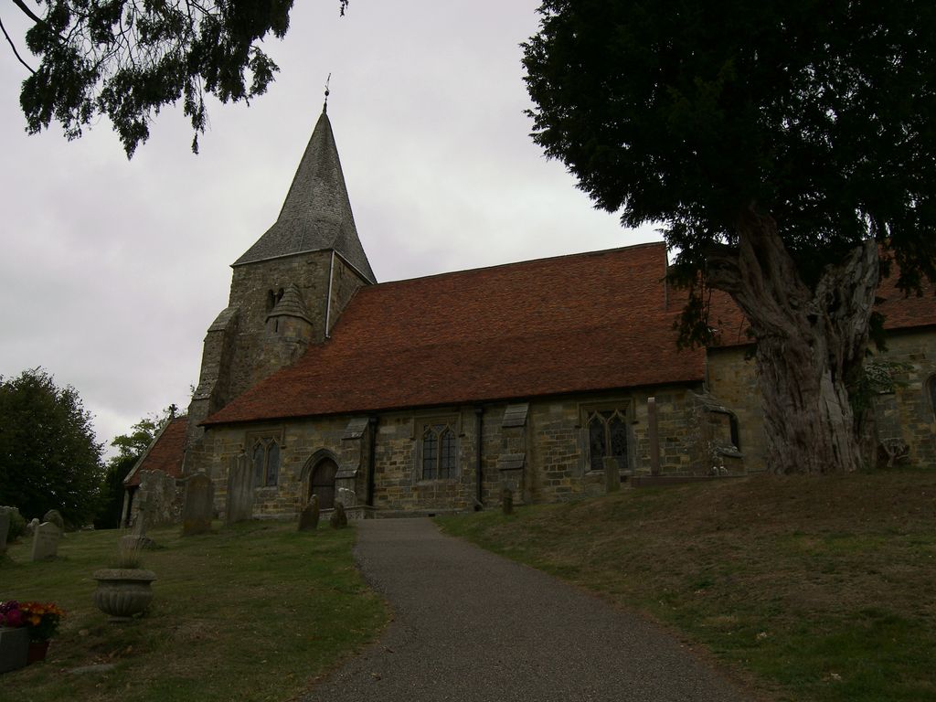
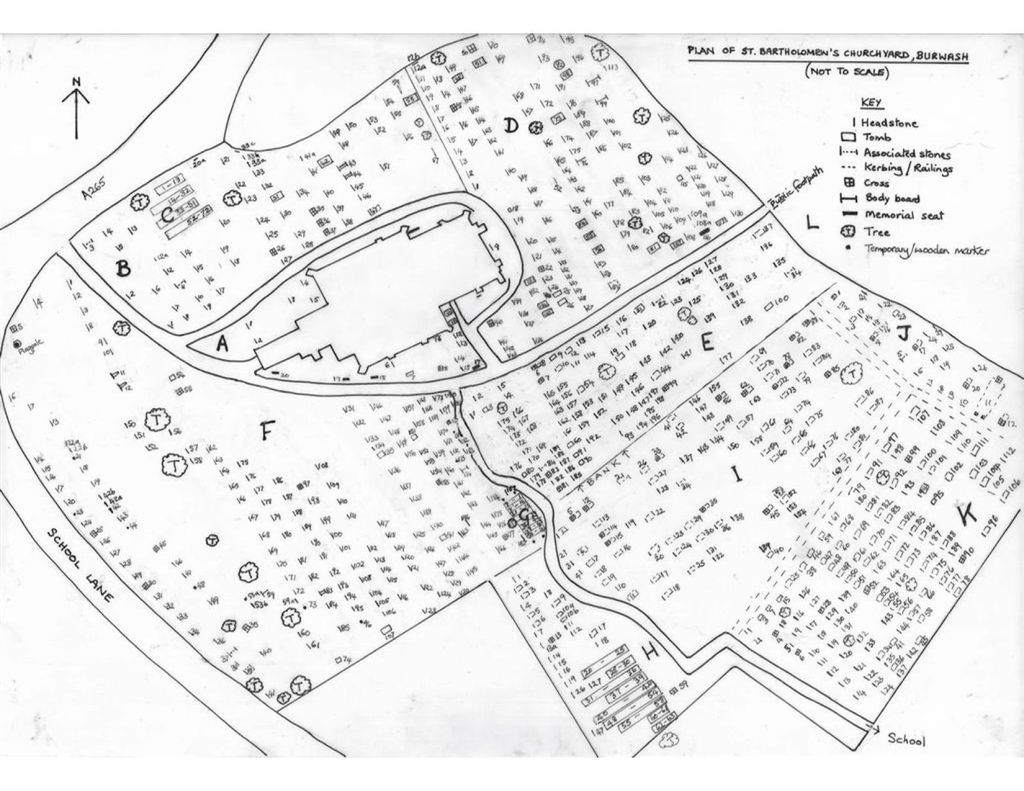
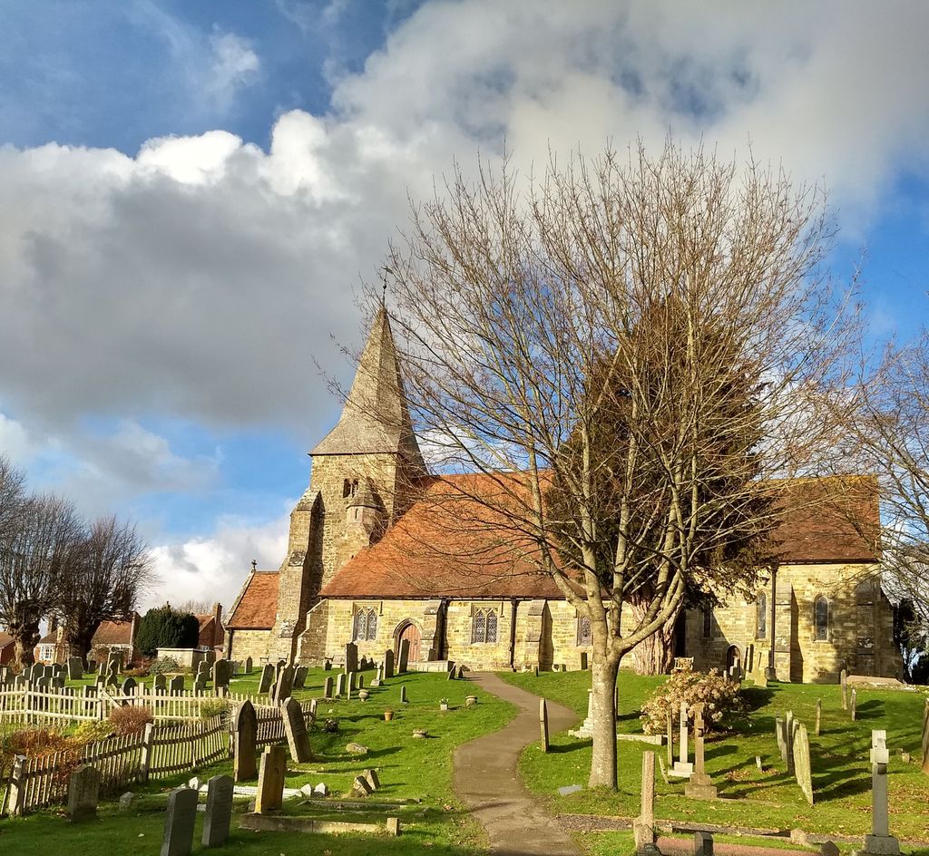
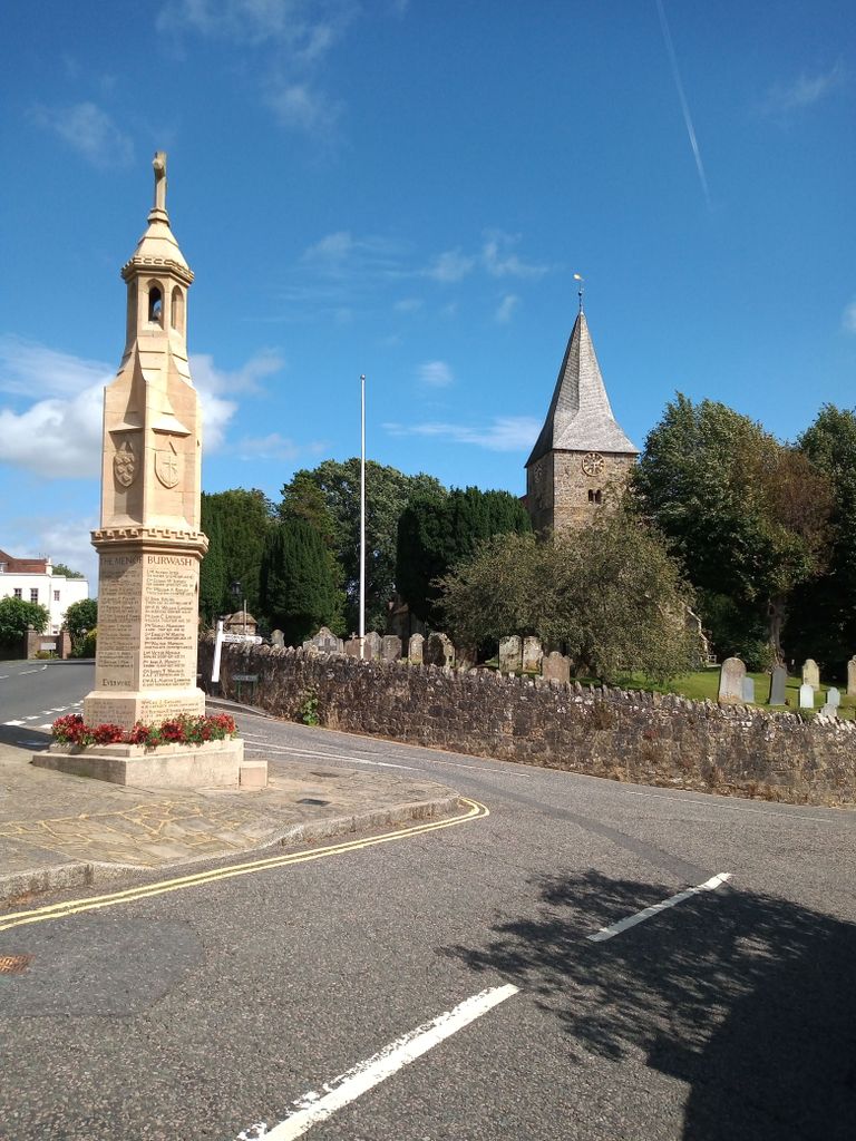
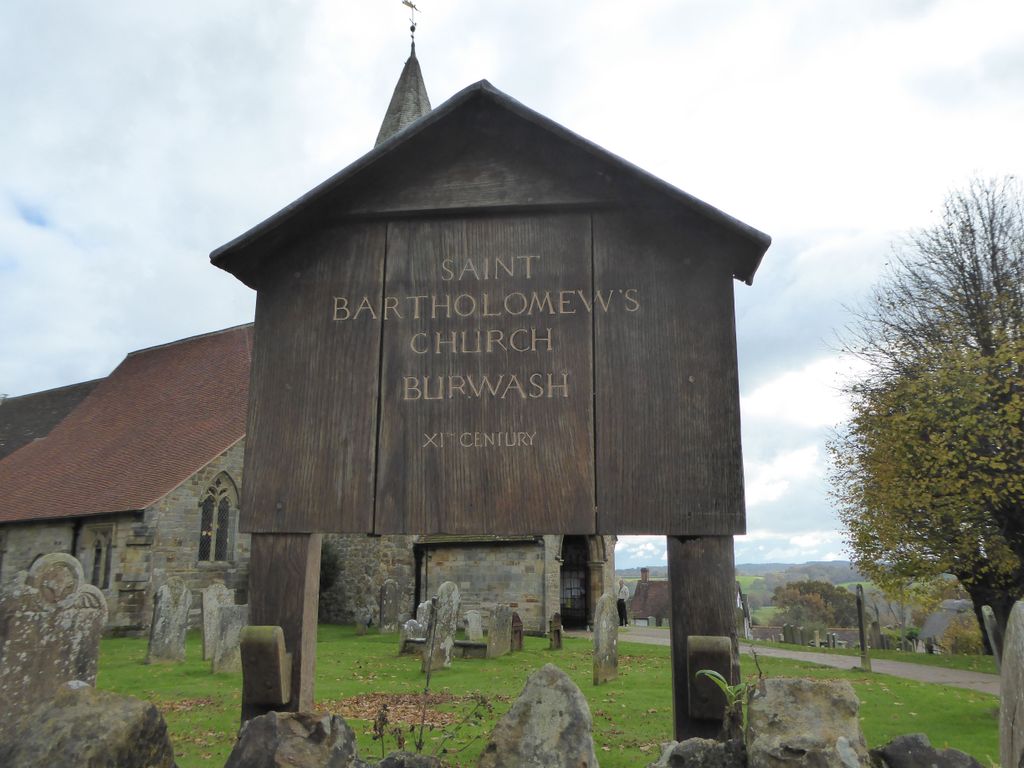
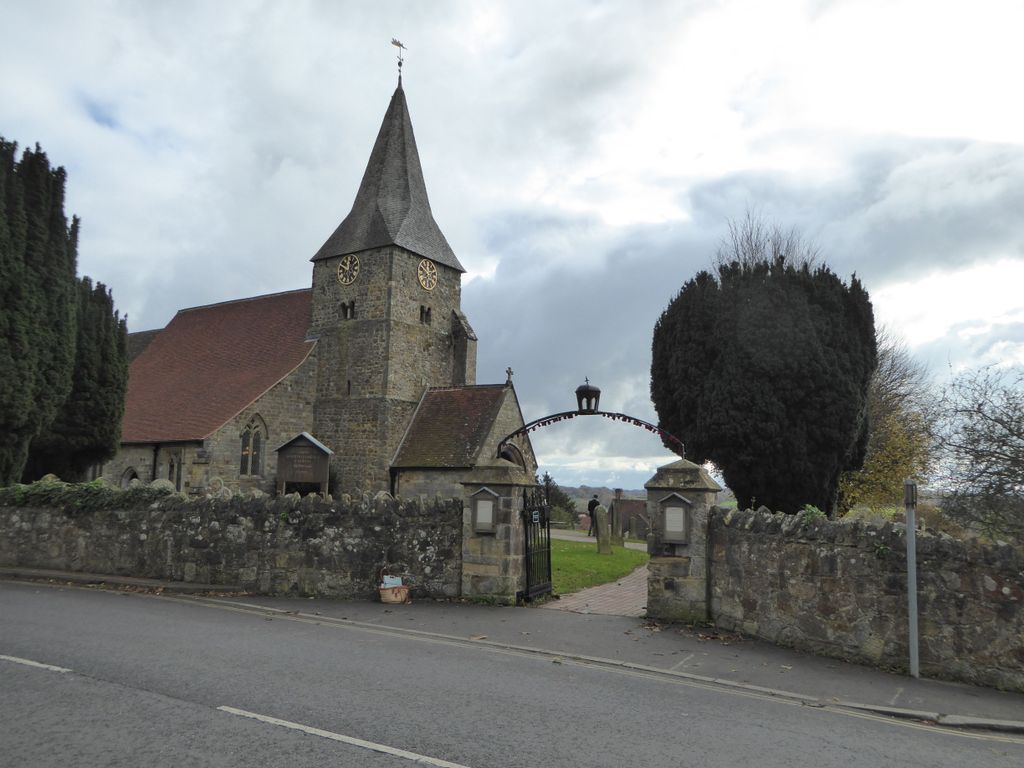
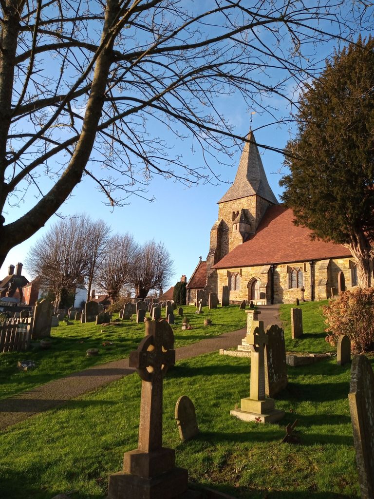
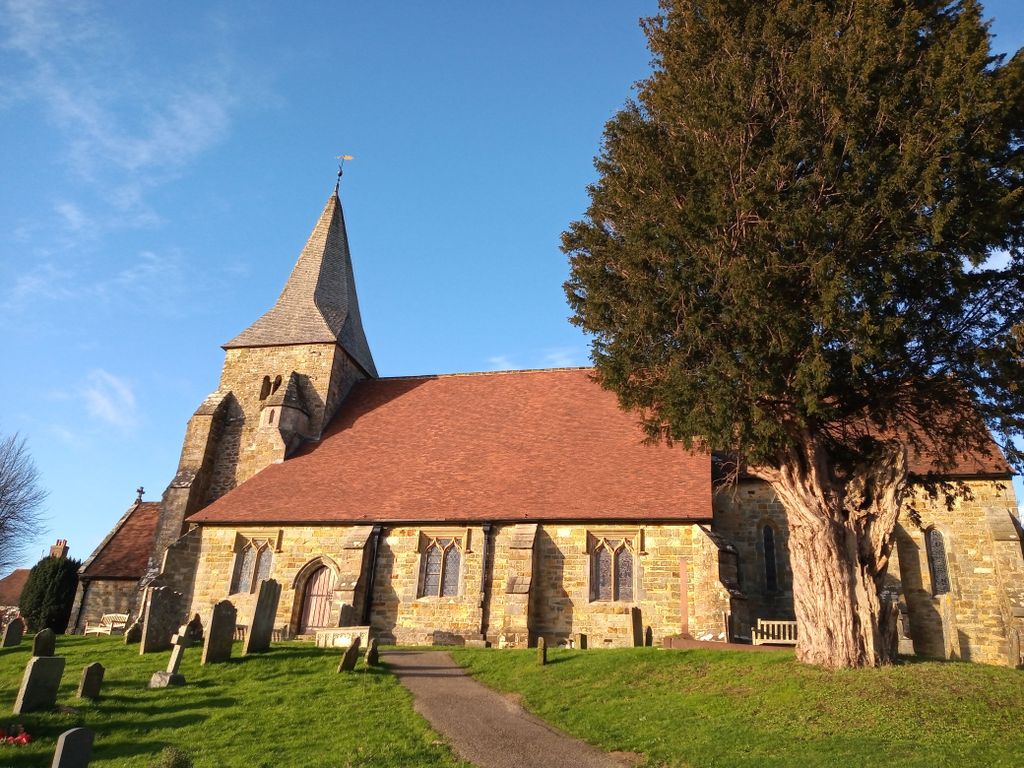
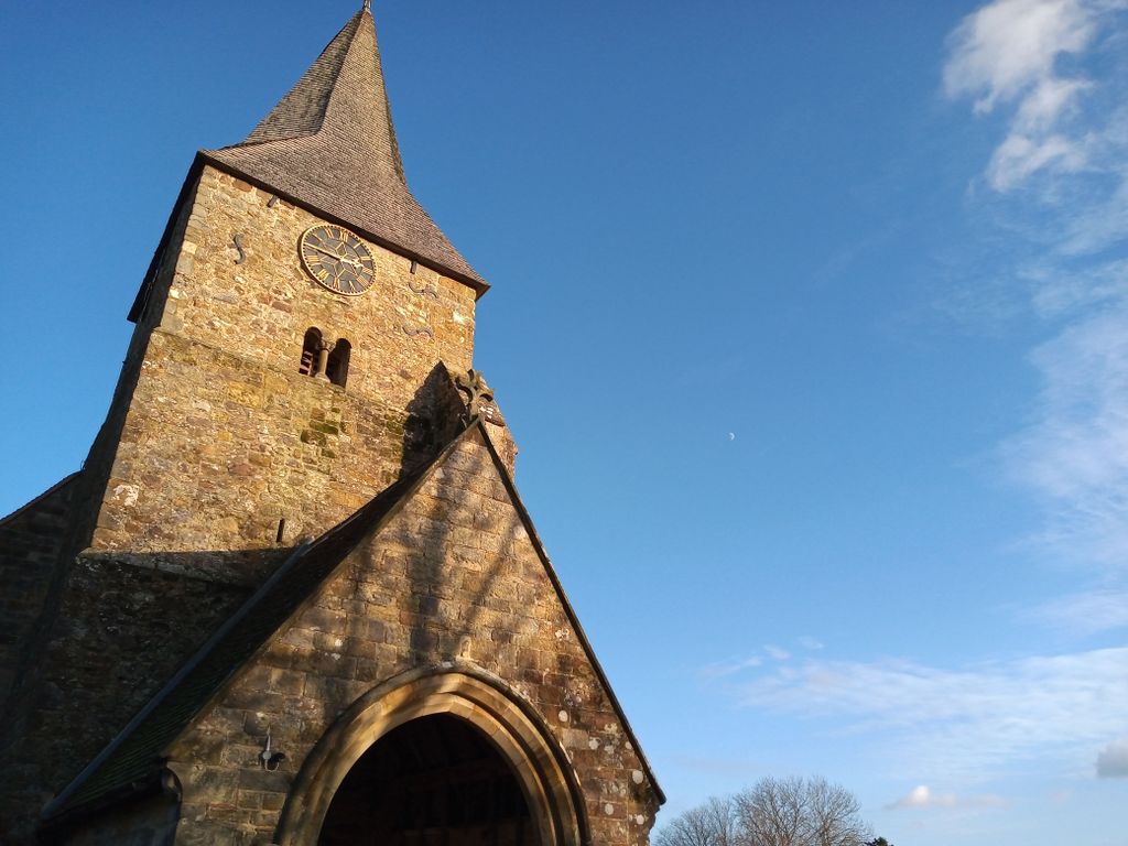
| Description | : | St. Bartholomew's is a stone and clay-tile church in the typical local style, originating in the 11th century, extensively enlarged in Victorian times but retaining much of the earlier periods. Rudyard Kipling lived at nearby Batemans. added by Wertypop |
frequently asked questions (FAQ):
-
Where is St. Bartholomew's Churchyard?
St. Bartholomew's Churchyard is located at Burwash, Rother District ,East Sussex ,England.
-
St. Bartholomew's Churchyard cemetery's updated grave count on graveviews.com?
1 memorials
-
Where are the coordinates of the St. Bartholomew's Churchyard?
Latitude: 50.9976470
Longitude: 0.3887490
Nearby Cemetories:
1. St. Joseph's Roman Catholic Churchyard
Burwash, Rother District, England
Coordinate: 50.9963500, 0.3782670
2. St. Peter's Churchyard
Stonegate, Rother District, England
Coordinate: 51.0303090, 0.3747690
3. St. Thomas A. Becket Churchyard
Brightling, Rother District, England
Coordinate: 50.9638440, 0.3961020
4. St Philips Churchyard
Burwash, Rother District, England
Coordinate: 50.9889020, 0.3350510
5. Assumption of Blessed Mary & St. Nicholas Church
Etchingham, Rother District, England
Coordinate: 51.0095830, 0.4416420
6. Darvell Bruderhof Cemetery
Robertsbridge, Rother District, England
Coordinate: 50.9790497, 0.4561470
7. St. Mary's Churchyard
Ticehurst, Rother District, England
Coordinate: 51.0454030, 0.4077110
8. St. Giles' Churchyard
Dallington, Rother District, England
Coordinate: 50.9470960, 0.3585090
9. Holy Trinity Churchyard
Hurst Green, Rother District, England
Coordinate: 51.0201400, 0.4691080
10. St Mary the Virgin Churchyard
Salehurst, Rother District, England
Coordinate: 50.9910170, 0.4911260
11. All Saints Churchyard
Mountfield, Rother District, England
Coordinate: 50.9558449, 0.4685820
12. Broad Oak Chapel
Heathfield, Wealden District, England
Coordinate: 50.9783950, 0.2860630
13. Punnett's Town Chapel Cemetery
Heathfield, Wealden District, England
Coordinate: 50.9617720, 0.2979720
14. Saint Augustine's Churchyard
Flimwell, Rother District, England
Coordinate: 51.0514170, 0.4580350
15. St John The Baptist Churchyard
Mountfield, Rother District, England
Coordinate: 50.9404170, 0.4512760
16. St. Peter & St. Paul Churchyard
Wadhurst, Wealden District, England
Coordinate: 51.0626960, 0.3400690
17. Tidebrook Churchyard
Wadhurst, Wealden District, England
Coordinate: 51.0467700, 0.3013730
18. St Michael the Archangel Churchyard
Penhurst, Rother District, England
Coordinate: 50.9235920, 0.4092830
19. Hawkhurst Cemetery
Hawkhurst, Tunbridge Wells Borough, England
Coordinate: 51.0302300, 0.5051300
20. All Saints Churchyard
Heathfield, Wealden District, England
Coordinate: 50.9599190, 0.2748190
21. St. Laurence Churchyard
Hawkhurst, Tunbridge Wells Borough, England
Coordinate: 51.0377240, 0.5031610
22. Mayfield School Chapel
Mayfield, Wealden District, England
Coordinate: 51.0212245, 0.2614751
23. St. Dunstan Churchyard
Mayfield, Wealden District, England
Coordinate: 51.0207710, 0.2605280
24. Convent of the Holy Child
Mayfield, Wealden District, England
Coordinate: 51.0216780, 0.2609150