
| Memorials | : | 0 |
| Location | : | St Ives, Huntingdonshire District, England |
| Coordinate | : | 52.3442700, -0.0854900 |
| Description | : | St Ives is a market town and civil parish in Cambridgeshire, England. St Ives lies approximately 5 miles east of Huntingdon and 12 miles north-west of the city of Cambridge. It is situated within Huntingdonshire which is a non-metropolitan district of Cambridgeshire as well as being a historic county of England. Previously called Slepe, its name was changed to St Ives after the body, claimed to be that of a Persian bishop, of Saint Ivo (not to be confused with Ivo of Kermartin), was found buried in the town in about 1001/2. The town name is featured in the anonymous... Read More |
frequently asked questions (FAQ):
-
Where is Ramsey Road Cemetery?
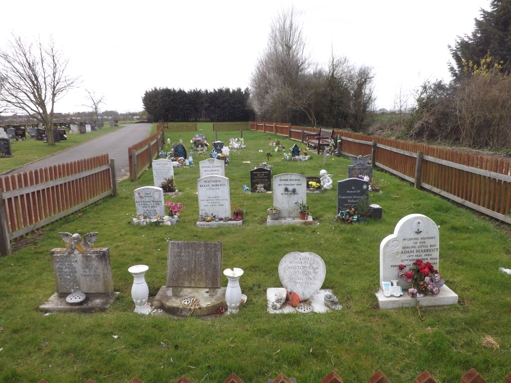
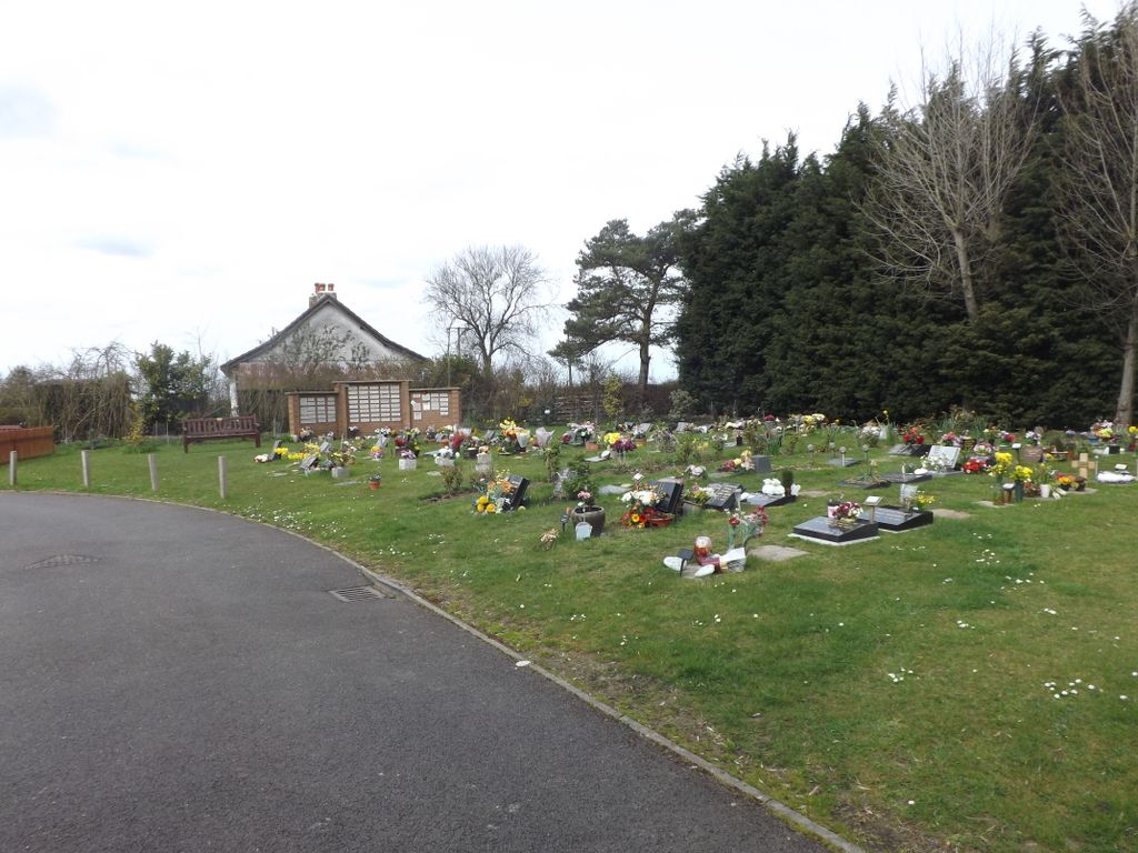
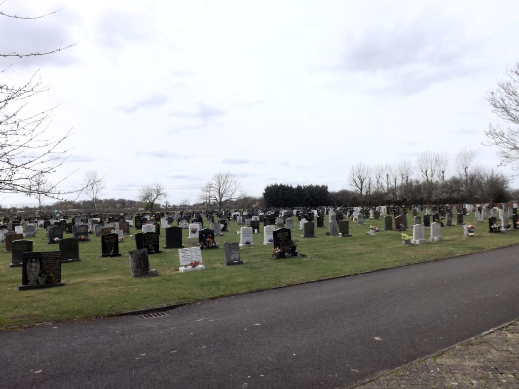
Ramsey Road Cemetery is located at Ramsey Road St Ives, Huntingdonshire District ,Cambridgeshire ,England.
-
Ramsey Road Cemetery cemetery's updated grave count on graveviews.com?
0 memorials
-
Where are the coordinates of the Ramsey Road Cemetery?
Latitude: 52.3442700
Longitude: -0.0854900
Nearby Cemetories:
1. St Ives Church Cemetery
St Ives, Huntingdonshire District, England
Coordinate: 52.3287800, -0.0821800
2. St. Ives All Saints Churchyard
St Ives, Huntingdonshire District, England
Coordinate: 52.3265900, -0.0794200
3. All Saints Churchyard
St Ives, Huntingdonshire District, England
Coordinate: 52.3265800, -0.0794490
4. St Ives Public Cemetery
St Ives, Huntingdonshire District, England
Coordinate: 52.3264600, -0.0744300
5. Houghton and Wyton Burial Ground
Wyton, Huntingdonshire District, England
Coordinate: 52.3352100, -0.1135900
6. St Mary The Virgin
Houghton, Huntingdonshire District, England
Coordinate: 52.3320200, -0.1213200
7. Houghton Chapel
Houghton, Huntingdonshire District, England
Coordinate: 52.3322400, -0.1219200
8. Saint James Churchyard
Hemingford Grey, Huntingdonshire District, England
Coordinate: 52.3206701, -0.1051653
9. St Margaret and All Saints Churchyard
Wyton, Huntingdonshire District, England
Coordinate: 52.3335810, -0.1257620
10. St Margaret of Antioch Churchyard
Hemingford Abbots, Huntingdonshire District, England
Coordinate: 52.3237400, -0.1192820
11. Hemingford Grey Cemetery
Hemingford Grey, Huntingdonshire District, England
Coordinate: 52.3162700, -0.1008800
12. St Peter's Churchyard
Huntingdonshire District, England
Coordinate: 52.3782650, -0.0914604
13. St. John the Baptist Churchyard
Holywell, Huntingdonshire District, England
Coordinate: 52.3189200, -0.0402900
14. Fenstanton Cemetery
Fenstanton, Huntingdonshire District, England
Coordinate: 52.3013000, -0.0650700
15. St. Peter and St. Paul Churchyard
Fenstanton, Huntingdonshire District, England
Coordinate: 52.3009610, -0.0653900
16. All Saints Churchyard
Broughton, Huntingdonshire District, England
Coordinate: 52.3842502, -0.1198858
17. All Saints Churchyard
Huntingdon, Huntingdonshire District, England
Coordinate: 52.3366363, -0.1607257
18. All Saints Churchyard
Pidley, Huntingdonshire District, England
Coordinate: 52.3863792, -0.0513670
19. St Peter Churchyard
Kings Ripton, Huntingdonshire District, England
Coordinate: 52.3725600, -0.1487900
20. Warboys Church Cemetery
Warboys, Huntingdonshire District, England
Coordinate: 52.3983080, -0.0875820
21. Primrose Lane Lawn Cemetery
Huntingdonshire District, England
Coordinate: 52.3334666, -0.1760611
22. St Mary Magdalene Churchyard
Warboys, Huntingdonshire District, England
Coordinate: 52.4012820, -0.0867350
23. Baptist Church Cemetery
Bluntisham, Huntingdonshire District, England
Coordinate: 52.3525450, 0.0075530
24. St Mary Churchyard
Fen Drayton, South Cambridgeshire District, England
Coordinate: 52.2948320, -0.0369930