
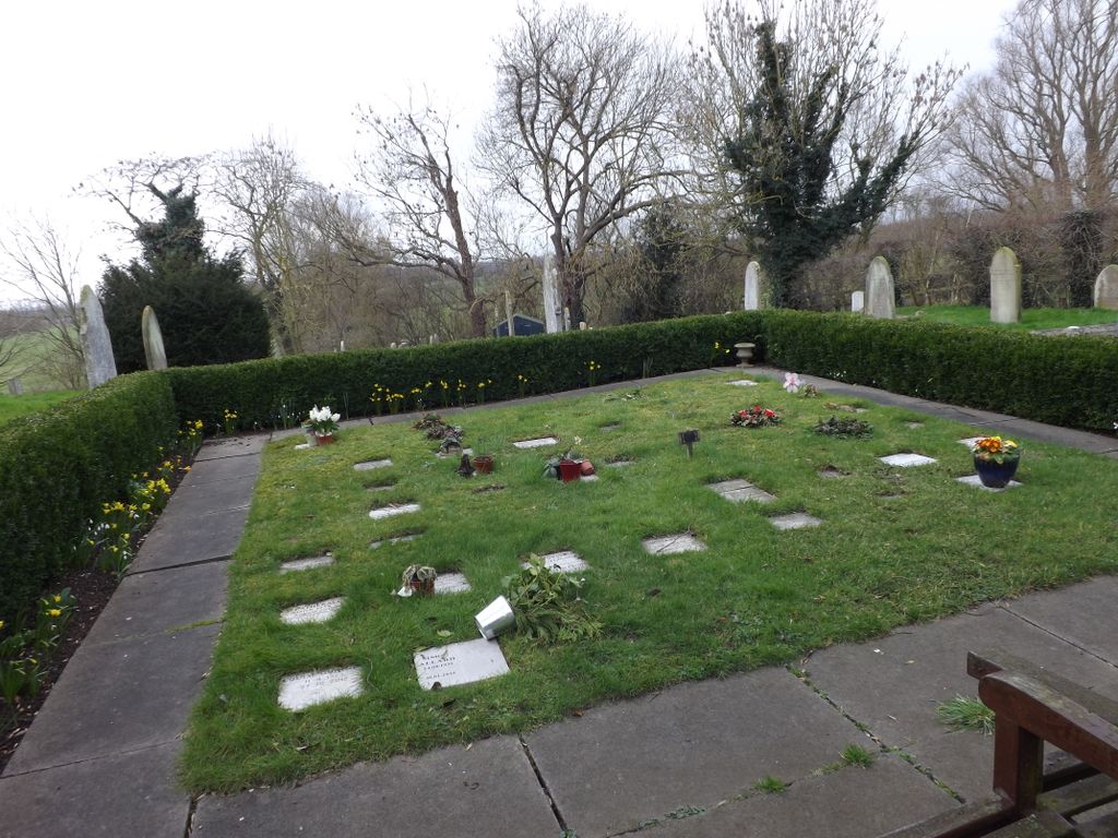
| Memorials | : | 0 |
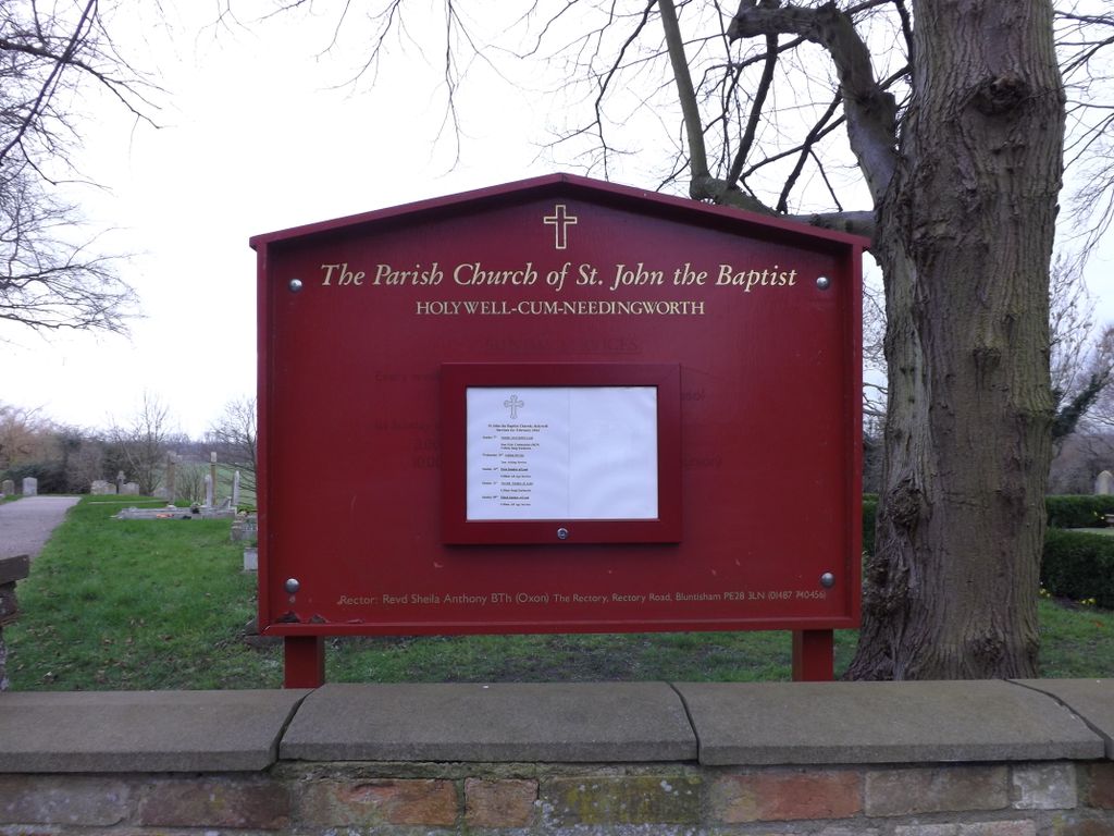
| Location | : | Holywell, Huntingdonshire District, England |
| Coordinate | : | 52.3189200, -0.0402900 |
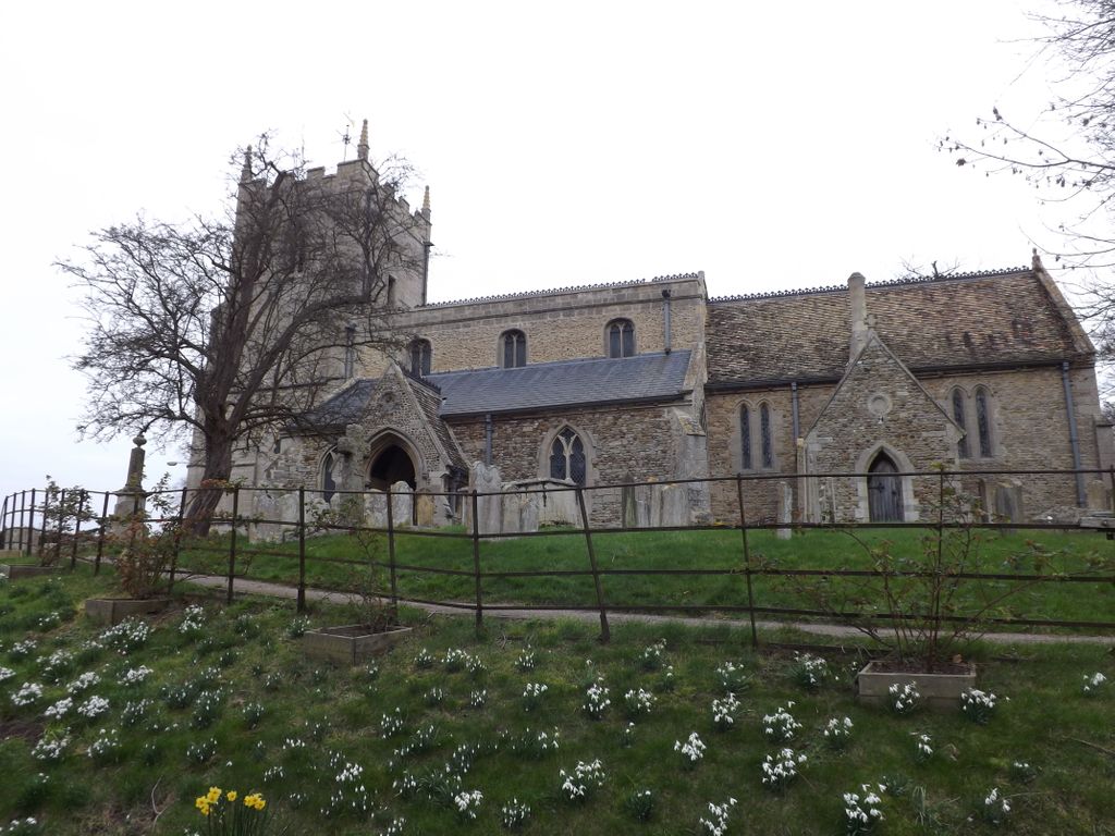
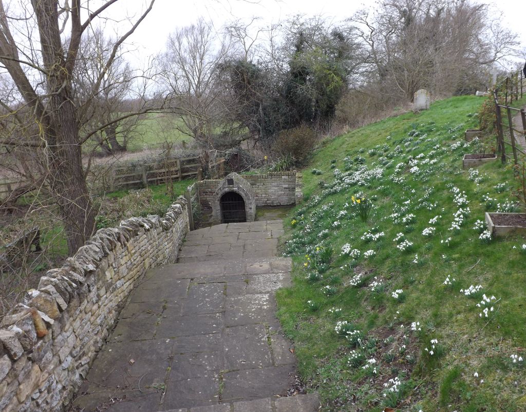
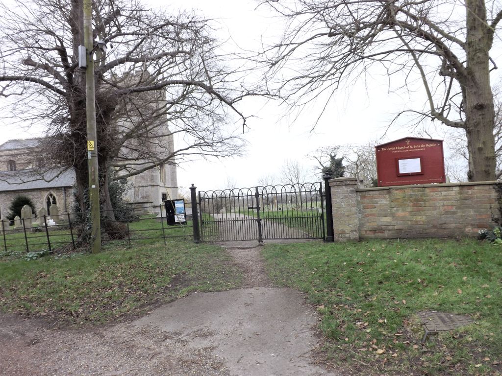
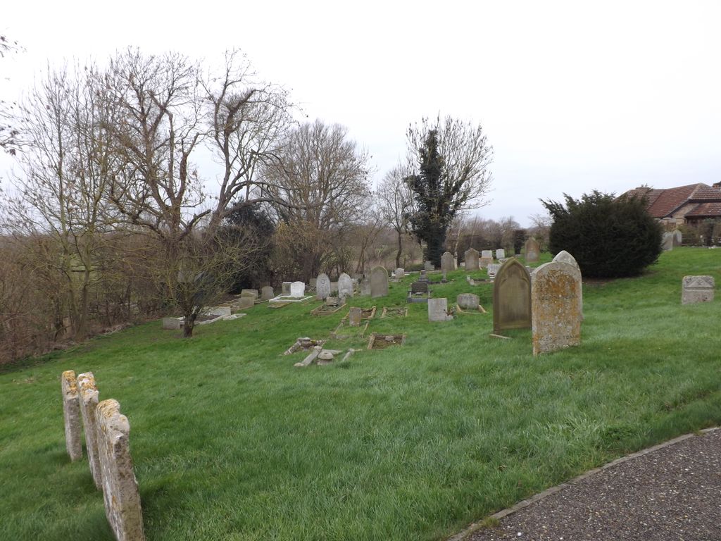
| Description | : | St John the Baptist is the parish church of the villages of Needingworth and Holywell; there has been a church on this site since 990 AD. The present church dates from the 13th century (the tower was added in the 16th century, reputedly acquired from Ramsey Abbey). In the churchyard stands the Holy Well, the spring which gives the surrounding village its name, venerated for its healing properties since pre-Christian times. Every year on the weekend before 24th June (Feast of St John the Baptist) the centre-piece of the Patronal Festival is the Well-dressing, one of the very few examples... Read More |
frequently asked questions (FAQ):
-
Where is St. John the Baptist Churchyard?
St. John the Baptist Churchyard is located at Holywell Front Holywell, Huntingdonshire District ,Cambridgeshire , PE27 4TGEngland.
-
St. John the Baptist Churchyard cemetery's updated grave count on graveviews.com?
0 memorials
-
Where are the coordinates of the St. John the Baptist Churchyard?
Latitude: 52.3189200
Longitude: -0.0402900
Nearby Cemetories:
1. St Ives Public Cemetery
St Ives, Huntingdonshire District, England
Coordinate: 52.3264600, -0.0744300
2. Fenstanton Cemetery
Fenstanton, Huntingdonshire District, England
Coordinate: 52.3013000, -0.0650700
3. St. Peter and St. Paul Churchyard
Fenstanton, Huntingdonshire District, England
Coordinate: 52.3009610, -0.0653900
4. St Mary Churchyard
Fen Drayton, South Cambridgeshire District, England
Coordinate: 52.2948320, -0.0369930
5. St. Ives All Saints Churchyard
St Ives, Huntingdonshire District, England
Coordinate: 52.3265900, -0.0794200
6. All Saints Churchyard
St Ives, Huntingdonshire District, England
Coordinate: 52.3265800, -0.0794490
7. St. Andrew's Churchyard
Swavesey, South Cambridgeshire District, England
Coordinate: 52.3050100, -0.0025700
8. St Ives Church Cemetery
St Ives, Huntingdonshire District, England
Coordinate: 52.3287800, -0.0821800
9. Over Baptist Cemetery
Over, South Cambridgeshire District, England
Coordinate: 52.3127700, 0.0081700
10. St. Mary's Churchyard
Over, South Cambridgeshire District, England
Coordinate: 52.3177400, 0.0119500
11. Hemingford Grey Cemetery
Hemingford Grey, Huntingdonshire District, England
Coordinate: 52.3162700, -0.1008800
12. Ramsey Road Cemetery
St Ives, Huntingdonshire District, England
Coordinate: 52.3442700, -0.0854900
13. Saint James Churchyard
Hemingford Grey, Huntingdonshire District, England
Coordinate: 52.3206701, -0.1051653
14. Baptist Church Cemetery
Bluntisham, Huntingdonshire District, England
Coordinate: 52.3525450, 0.0075530
15. St Mary Churchyard
Conington, South Cambridgeshire District, England
Coordinate: 52.2768320, -0.0665850
16. St. Mary's Churchyard
Bluntisham, Huntingdonshire District, England
Coordinate: 52.3510300, 0.0135590
17. Houghton and Wyton Burial Ground
Wyton, Huntingdonshire District, England
Coordinate: 52.3352100, -0.1135900
18. St Margaret of Antioch Churchyard
Hemingford Abbots, Huntingdonshire District, England
Coordinate: 52.3237400, -0.1192820
19. St Mary The Virgin
Houghton, Huntingdonshire District, England
Coordinate: 52.3320200, -0.1213200
20. Houghton Chapel
Houghton, Huntingdonshire District, England
Coordinate: 52.3322400, -0.1219200
21. St Margaret and All Saints Churchyard
Wyton, Huntingdonshire District, England
Coordinate: 52.3335810, -0.1257620
22. Graveyard of St. Helen's Old Church
Colne, Huntingdonshire District, England
Coordinate: 52.3661989, 0.0058234
23. St. Peter's Churchyard
Boxworth, South Cambridgeshire District, England
Coordinate: 52.2620660, -0.0257910
24. Longstanton Cemetery
Longstanton, South Cambridgeshire District, England
Coordinate: 52.2800010, 0.0433180