| Memorials | : | 10 |
| Location | : | Kleve, Kreis Kleve, Germany |
| Coordinate | : | 51.7406464, 6.0824242 |
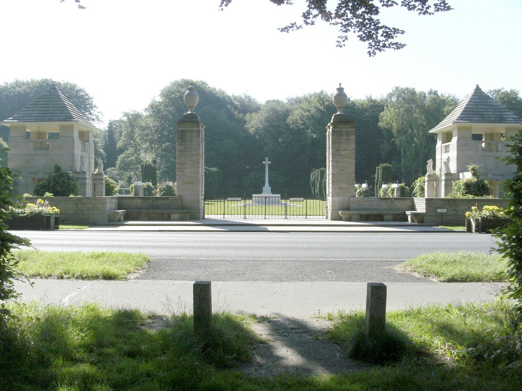
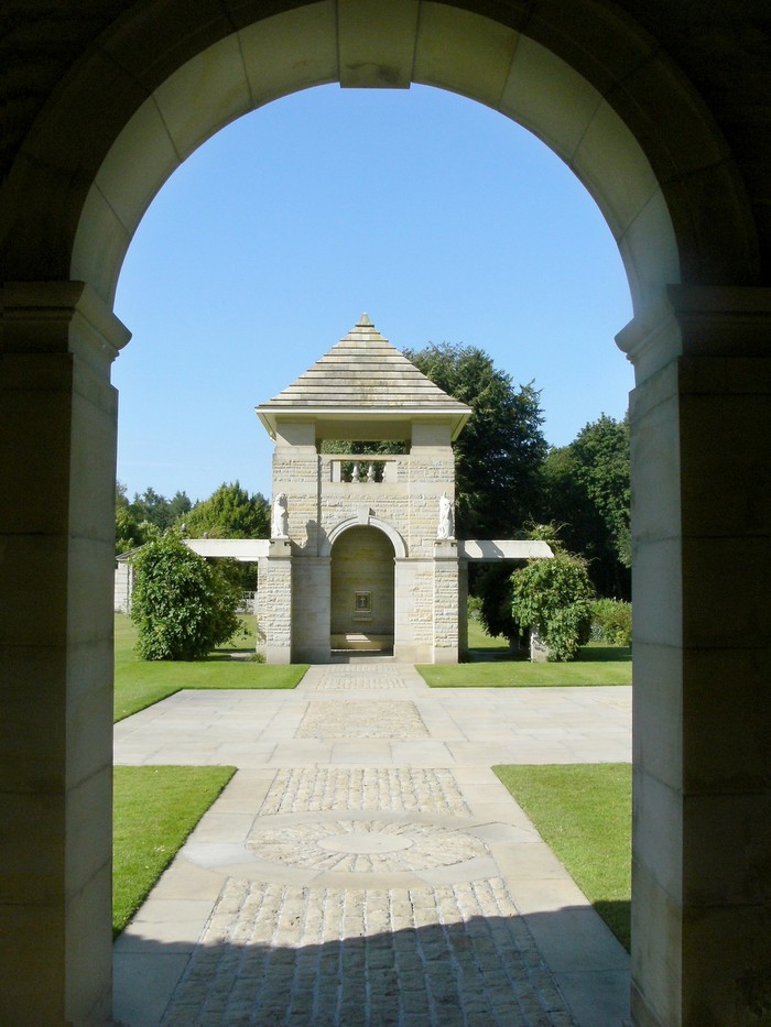
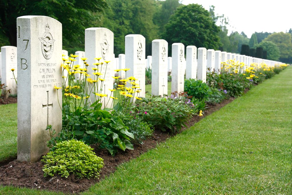
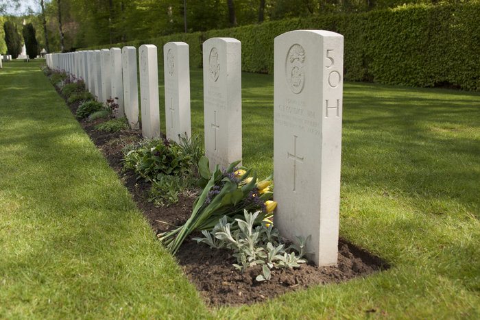
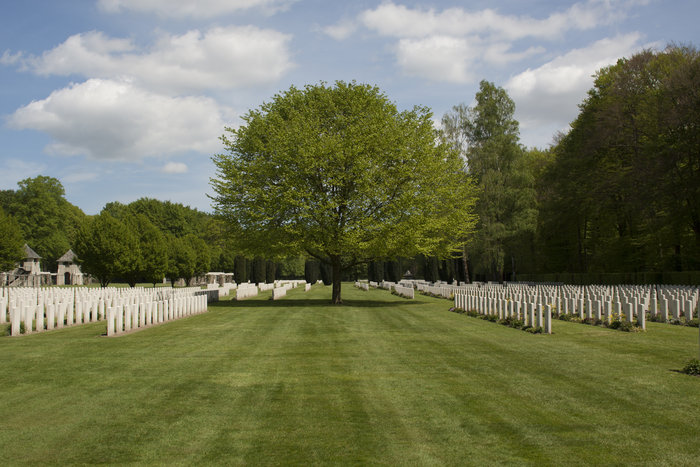
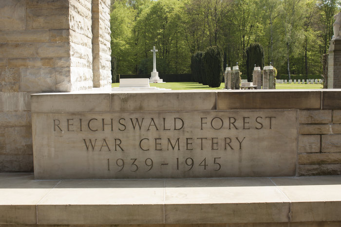
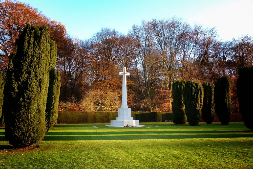
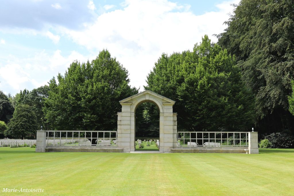
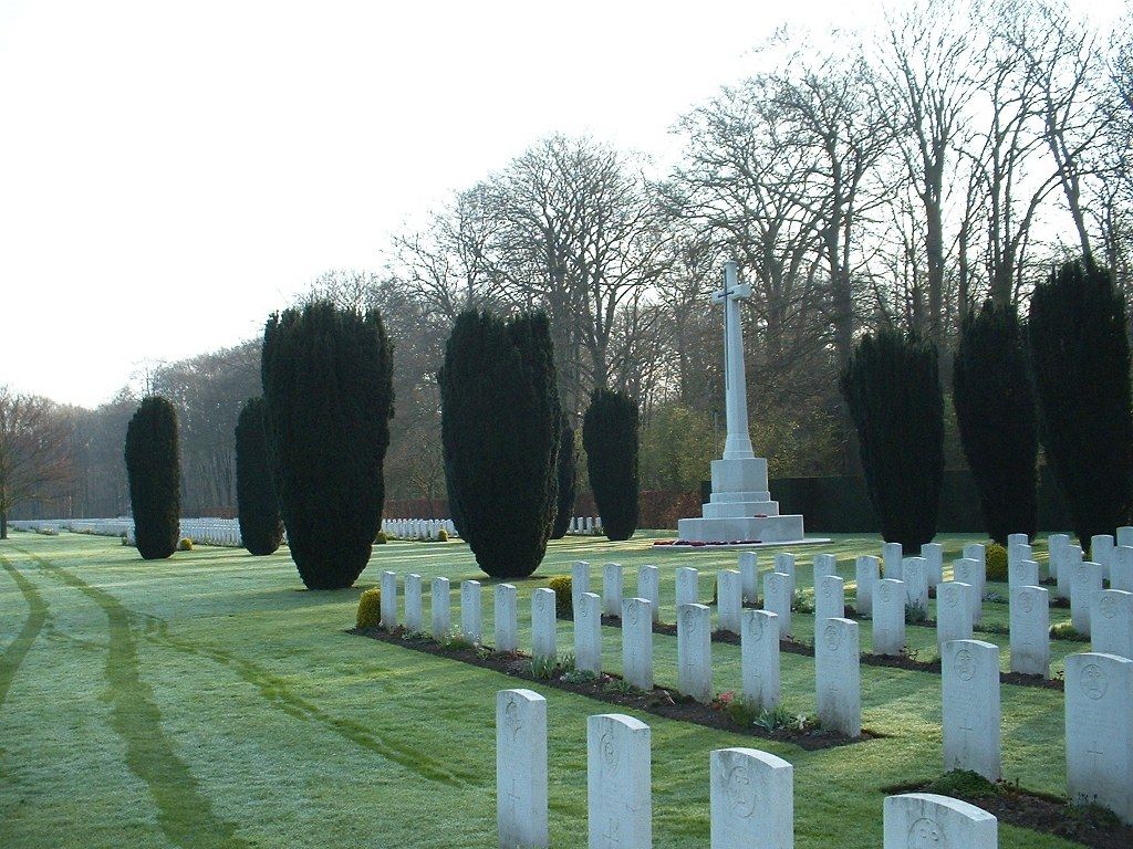
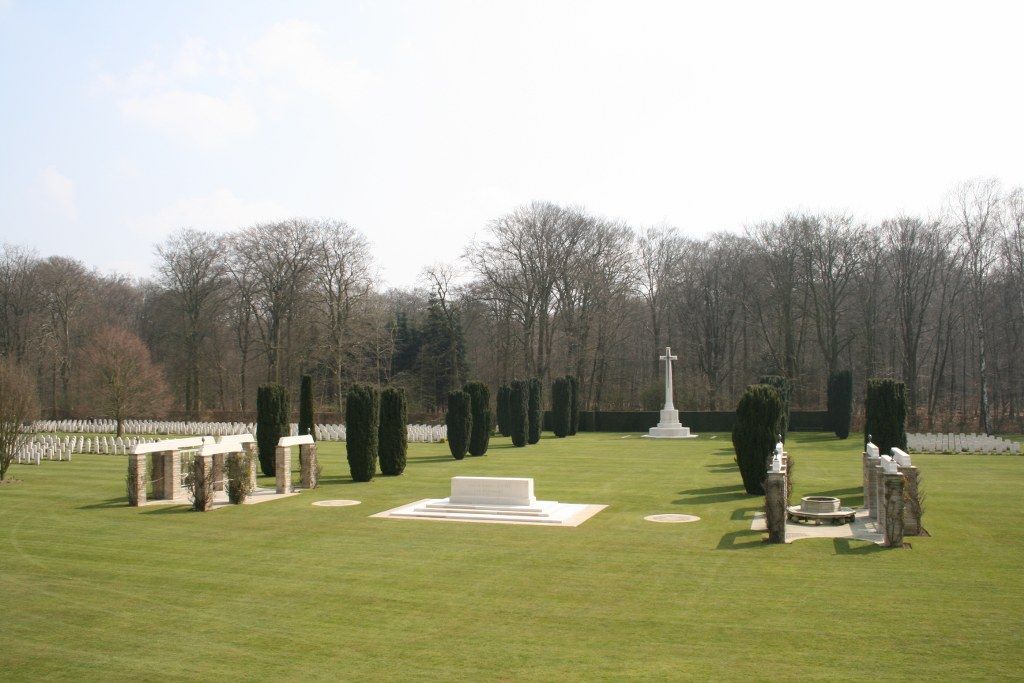
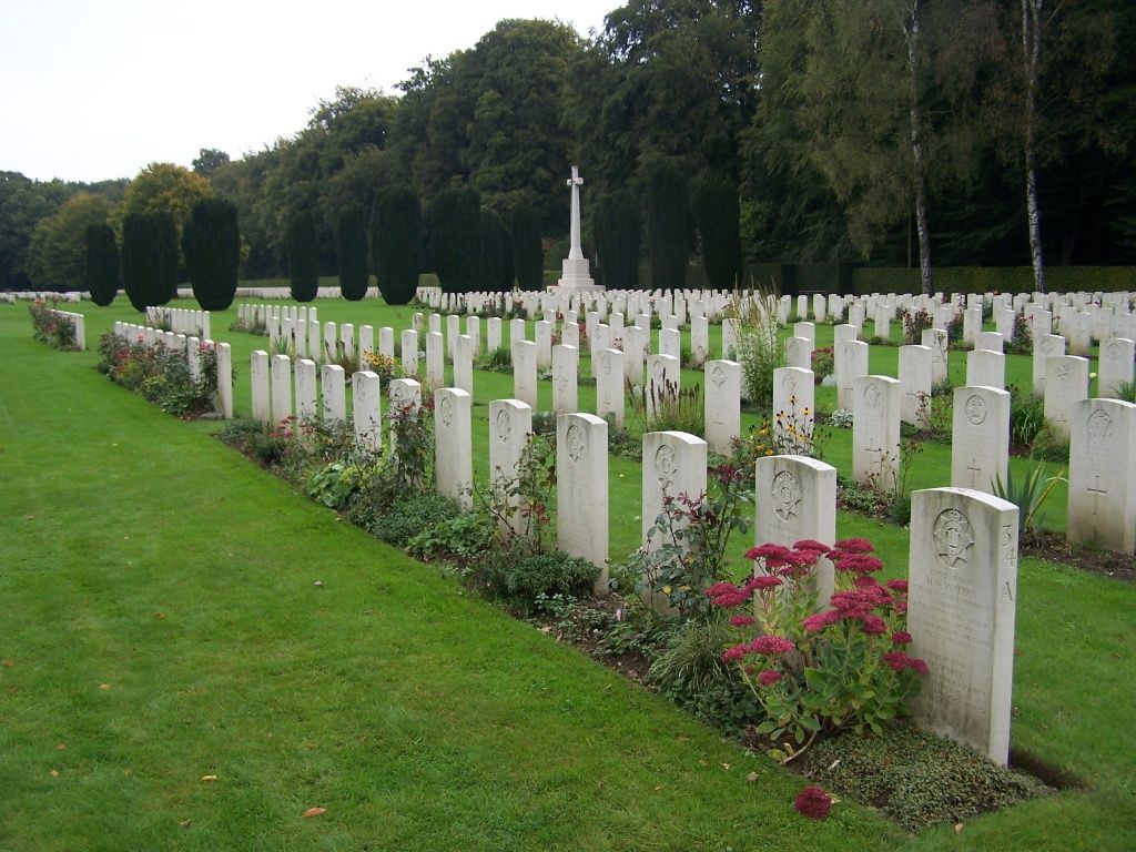
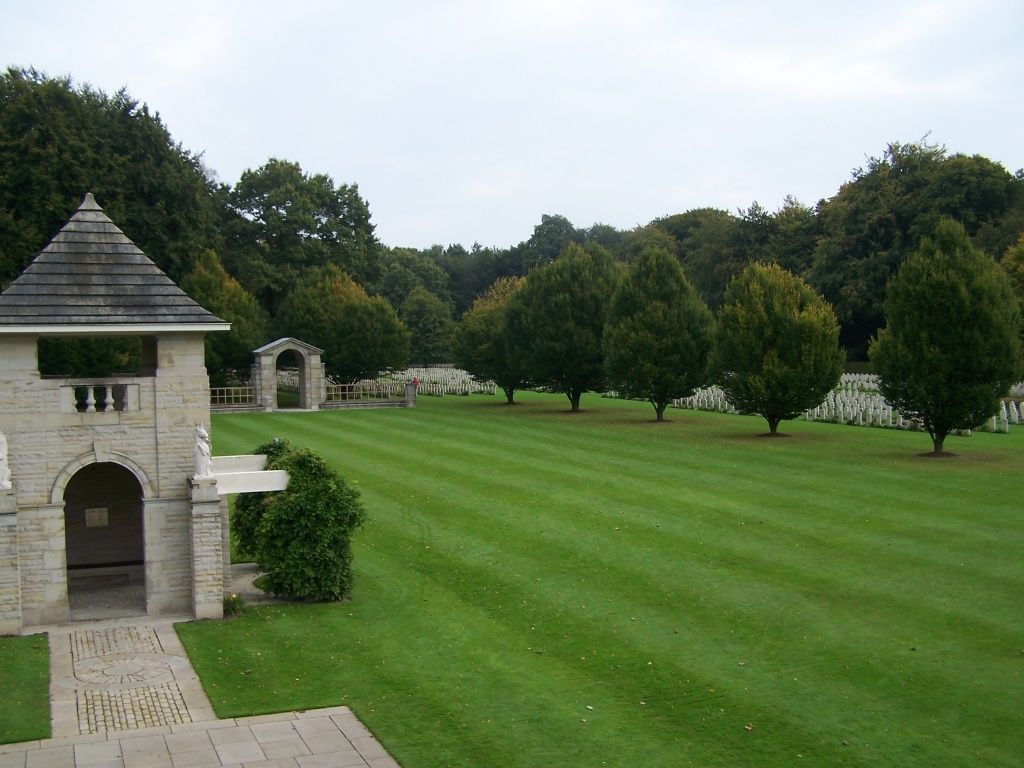
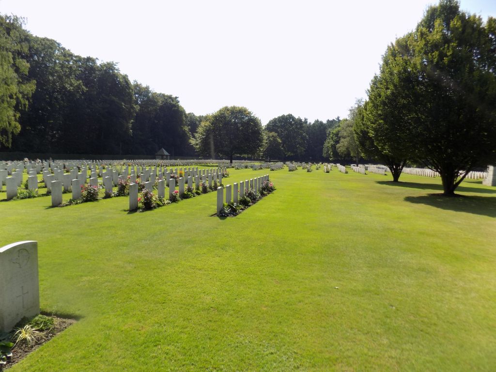
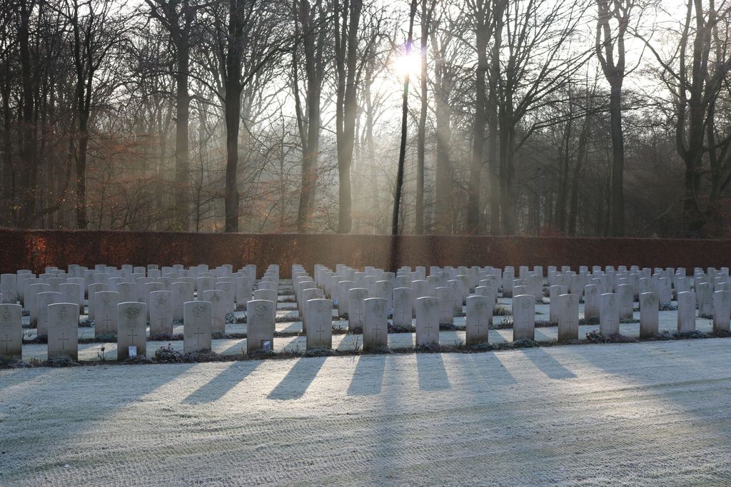
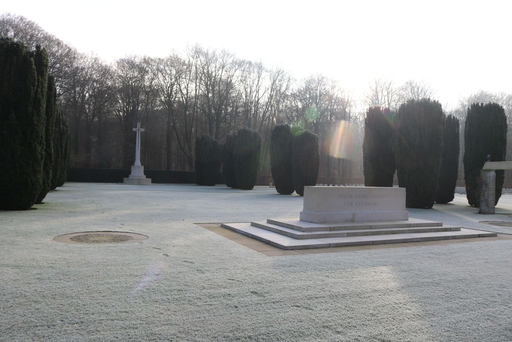
| Description | : | Reichswald Forest War Cemetery was created after the Second World War when burials were brought in from all over western Germany and is the largest Commonwealth cemetery in the country. Some of those members of the land forces buried there died in the advance through Reichswald Forest in February 1945. Others died crossing the Rhine, among them members of the airborne forces whose bodies were brought from Hamminkeln, where landings were made by the 6th Airborne Division from bases in England. Some of the airmen buried in the cemetery lost their lives in supporting the advance into Germany, but most... Read More |
frequently asked questions (FAQ):
-
Where is Reichswald Forest War Cemetery?
Reichswald Forest War Cemetery is located at Kleve, Kreis Kleve ,Nordrhein-Westfalen ,Germany.
-
Reichswald Forest War Cemetery cemetery's updated grave count on graveviews.com?
8 memorials
-
Where are the coordinates of the Reichswald Forest War Cemetery?
Latitude: 51.7406464
Longitude: 6.0824242
Nearby Cemetories:
1. Friedhof Nütterden
Kranenburg, Kreis Kleve, Germany
Coordinate: 51.7904340, 6.0629380
2. Saint Vincentius Kath. Asperden
Asperden, Kreis Kleve, Germany
Coordinate: 51.6929200, 6.1134800
3. Ottersum Roman Catholic Cemetery
Ottersum, Gennep Municipality, Netherlands
Coordinate: 51.7020800, 5.9824600
4. Milsbeek War Cemetery
Milsbeek, Gennep Municipality, Netherlands
Coordinate: 51.7254400, 5.9511900
5. Saint Bonifacius
Niel, Kreis Kleve, Germany
Coordinate: 51.8261350, 6.0182900
6. Friedhof Griethausen
Sinstorf, Harburg, Germany
Coordinate: 51.8213100, 6.1664800
7. Groesbeek Canadian War Cemetery and Memorial
Groesbeek, Berg en Dal Municipality, Netherlands
Coordinate: 51.7982900, 5.9321900
8. Afferden Begraafplaats
Afferden, Bergen Municipality, Netherlands
Coordinate: 51.6349100, 6.0131700
9. Friedhof Bimmen
Bimmen, Kreis Kleve, Germany
Coordinate: 51.8588737, 6.0695000
10. Tolkamer General Cemetery
Tolkamer, Rijnwaarden Municipality, Netherlands
Coordinate: 51.8610900, 6.0814200
11. Mook-en-Middelaar Roman Catholic Churchyard
Mook, Mook en Middelaar Municipality, Netherlands
Coordinate: 51.7531600, 5.8854200
12. Mook War Cemetery
Mook, Mook en Middelaar Municipality, Netherlands
Coordinate: 51.7541200, 5.8854300
13. Städtischer Friedhof
Kalkar, Kreis Kleve, Germany
Coordinate: 51.7388423, 6.2880522
14. Boxmeer Roman Catholic Churchyard
Boxmeer, Boxmeer Municipality, Netherlands
Coordinate: 51.6427910, 5.9497830
15. Jüdischer Friedhof
Kalkar, Kreis Kleve, Germany
Coordinate: 51.7405871, 6.2954199
16. Heilig Landstichting Burial Park
Heilig Landstichting, Berg en Dal Municipality, Netherlands
Coordinate: 51.8173600, 5.8907100
17. Friedhof Emmerich
Emmerich, Kreis Kleve, Germany
Coordinate: 51.8393300, 6.2479200
18. Jüdischer Friedhof
Emmerich, Kreis Kleve, Germany
Coordinate: 51.8370156, 6.2535498
19. Herwen Roman Catholic Churchyard
Herwen, Rijnwaarden Municipality, Netherlands
Coordinate: 51.8844900, 6.1035900
20. Begraafplaats Het Witte Kerkje
Ubbergen, Berg en Dal Municipality, Netherlands
Coordinate: 51.8361166, 5.9018954
21. Joodse Begraafplaats
Nijmegen, Nijmegen Municipality, Netherlands
Coordinate: 51.8308300, 5.8836000
22. Joodse Begraafplaats
Vierlingsbeek, Boxmeer Municipality, Netherlands
Coordinate: 51.5961600, 6.0010200
23. Rustoord Cemetery
Nijmegen, Nijmegen Municipality, Netherlands
Coordinate: 51.8305100, 5.8808600
24. Emmerich-Dornick
Emmerich, Kreis Kleve, Germany
Coordinate: 51.8110340, 6.3060959

