
| Memorials | : | 1 |
| Location | : | Caversham, Reading Borough, England |
| Coordinate | : | 51.4686597, -0.9807669 |
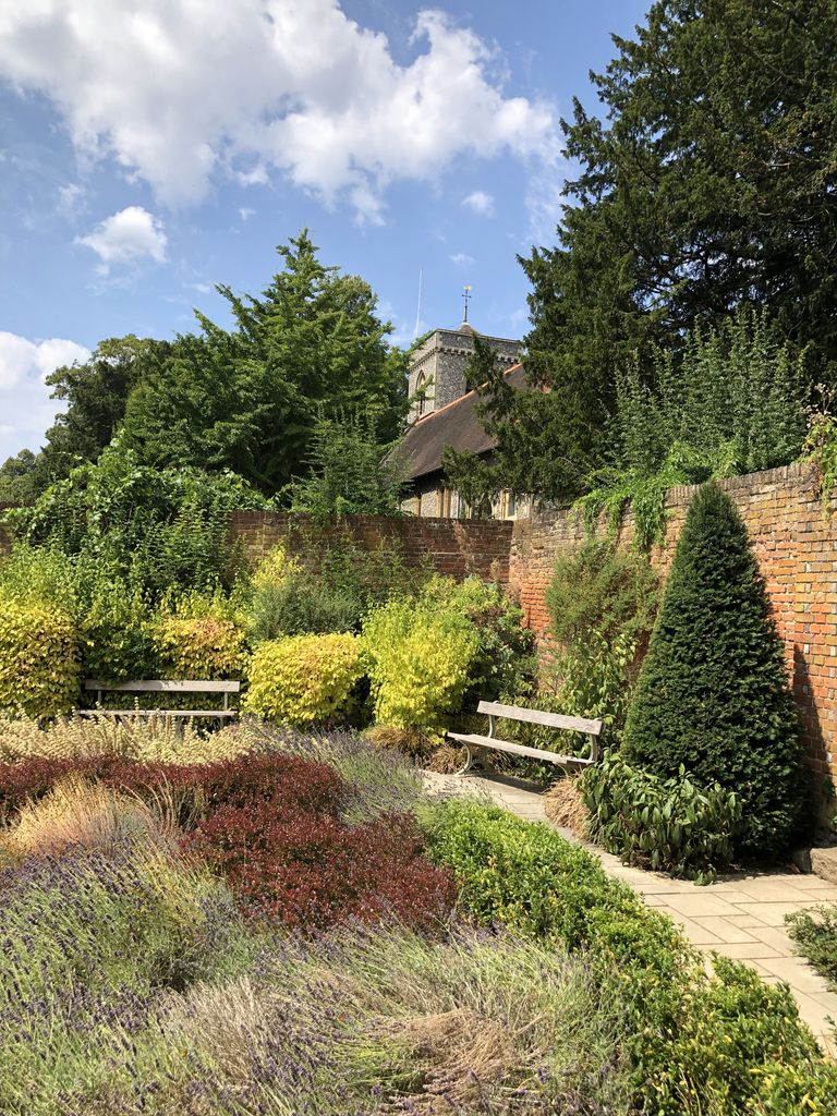
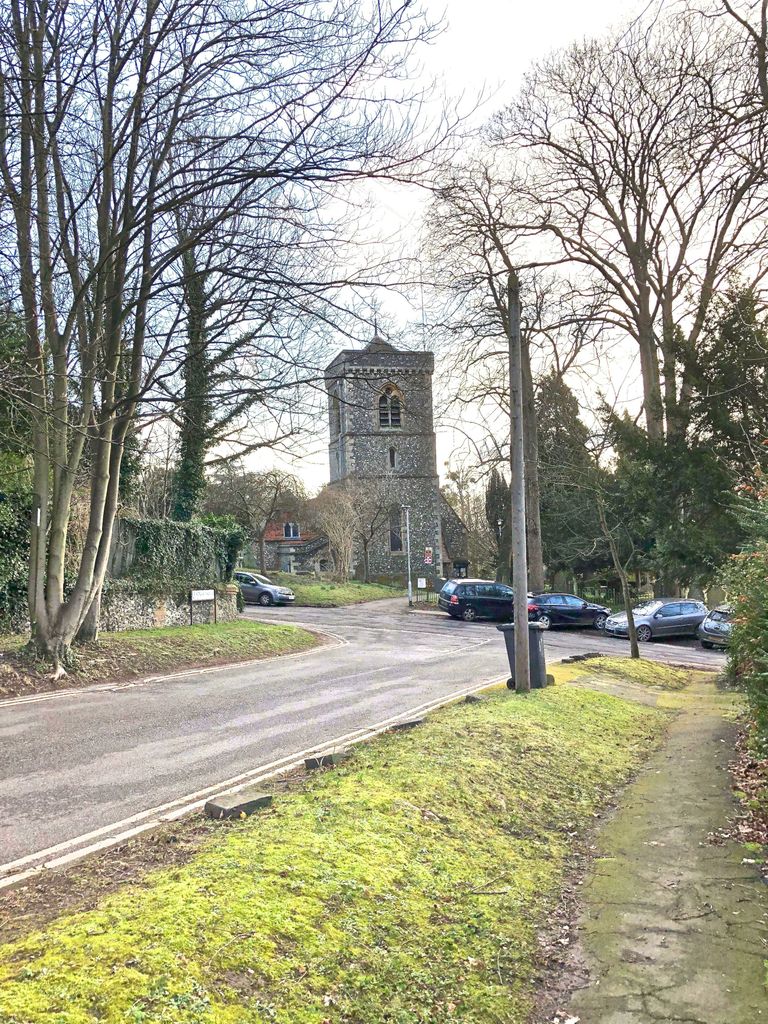
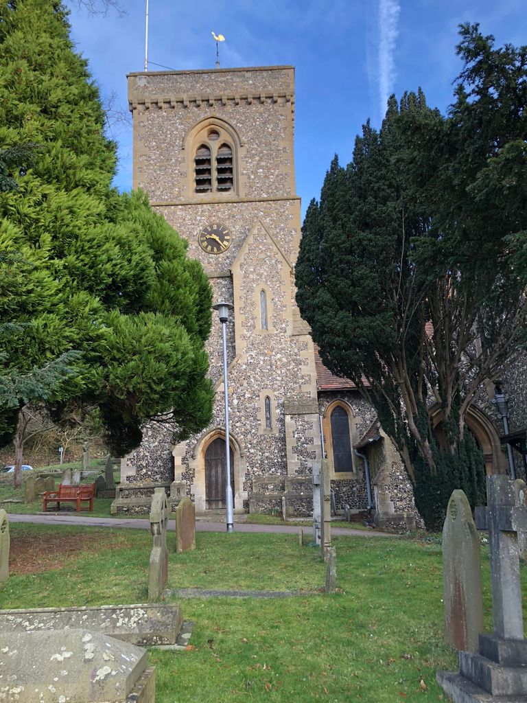
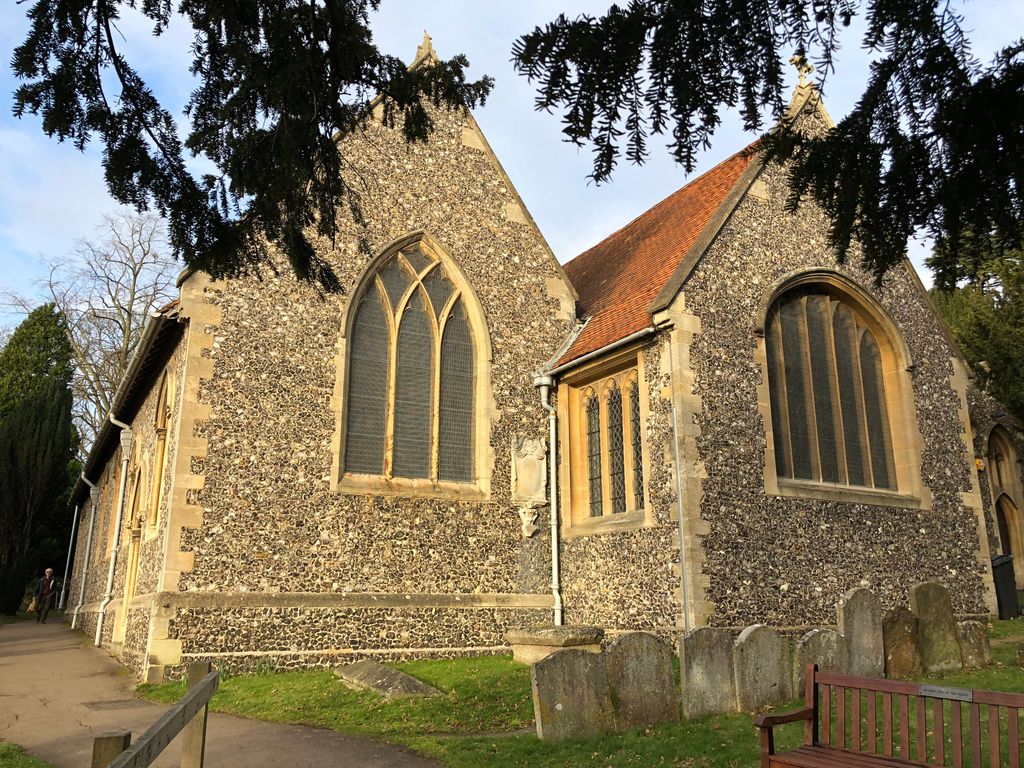
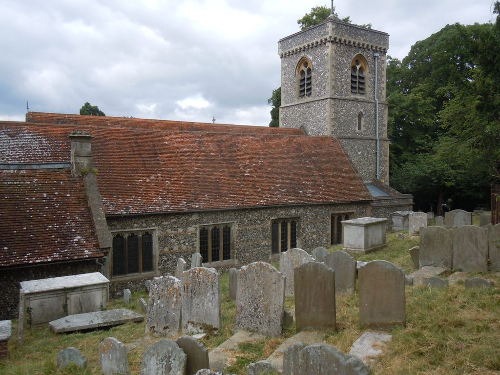
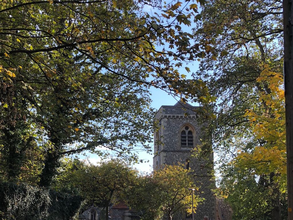
| Description | : | St. Peter's Church, Caversham dates from 1162 and was given to Notley Abbey, Buckinghamshire by Walter Gifford, Earl of Buckingham. After the dissolution of the monasteries, Christ Church, Oxford became the patron. During the Civil war in 1643, the tower was partially destroyed. It was rebuilt in timber and in 1878 replaced by the present tower. The tower contains a ring of 8 bells; the Fourth bell is the oldest and bears the inscription “Prayes God 1637”. Also in 1878, the south Aisle was added and the pulpit slightly rotated to its present alignment. Church plans... Read More |
frequently asked questions (FAQ):
-
Where is St. Peter's Churchyard?
St. Peter's Churchyard is located at Caversham, Reading Borough ,Berkshire ,England.
-
St. Peter's Churchyard cemetery's updated grave count on graveviews.com?
1 memorials
-
Where are the coordinates of the St. Peter's Churchyard?
Latitude: 51.4686597
Longitude: -0.9807669
Nearby Cemetories:
1. Caversham Cemetery
Caversham, Reading Borough, England
Coordinate: 51.4745850, -0.9758020
2. Greyfriars Churchyard
Reading, Reading Borough, England
Coordinate: 51.4567920, -0.9764880
3. St. Laurence Churchyard
Reading, Reading Borough, England
Coordinate: 51.4567474, -0.9686236
4. St. Mary's Churchyard
Reading, Reading Borough, England
Coordinate: 51.4544953, -0.9735278
5. Reading Abbey Ruins
Reading, Reading Borough, England
Coordinate: 51.4563710, -0.9651130
6. Reading Prison Cemetery
Reading, Reading Borough, England
Coordinate: 51.4564910, -0.9641120
7. Reading Cemetery and Crematorium
Caversham, Reading Borough, England
Coordinate: 51.4737690, -0.9546570
8. St Giles Churchyard
Reading, Reading Borough, England
Coordinate: 51.4509510, -0.9704450
9. Reading Cemetery
Reading, Reading Borough, England
Coordinate: 51.4529450, -0.9480160
10. All Saints Churchyard
Dunsden Green, South Oxfordshire District, England
Coordinate: 51.4917730, -0.9461650
11. Chapel of St Michael the Archangel
Mapledurham, South Oxfordshire District, England
Coordinate: 51.4849140, -1.0355910
12. St. Margaret's Churchyard
Mapledurham, South Oxfordshire District, England
Coordinate: 51.4850830, -1.0364690
13. St Mary the Virgin Cemetery
Purley on Thames, West Berkshire Unitary Authority, England
Coordinate: 51.4797100, -1.0402200
14. Kidmore End Cemetery
Kidmore End, South Oxfordshire District, England
Coordinate: 51.5071600, -0.9942160
15. St. John the Baptist Churchyard
Kidmore End, South Oxfordshire District, England
Coordinate: 51.5085170, -0.9951240
16. Earley St Peter Churchyard
Earley, Wokingham Borough, England
Coordinate: 51.4434820, -0.9290850
17. St. Andrew's Churchyard
Sonning, Wokingham Borough, England
Coordinate: 51.4740300, -0.9131640
18. Mays Lane Burial Ground
Earley, Wokingham Borough, England
Coordinate: 51.4431680, -0.9240020
19. Saint Nicholas Churchyard
Sulham, West Berkshire Unitary Authority, England
Coordinate: 51.4632900, -1.0729000
20. All Saints Churchyard
Rotherfield Peppard, South Oxfordshire District, England
Coordinate: 51.5280531, -0.9725009
21. St. Peter and St. Paul Churchyard
Shiplake, South Oxfordshire District, England
Coordinate: 51.4980750, -0.8963940
22. Saint Bartholomew Chapelyard
Goring Heath, South Oxfordshire District, England
Coordinate: 51.5102184, -1.0545583
23. St. Mary Churchyard
Shinfield, Wokingham Borough, England
Coordinate: 51.4081180, -0.9524620
24. St. Laurence Churchyard
Tidmarsh, West Berkshire Unitary Authority, England
Coordinate: 51.4663800, -1.0873800