
| Memorials | : | 48 |
| Location | : | Newbottle, South Northamptonshire Borough, England |
| Website | : | newbottlechurch.weebly.com/ |
| Coordinate | : | 52.0280500, -1.2382170 |
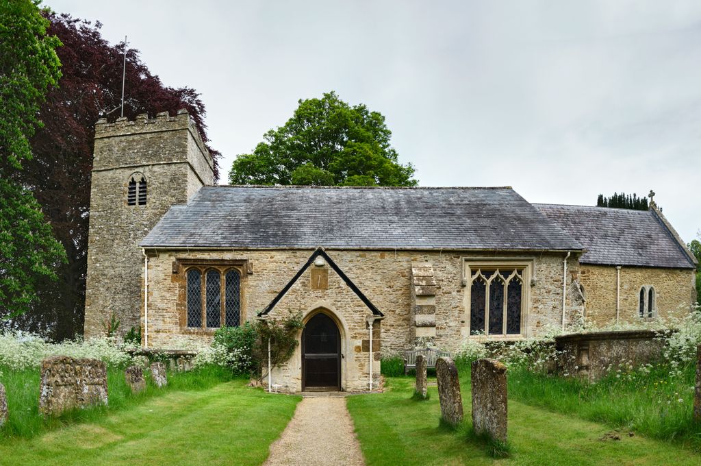
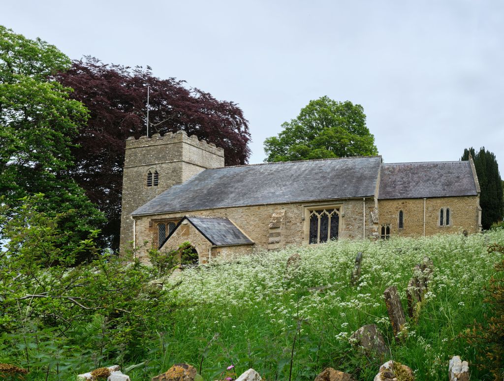
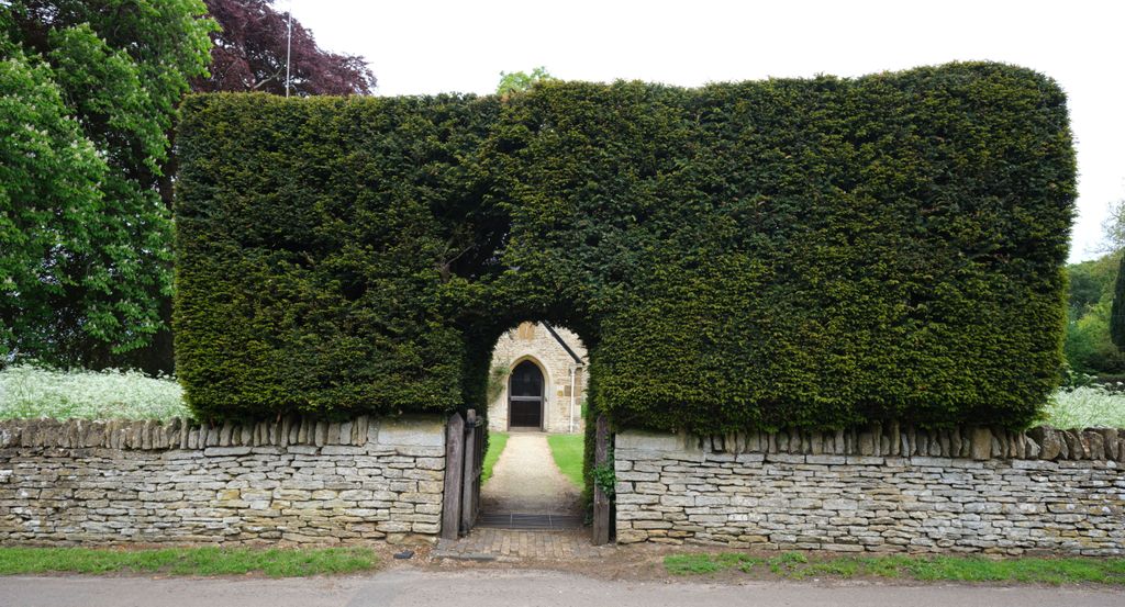
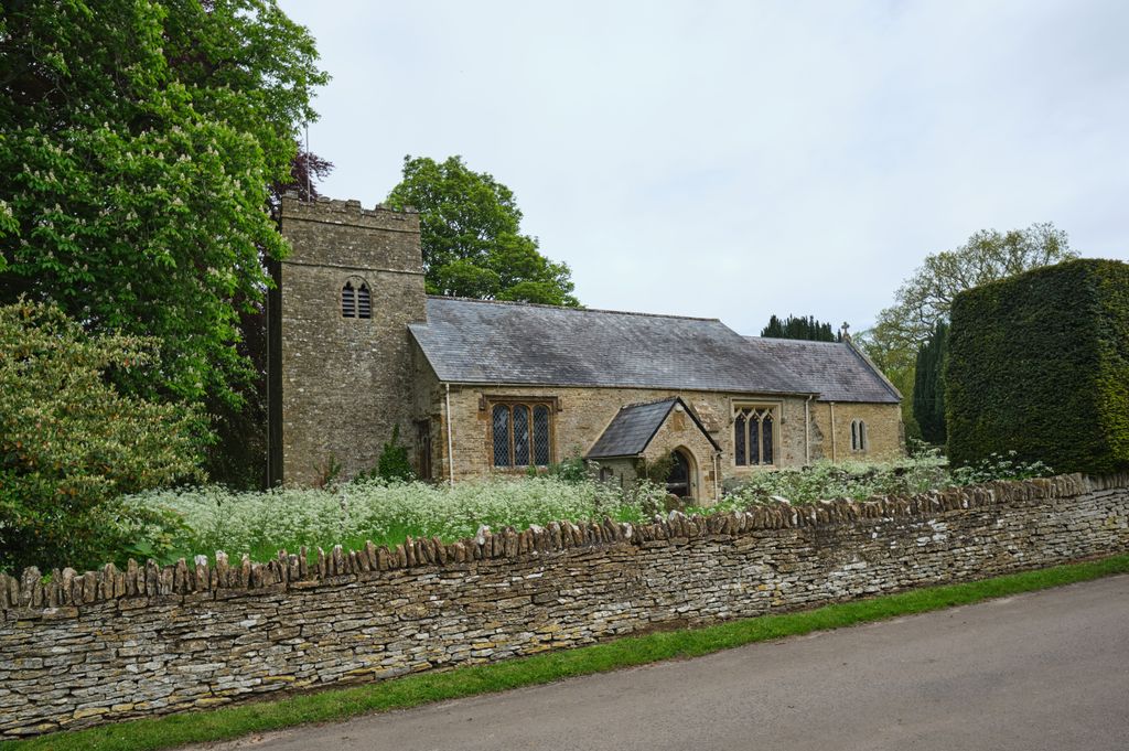
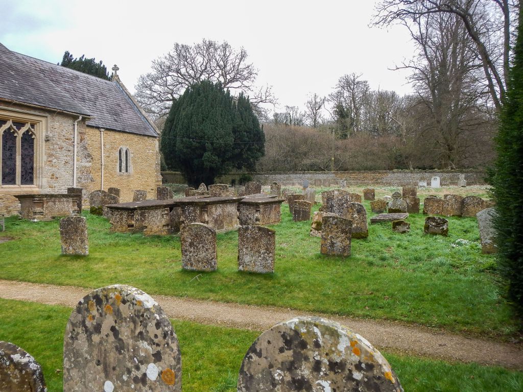
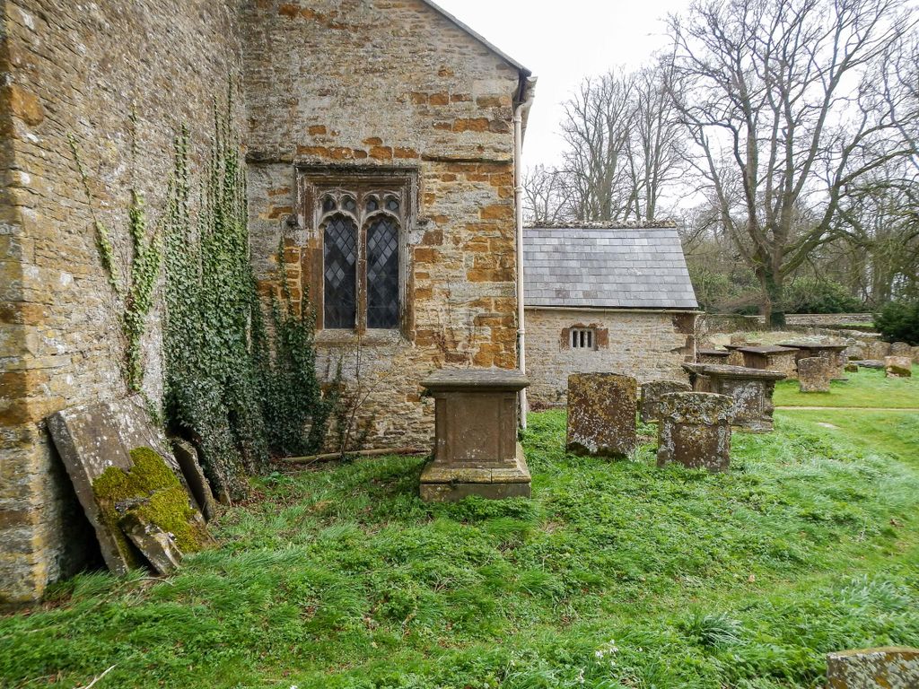
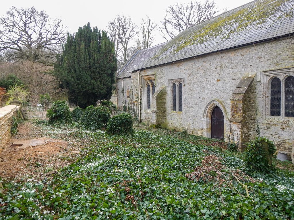
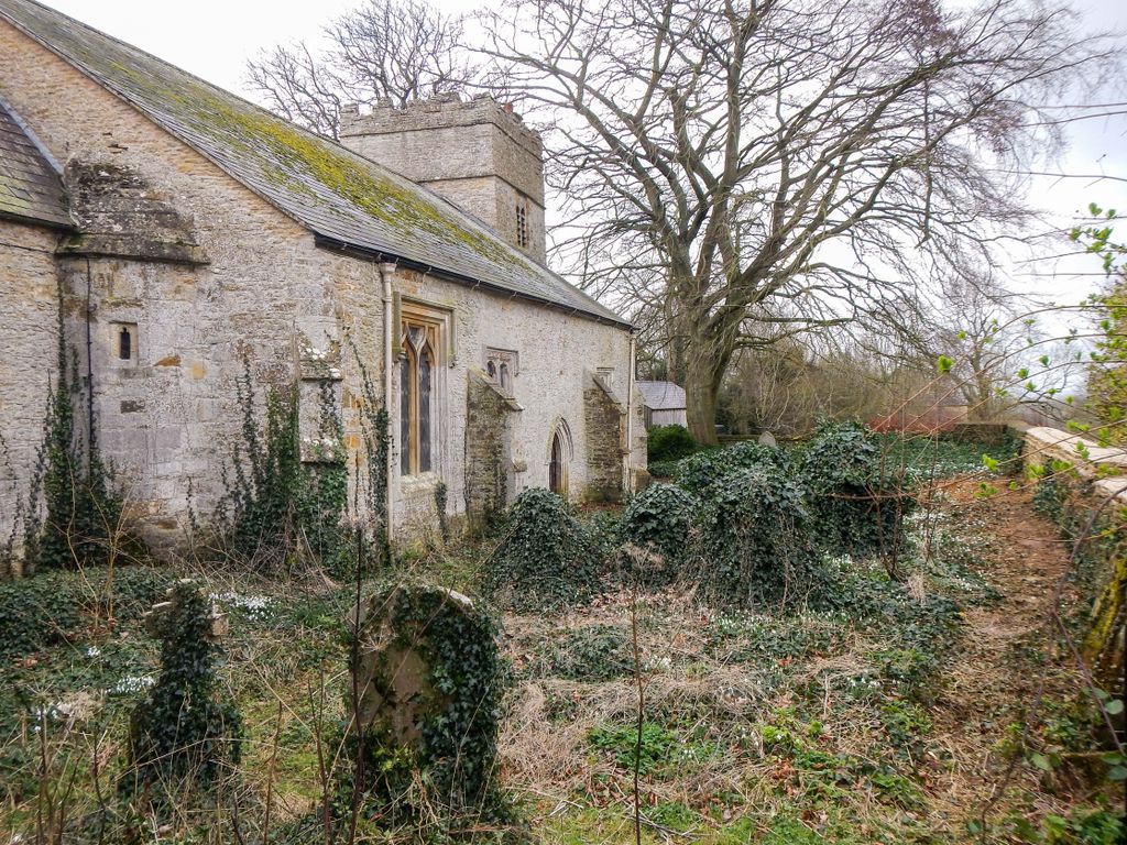
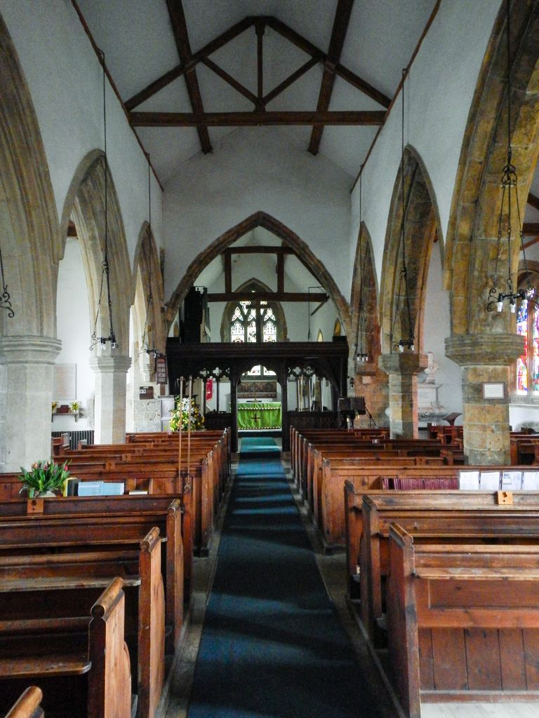
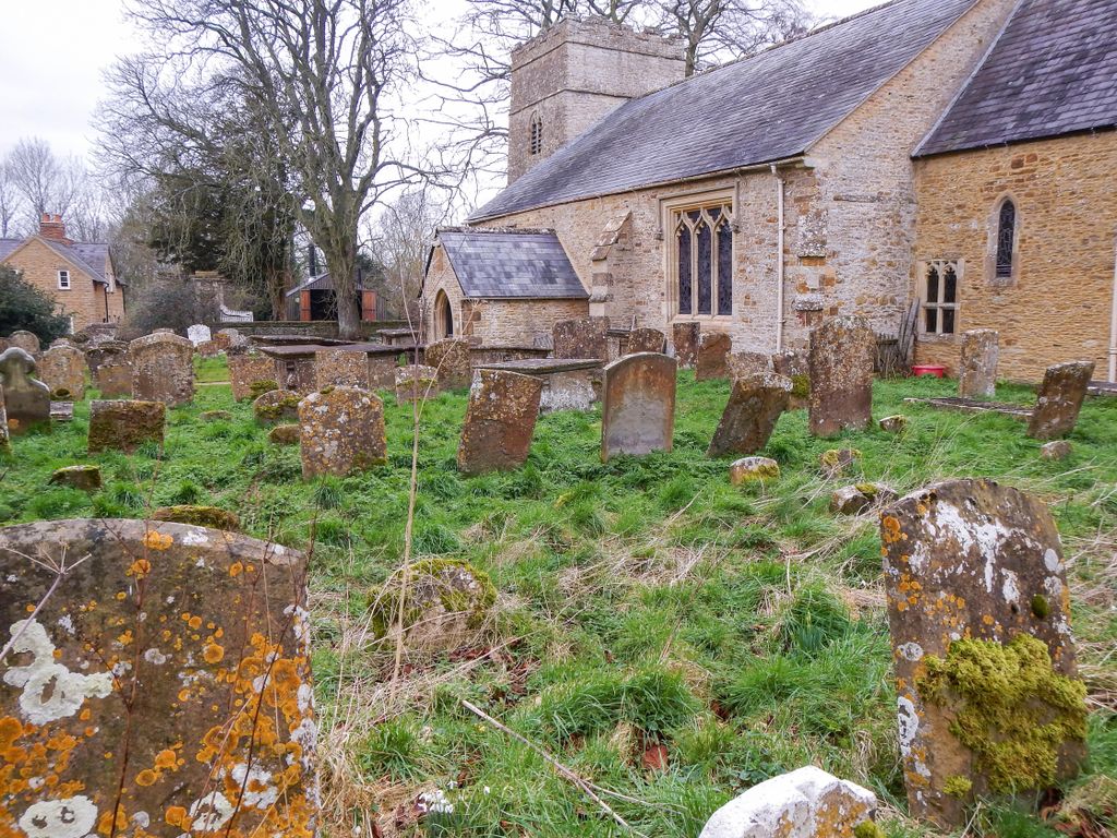
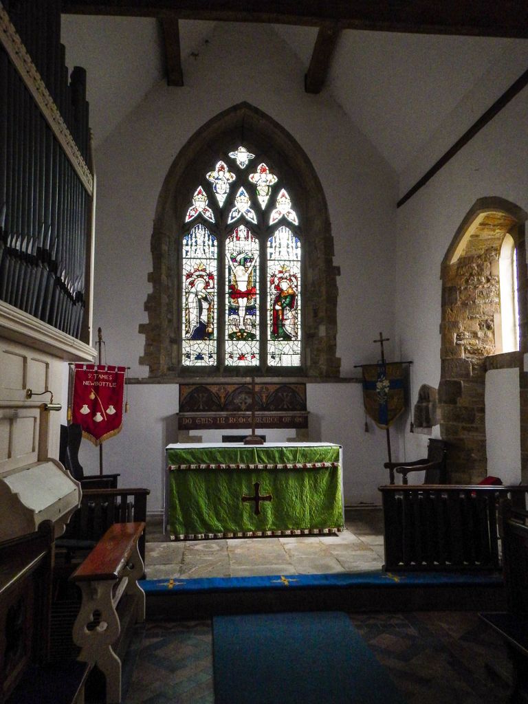
| Description | : | The Church of St James is a Grade II* listed building (No. 1265911) with Historic England. It dates from before the year 1200, and was probably built by the Lord of the Manor. With the exception of the tower, within 100 years, that building was demolished and rebuilt on a larger scale, to the same dimensions as we see today. In about 1500 the nave windows may have been inserted at the same time as the rebuilding of the adjacent Newbottle Manor. Some other windows are later. In 1856 further restoration took place as well as the addition of the... Read More |
frequently asked questions (FAQ):
-
Where is Saint James' Churchyard?
Saint James' Churchyard is located at Newbottle, South Northamptonshire Borough ,Northamptonshire , OX17 3DDEngland.
-
Saint James' Churchyard cemetery's updated grave count on graveviews.com?
48 memorials
-
Where are the coordinates of the Saint James' Churchyard?
Latitude: 52.0280500
Longitude: -1.2382170
Nearby Cemetories:
1. Newbottle and Charlton Cemetery
Newbottle, South Northamptonshire Borough, England
Coordinate: 52.0225300, -1.2351200
2. Kings Sutton Cemetery
Kings Sutton, South Northamptonshire Borough, England
Coordinate: 52.0151400, -1.2711000
3. Ss Peter and Paul Churchyard
Kings Sutton, South Northamptonshire Borough, England
Coordinate: 52.0212000, -1.2763560
4. Holy Trinity Church
Hinton-in-the-Hedges, South Northamptonshire Borough, England
Coordinate: 52.0281190, -1.1881330
5. Croughton Cemetery
Croughton, South Northamptonshire Borough, England
Coordinate: 52.0014880, -1.2031960
6. St Michael Churchyard
Aynho, South Northamptonshire Borough, England
Coordinate: 51.9936080, -1.2522380
7. All Saints Churchyard
Croughton, South Northamptonshire Borough, England
Coordinate: 51.9977370, -1.2065760
8. St Mary the Virgin Churchyard
Thenford, South Northamptonshire Borough, England
Coordinate: 52.0697510, -1.2442930
9. St Mary the Virgin Churchyard
Souldern, Cherwell District, England
Coordinate: 51.9808600, -1.2399900
10. St Mary Church
Warkworth, South Northamptonshire Borough, England
Coordinate: 52.0627000, -1.2917000
11. St. Lawrence Churchyard
Marston St Lawrence, South Northamptonshire Borough, England
Coordinate: 52.0744570, -1.2190630
12. St Mary the Virgin Churchyard
Adderbury, Cherwell District, England
Coordinate: 52.0148420, -1.3152270
13. Middleton Cheney Cemetery
Middleton Cheney, South Northamptonshire Borough, England
Coordinate: 52.0745100, -1.2692900
14. All Saints Churchyard
Middleton Cheney, South Northamptonshire Borough, England
Coordinate: 52.0741984, -1.2740247
15. Adderbury Parish Cemetery
Adderbury, Cherwell District, England
Coordinate: 52.0139537, -1.3246874
16. St. Peter's Churchyard
Greatworth, South Northamptonshire Borough, England
Coordinate: 52.0770540, -1.1954490
17. Halse Road Cemetery
Brackley, South Northamptonshire Borough, England
Coordinate: 52.0395310, -1.1494450
18. Hospital of St James and St John
Brackley, South Northamptonshire Borough, England
Coordinate: 52.0284000, -1.1473000
19. Saint John the Baptist Churchyard
Bodicote, Cherwell District, England
Coordinate: 52.0356100, -1.3305700
20. St. Peter's Churchyard
Brackley, South Northamptonshire Borough, England
Coordinate: 52.0309710, -1.1390480
21. Bodicote Cemetery
Bodicote, Cherwell District, England
Coordinate: 52.0391710, -1.3397380
22. St John the Evangelist
Milton, Cherwell District, England
Coordinate: 52.0117900, -1.3452510
23. Fritwell Parish Council Cemetery
Fritwell, Cherwell District, England
Coordinate: 51.9599490, -1.2380650
24. St Olave Churchyard
Fritwell, Cherwell District, England
Coordinate: 51.9596980, -1.2381180