
| Memorials | : | 0 |
| Location | : | Baginton, Warwick District, England |
| Coordinate | : | 52.3698000, -1.4969000 |
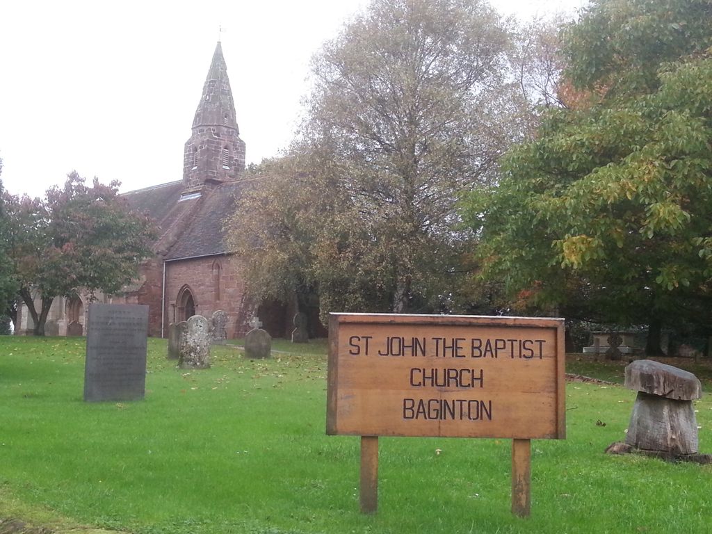
| Description | : | Grade: I Parish church, sandstone ashlar and rubble, steeply pitched plain tile roofs with gabled ends. Consists of chancel, nave, double north aisle, vestry and bell-turret. Dates from early 13th century with the addition of the second north aisle in the late 13th century. Chancel is buttressed. |
frequently asked questions (FAQ):
-
Where is Saint John the Baptist Church?
Saint John the Baptist Church is located at Kimberley Road Baginton, Warwick District ,Warwickshire , CV8 3AFEngland.
-
Saint John the Baptist Church cemetery's updated grave count on graveviews.com?
0 memorials
-
Where are the coordinates of the Saint John the Baptist Church?
Latitude: 52.3698000
Longitude: -1.4969000
Nearby Cemetories:
1. St Mary's Churchyard
Stoneleigh, Warwick District, England
Coordinate: 52.3504620, -1.5161400
2. St Giles Churchyard
Bubbenhall, Warwick District, England
Coordinate: 52.3501940, -1.4730830
3. London Road Cemetery
Coventry, Metropolitan Borough of Coventry, England
Coordinate: 52.3975420, -1.4966730
4. White Friars
Coventry, Metropolitan Borough of Coventry, England
Coordinate: 52.4050100, -1.5014800
5. Canley Garden Cemetery and Crematorium
Canley, Metropolitan Borough of Coventry, England
Coordinate: 52.3890370, -1.5475700
6. Greyfriars Coventry
Coventry, Metropolitan Borough of Coventry, England
Coordinate: 52.4059400, -1.5114400
7. St Leonard's Churchyard
Ryton-on-Dunsmore, Rugby Borough, England
Coordinate: 52.3674940, -1.4338580
8. St Michael's Cathedral
Coventry, Metropolitan Borough of Coventry, England
Coordinate: 52.4080000, -1.5071840
9. Coventry Cathedral
Coventry, Metropolitan Borough of Coventry, England
Coordinate: 52.4083290, -1.5067360
10. Holy Trinity Churchyard
Coventry, Metropolitan Borough of Coventry, England
Coordinate: 52.4085450, -1.5093060
11. Saint Mary's Priory and Cathedral Coventry
Coventry, Metropolitan Borough of Coventry, England
Coordinate: 52.4089000, -1.5085000
12. St Mary Magdalen
Chapelfields, Metropolitan Borough of Coventry, England
Coordinate: 52.4078970, -1.5316060
13. St Michael Churchyard
Coventry, Metropolitan Borough of Coventry, England
Coordinate: 52.4115820, -1.4747430
14. St Bartholomew Churchyard
Binley, Metropolitan Borough of Coventry, England
Coordinate: 52.4031820, -1.4468110
15. Westwood Churchyard
Coventry, Metropolitan Borough of Coventry, England
Coordinate: 52.3840345, -1.5717602
16. Assumption Of Our Lady Churchyard
Ashow, Warwick District, England
Coordinate: 52.3291370, -1.5431300
17. St. Michael's Churchyard
Weston under Wetherley, Warwick District, England
Coordinate: 52.3201580, -1.4728890
18. St Augustine Churchyard
Kenilworth, Warwick District, England
Coordinate: 52.3552230, -1.5842470
19. St. Nicholas Church
Kenilworth, Warwick District, England
Coordinate: 52.3493100, -1.5821600
20. Princethorpe Priory Nun's Cemetery
Princethorpe, Rugby Borough, England
Coordinate: 52.3360620, -1.4216400
21. Princethorpe Cemetery
Princethorpe, Rugby Borough, England
Coordinate: 52.3340670, -1.4232840
22. St Mary's Churchyard
Cubbington, Warwick District, England
Coordinate: 52.3122830, -1.4972400
23. St Mary Magdalen
Coventry, Metropolitan Borough of Coventry, England
Coordinate: 52.4236750, -1.4621960
24. St Mary Magdalene Wyken
Coventry, Metropolitan Borough of Coventry, England
Coordinate: 52.4236580, -1.4620770