
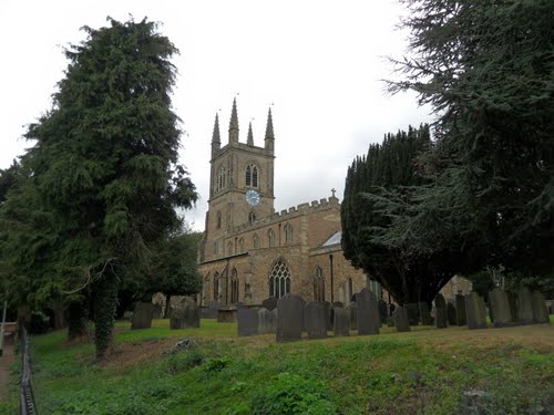
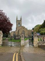
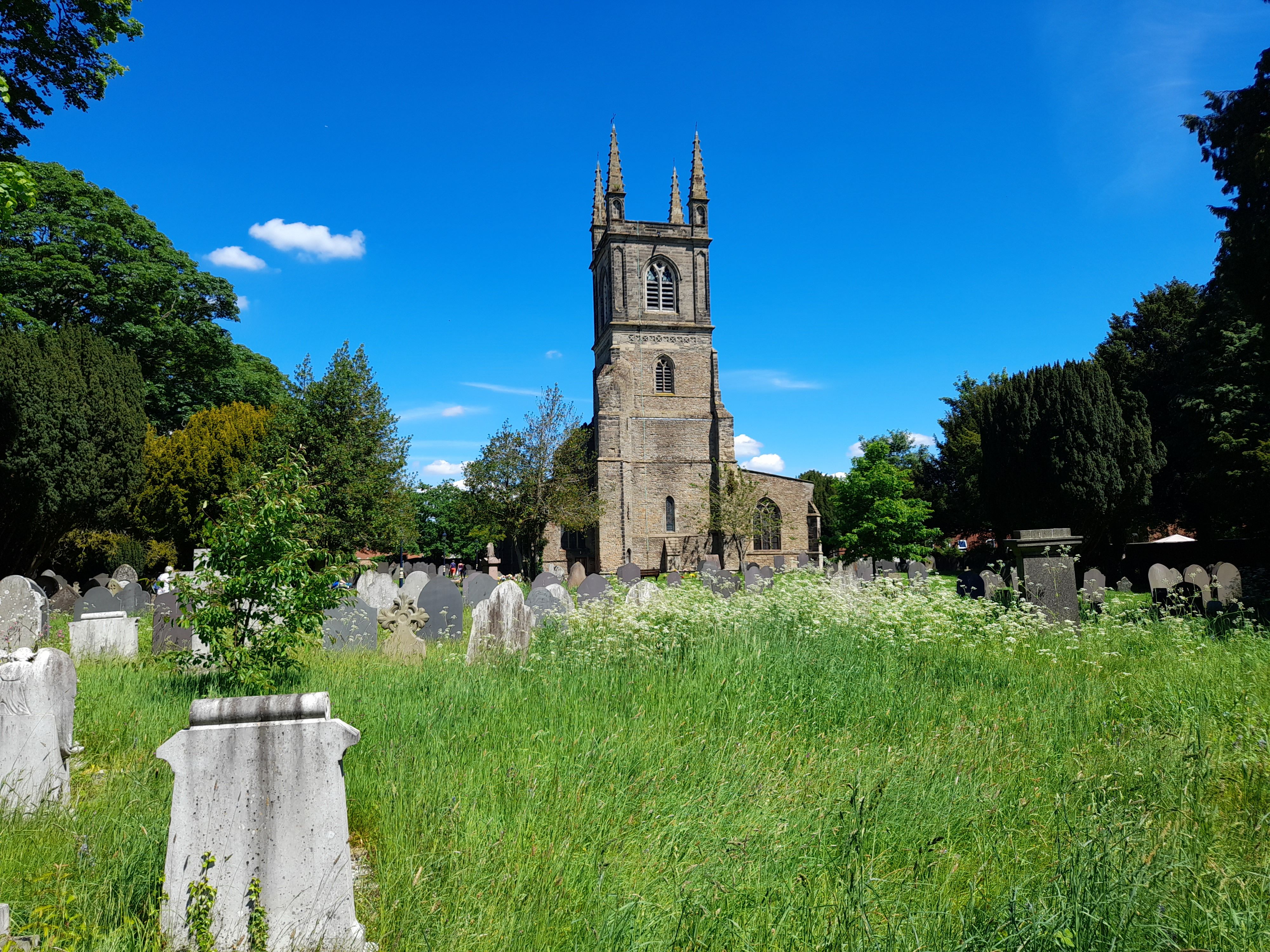
| Memorials | : | 96 |
| Location | : | Lutterworth, Harborough District, England |
| Coordinate | : | 52.4554750, -1.2023830 |
frequently asked questions (FAQ):
-
Where is Saint Mary's Churchyard?
Saint Mary's Churchyard is located at Church Street Lutterworth, Harborough District ,Leicestershire , LE17 4ANEngland.
-
Saint Mary's Churchyard cemetery's updated grave count on graveviews.com?
0 memorials
-
Where are the coordinates of the Saint Mary's Churchyard?
Latitude: 52.4554750
Longitude: -1.2023830
Nearby Cemetories:
1. St Leonard Churchyard
Misterton, Harborough District, England
Coordinate: 52.4510630, -1.1818140
2. St Mary Churchyard
Bitteswell, Harborough District, England
Coordinate: 52.4679220, -1.2105000
3. St Mary's Churchyard
Cotesbach, Harborough District, England
Coordinate: 52.4371220, -1.2085910
4. All Saints Churchyard
Gilmorton, Harborough District, England
Coordinate: 52.4855900, -1.1604900
5. St Peter Churchyard
Ashby Parva, Harborough District, England
Coordinate: 52.4930340, -1.2272720
6. St Leonard's churchyard
Willey, Rugby Borough, England
Coordinate: 52.4589200, -1.2705800
7. All Saints Churchyard
Kimcote, Harborough District, England
Coordinate: 52.4736330, -1.1390390
8. All Saints Churchyard
Shawell, Harborough District, England
Coordinate: 52.4123910, -1.2055290
9. Holy Trinity Churchyard
Churchover, Rugby Borough, England
Coordinate: 52.4229460, -1.2506850
10. Swinford cemetery
Swinford, Harborough District, England
Coordinate: 52.4088297, -1.1695096
11. All Saints Churchyard
Swinford, Harborough District, England
Coordinate: 52.4099260, -1.1642830
12. St Peters Churchyard
Leire, Harborough District, England
Coordinate: 52.5053690, -1.2266430
13. St. Peter's Churchyard
Claybrooke Parva, Harborough District, England
Coordinate: 52.4868640, -1.2708550
14. Claybrooke Cemetery
Claybrooke Parva, Harborough District, England
Coordinate: 52.4862230, -1.2724990
15. Church of All Saints
Dunton Bassett, Harborough District, England
Coordinate: 52.5091000, -1.1946000
16. St. Thomas Churchyard, Catthorpe
Catthorpe, Harborough District, England
Coordinate: 52.3986350, -1.1900710
17. St Nicholas Church
South Kilworth, Harborough District, England
Coordinate: 52.4316750, -1.1125110
18. St Nicholas' Churchyard
Stanford on Avon, Harborough District, England
Coordinate: 52.4045560, -1.1362100
19. St. Nicholas's Churchyard
Stanford-on-Avon, Daventry District, England
Coordinate: 52.4045020, -1.1359770
20. All Saints Churchyard
Lilbourne, Daventry District, England
Coordinate: 52.3919370, -1.1778810
21. Saint Nicholas Churchyard
Frolesworth, Harborough District, England
Coordinate: 52.5112740, -1.2599970
22. St. Andrew Churchyard
North Kilworth, Harborough District, England
Coordinate: 52.4432190, -1.0950880
23. St Joseph's Roman Catholic Cemetery
Monks Kirby, Rugby Borough, England
Coordinate: 52.4479540, -1.3111280
24. Lilbourne Burial Ground
Lilbourne, Daventry District, England
Coordinate: 52.3885400, -1.1792400