
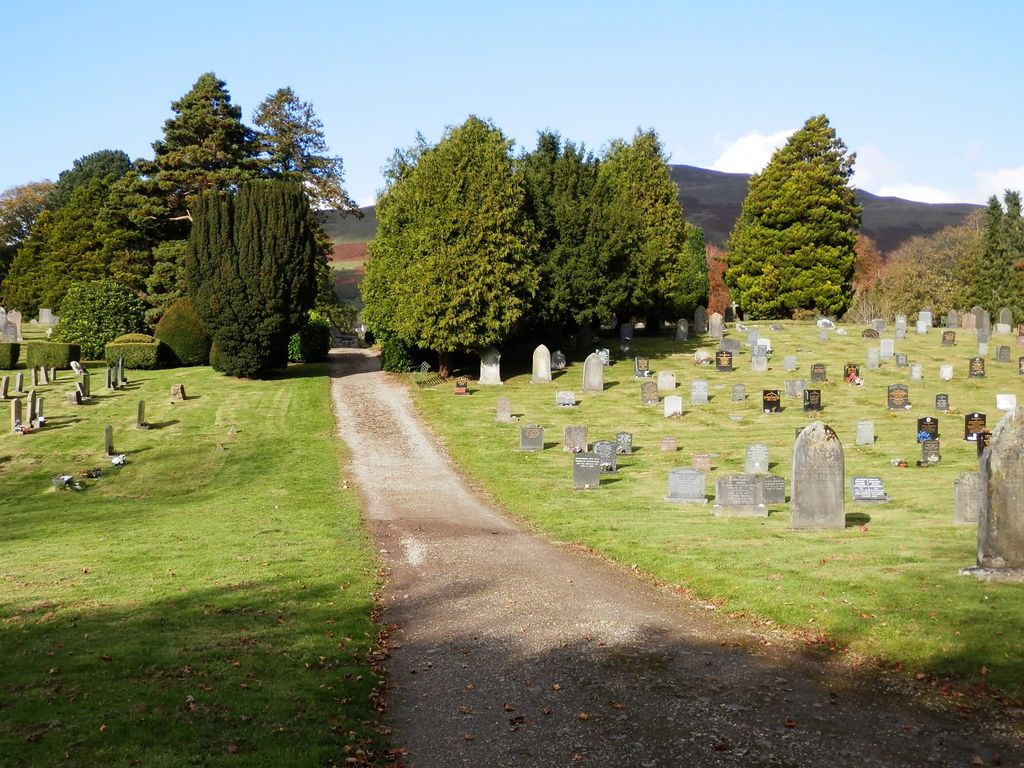
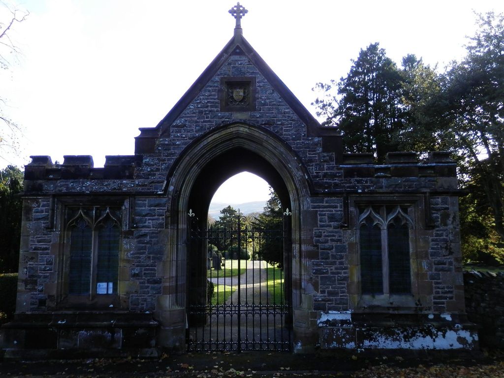
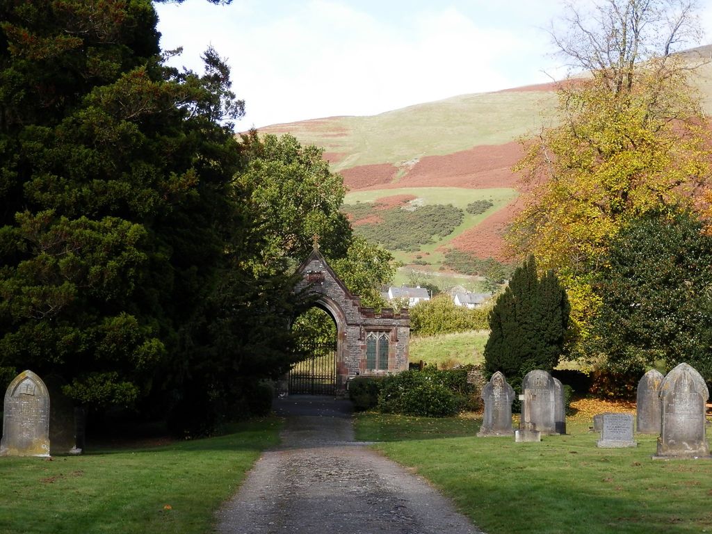
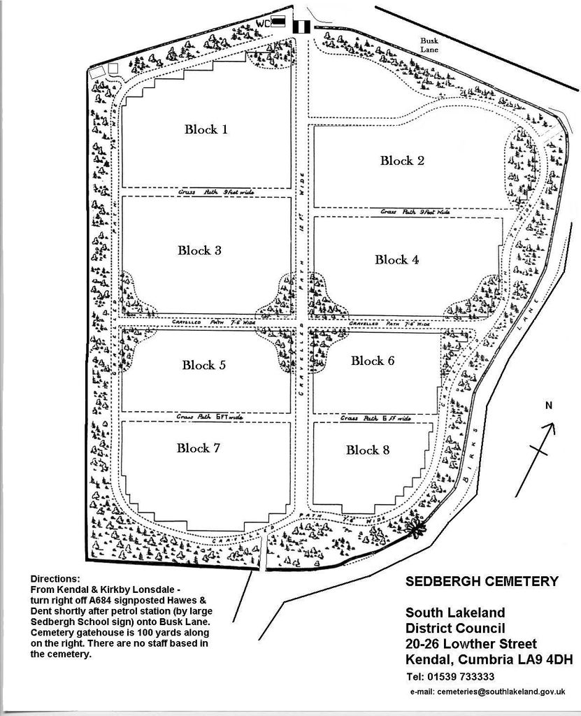
| Memorials | : | 0 |
| Location | : | Sedbergh, South Lakeland District, England |
| Coordinate | : | 54.3206230, -2.5361770 |
frequently asked questions (FAQ):
-
Where is Sedbergh Cemetery?
Sedbergh Cemetery is located at Busk Lane Sedbergh, South Lakeland District ,Cumbria ,England.
-
Sedbergh Cemetery cemetery's updated grave count on graveviews.com?
0 memorials
-
Where are the coordinates of the Sedbergh Cemetery?
Latitude: 54.3206230
Longitude: -2.5361770
Nearby Cemetories:
1. Saint Andrews Churchyard
Sedbergh, South Lakeland District, England
Coordinate: 54.3230690, -2.5285180
2. Quaker Graveyard
Brigflatts, South Lakeland District, England
Coordinate: 54.3146190, -2.5533360
3. St Gregory Churchyard
Sedbergh, South Lakeland District, England
Coordinate: 54.3240650, -2.5637360
4. St John the Evangelist Churchyard
Firbank, South Lakeland District, England
Coordinate: 54.3365050, -2.5737670
5. Frostrow Methodist Chapel Churchyard
Sedbergh, South Lakeland District, England
Coordinate: 54.3175080, -2.4871590
6. Holy Trinity Churchyard
Sedbergh, South Lakeland District, England
Coordinate: 54.3494590, -2.5651420
7. Cautley Methodist Churchyard
Sedbergh, South Lakeland District, England
Coordinate: 54.3419640, -2.4791850
8. St. Mark's Churchyard
Cautley, South Lakeland District, England
Coordinate: 54.3456280, -2.4767630
9. Saint John the Evangelist Churchyard
Cowgill, South Lakeland District, England
Coordinate: 54.2752710, -2.4914250
10. Church of Holy Ghost
Middleton, South Lakeland District, England
Coordinate: 54.2697500, -2.5800700
11. Dent Methodist Churchyard
Dent, South Lakeland District, England
Coordinate: 54.2786300, -2.4569800
12. Loneing-Dent Quaker Burial Ground
Dent, South Lakeland District, England
Coordinate: 54.2785440, -2.4570070
13. St Andrew Churchyard
Dent, South Lakeland District, England
Coordinate: 54.2781540, -2.4542310
14. Dent Zion Chapel
Dent, South Lakeland District, England
Coordinate: 54.2766335, -2.4558426
15. Quaker Burial Ground - Grayrigg
Grayrigg, South Lakeland District, England
Coordinate: 54.3664563, -2.6483654
16. St. Stephen's Churchyard
New Hutton, South Lakeland District, England
Coordinate: 54.3156560, -2.6747130
17. St John the Evangelist Churchyard
Grayrigg, South Lakeland District, England
Coordinate: 54.3681500, -2.6501200
18. Low Smithy Methodist Church Graveyard
Garsdale, South Lakeland District, England
Coordinate: 54.3003930, -2.3992090
19. St Bartholomew Churchyard
Barbon, South Lakeland District, England
Coordinate: 54.2365440, -2.5682800
20. St. John the Baptist Churchyard
Garsdale, South Lakeland District, England
Coordinate: 54.3008610, -2.3914140
21. St Peter's Churchyard
Mansergh, South Lakeland District, England
Coordinate: 54.2384190, -2.6118450
22. Holy Trinity Churchyard
Casterton, South Lakeland District, England
Coordinate: 54.2113570, -2.5768860
23. Quaker Burial Ground
Kendal, South Lakeland District, England
Coordinate: 54.3278200, -2.7285500
24. St. John The Baptist Cemetery Extension
Skelsmergh, South Lakeland District, England
Coordinate: 54.3519250, -2.7249650