
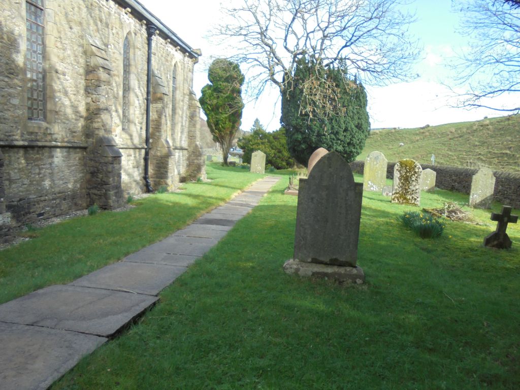
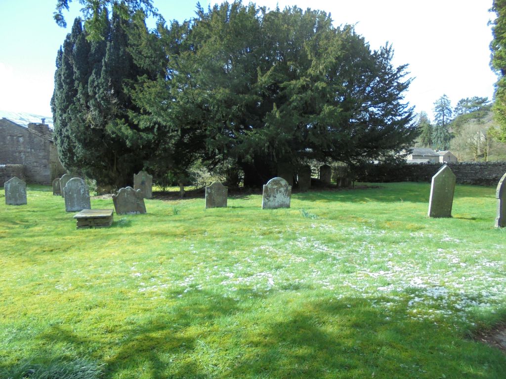
| Memorials | : | 0 |
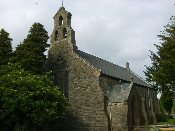
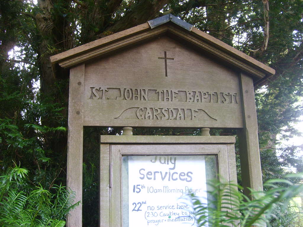
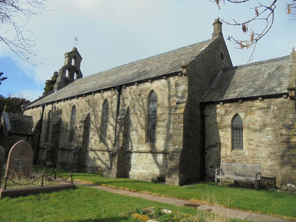
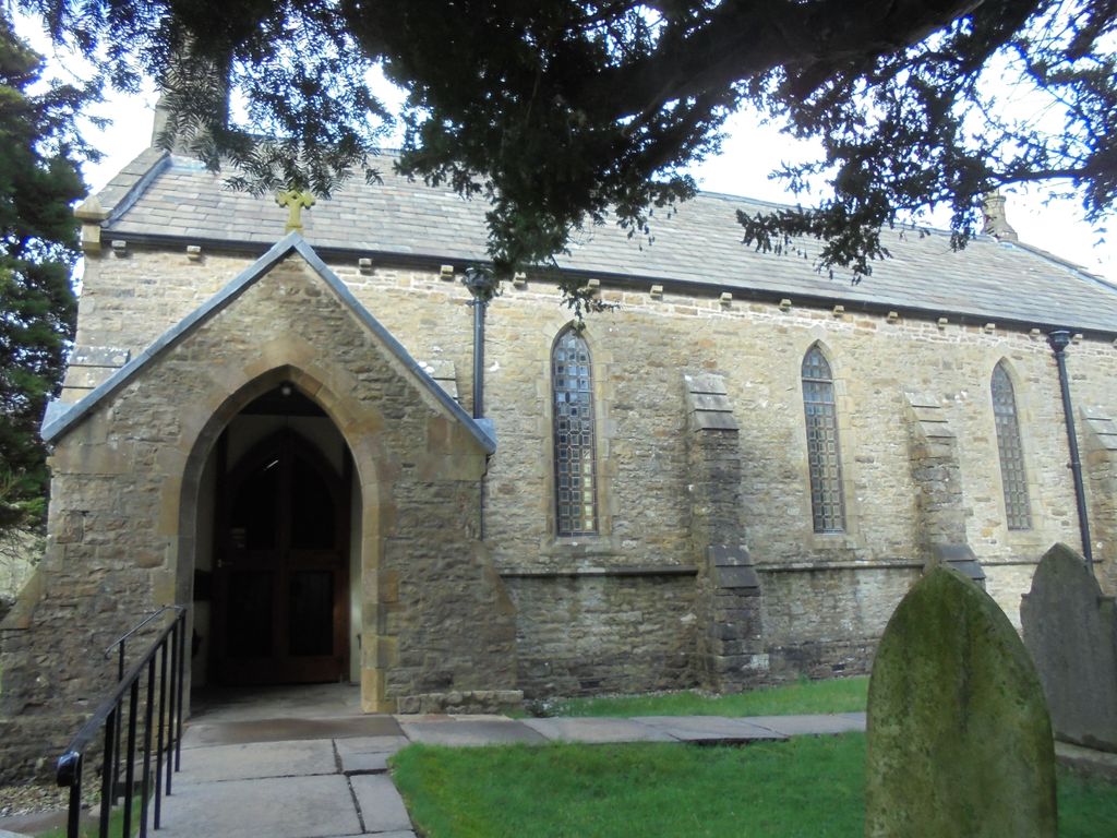
| Location | : | Garsdale, South Lakeland District, England |
| Coordinate | : | 54.3008610, -2.3914140 |
frequently asked questions (FAQ):
-
Where is St. John the Baptist Churchyard?
St. John the Baptist Churchyard is located at Garsdale, South Lakeland District ,Cumbria ,England.
-
St. John the Baptist Churchyard cemetery's updated grave count on graveviews.com?
0 memorials
-
Where are the coordinates of the St. John the Baptist Churchyard?
Latitude: 54.3008610
Longitude: -2.3914140
Nearby Cemetories:
1. Low Smithy Methodist Church Graveyard
Garsdale, South Lakeland District, England
Coordinate: 54.3003930, -2.3992090
2. St Andrew Churchyard
Dent, South Lakeland District, England
Coordinate: 54.2781540, -2.4542310
3. Dent Methodist Churchyard
Dent, South Lakeland District, England
Coordinate: 54.2786300, -2.4569800
4. Loneing-Dent Quaker Burial Ground
Dent, South Lakeland District, England
Coordinate: 54.2785440, -2.4570070
5. Dent Zion Chapel
Dent, South Lakeland District, England
Coordinate: 54.2766335, -2.4558426
6. Frostrow Methodist Chapel Churchyard
Sedbergh, South Lakeland District, England
Coordinate: 54.3175080, -2.4871590
7. Saint John the Evangelist Churchyard
Cowgill, South Lakeland District, England
Coordinate: 54.2752710, -2.4914250
8. Cautley Methodist Churchyard
Sedbergh, South Lakeland District, England
Coordinate: 54.3419640, -2.4791850
9. St. Mark's Churchyard
Cautley, South Lakeland District, England
Coordinate: 54.3456280, -2.4767630
10. Saint Andrews Churchyard
Sedbergh, South Lakeland District, England
Coordinate: 54.3230690, -2.5285180
11. Sedbergh Cemetery
Sedbergh, South Lakeland District, England
Coordinate: 54.3206230, -2.5361770
12. Quaker Graveyard
Brigflatts, South Lakeland District, England
Coordinate: 54.3146190, -2.5533360
13. St Gregory Churchyard
Sedbergh, South Lakeland District, England
Coordinate: 54.3240650, -2.5637360
14. St. Mary and St. John Churchyard
Hardraw, Richmondshire District, England
Coordinate: 54.3169800, -2.2052700
15. St Leonard Churchyard
Chapel-le-Dale, Craven District, England
Coordinate: 54.1897200, -2.4032880
16. St Mary's Churchyard
Mallerstang, Eden District, England
Coordinate: 54.4079040, -2.3374060
17. St John the Evangelist Churchyard
Firbank, South Lakeland District, England
Coordinate: 54.3365050, -2.5737670
18. Holy Trinity Churchyard
Sedbergh, South Lakeland District, England
Coordinate: 54.3494590, -2.5651420
19. Sandemanian Chapel Burial Ground
Hawes, Richmondshire District, England
Coordinate: 54.2992110, -2.1982010
20. St. Margaret's Churchyard
Hawes, Richmondshire District, England
Coordinate: 54.3032300, -2.1969700
21. Church of Holy Ghost
Middleton, South Lakeland District, England
Coordinate: 54.2697500, -2.5800700
22. Friends Burial Ground
Hawes, Richmondshire District, England
Coordinate: 54.3039790, -2.1937940
23. St Bartholomew Churchyard
Barbon, South Lakeland District, England
Coordinate: 54.2365440, -2.5682800
24. High Chapel Burial Ground
Ravenstonedale, Eden District, England
Coordinate: 54.4299450, -2.4286560