
| Memorials | : | 13 |
| Location | : | Smithfield, Jefferson County, USA |
| Coordinate | : | 40.2161805, -80.8742561 |
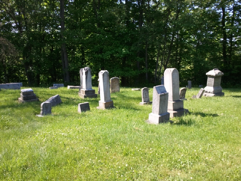
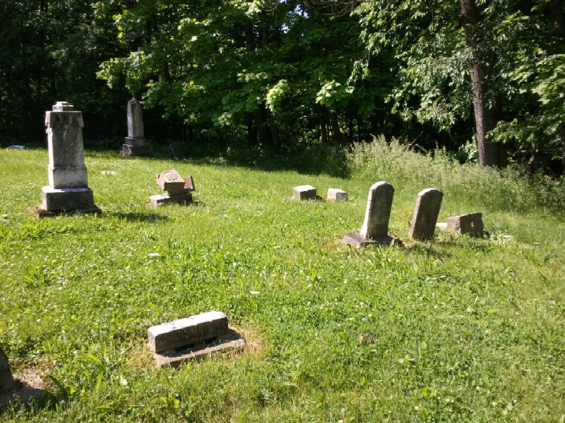
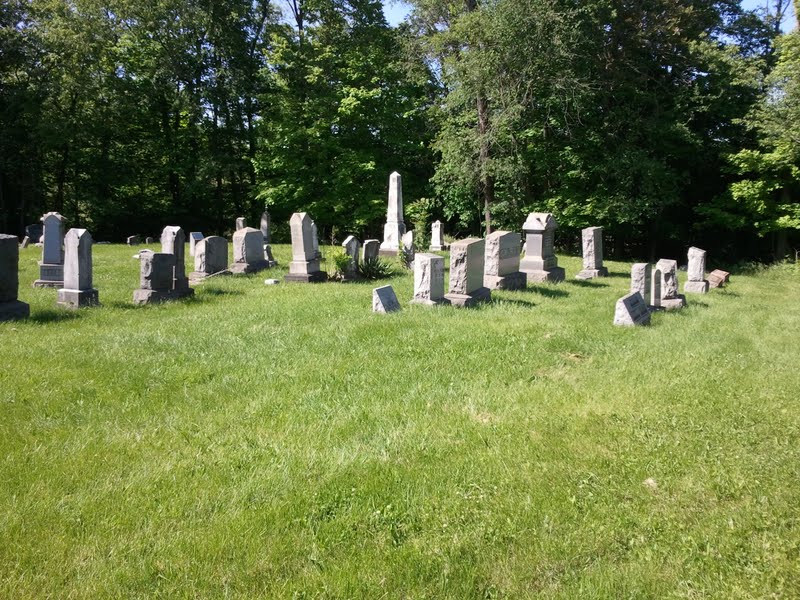
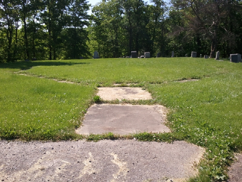
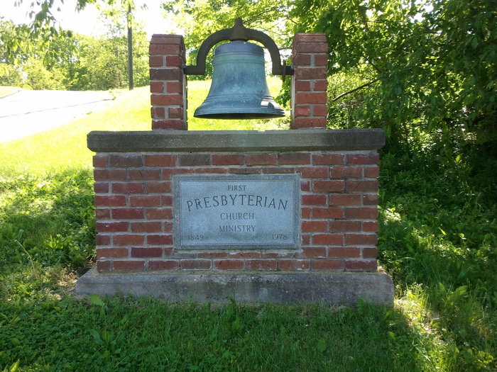
| Description | : | The cemetery is located on the west side of Wilson Avenue at its intersection with South Bridges Street / Smithfield-Adena Road (County Road 10). The cemetery is 0.25 acre in size. The cemetery is located in Smithfield Township, Jefferson County, Ohio, and is # 6078 (Adena Presbyterian Church Cemetery) in “Ohio Cemeteries 1803-2003”, compiled by the Ohio Genealogical Society. The U.S. Geological Survey (USGS) Geographic Names Information System (GNIS) feature ID for the cemetery is 1961677 (Adena Presbyterian Cemetery). |
frequently asked questions (FAQ):
-
Where is Adena Presbyterian Church Cemetery?
Adena Presbyterian Church Cemetery is located at Wilson Avenue Smithfield, Jefferson County ,Ohio , 43901USA.
-
Adena Presbyterian Church Cemetery cemetery's updated grave count on graveviews.com?
13 memorials
-
Where are the coordinates of the Adena Presbyterian Church Cemetery?
Latitude: 40.2161805
Longitude: -80.8742561
Nearby Cemetories:
1. Holmes Pioneer Cemetery
Adena, Jefferson County, USA
Coordinate: 40.2182999, -80.8527985
2. Saint Casimirs Roman Catholic Church Cemetery
Smithfield, Jefferson County, USA
Coordinate: 40.2131004, -80.8510971
3. Rehoboth Cemetery
Smithfield Township, Jefferson County, USA
Coordinate: 40.2336006, -80.8593979
4. Friends Meeting House Cemetery
Adena, Jefferson County, USA
Coordinate: 40.1903970, -80.8805160
5. Wilson Cemetery
Mount Pleasant Township, Jefferson County, USA
Coordinate: 40.1824989, -80.8807983
6. Alley Cemetery
Harrisville, Harrison County, USA
Coordinate: 40.1828003, -80.8861008
7. Furbay Cemetery
Georgetown, Harrison County, USA
Coordinate: 40.2155991, -80.9227982
8. Olive Branch Cemetery
Harrisville, Harrison County, USA
Coordinate: 40.1810989, -80.8953018
9. Georgetown Graveyard
Harrisville, Harrison County, USA
Coordinate: 40.2138830, -80.9275670
10. Short Creek Cemetery
Georgetown, Harrison County, USA
Coordinate: 40.2139015, -80.9278030
11. West Grove Cemetery
Cadiz, Harrison County, USA
Coordinate: 40.2285995, -80.9366989
12. Hicksite Cemetery
Emerson, Jefferson County, USA
Coordinate: 40.1761017, -80.8289032
13. Short Creek Cemetery
Bergholz, Jefferson County, USA
Coordinate: 40.1817017, -80.8116989
14. Short Creek Cemetery
Mount Pleasant, Jefferson County, USA
Coordinate: 40.1802000, -80.8124400
15. Wheeler Cemetery
Smithfield, Jefferson County, USA
Coordinate: 40.2453003, -80.7996979
16. Pleasant Grove Cemetery
Pleasant Grove, Belmont County, USA
Coordinate: 40.1507988, -80.8463974
17. Stiers Cemetery
Harrisville, Harrison County, USA
Coordinate: 40.1692009, -80.9400024
18. Highland Cemetery
Mount Pleasant, Jefferson County, USA
Coordinate: 40.1785580, -80.7966240
19. Holly Memorial Gardens
Pleasant Grove, Belmont County, USA
Coordinate: 40.1479460, -80.8419940
20. Wheeling Valley Cemetery
Fairpoint, Belmont County, USA
Coordinate: 40.1455570, -80.9022550
21. Seceder Cemetery
Mount Pleasant, Jefferson County, USA
Coordinate: 40.1749992, -80.7936020
22. Beech Spring Cemetery
Hopedale, Harrison County, USA
Coordinate: 40.2933006, -80.8936005
23. Dickerson Church Cemetery
Cadiz, Harrison County, USA
Coordinate: 40.2308006, -80.9839020
24. Smithfield Quaker Cemetery
Smithfield, Jefferson County, USA
Coordinate: 40.2670010, -80.7844370